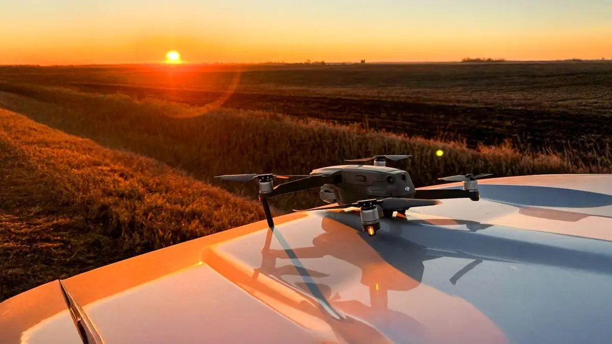
Farmers today face a familiar set of pressures: rising input costs, volatile commodity markets, and a shrinking pool of reliable labor. Staying ahead of those challenges requires more than hard work—it requires smart tools and innovation. Over the past several years, drones have quietly moved from novelty to necessity on farms across the country. From scouting fields after a storm to applying a foliar feed in a tight window, drones are giving farmers—and the managers who work alongside them—a faster, sharper view of what’s happening on the ground.
At Peoples Company, we’ve integrated drone technology into the way we manage land on behalf of our clients. Here’s a closer look at how drones are being used in modern agriculture—and how that translates into real value for the farms we manage.
What Do Drones Actually Cost?
One of the first questions people ask is about the price. The answer depends heavily on what you need the drone to do.
Entry-level camera drones—the kind used for scouting and aerial photography—can run anywhere from $500 to $5,000. These are compact, portable units that provide a valuable bird’s-eye view of a field. They’re relatively easy to operate and require minimal setup. The adage, “You get what you pay for” can be applied to camera drones. The $500 entry level packages are great for starting out and learning the ropes, but you will quickly find the more you spend, the more you buy.
Spray drones are a different category altogether. Commercial-grade application drones capable of carrying and distributing crop protection products, foliar nutrients, or cover crop seed typically cost $15,000 for used to $30,000 or more to buy new. The DJI Agras T40, for example, can carry a 40-liter payload and cover roughly 40 acres per hour under good conditions. These machines also require supporting equipment—mixing tanks, charging stations, and spare batteries—as well as licensed operators.
The gap between a $2,000 scouting drone and a $25,000 spray drone reflects two different use cases. Both have a place in agriculture, but the investment level—and the return—are very different.
Crop Monitoring: Seeing What You Can’t See From the Road
Regular aerial imagery gives you something a windshield check never can: a comprehensive, overhead view of the entire field. That perspective matters more than most people realize. Walking or driving field edges catches obvious problems, but misses what’s happening in the middle third of a large field or in a low-lying area that floods every wet spring.
With drone imagery captured throughout the season, a land manager can:
Spot emergence issues or planting skips early enough to act
Identify wet areas, compaction zones, or drainage problems
Track crop canopy development and flag underperforming areas
Prioritize scouting and input applications where they’ll have the most impact
At Peoples Company, our land managers capture drone imagery on a regular basis. That imagery isn’t just for record-keeping—it directly informs the conversations we have with landowners and tenants about what the farm needs and where to focus.
Spray Drones: Precision Where Traditional Equipment Falls Short
Fungicide timing is one of the most yield-critical decisions in corn and soybean production. Miss the window, and you’re leaving bushels on the table. For fields that are too wet for ground equipment mid-season—or where canopy closure makes coverage difficult—spray drones offer a real alternative to waiting on an airplane or skipping the application altogether.
Spray drones are also being used for interseeding cover crops, particularly into standing corn or soybeans that sustain late season hail damage. Getting a cover crop established in a narrow window, without disturbing the main crop, is something spray drones handle well.
A few things worth knowing about spray drone operations:
They require an FAA Part 107 certification for commercial use, plus additional agricultural pesticide applicator licensing in most states
Applications typically run 1–3 gallons per acre—lower than ground rigs—so product formulation and adjuvant selection matters
Wind speed, temperature, and humidity all affect efficacy, just like any other application method
For most operations, spray drone work is contracted through a certified third-party service provider
Peoples Company does not operate spray drones directly, but we actively coordinate with qualified application providers when this service makes sense for a client’s operation. We help evaluate timing, field conditions, and cost-benefit so landowners aren’t navigating that decision alone.
Lesser-Known Uses Worth Knowing About
Beyond scouting and spraying, drones are being applied in ways that haven’t gotten as much attention but are showing real promise:
Thermal Imaging for Irrigation and Drainage
Thermal cameras on drones detect temperature variation across a field surface. Stressed crops run warmer than adequately watered plants, making thermal imagery a useful tool for identifying areas that need irrigation attention. The same technology can reveal subsurface tile drainage patterns or point to areas where existing tile may be failing—a finding that can be worth significant money to a landowner when caught early.
Soil Variability Mapping
Multispectral drones capture data beyond the visible spectrum that correlates with organic matter content, soil moisture levels, and nutrient availability. This data, combined with traditional soil sampling, gives agronomists a more complete picture of within-field variability—which in turn supports more accurate variable-rate fertilizer prescriptions.
Stand Counts and Emergence Mapping
High-resolution imagery taken shortly after planting can be processed with AI tools to generate automated stand counts and emergence maps. A field that appears fine from the road might show a 15% skip rate in a particular zone when the imagery is analyzed—information that affects replant decisions and yield expectations for the rest of the season.
Post-Season Field Assessment
Fall and early spring are ideal times for drone scouting when the crop is off the field and ground conditions tell a clearer story. Drainage patterns, erosion channels, compaction traces from harvest equipment, and waterway integrity are all visible from above in ways that don’t show up as easily in-season. Building a post-season imagery record over multiple years creates a baseline that’s genuinely useful for long-term farm planning.
The Bottom Line
Drones aren’t going to replace good agronomy or solid tenant relationships—but they make both better. The ability to see a farm from above, on a regular basis, with imagery that can be reviewed and shared, changes the quality of the decisions that follow.
For Peoples Company clients, that means more informed conversations, faster identification of problems, and clearer documentation of the farm’s condition over time. It’s one more way we work to protect and grow the value of the land we manage on your behalf.
A Note on Licensing and Insurance
Operating drones commercially—and especially applying pesticides with them—comes with real regulatory requirements. At the federal level, commercial drone operators need an FAA Part 107 Remote Pilot Certificate. Pesticide application by drone is regulated at the state level, and most states require the same applicator licensing as ground or aerial equipment.
Insurance is also a legitimate consideration. Liability coverage for agricultural drone operations, particularly spray applications near property lines, roads, or neighboring crops, is something any reputable operator should carry.
Peoples Company ensures that all drone operations conducted as part of our land management services—whether performed by our team or through contracted providers—meet applicable licensing and insurance requirements. That’s not fine print; it’s part of managing your asset responsibly.