162.3 Acres Quality Dryland | Sedgwick County, CO

New Listing
Sedgwick County, CO
162.30 Acres M/L

County Road 18
Sedgwick, CO 80749

Price $308,000
Listing #19647
Ben Gardiner

Land Agent

Ben Gardiner

Office: 855.800.LAND
Mobile: 970.520.4871
Ben.Gardiner@PeoplesCompany.com

Property Info

Description

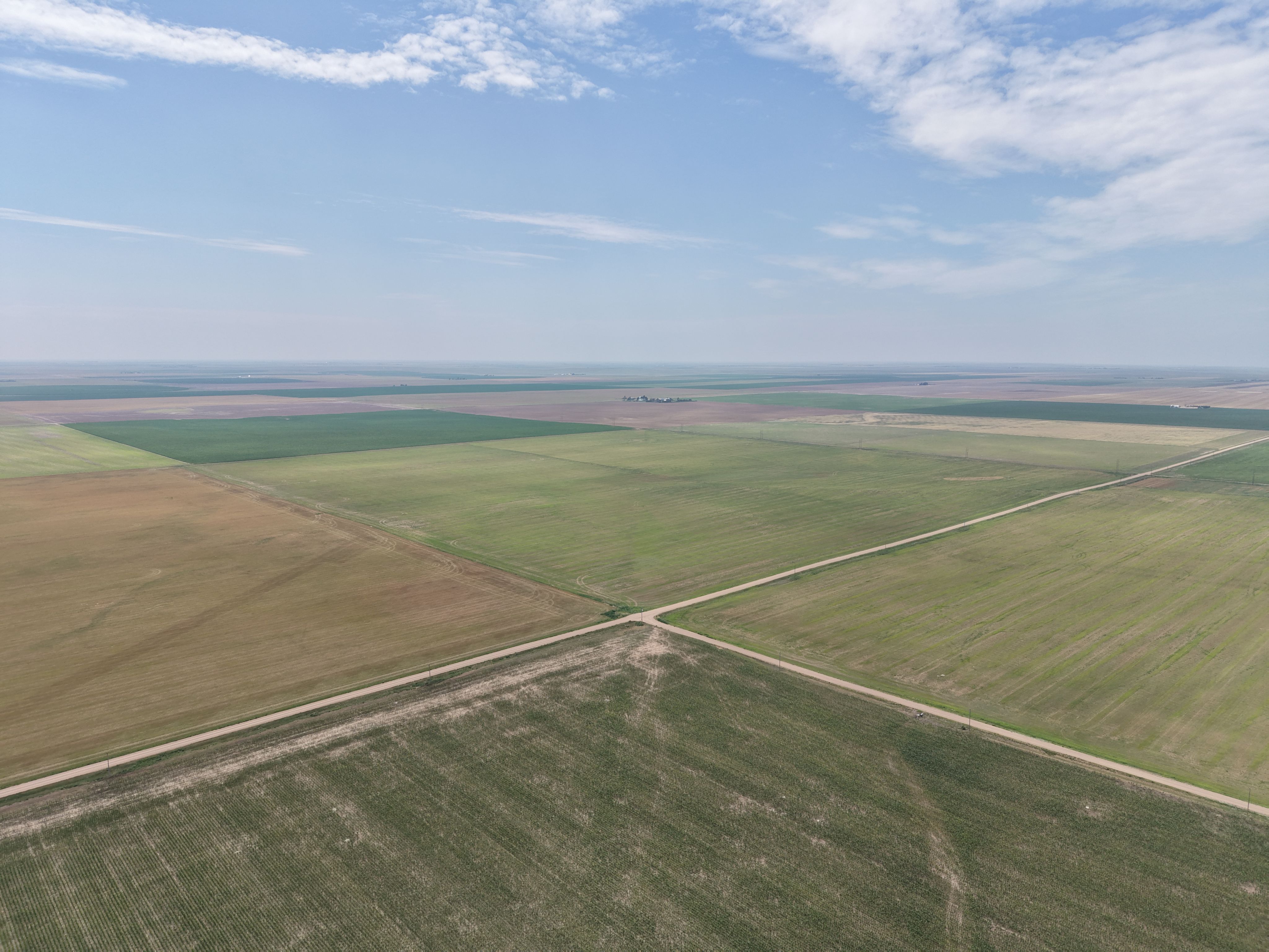
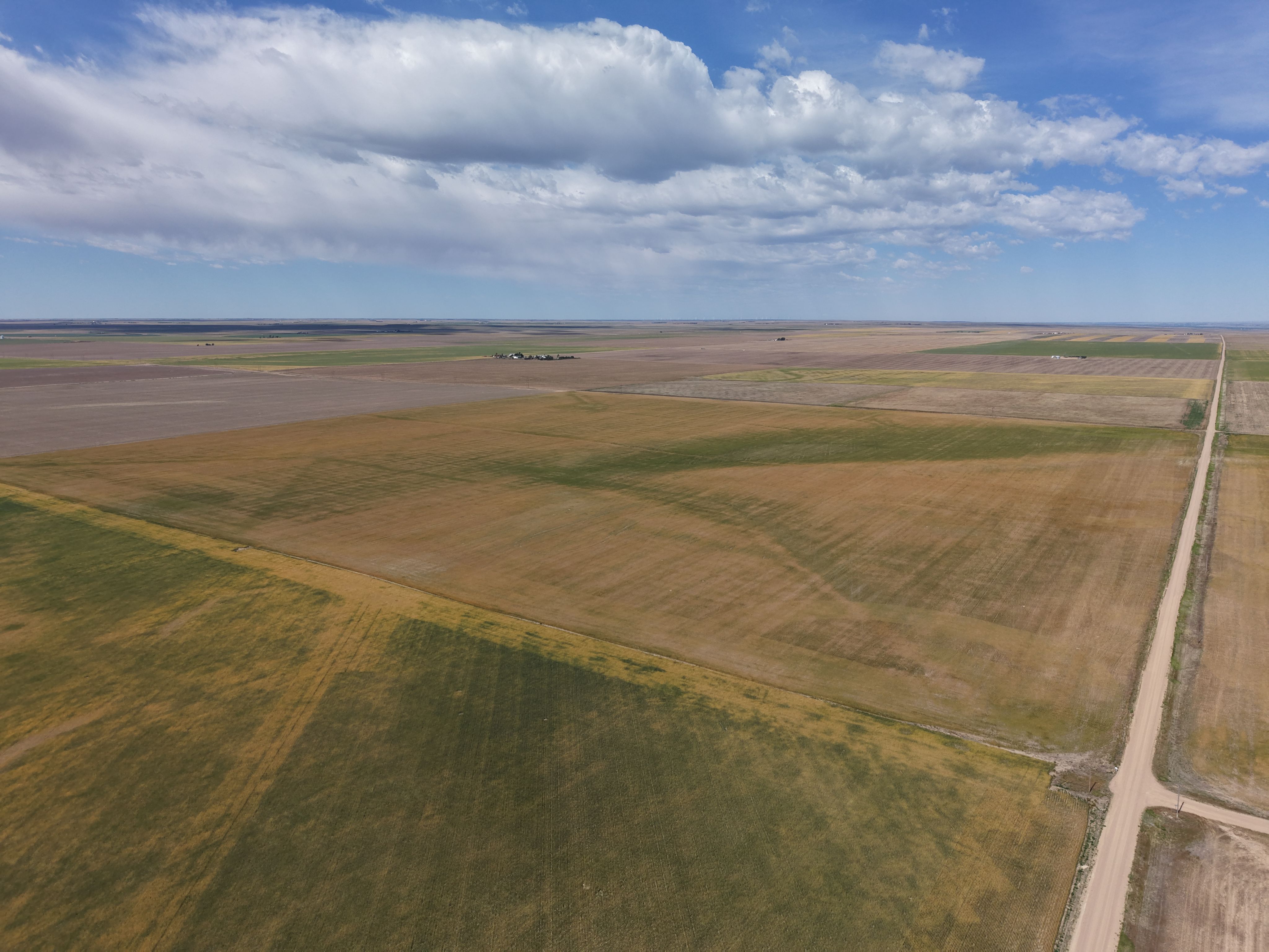
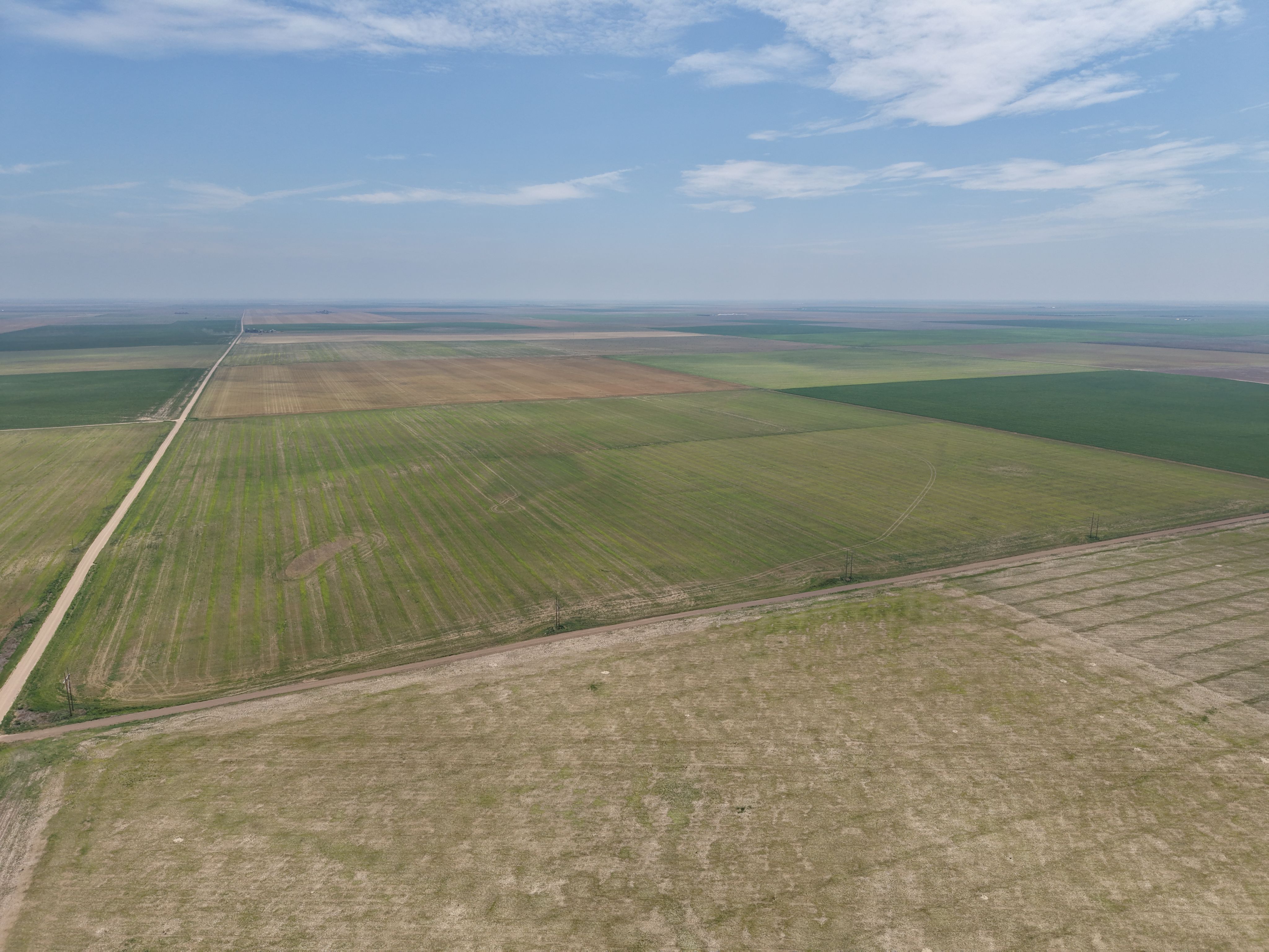
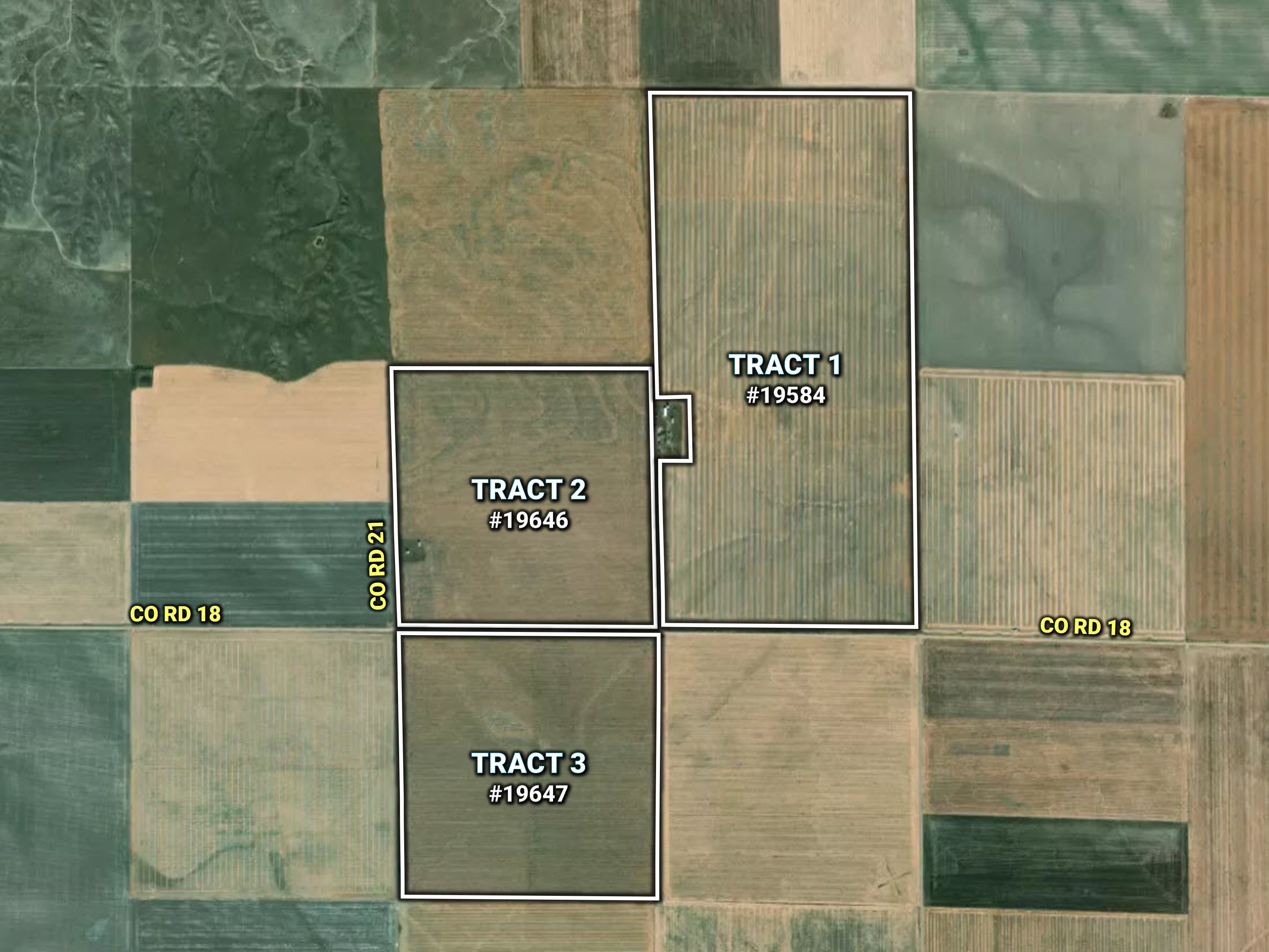
Peoples Company is honored to represent the Walter Estate in the sale of their Sedgwick County, Colorado property. Held by the same family for more than a century, this offering presents a rare opportunity to acquire a long-held asset in northeastern Colorado. There is a total of 648± contiguous acres of dry cropland being offered in three contiguous tracts. According to PRISM climate data, this area receives approximately 18 inches of annual precipitation. 

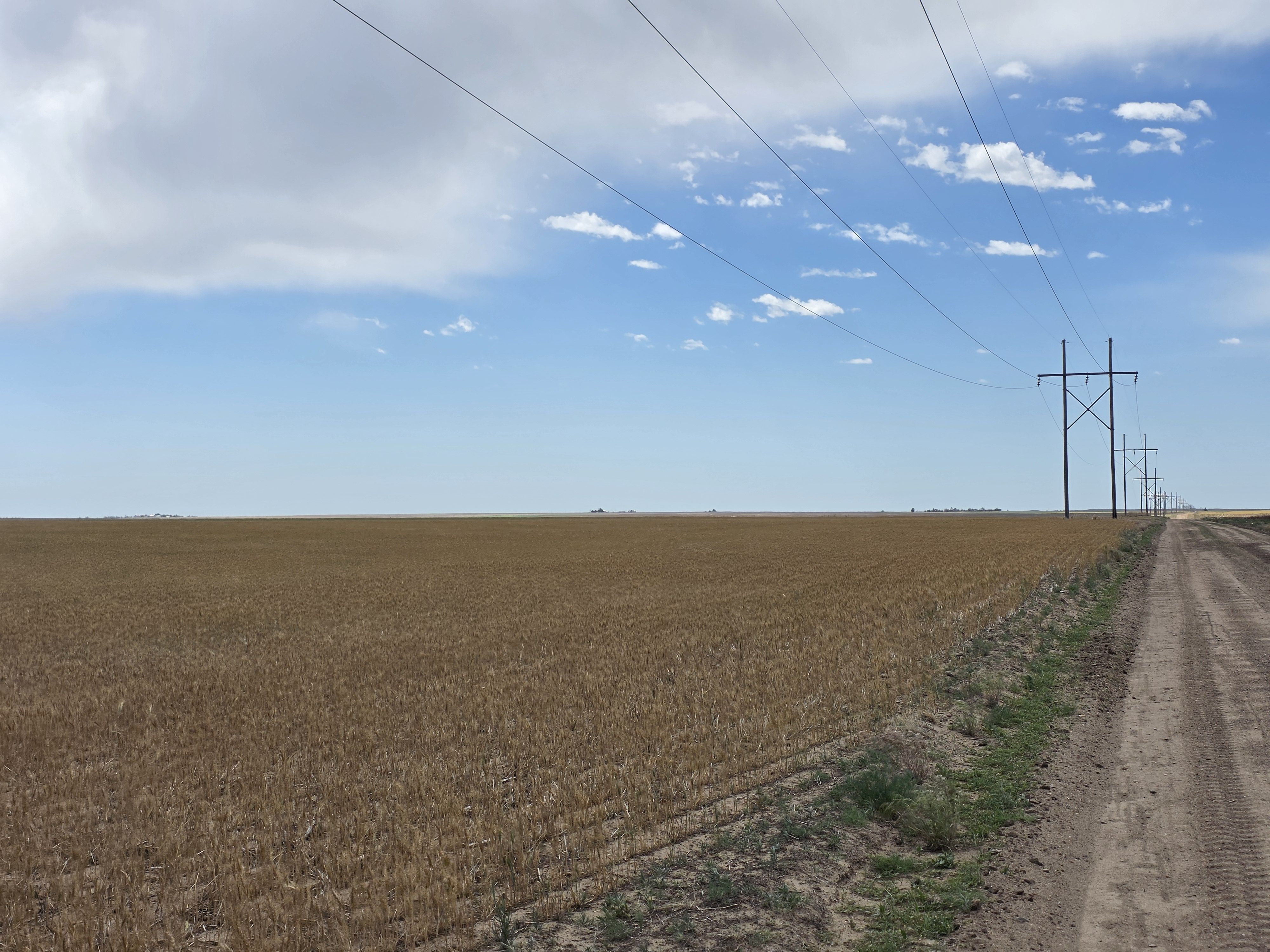
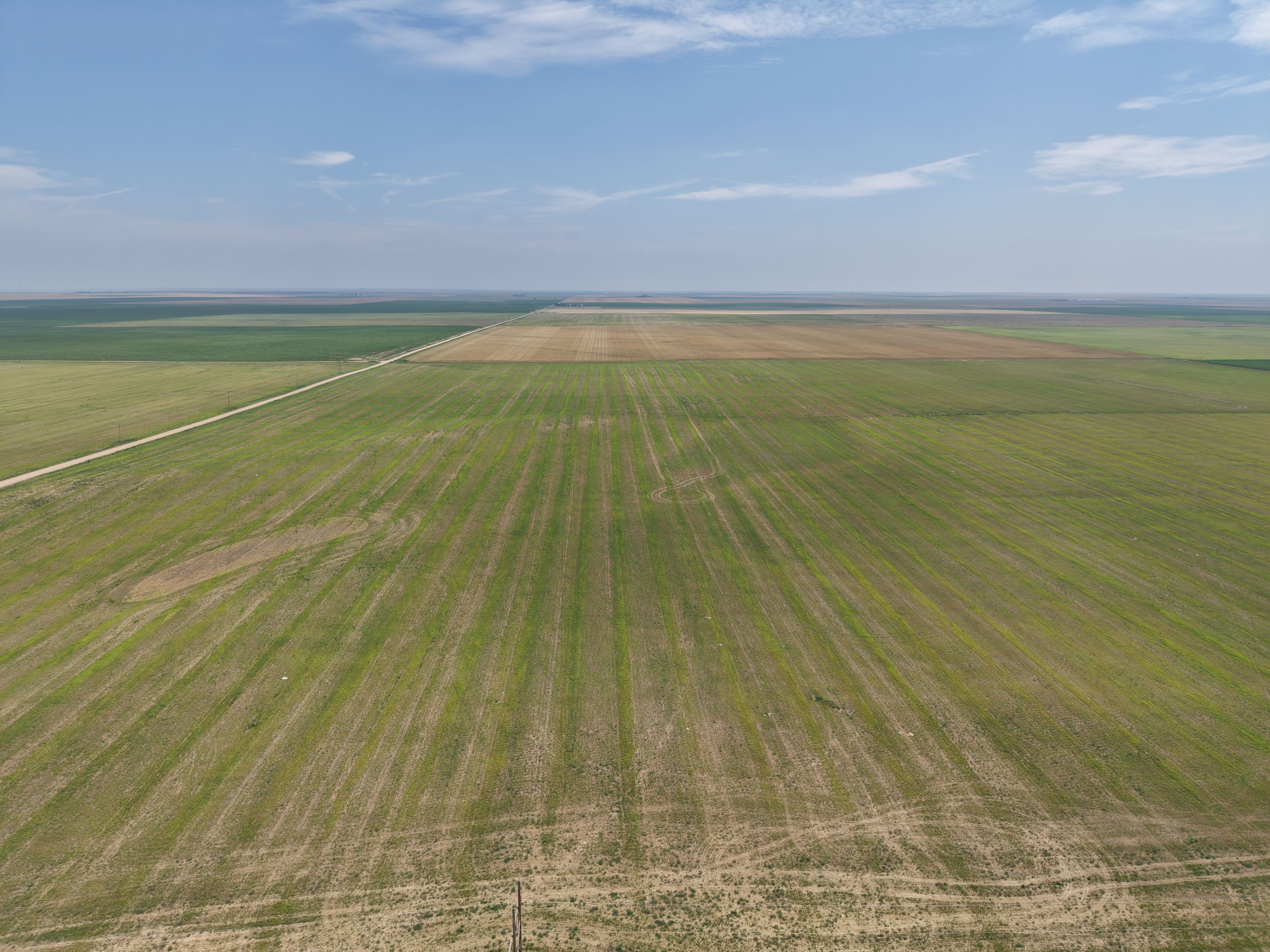
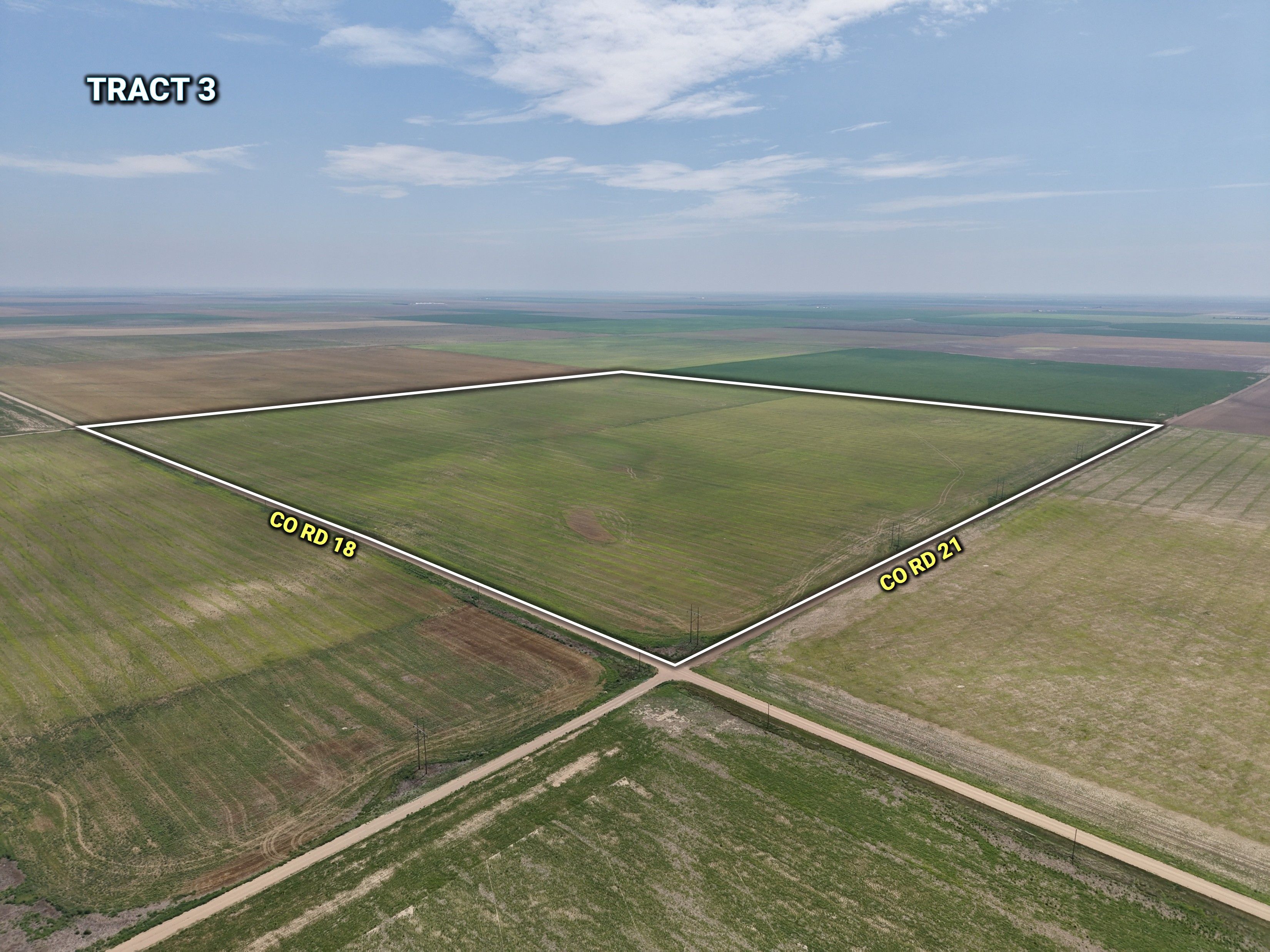
Tract 3 comprises 162.3± assessed acres with 161± tillable acres. This tract is conveniently accessed from County Road 18 and County Road 21 and has historically been utilized in a corn, wheat, and sorghum rotation. The farm is currently in wheat stubble and has been recently sprayed following harvest for weed control. The tenant is relinquishing possession, providing buyers the opportunity to have possession upon closing.

Whether you are looking to expand an existing operation, secure quality dryland acreage, or make a long-term agricultural investment, this property presents a rare opportunity to acquire productive cropland in northeastern Colorado.

Additional adjacent land is available. See Peoples Company Listings: Tract 1 #19584 (328± acres) and Tract 2: #19646 (158± acres).

Legal Description

NW1/4 Section 11 in T10N-R46W in Sedgwick County, Colorado. 
Exact legal description to be taken from the title commitment. 

Directions

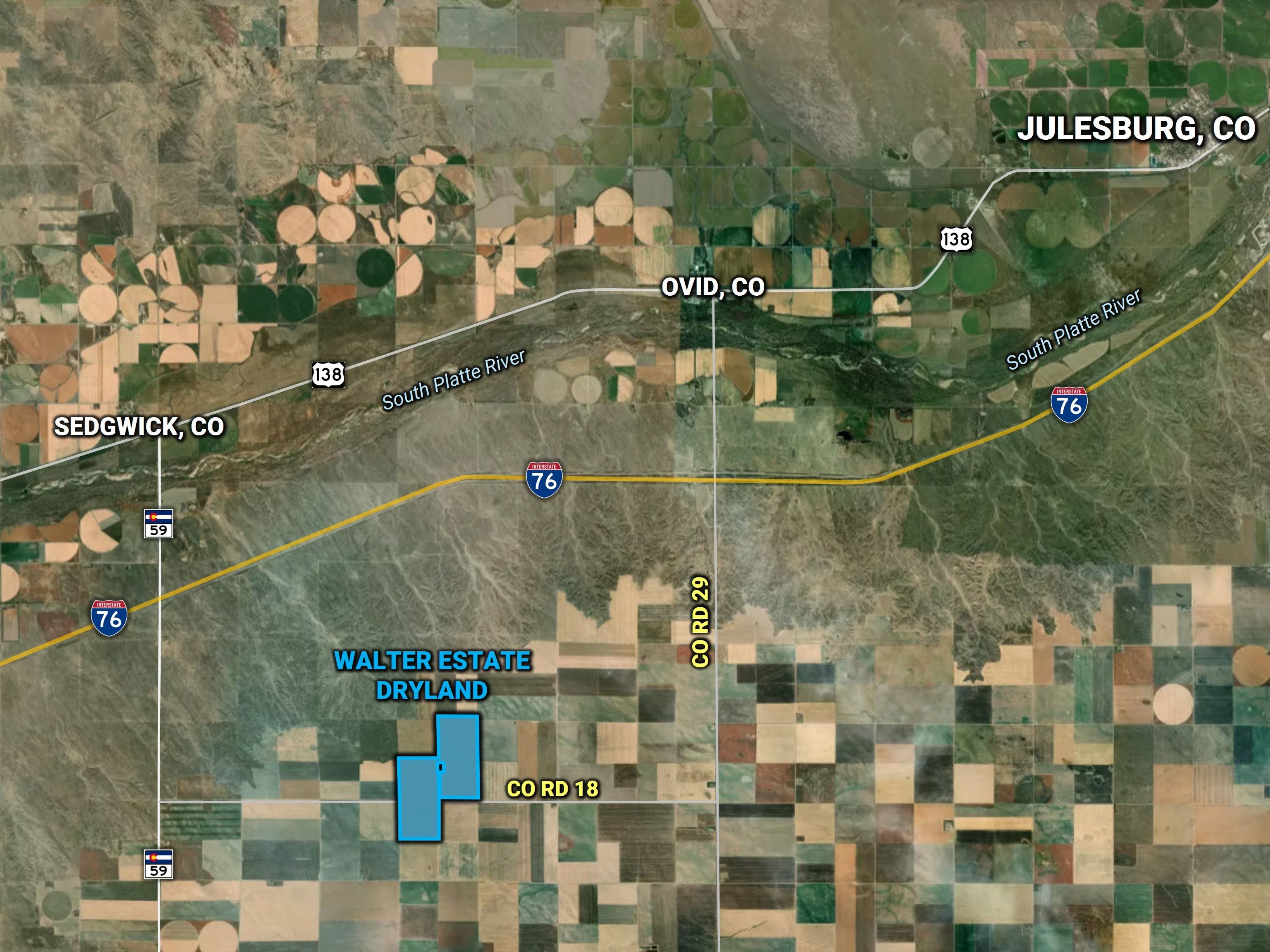
From Sedgwick: Take CO Highway 59 south for 5± miles to County Road 18; left (east) on Co Rd 18 for 3± miles to the property. 

Reserved Items

Seller to reserve all mineral rights.
  • Parcel Number: 81011020
  • School District: Platte Valley School District (Ovid)
  • Net Taxes: $495.96
  • NCCPI: 40.5
  • Zoning: Ag


Interactive Map

Use the Interactive Map to explore the property's regional location. Zoom in and out to see the property's surroundings and toggle various mapping layers on and off in the Map Layer Menu.


Photos
Listing Photo: T3 Listing Image Listing Photo: 20260610_102453 Listing Photo: DJI_20260723123836_0471_D Listing Photo: 2026-06-10 09.53.20 Listing Photo: DJI_20260723123408_0452_D Listing Photo: DJI_20260723123437_0454_D Listing Photo: Aerial-3 tracts Listing Photo: GF - edits