Ringgold County, IA
2.31 Acres M/L

Iowa Highway 2
Kellerton, IA 50133

Price $49,000
Listing #16976

LAND AGENT

Doug Bear, ALC

Office: 515.222.1347
Mobile: 515.745.3192
Doug.Bear@PeoplesCompany.com

Property Info

Description

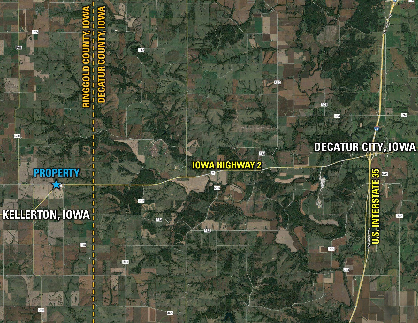
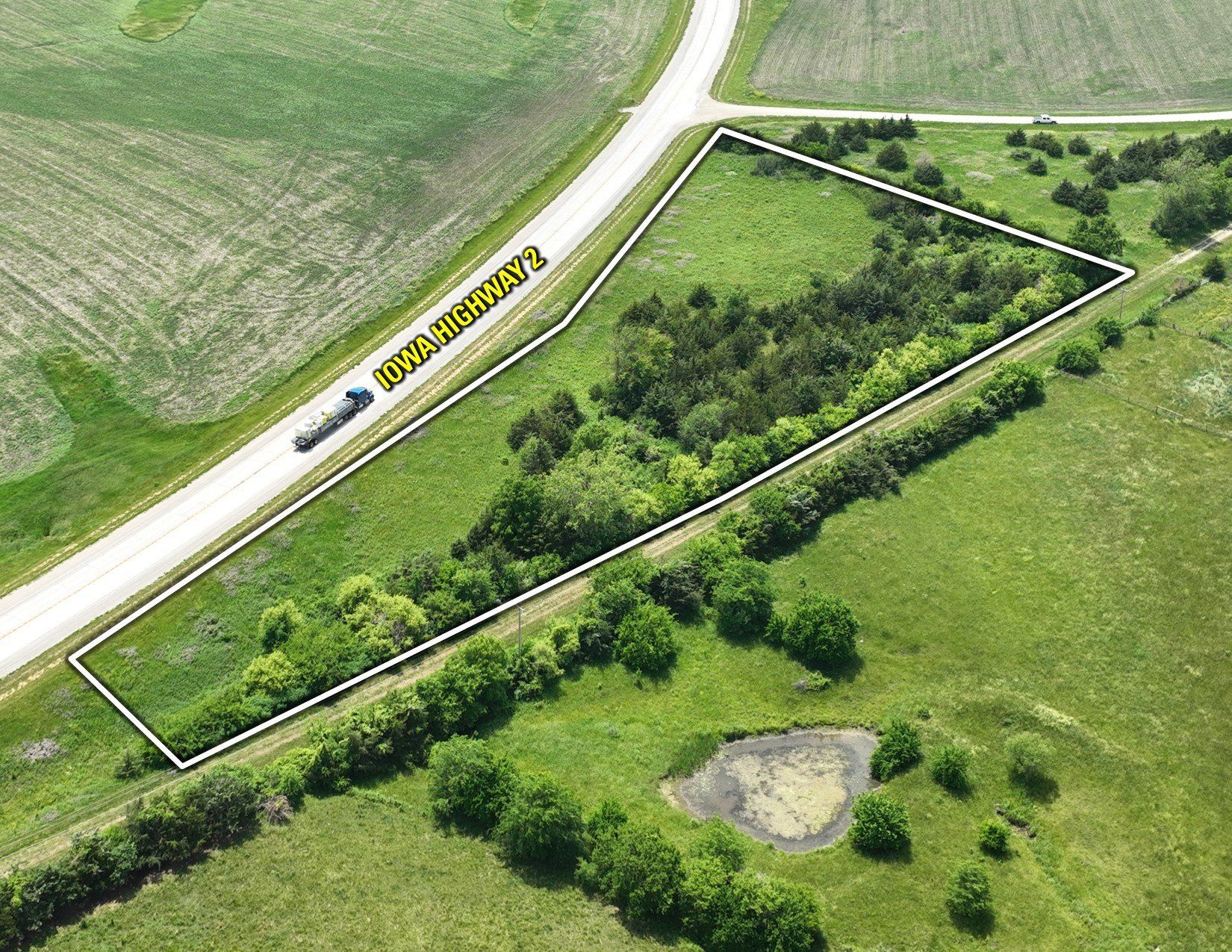
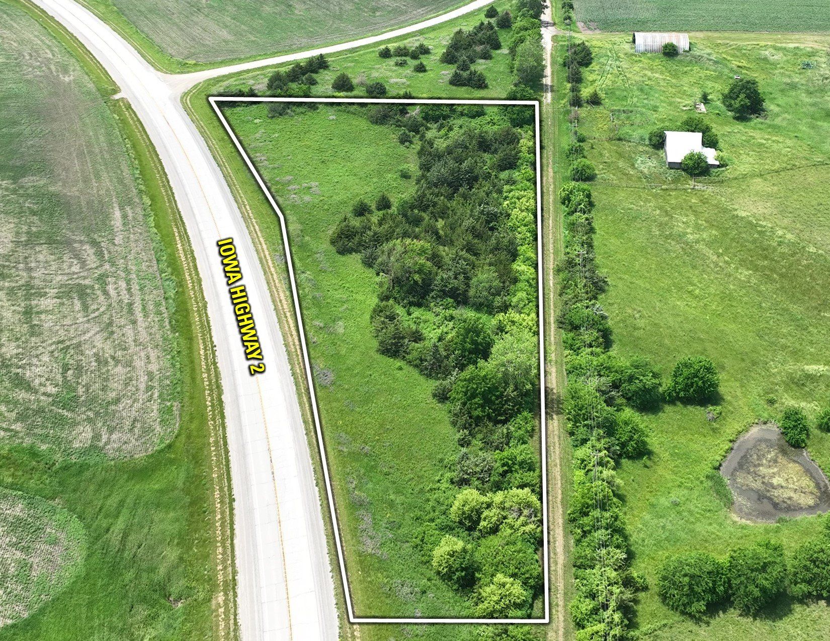
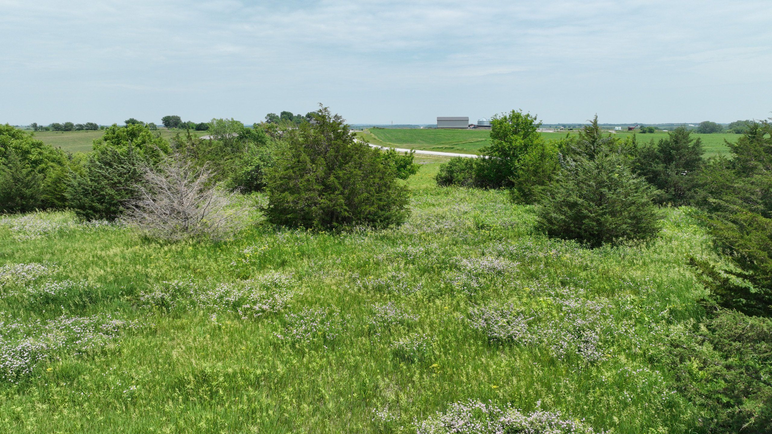
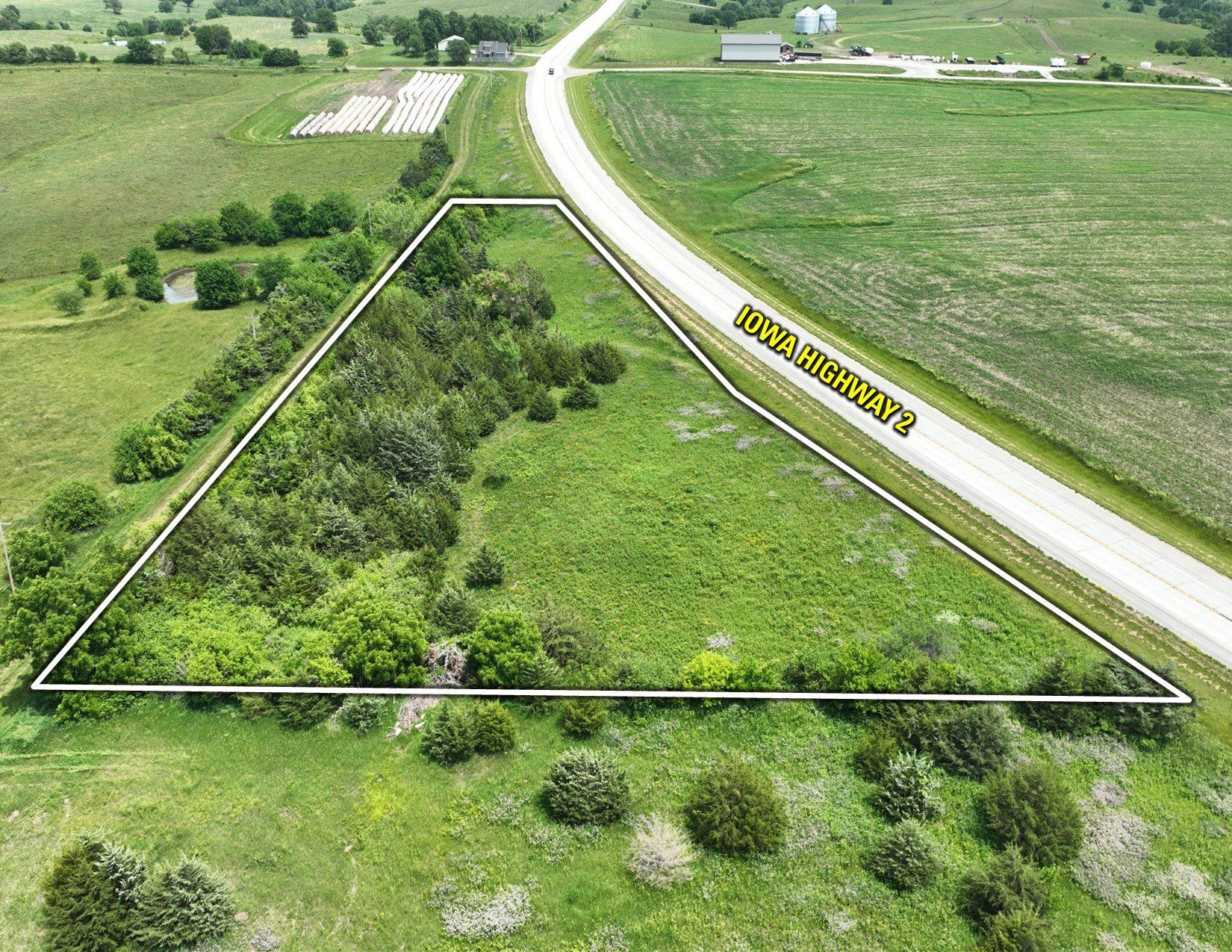
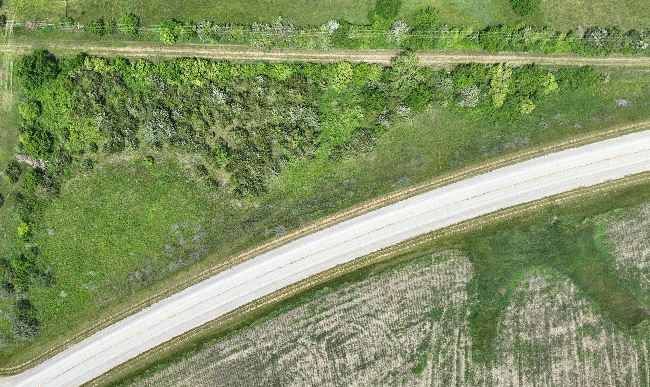
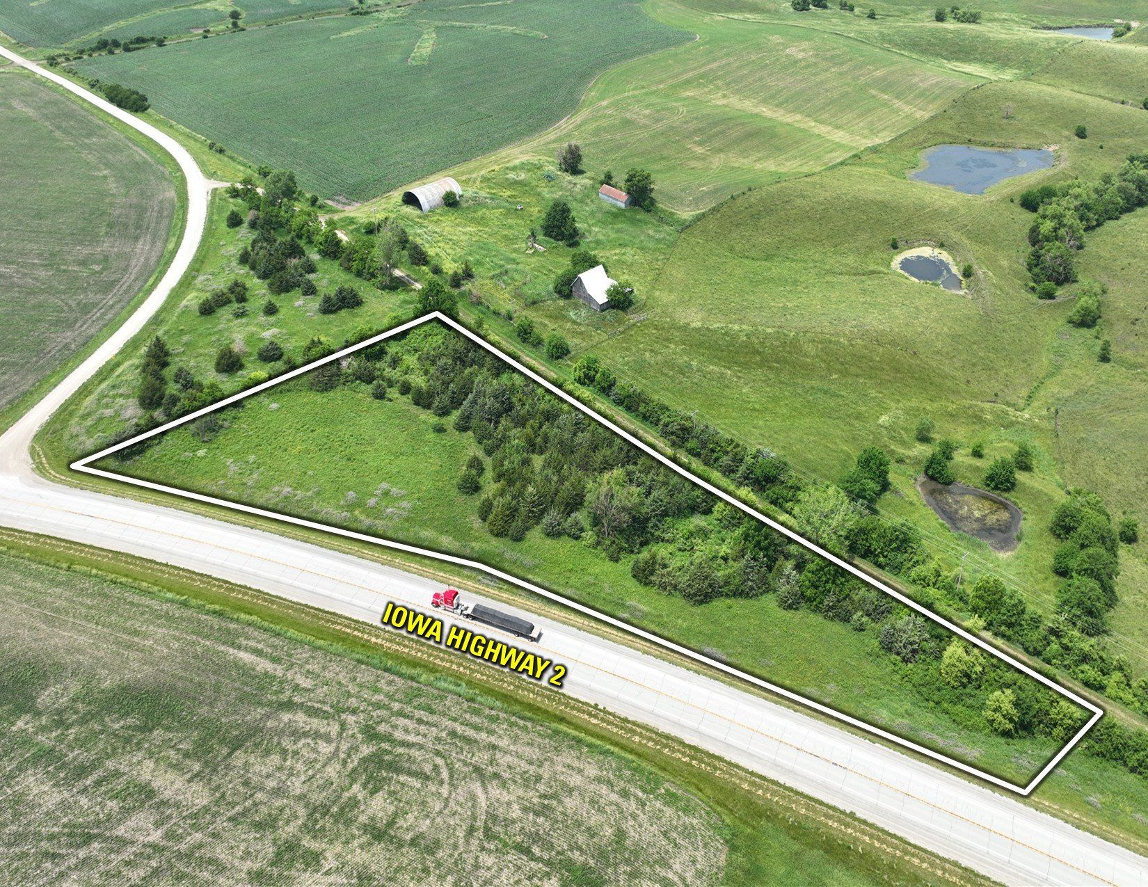
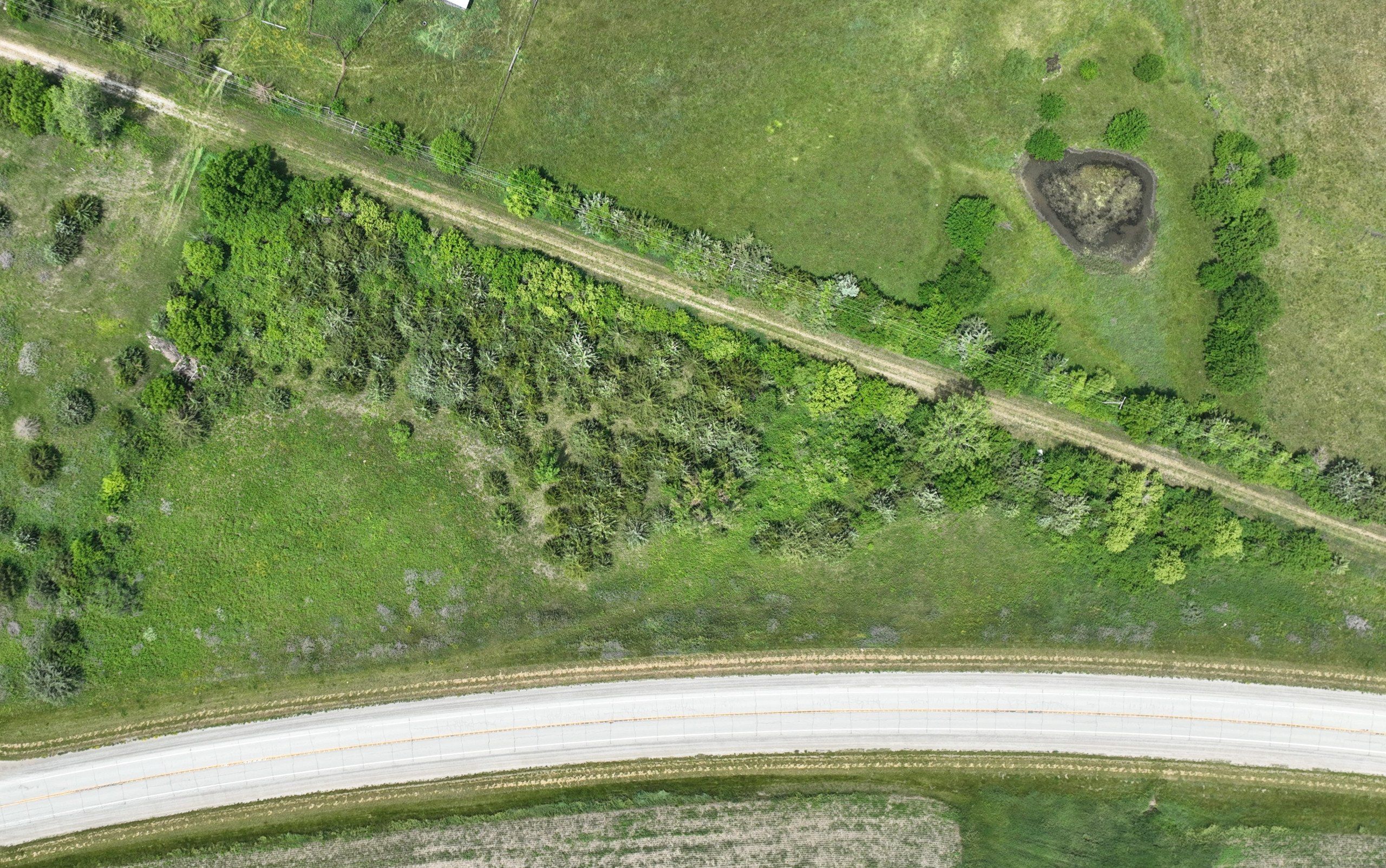
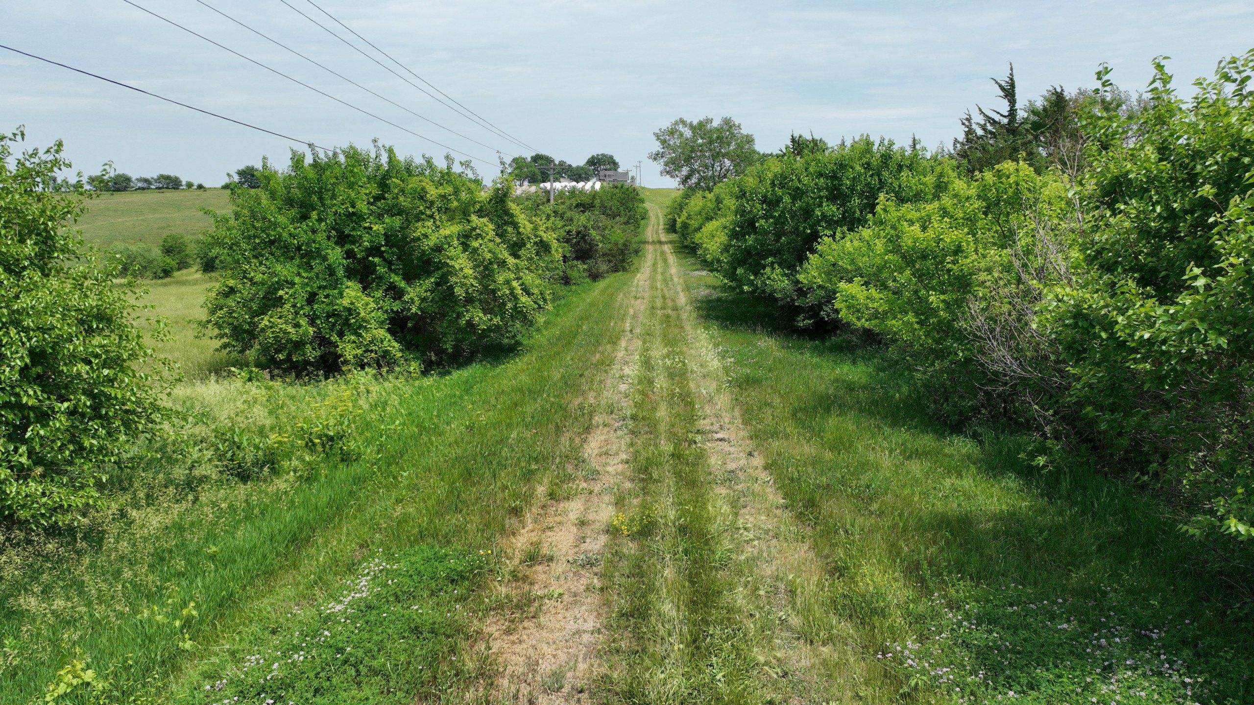
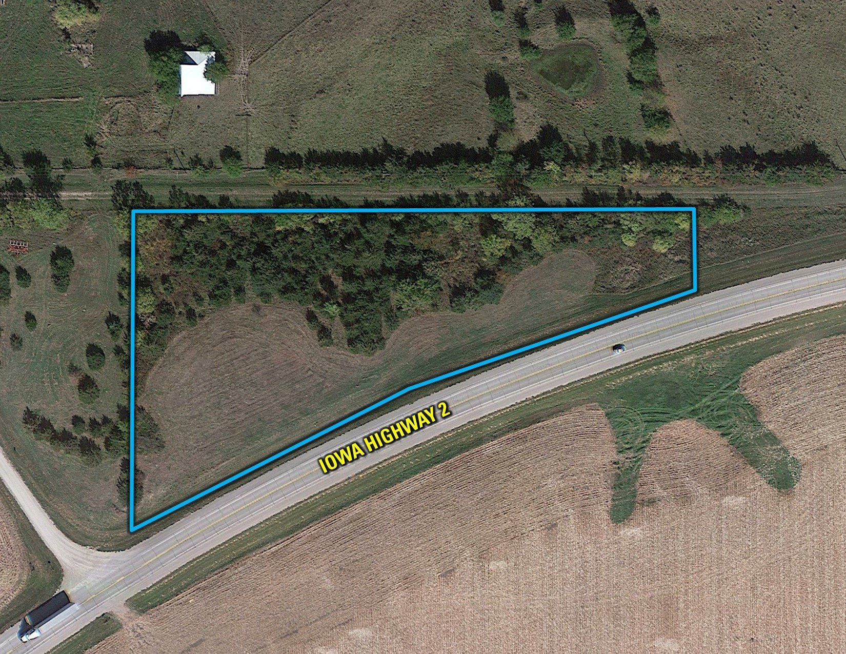
Peoples Company is pleased to present a premier 2.31 surveyed acre building site located ten miles directly west of Interstate 35 at Decatur City, Iowa. Situated along the north side of Iowa Highway 2 and approximately one-mile northeast of Kellerton, Iowa, this unique property offers a great location for any in-state or out-of-state hunters wanting to set down roots in southern Iowa. The gently rolling topography of this Ringgold County, Iowa property provides natural drainage combined with a heavily wooded windbreak along the northern edge of the property fostering a great year-round environment for an exceptional building site location.

Improvements to this tract include available rural water service through Southern Iowa Rural Water District and electric service through Alliant Energy. Southern Iowa Rural Water has a 4" water line running along the north side of the property allowing for optimal water and quick hookup (See attached Utility Map). There is an approved Iowa Department of Transportation access permit for a new driveway entrance into the property immediately off Iowa Highway 2. Please contact the Listing Agent for additional details.

Located within Zone 4 of Iowa's Nonresident Deer Hunting Zones, this area is known for Boone and Crockett trophy whitetails along with prominent rafters of turkey, bouquets of upland game birds, and gaggles of geese. This property is located within a short distance of other prominent outdoor recreational areas for prime hunting, fishing, or birdwatching opportunities, including, but not limited to:

  • 2 miles from Kellerton Bird Conservation Area (2,034 acres)

  • 9 miles from Sand Creek Wildlife Area (3,751 acres)

  • 10 miles from Ringgold Wildlife Area (2,710 acres)

  • 12 miles from Dekalb Wildlife Area (2,247 acres)

  • 14 miles from Little River Public Hunting (1,509 acres)

  • 15 miles from Mount Ayr Wildlife Area (1,530 acres)

  • 25 miles from West Lake Wildlife Area (209 acres)

  • 30 miles from Stephens State Forest - Lucas Unit (1,207 acres), Whitebreast Unit (3,663 acres), and Woodburn Unit (2,119 acres)

  • 30 miles from a few of Iowa's premier fishing lakes: Three Mile Wildlife Area (2,675 acres), Twelve Mile Lake (1,481 acres), and Green Valley Lake (1,175 acres).

The property is located within the Northeast Quarter of Section 2 in Athens Township in east-central Ringgold County, Iowa. Take advantage of this rare opportunity to own a building site to build your dream home or pole barn along a paved Iowa Highway 2 in the heart of southern Iowa’s hunting capital.

Legal Description

A parcel of land located in the Northeast Quarter (NE 1/4) of the Northeast Quarter (NE 1/4), containing 2.31 acres, more or less, in Section Two (2), Township Sixty-eight (68) North, Range Twenty-eight (28) West of the 5th P.M. in Ringgold County, Iowa. Exact legal description to be taken from Abstract.

Directions

From Kellerton, Iowa: Travel northeast out of town for approximately one mile. The property is located on the north side of Iowa Highway 2. Look for the Peoples Company sign.

From Decatur City, Iowa: Travel west from the Interstate 35/Iowa Highway 2 intersection for approximately 10.50 miles. The property is located on the north side of Iowa Highway 2. Look for the Peoples Company sign.

  • Sign On Property: Yes
  • MLS Number: 678771
  • Parcel Number: 3659
  • School District: Mount Ayr Community School District
  • General Area: Northeast of Kellerton, Iowa
  • Gross Taxes: $28.00
  • CSR2: 41.70
  • Water: Southern Iowa Rural Water Association
  • Zoning: Agricultural

Additional Info

*Principals of the selling LLC's hold active real estate licenses in the State of Iowa.


Interactive Map

Use the Interactive Map to explore the property's regional location. Zoom in and out to see the property's surroundings and toggle various mapping layers on and off in the Map Layer Menu.


Video

Click the "play" button below to watch an aerial drone video of this property.


Photos

Listing Photo Listing Photo Listing Photo Listing Photo Listing Photo Listing Photo Listing Photo Listing Photo Listing Photo Listing Photo Listing Photo Listing Photo Listing Photo Listing Photo Listing Photo Listing Photo Listing Photo