39.00 Acres for Sale in Monroe County, IA | Versatile Tillable & Recreational Land Near Albia | Listing #19134
Monroe County, IA
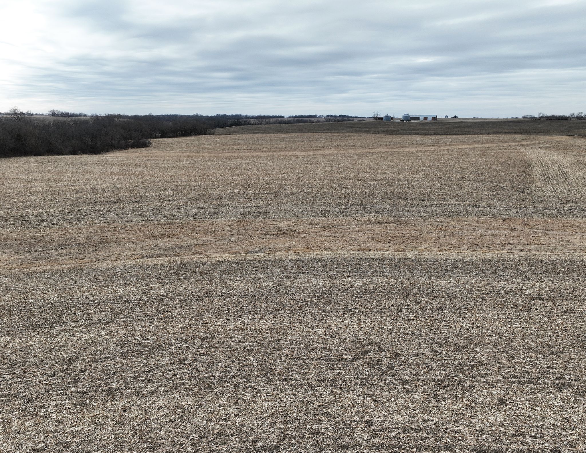
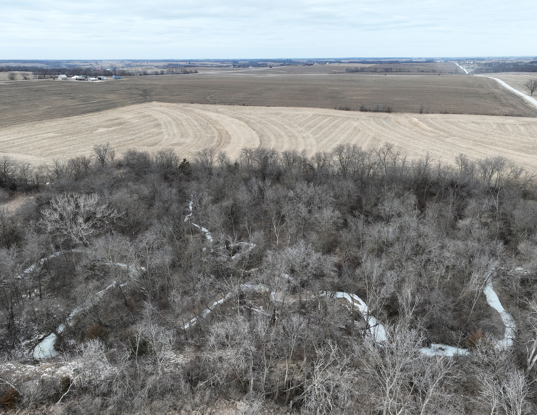
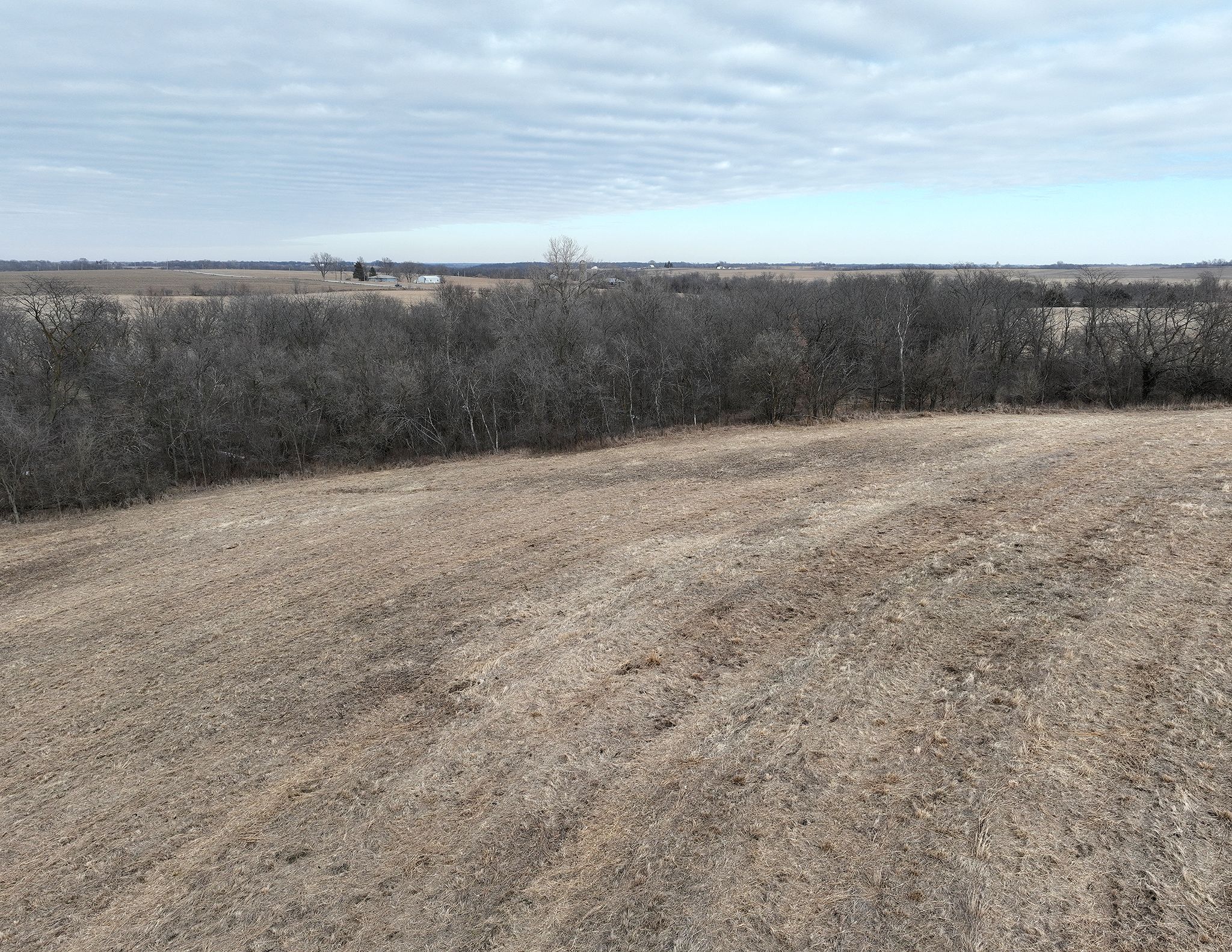
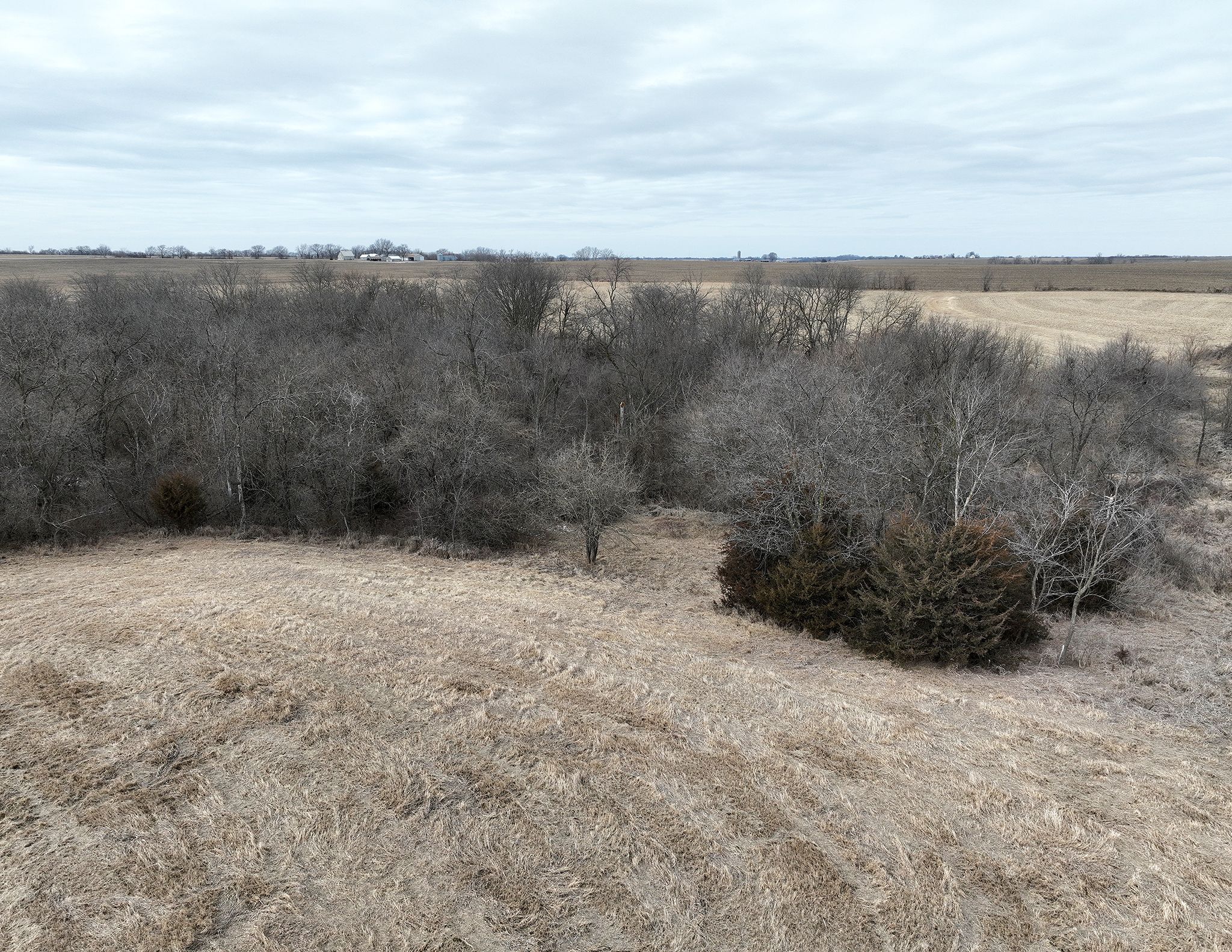
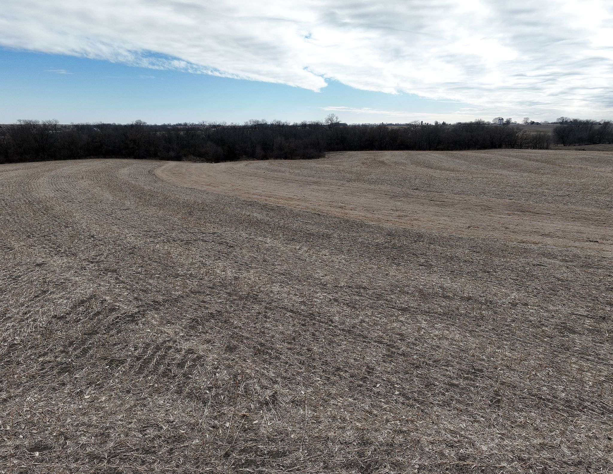
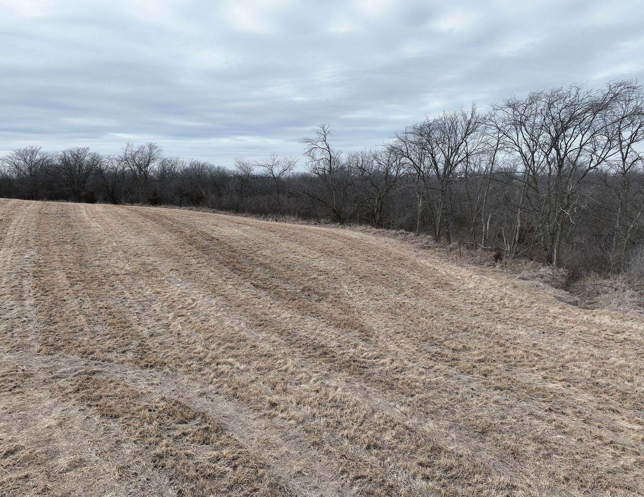
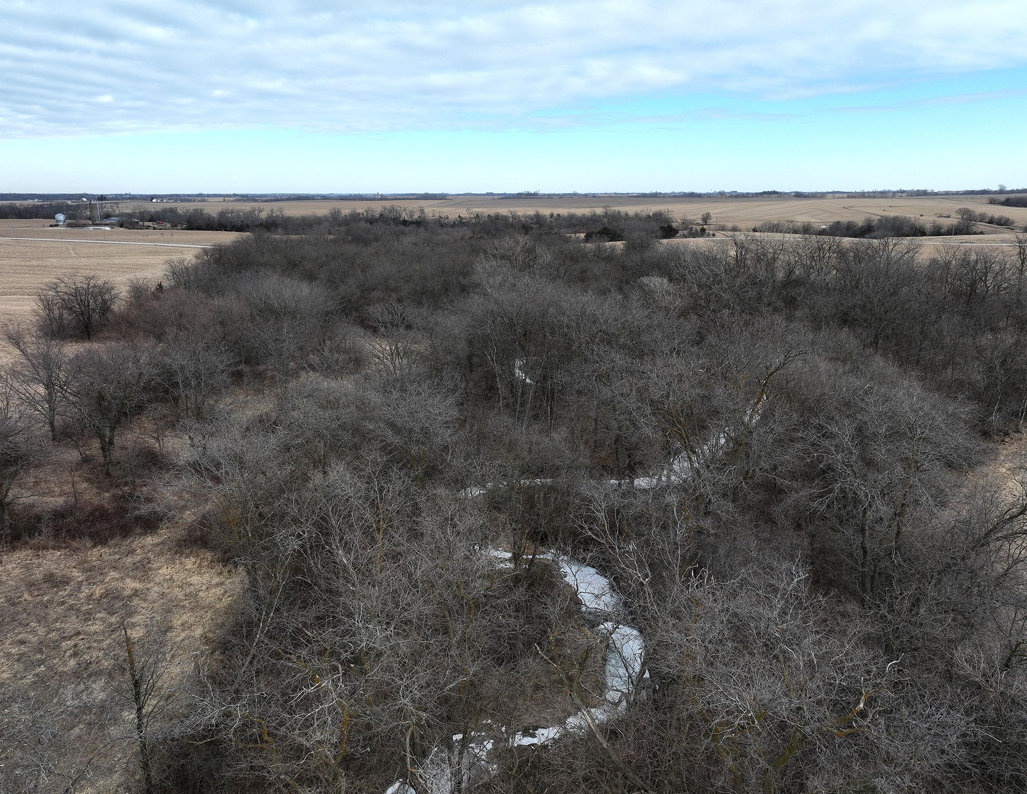
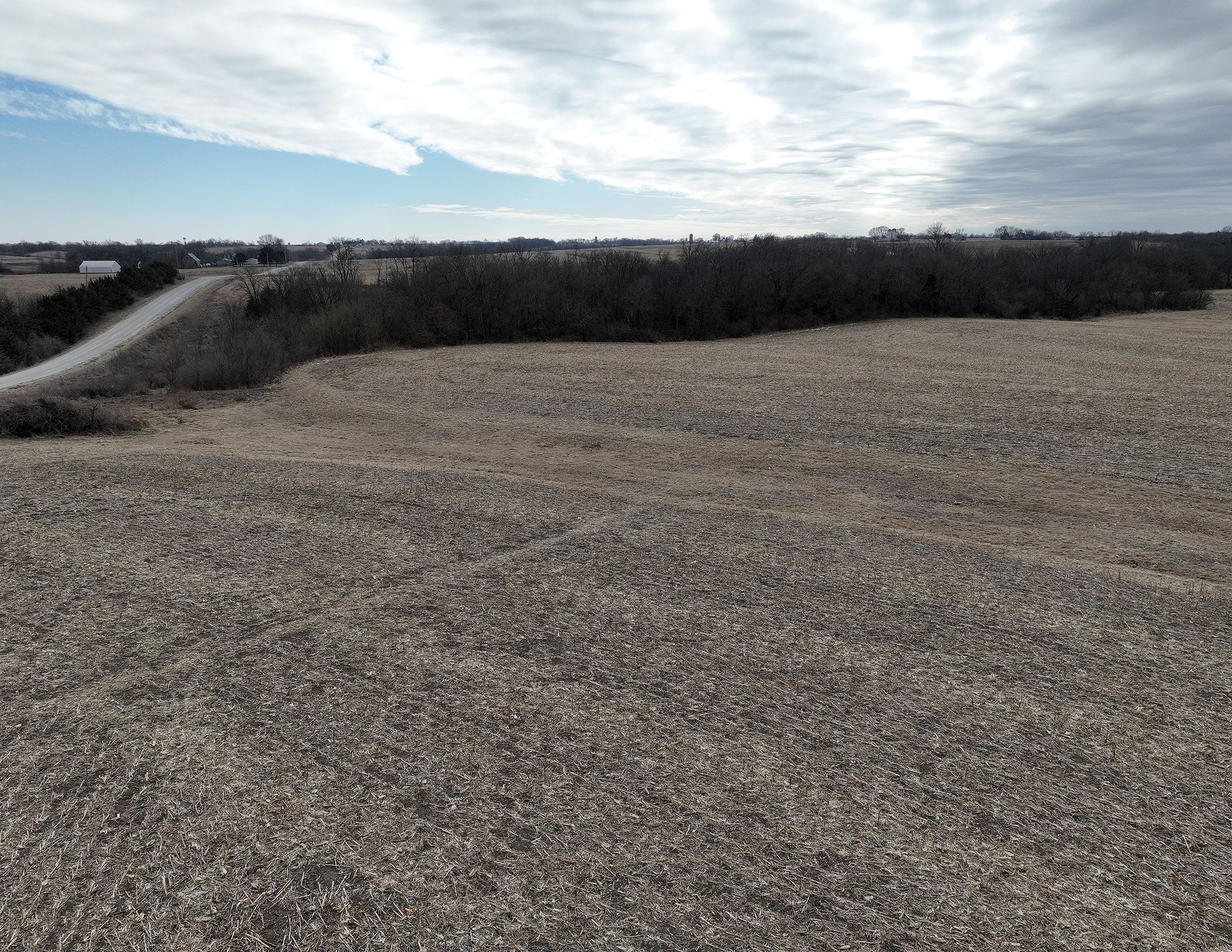
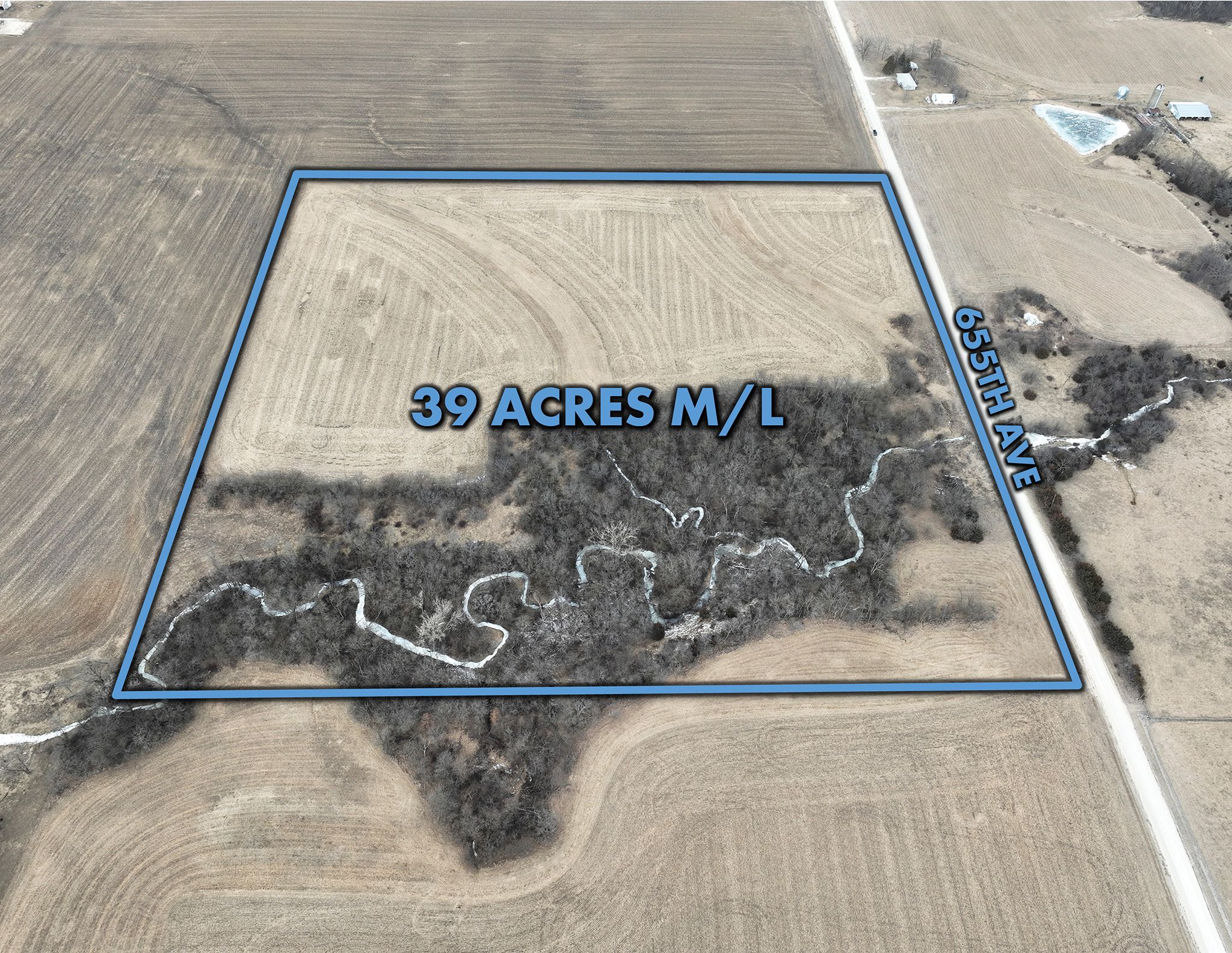
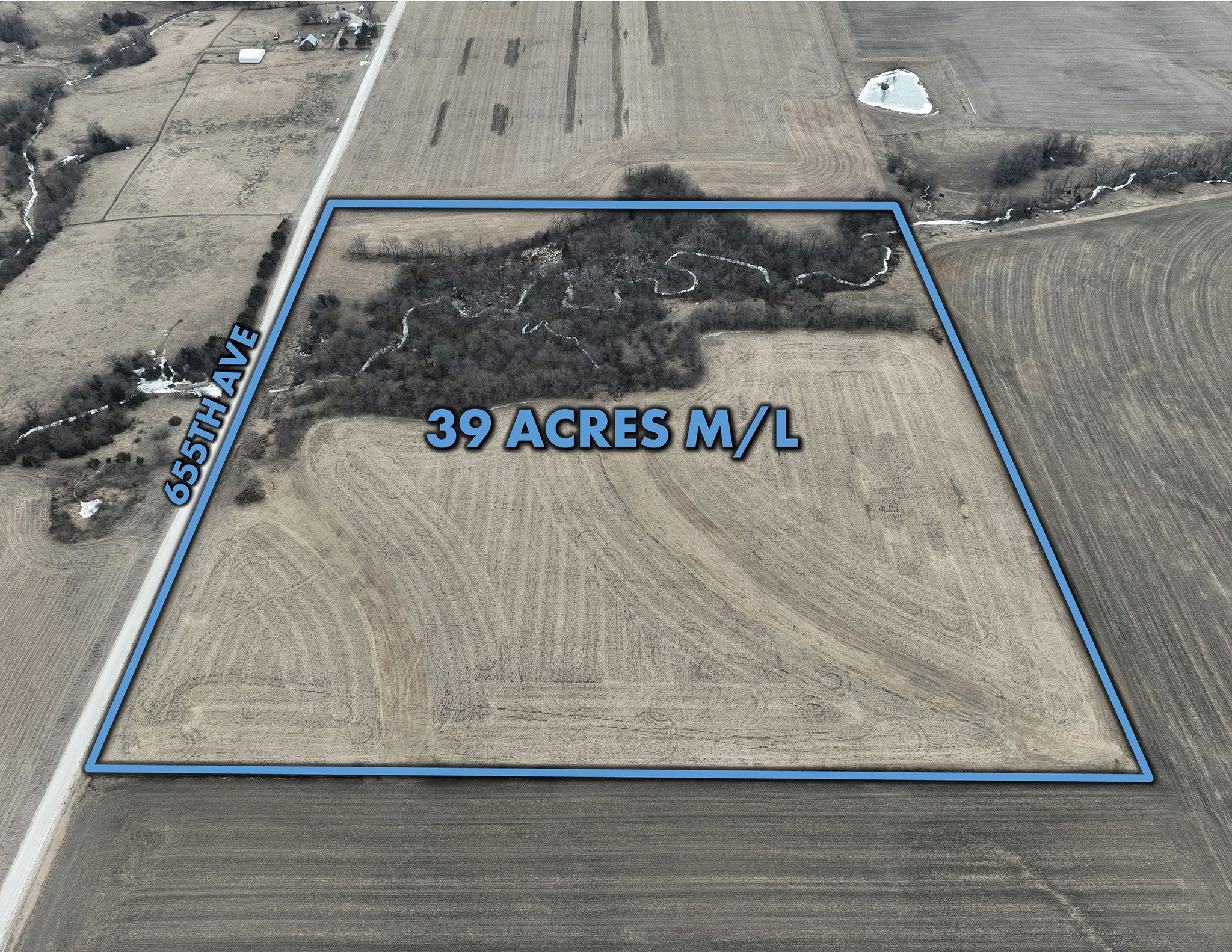
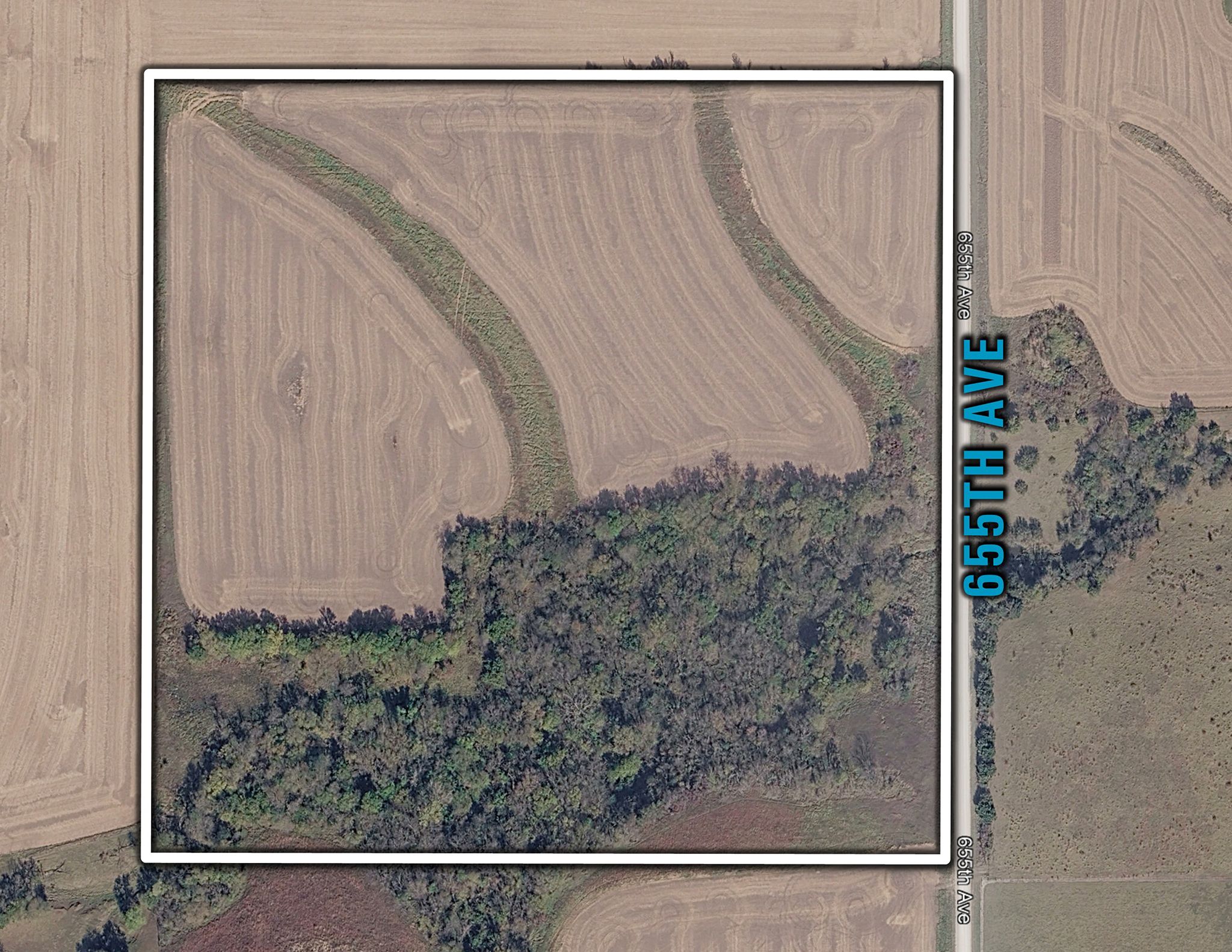
39.00 Acres M/L
39.00 Acres M/L
655th Avenue
Albia, IA 52531
| Price | $470,280 |
| Listing | #19134 |

Land Agent & Auctioneer
Adam Curran
Office: 855.800.LAND
Mobile: 641.203.2931
Adam@PeoplesCompany.com

Property Info
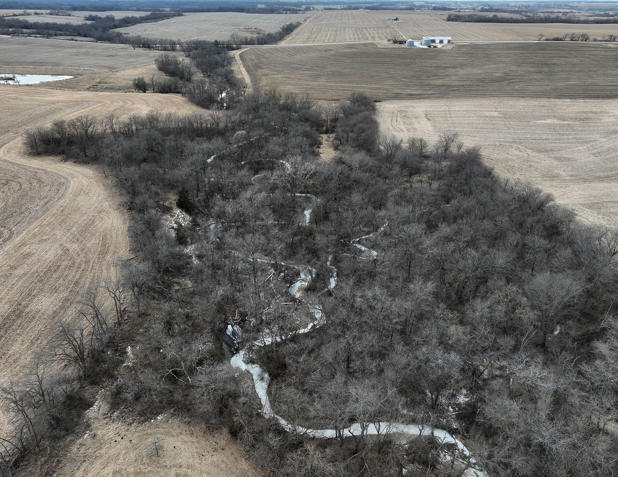
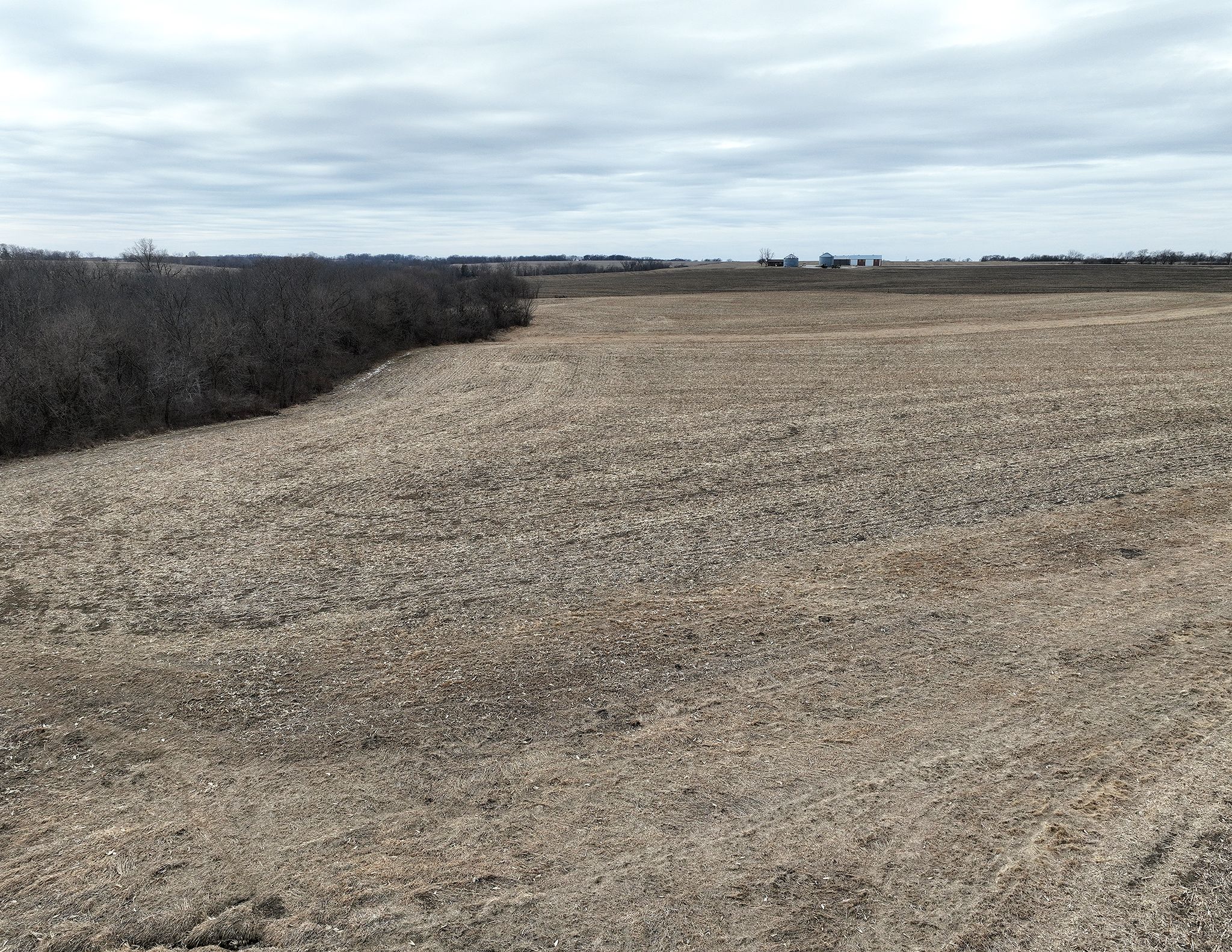
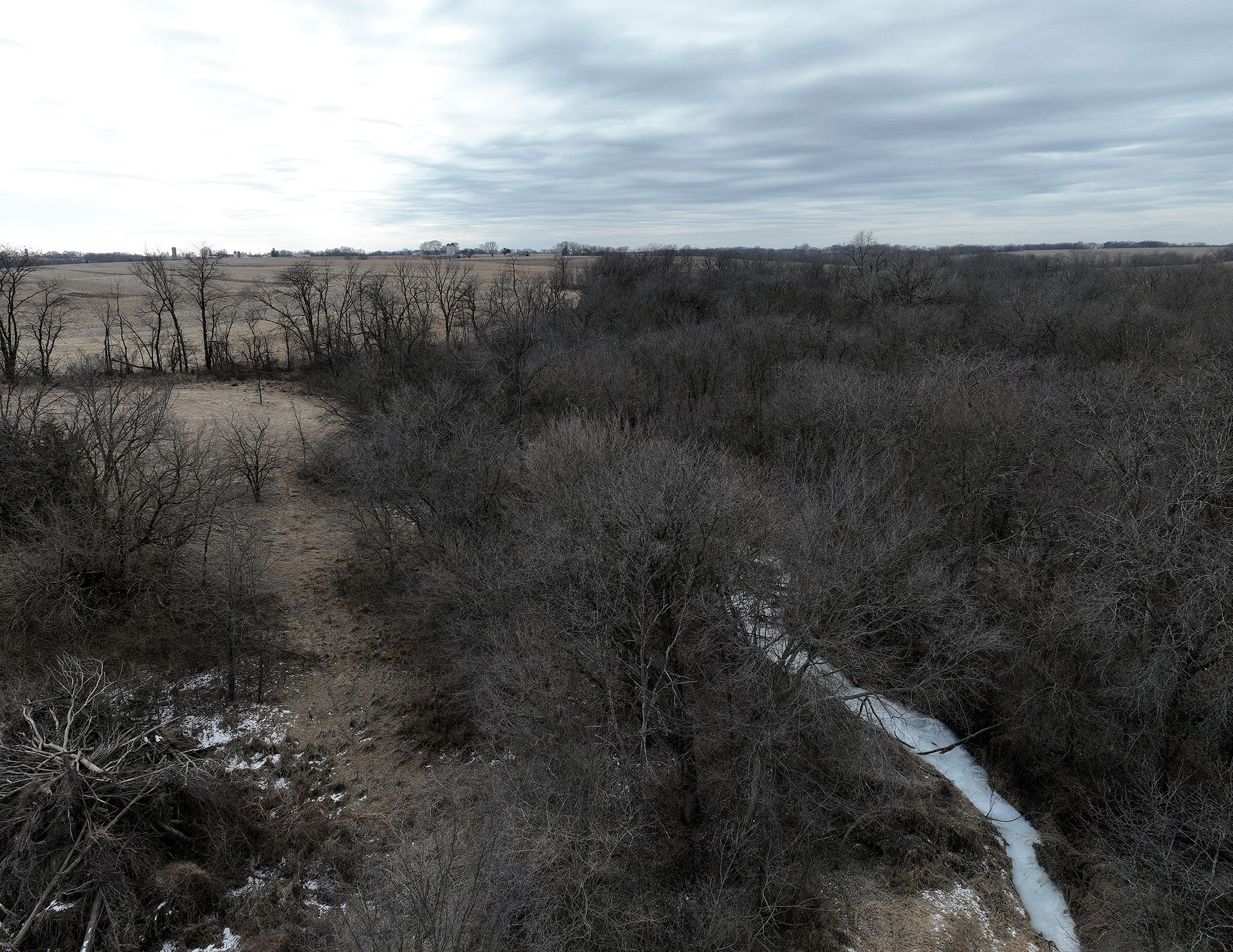
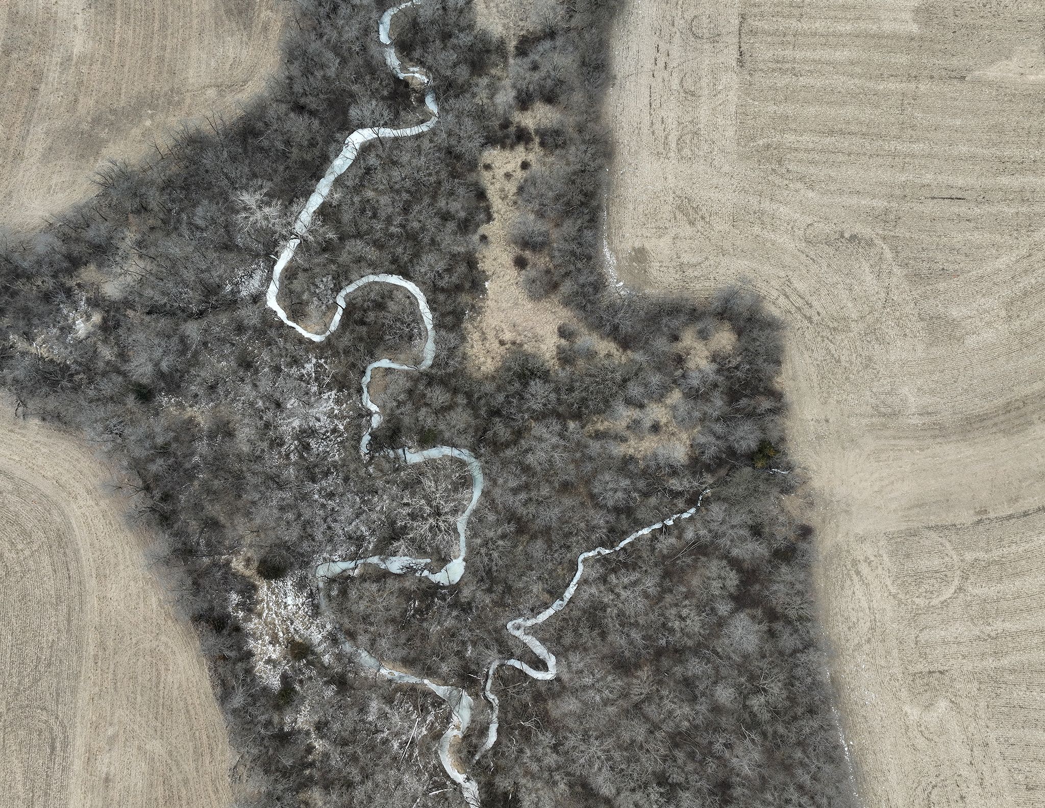
Description
Legal Description
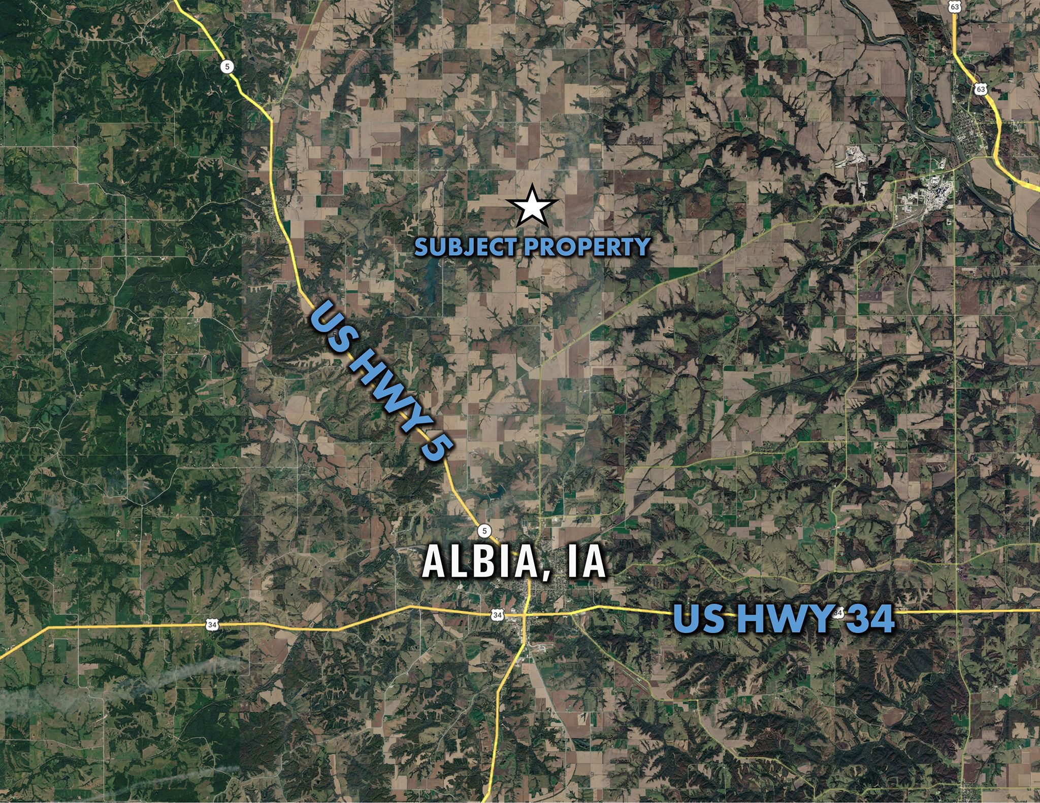
Directions
Improvements
- Sign On Property: Yes
- MLS Number: 734089
- Parcel Number: 030-2-10-016-000-000
- School District: Albia Community School District
- General Area: Bluff Creek Township
- Gross Taxes: $870.00
- CSR2: 83.2
- Zoning: Ag Land
Interactive Map
Use the Interactive Map to explore the property's regional location. Zoom in and out to see the property's surroundings and toggle various mapping layers on and off in the Map Layer Menu.
Photos