Lucas County, IA
Sold
Lucas County, IA
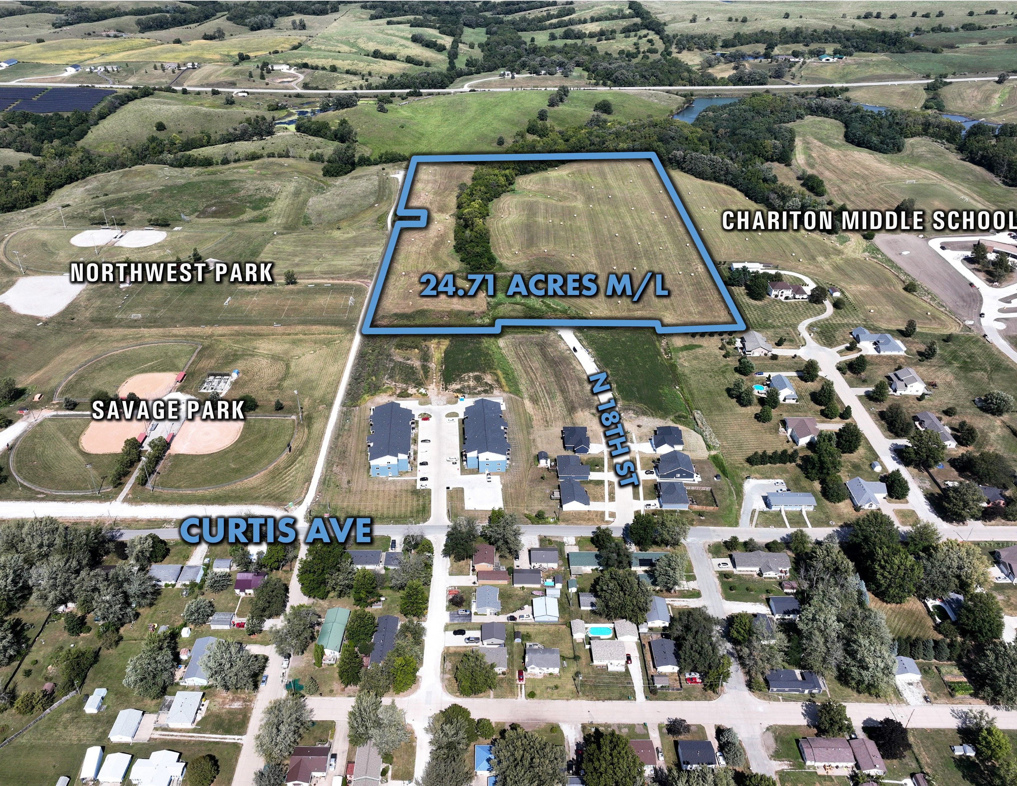
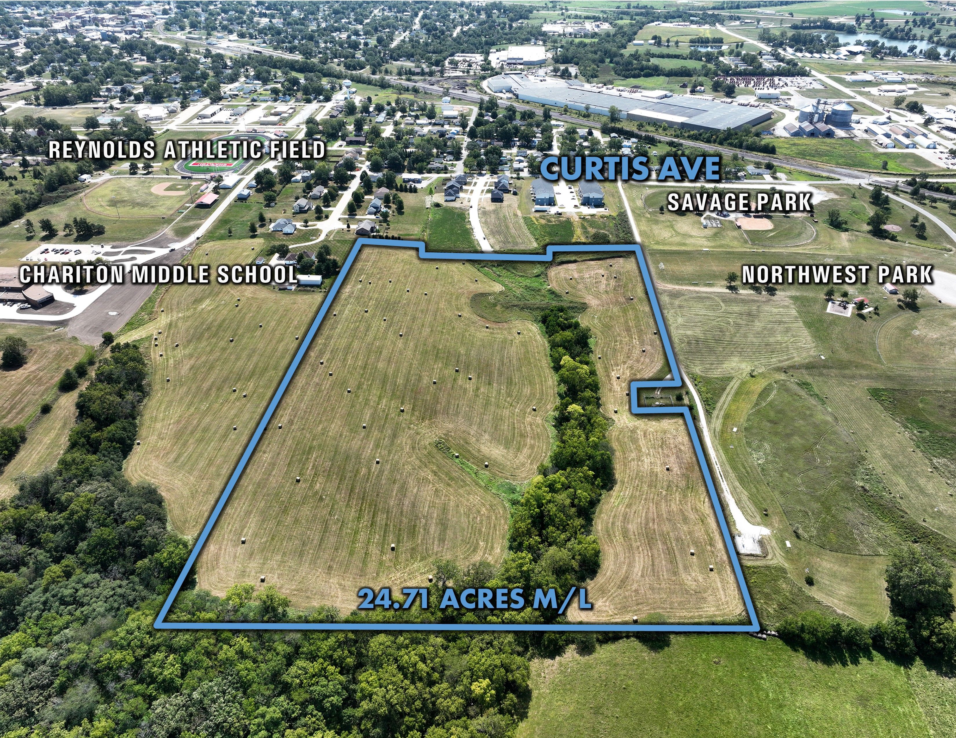
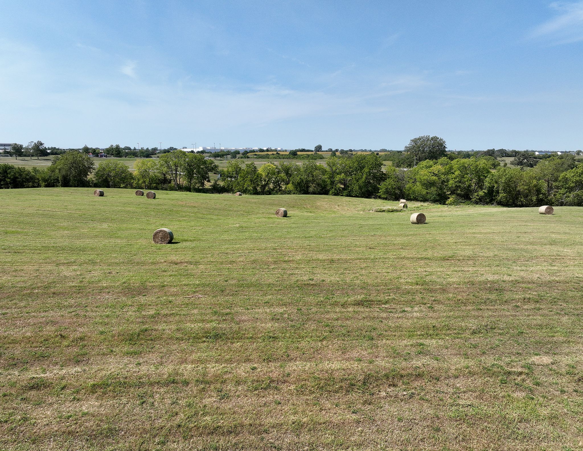
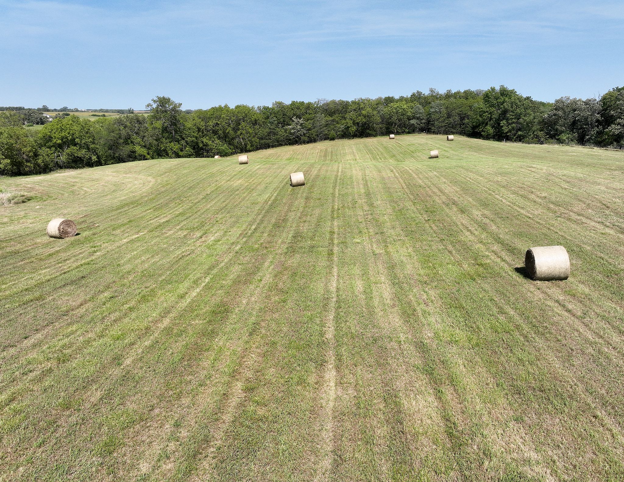
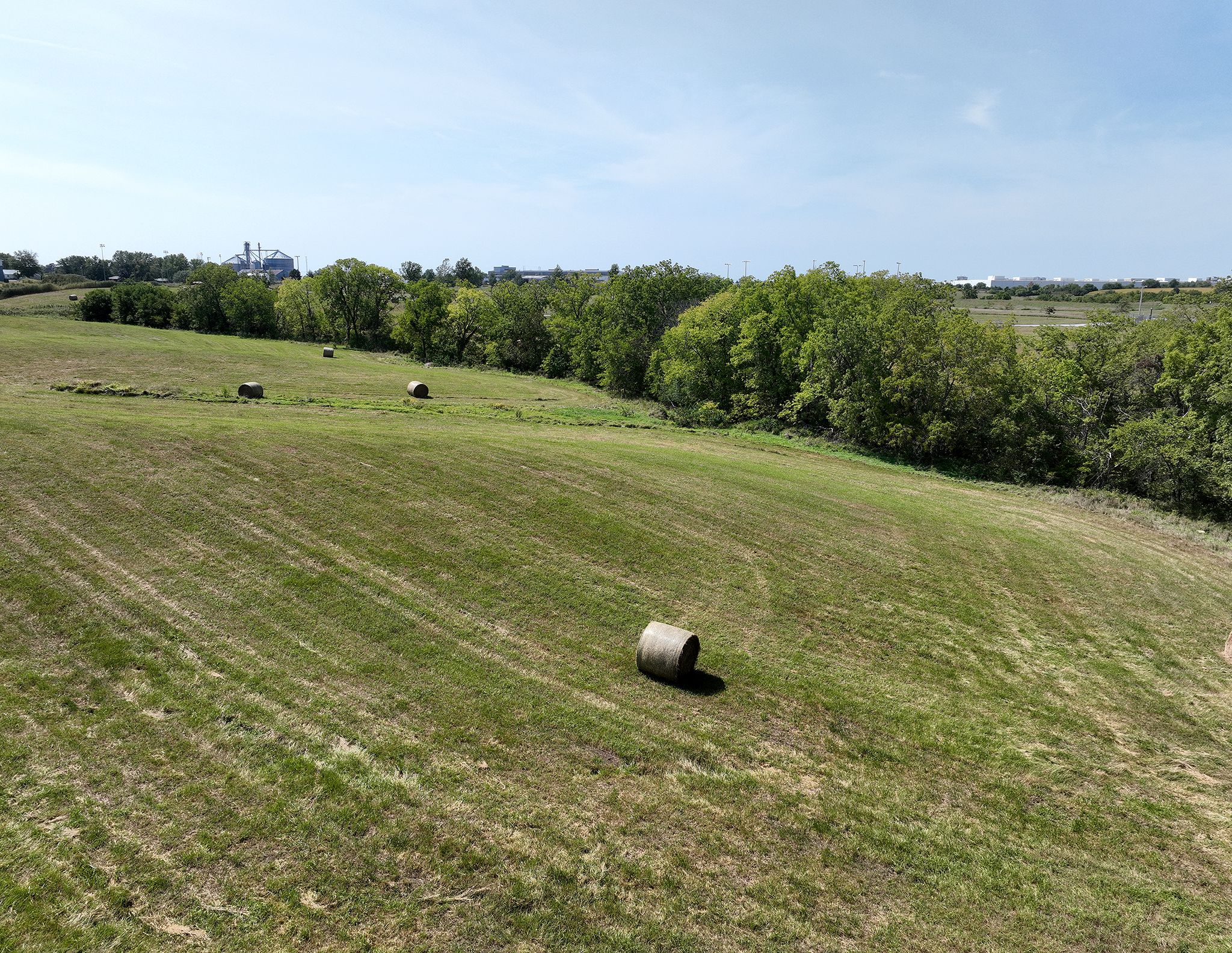
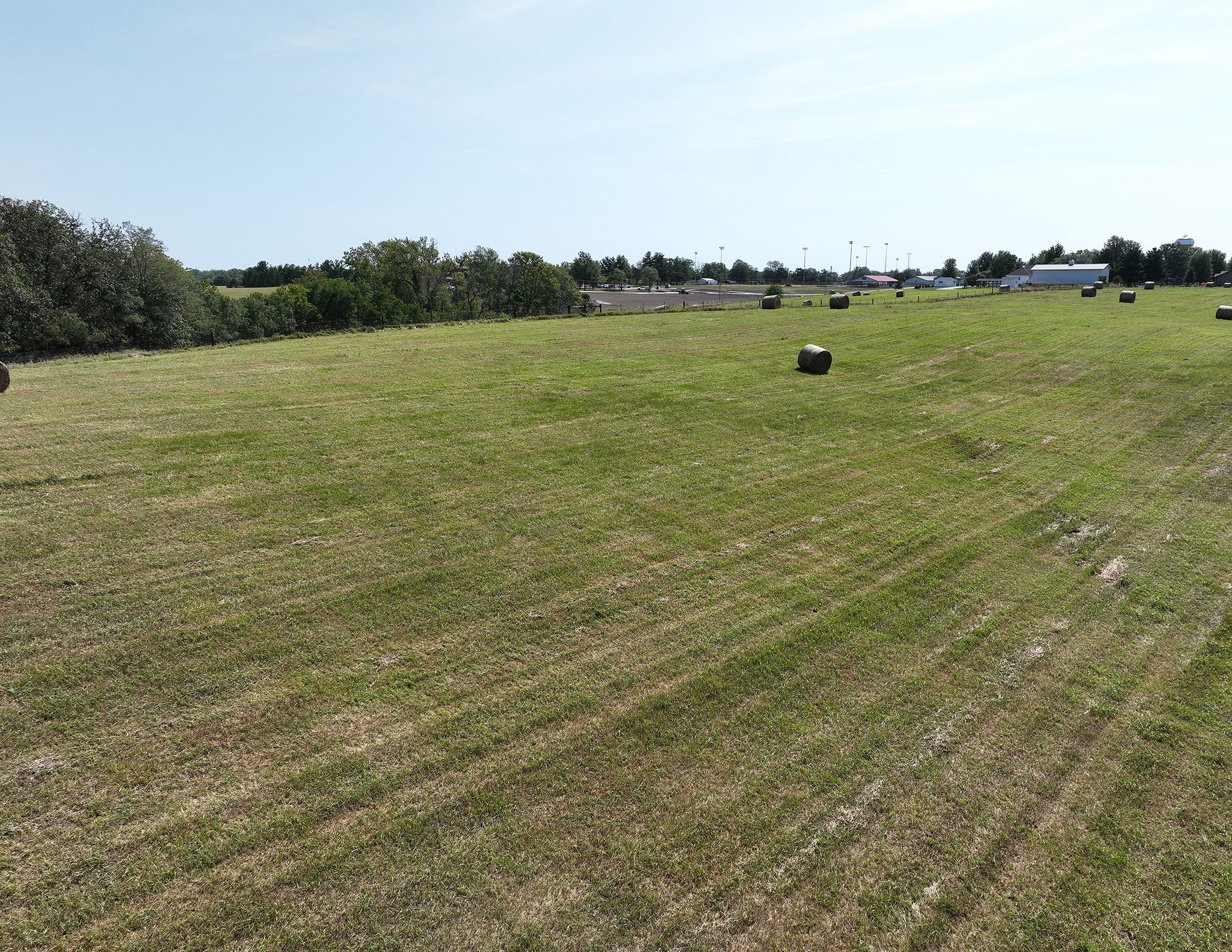
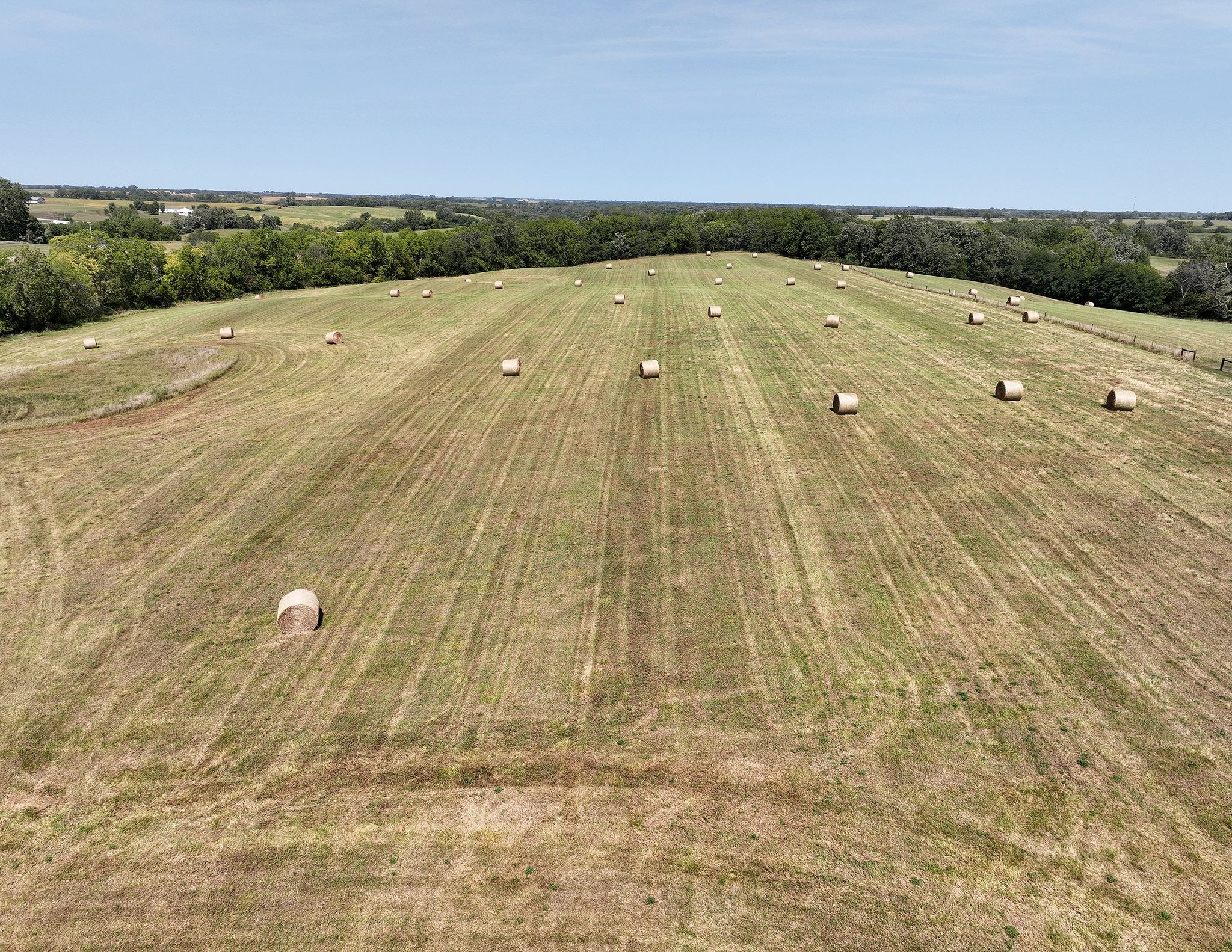
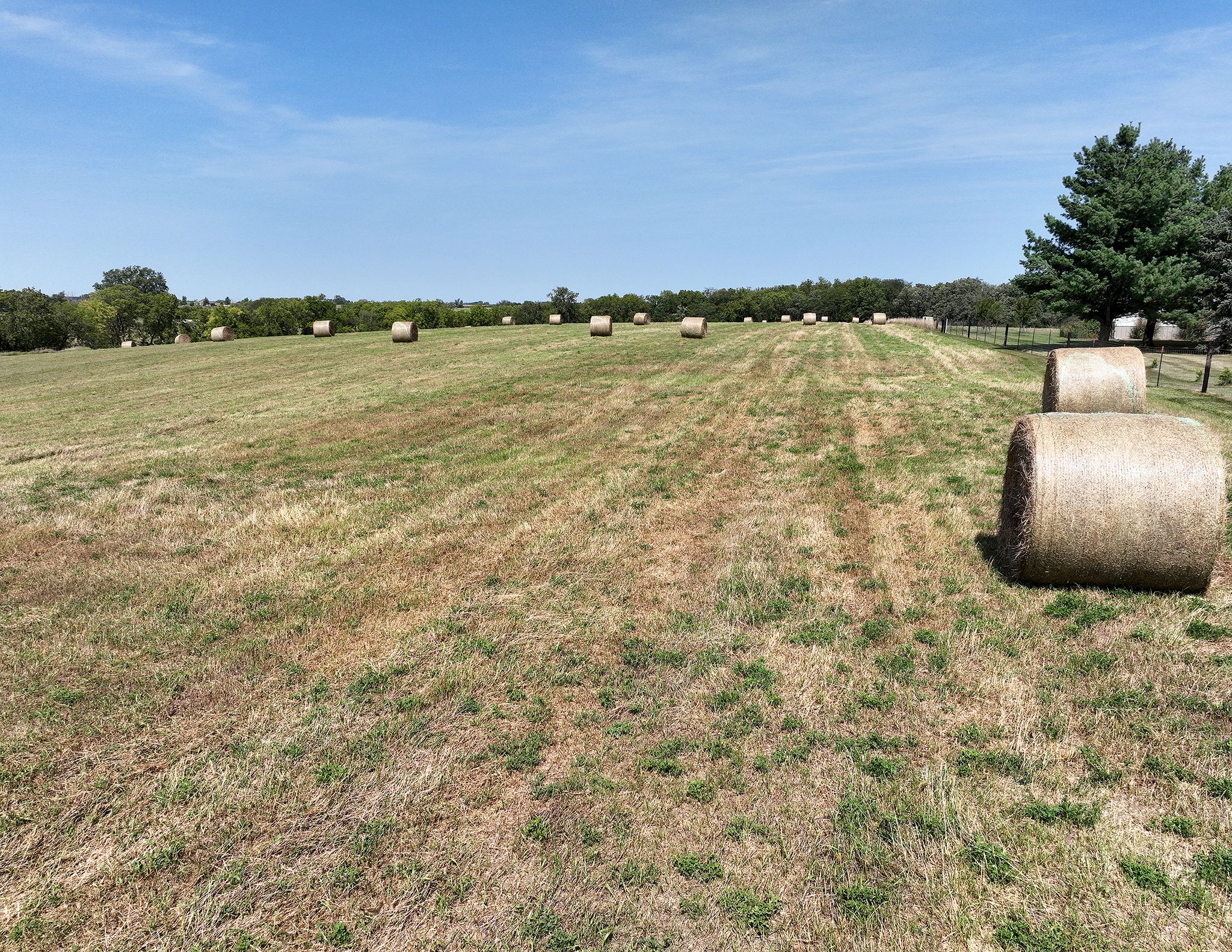
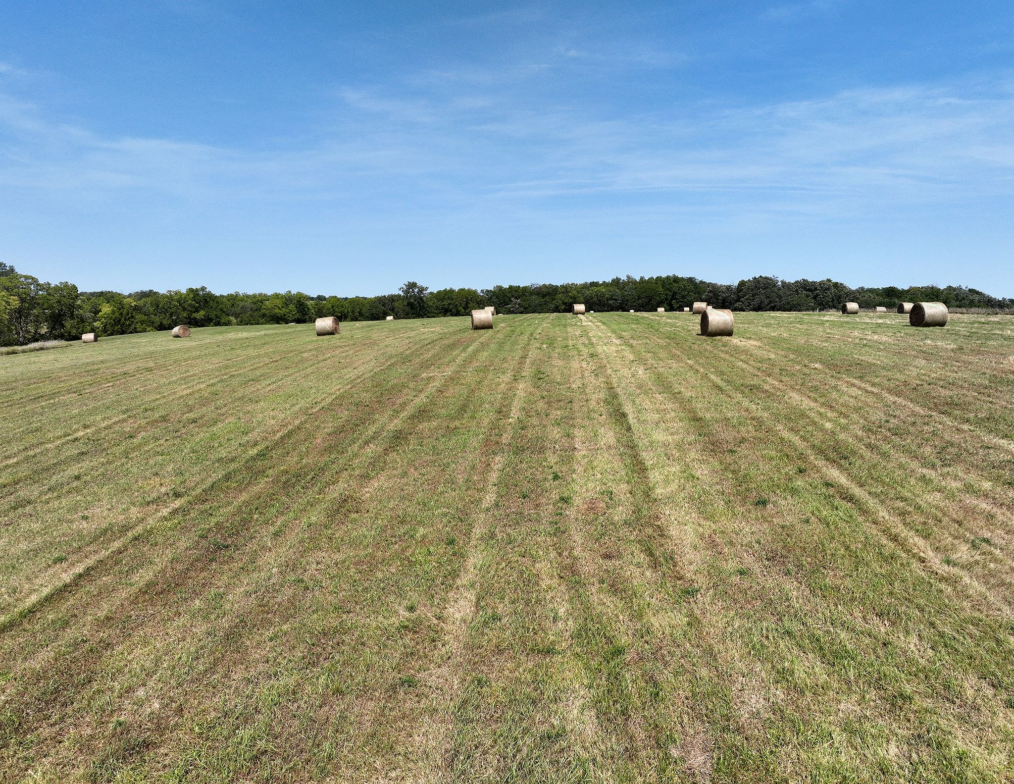
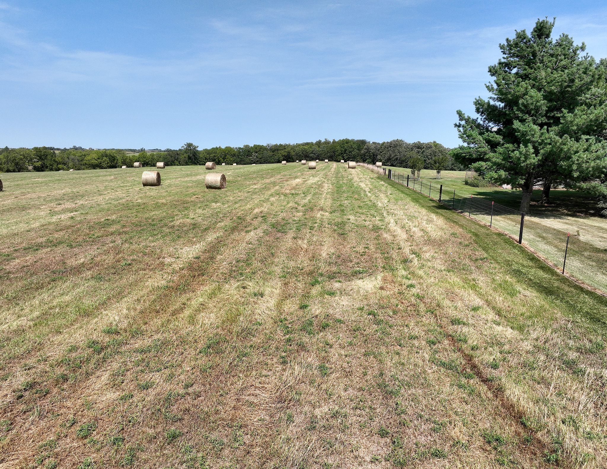
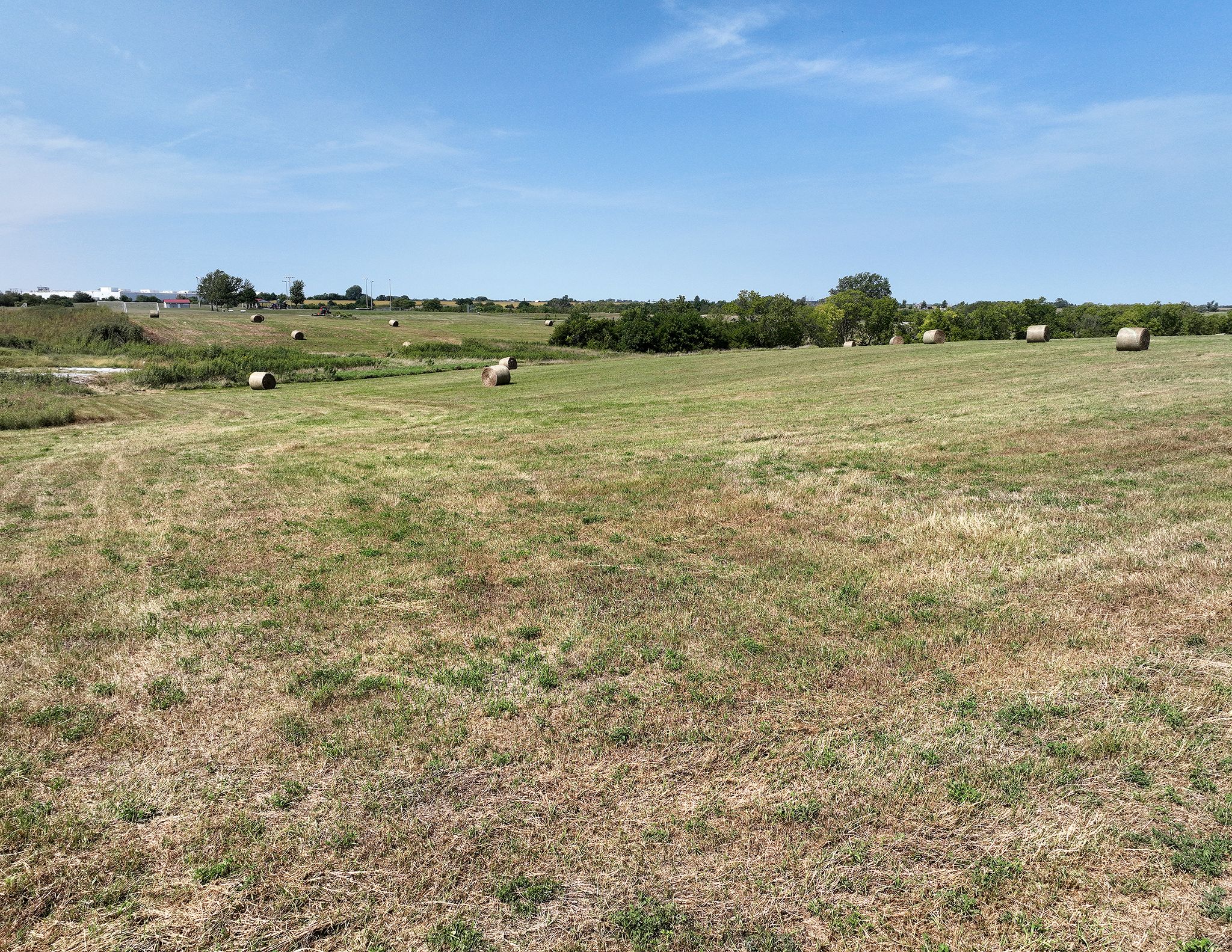
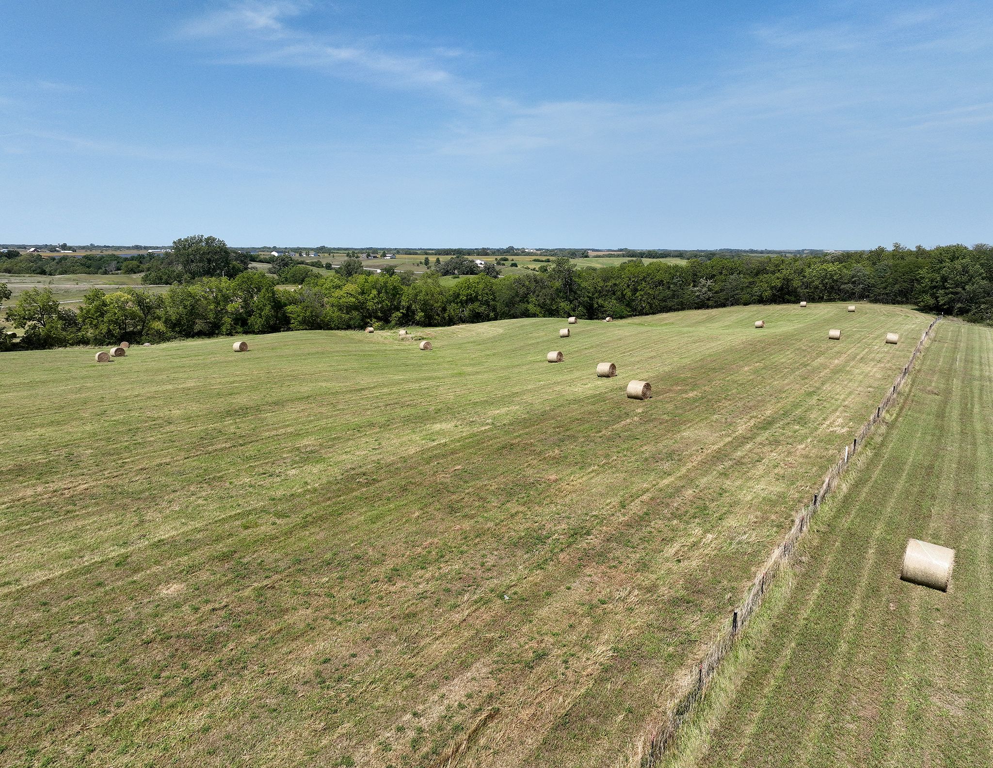
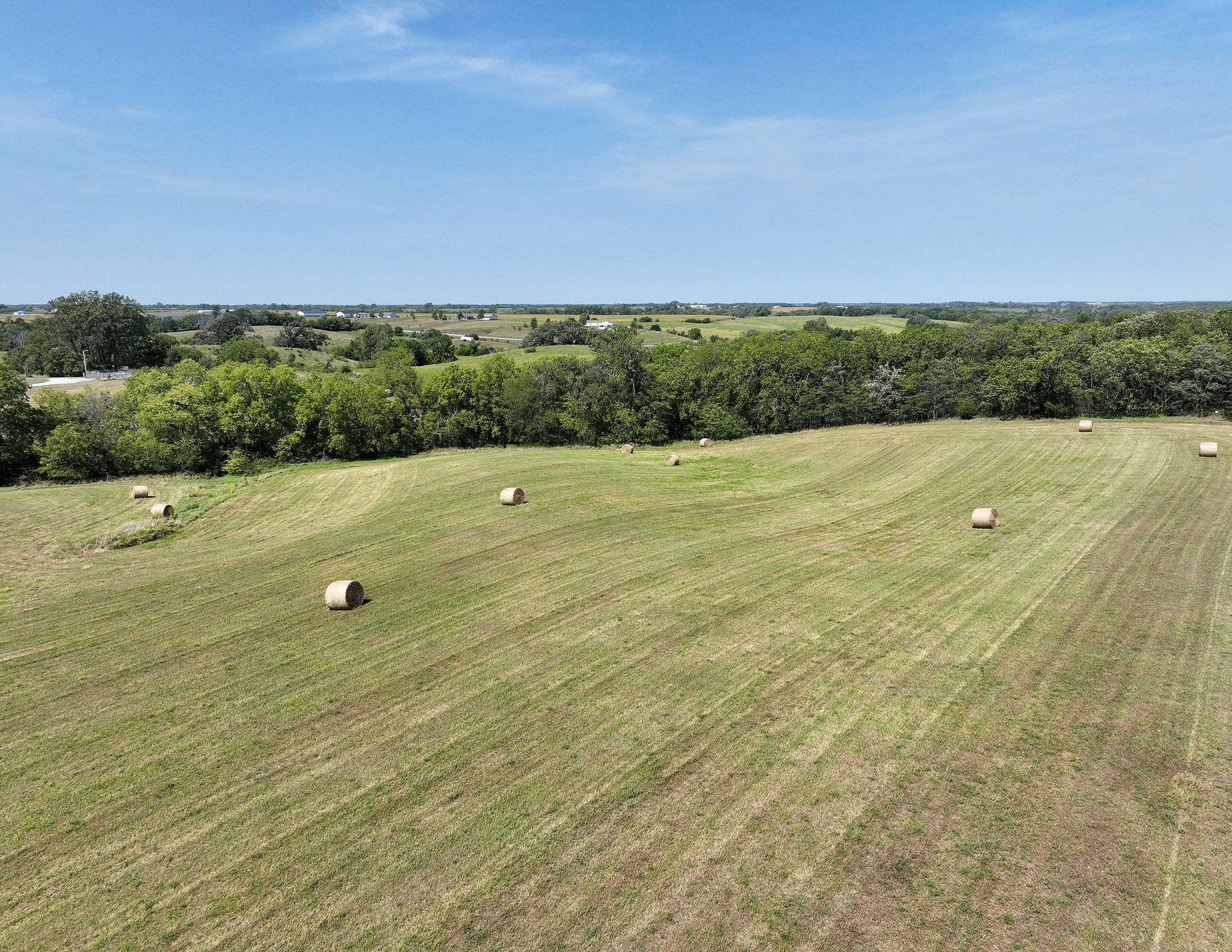
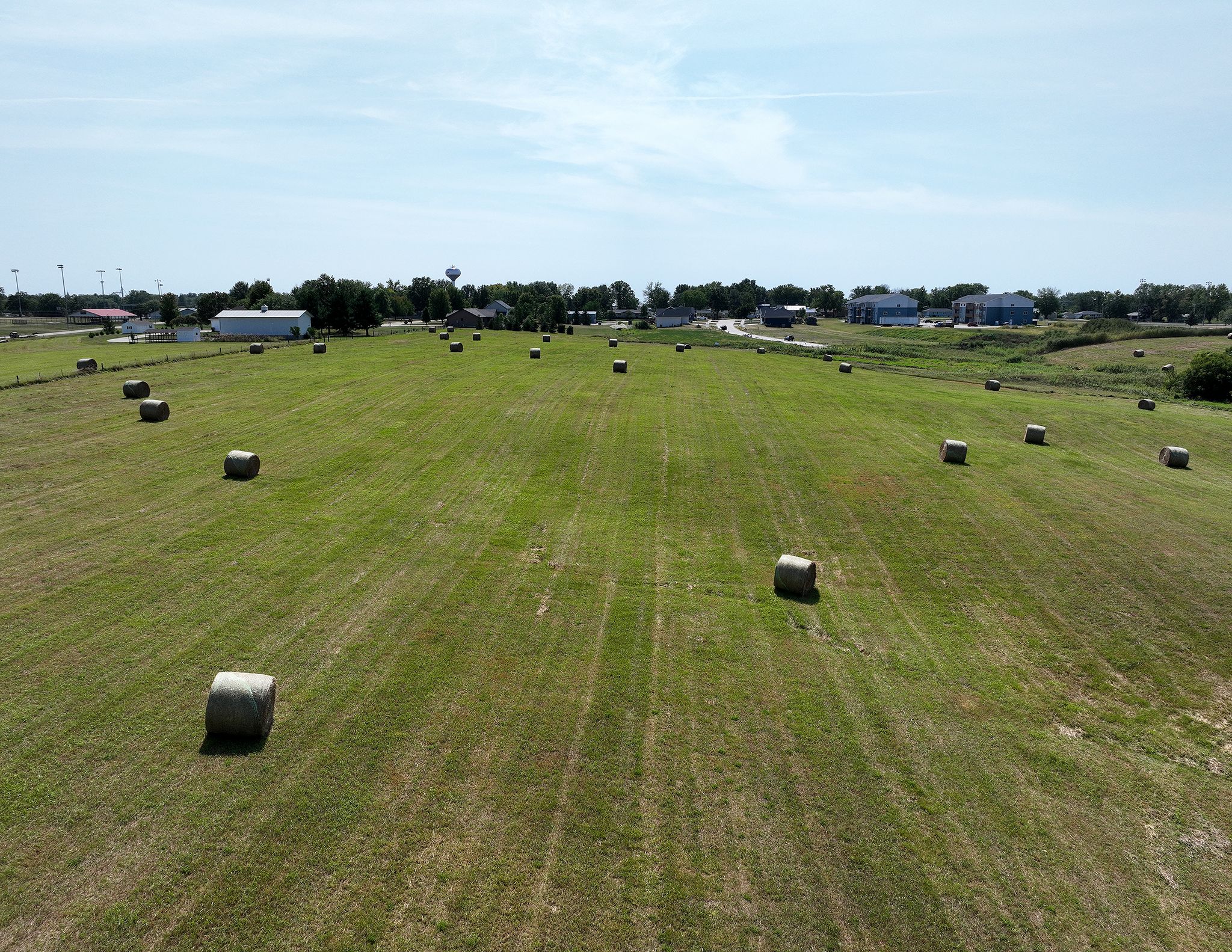
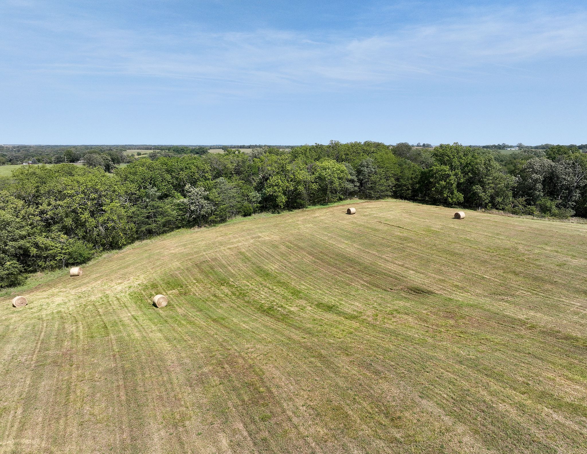
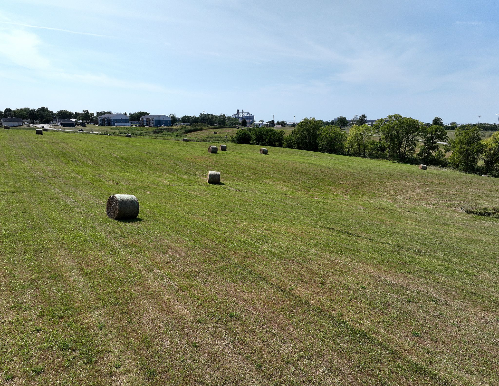
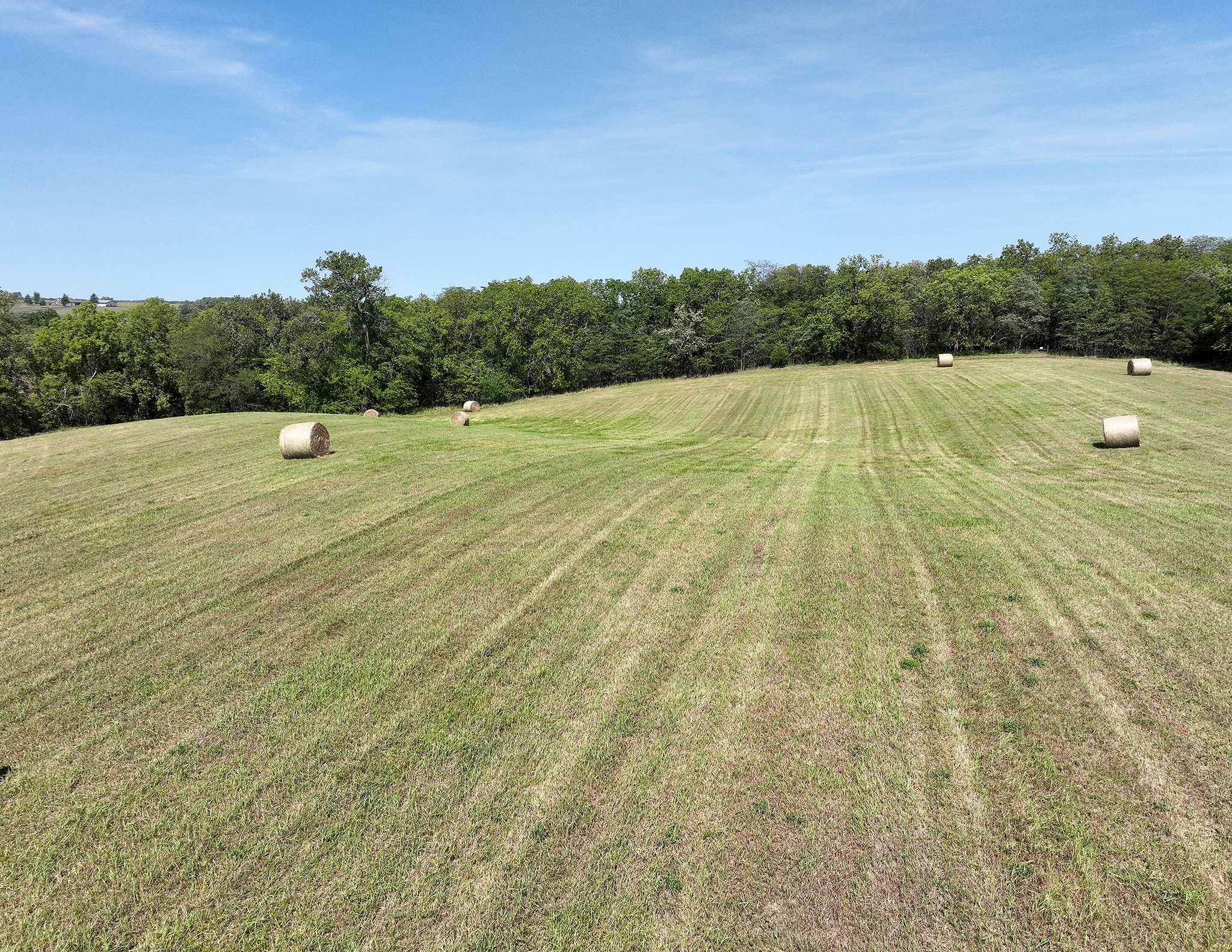
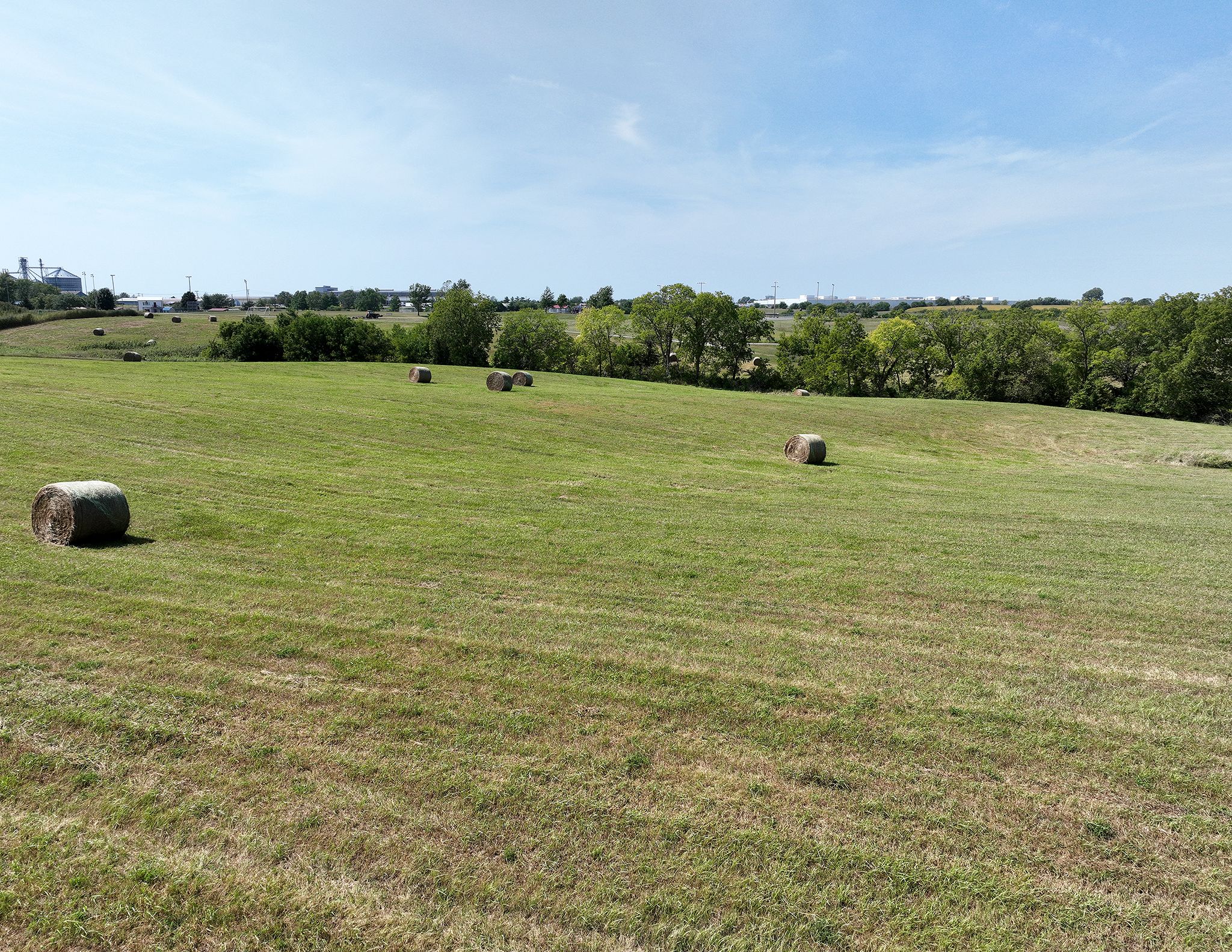
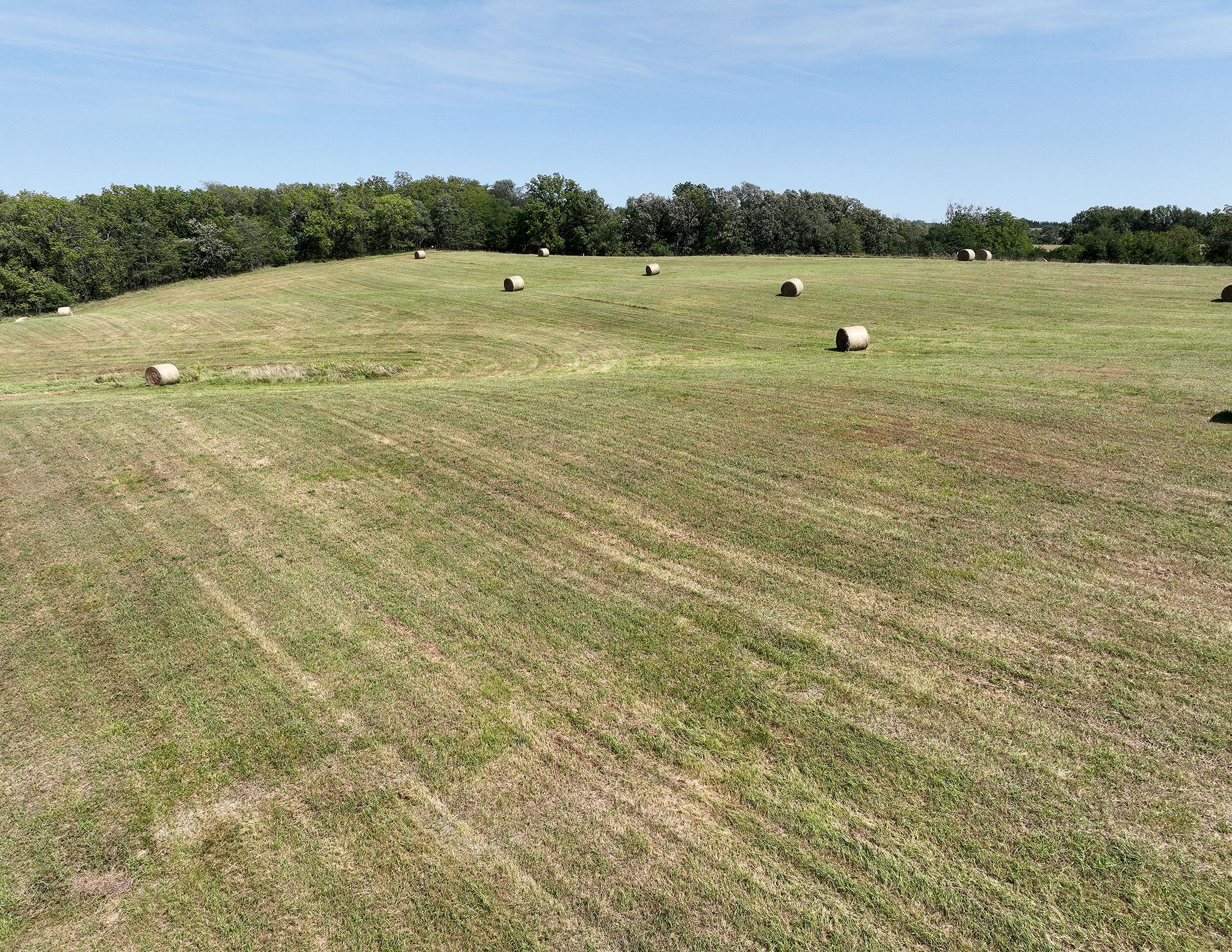
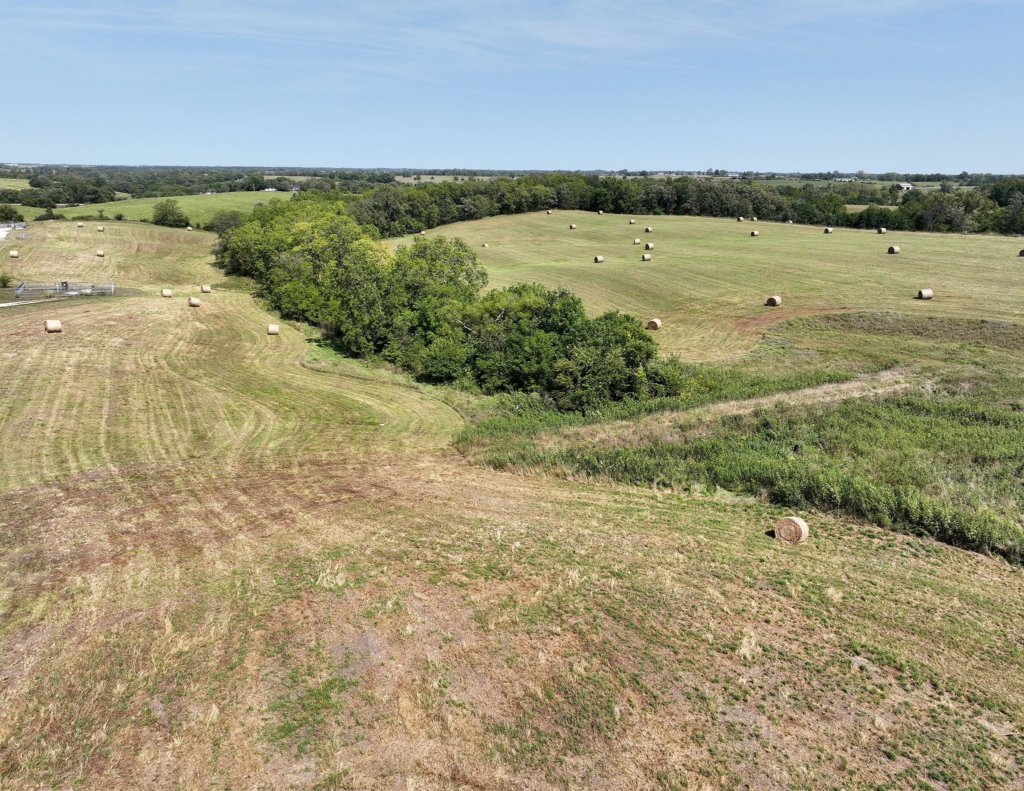
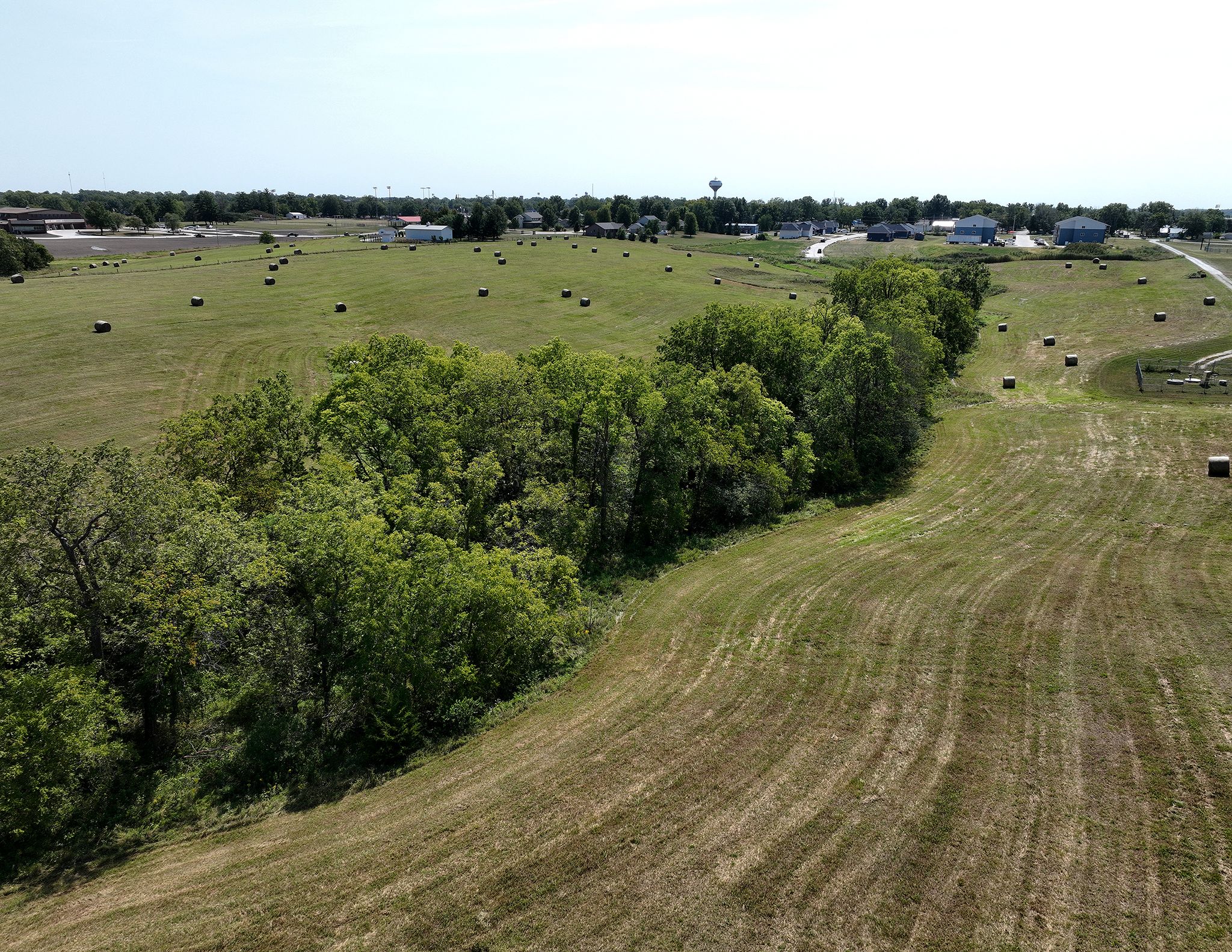
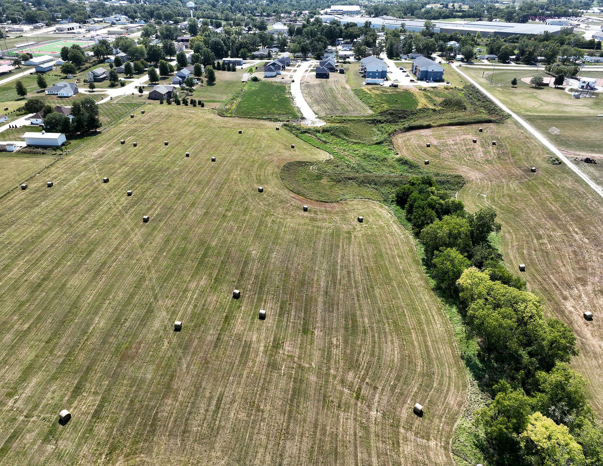
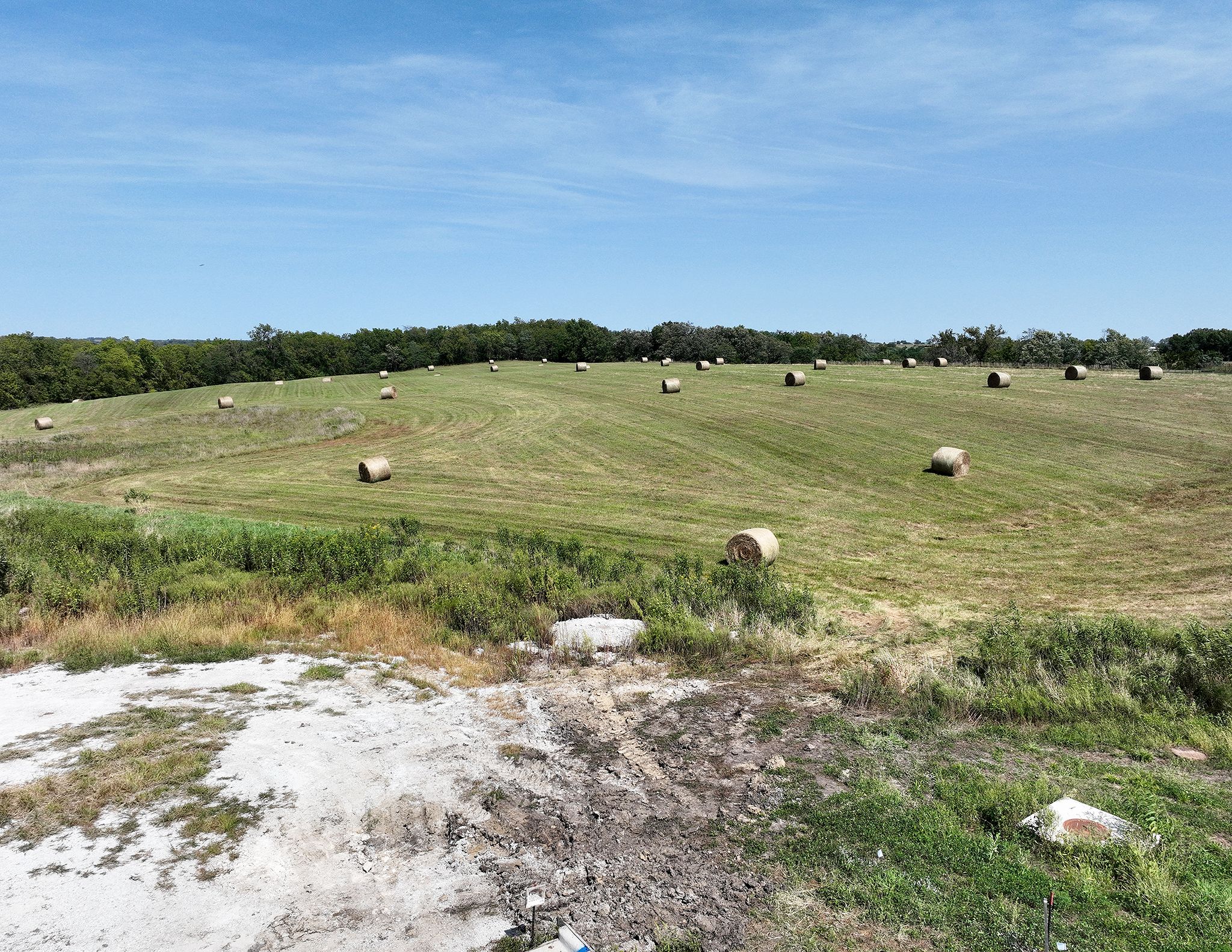
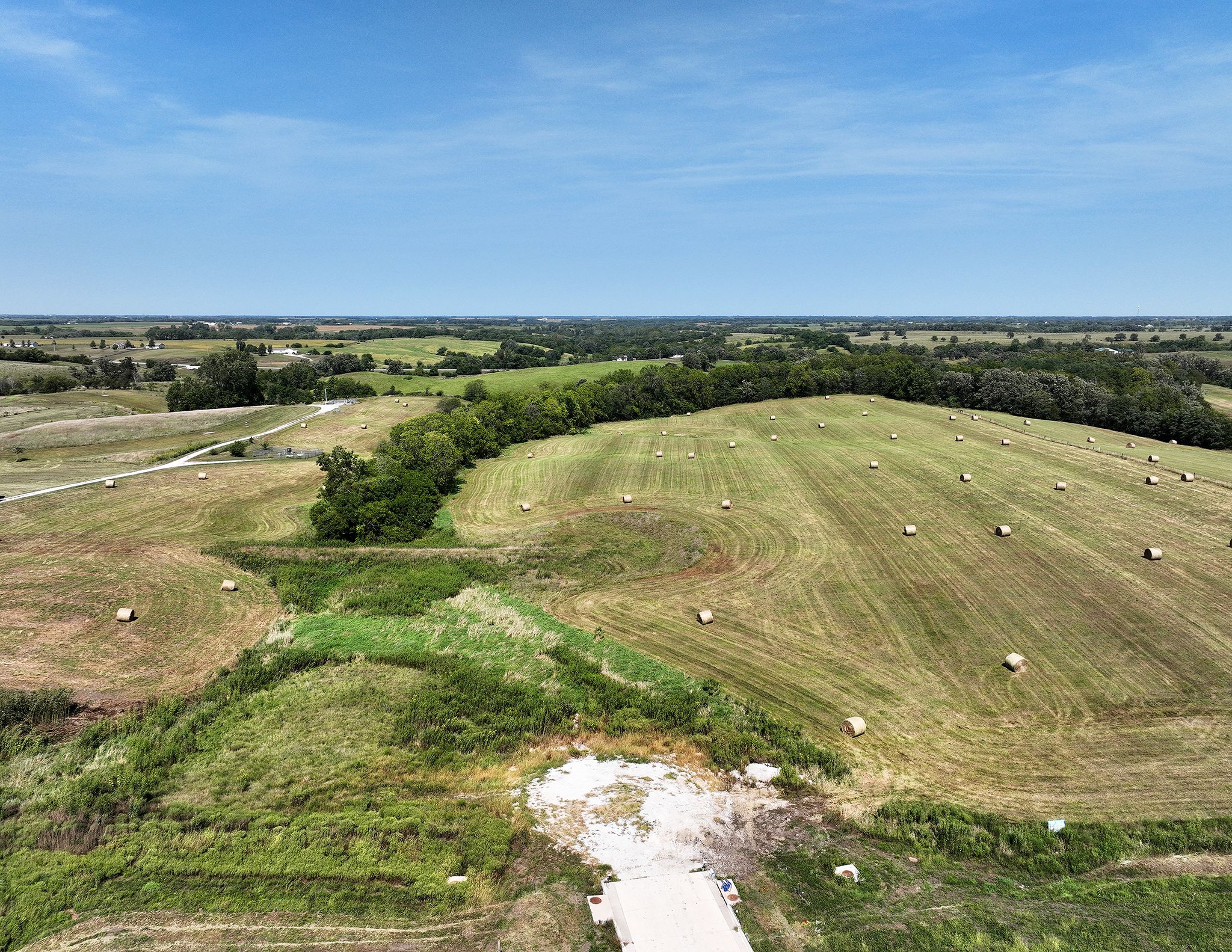
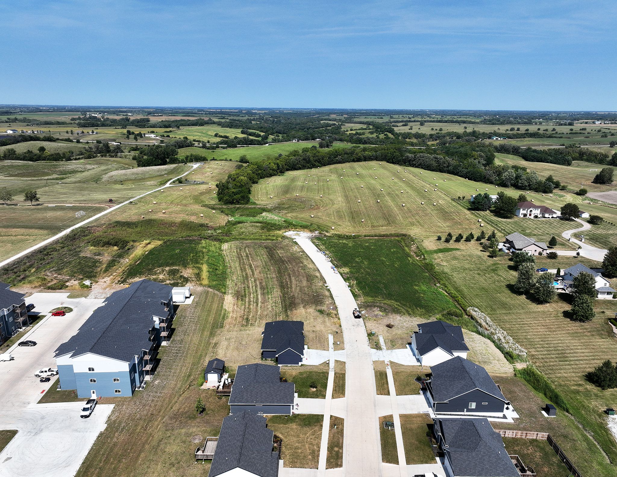
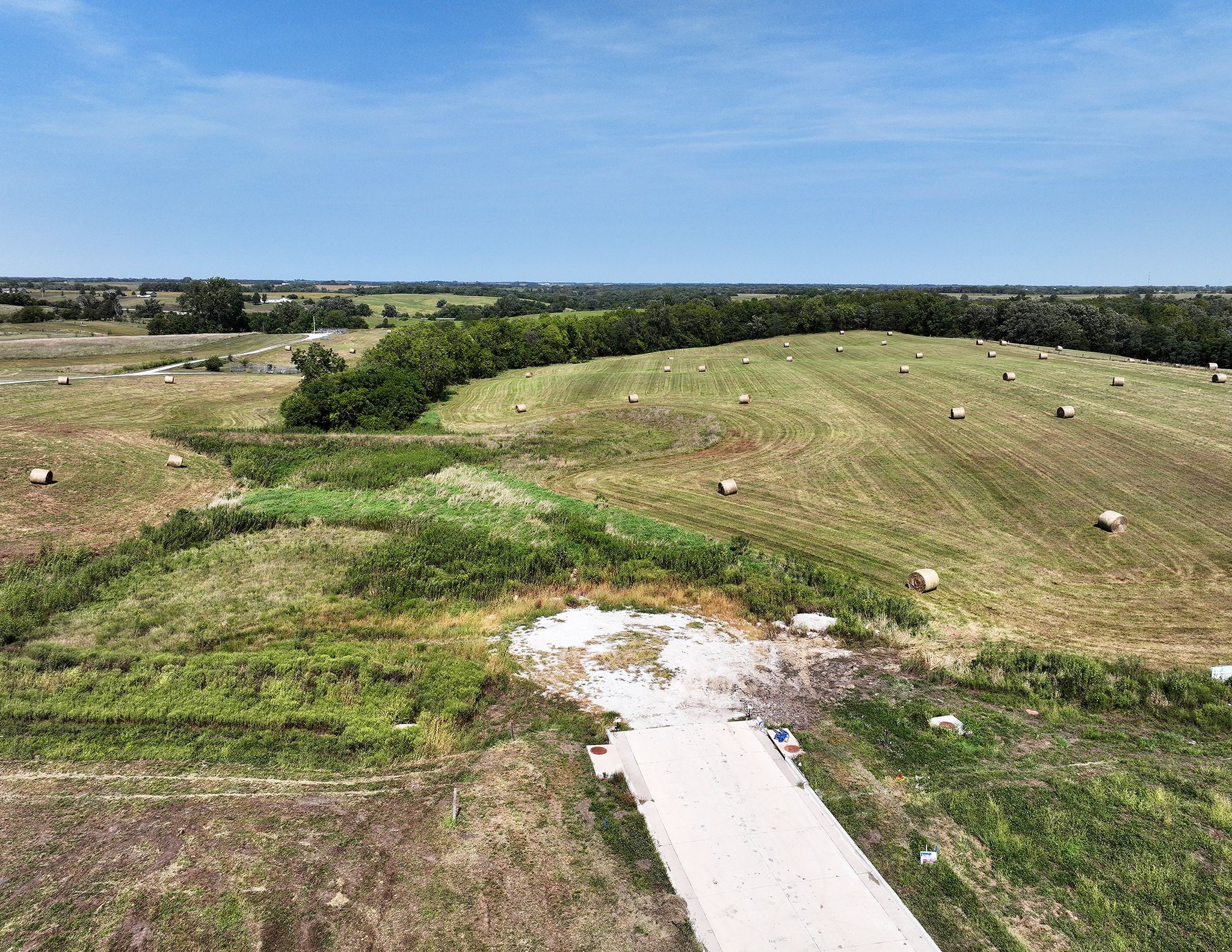
24.71 Acres M/L
24.71 Acres M/L
N 18th Street
Chariton, IA 50049
| Price | $164,900 |
| Listing | #18127 |

Land Agent & Auctioneer
Adam Curran
Office: 855.800.LAND
Mobile: 641.203.2931
Adam@PeoplesCompany.com

Property Info
Description
Legal Description
Directions
- Sign On Property: Yes
- MLS Number: 711408
- Parcel Number: 0718300007
- School District: Chariton Community School District
- General Area: Chariton City Limits
- Net Taxes: $260.00
- Lot Size: 24.71 Acres M/L
- Water: City
- Zoning: Ag
Interactive Map
Use the Interactive Map to explore the property's regional location. Zoom in and out to see the property's surroundings and toggle various mapping layers on and off in the Map Layer Menu.
Photos