Sold

Warren County, IA
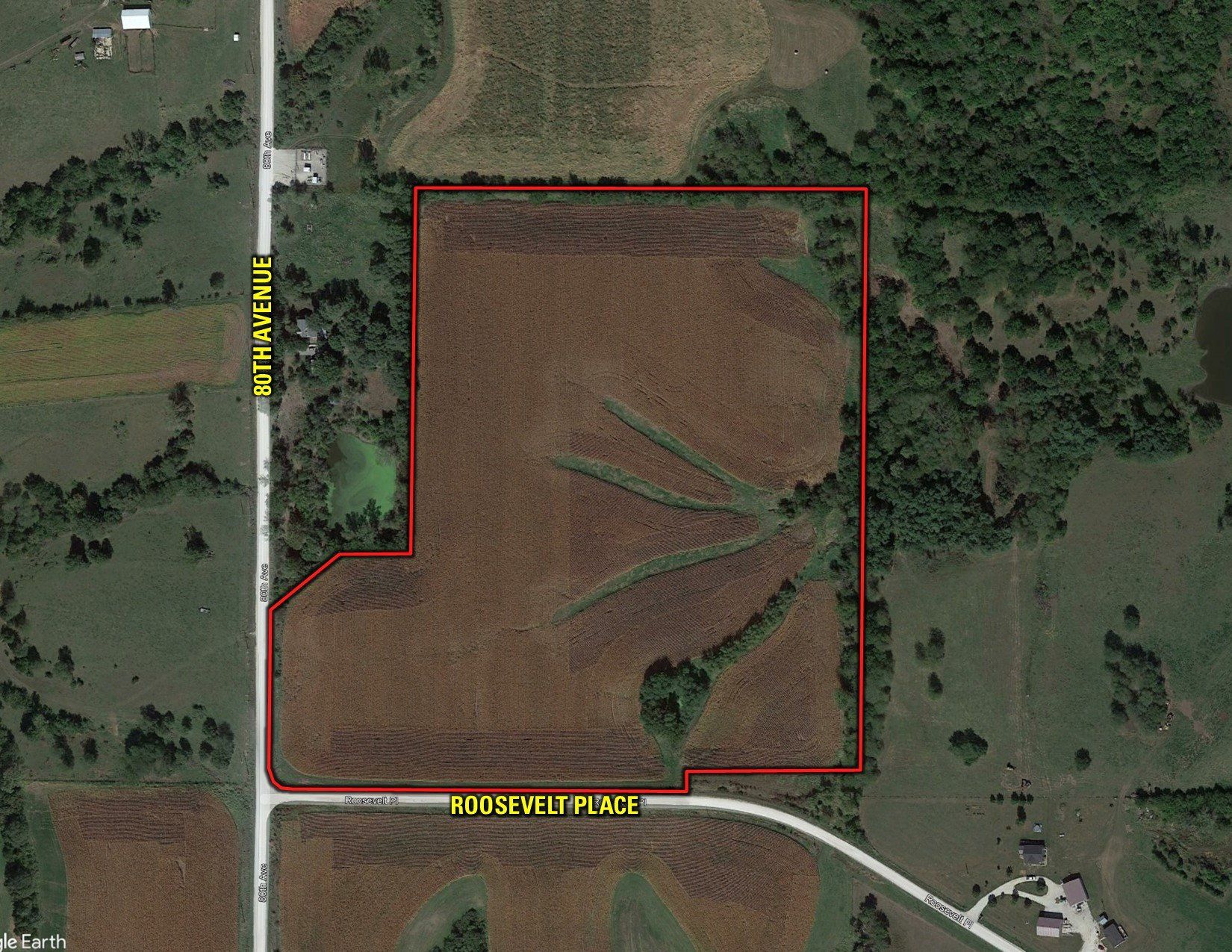
33.98 Acres M/L

Roosevelt Place
New Virginia, IA 50210

Price $408,000
Listing #16727

LAND AGENT

Kenny Herring, ALC

Office: 515.222.1347
Mobile: 515.783.8718
Kenny@PeoplesCompany.com

LAND AGENT & AUCTIONEER

Adam Curran

Office: 515.222.1347
Mobile: 641.203.2931
Adam@PeoplesCompany.com

Property Info

Description

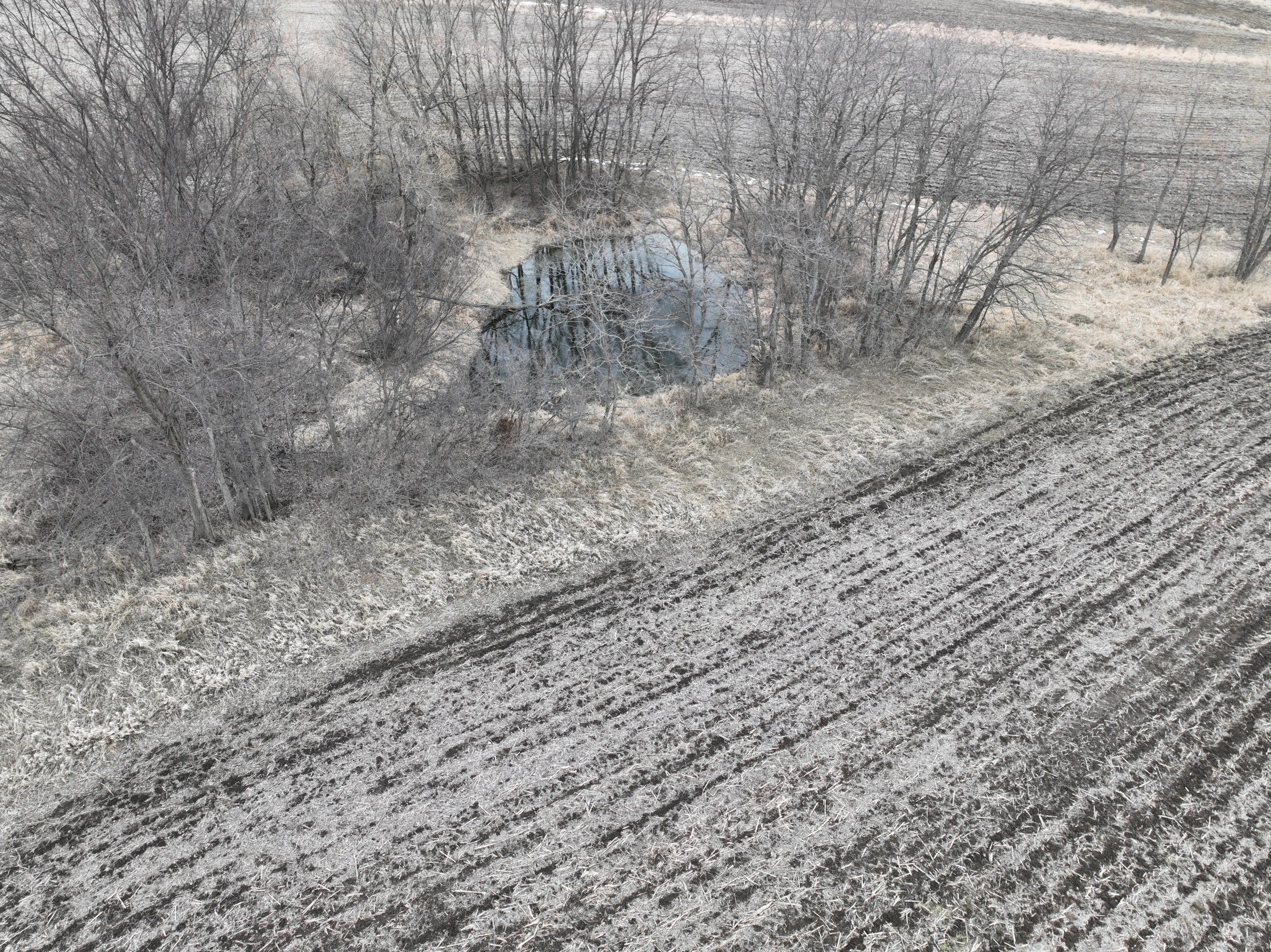
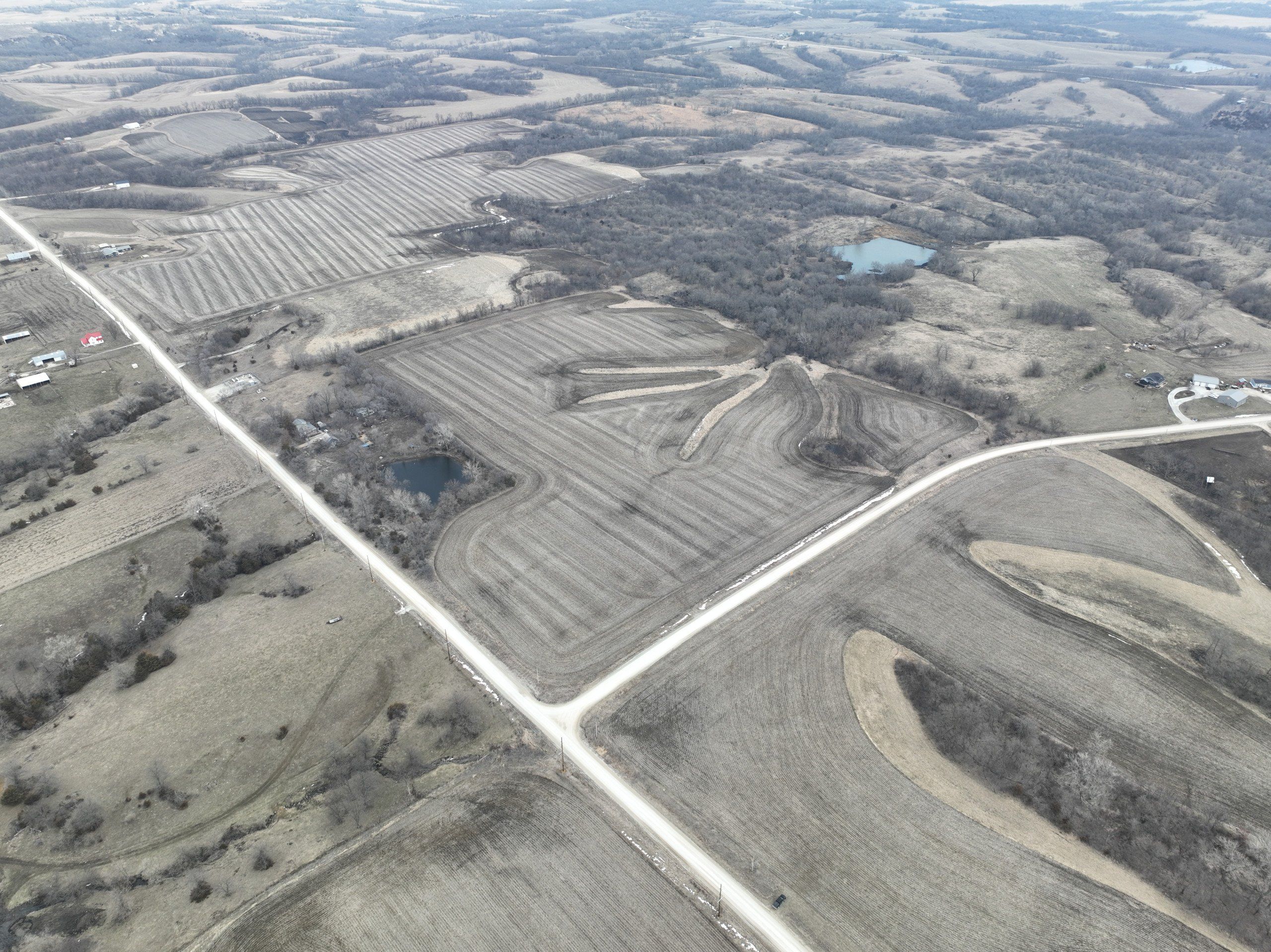
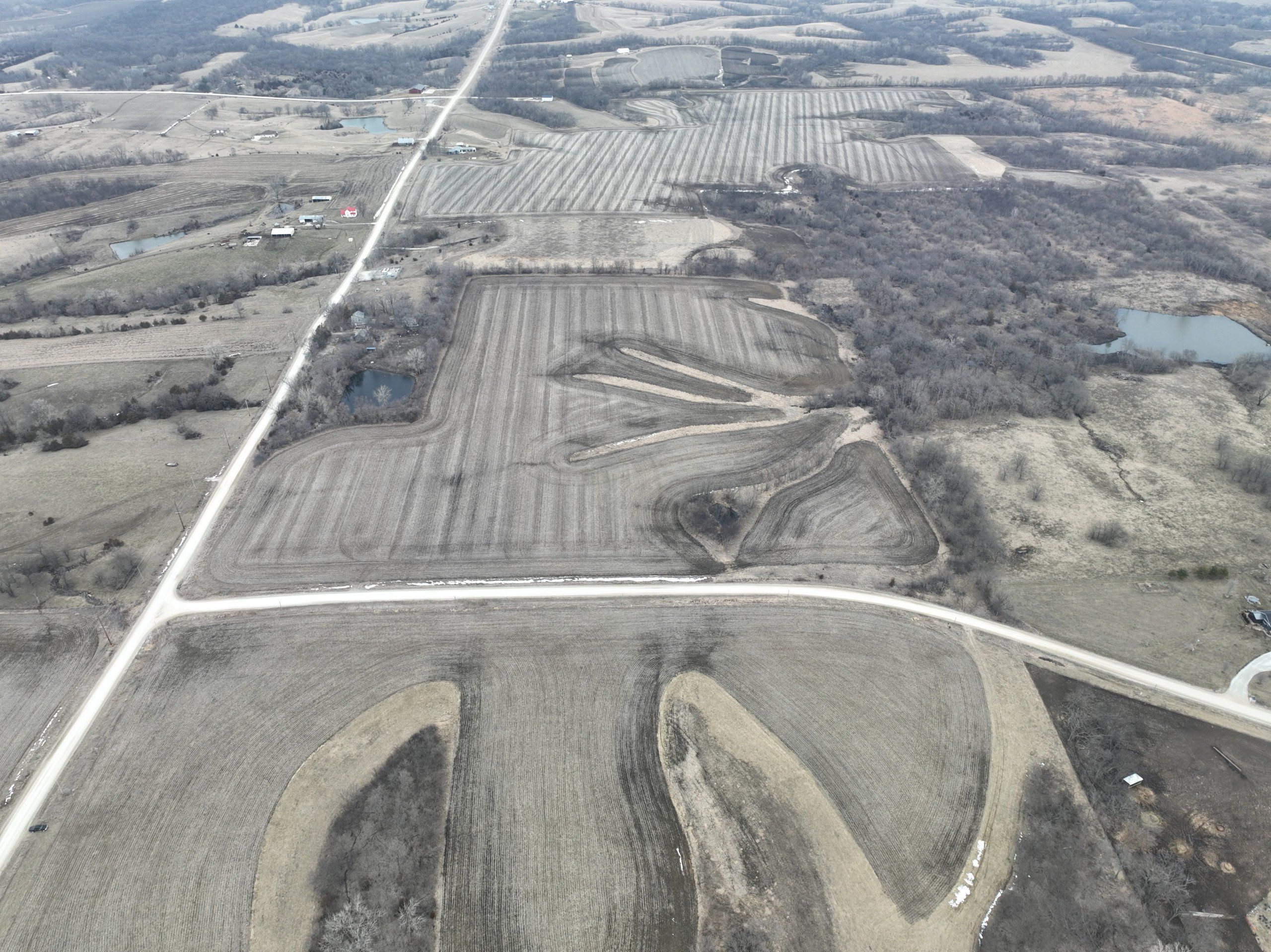
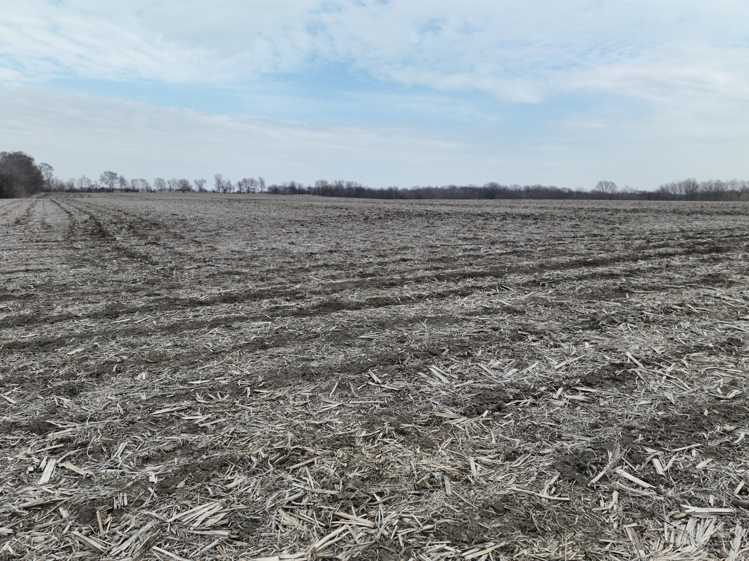
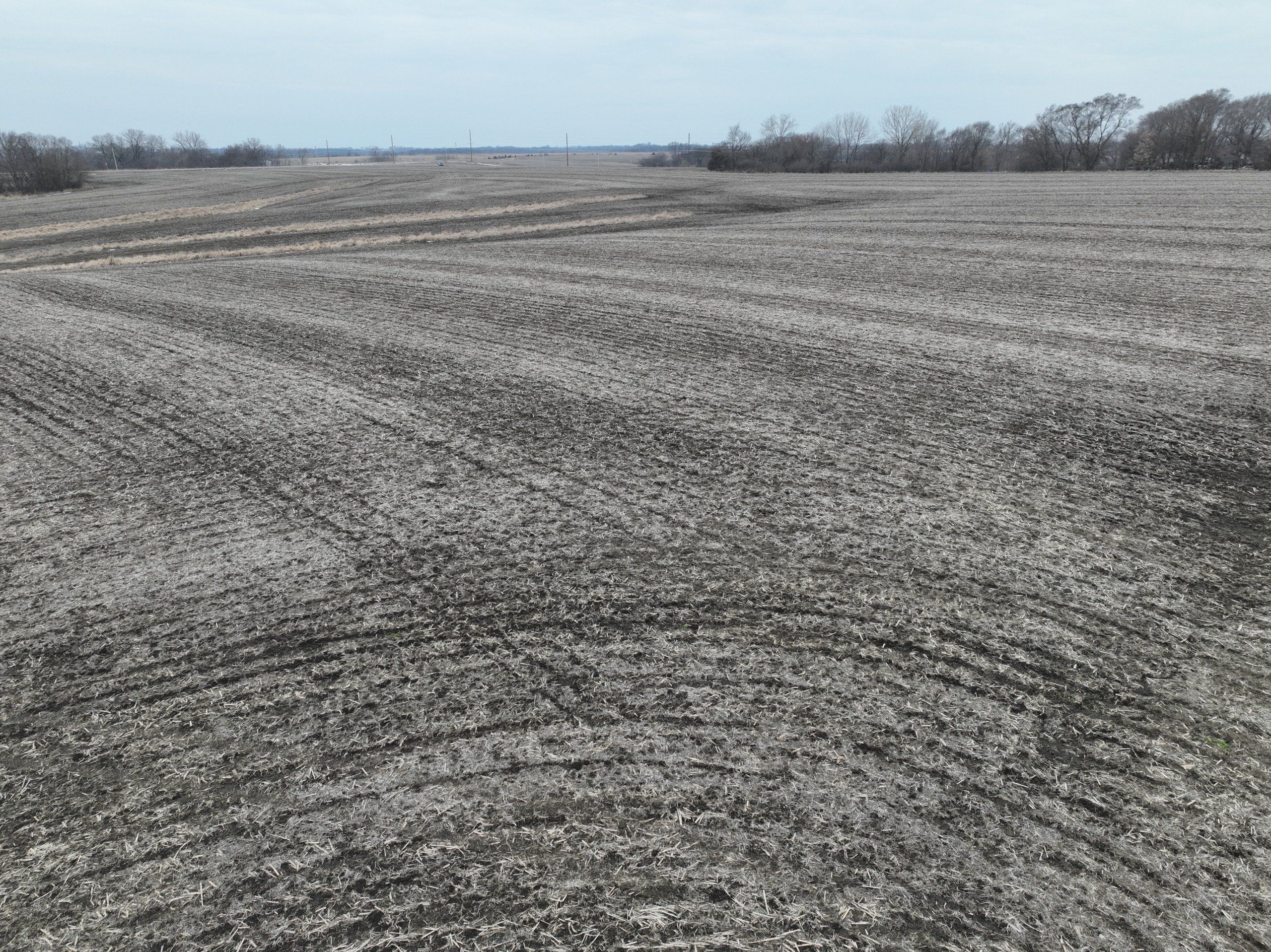
This is your chance to own 33.98 acres m/l in the heart of Warren County, Iowa. This property offers not only high-quality tillable acres with above average soils, but also an outstanding opportunity for a high-end building site. The farm is approximately 90% tillable with a CSR2 of 73.5 which is well above average for the area. This property also has some great recreational opportunities with numerous water sources and habitats surrounding the property. The land is located in the Interstate 35 School District and within a 30 minute commute to the Des Moines metro area. Rural water provider is Warren Water District. Electrical provider is Clarke Electric Coop. This is a perfect chance to build with no covenants. Take advantage of this rare opportunity!

Legal Description

The Northwest Quarter (1/4) of the Southwest Quarter (1/4) Except 33' X 400' & Except 6.13 acres in the Northwest corner of the Northwest Quarter (1/4) of the Southwest Quarter (1/4) all in Section 5 Township 74 North Range 24 West of the 5th PM Warren County. Exact legal description to be taken from Abstract.

Details

DCP Cropland Acres: 32.80
Corn Base: 18.50 Acres with a PLC Yield of 104
Soybean Base: 14.30 Acres with a PLC Yield of 42
Total Base Acres: 32.80

Directions

From Interstate 35: Take Highway G-76 east approximately 6.5 miles to 80th Avenue. Go north on 80th Ave for 3.25 miles. The property is on the east side of 80th at Roosevelt Place.

Covenants

None

Improvements

None

Reserved Items

None

  • Sign On Property: Yes
  • MLS Number: 669796
  • Parcel Number: 23000050640
  • School District: Interstate 35
  • General Area: New Virginia
  • Gross Taxes: $794.00
  • CSR2: 73.50
  • Water: Warren Water District
  • Zoning: Ag


Interactive Map

Use the Interactive Map to explore the property's regional location. Zoom in and out to see the property's surroundings and toggle various mapping layers on and off in the Map Layer Menu.


Photos
Listing Photo Listing Photo Listing Photo Listing Photo Listing Photo Listing Photo Listing Photo Listing Photo Listing Photo Listing Photo Listing Photo Listing Photo Listing Photo Listing Photo Listing Photo