75.29 Acres M/L in Story County IA | Auction ends on October 22 | Details

40 Acres of Prime Whitetail Hunting, Building Site & CRP Income Near Van Wert, Iowa

New Listing
Decatur County, IA
40.00 Acres M/L

215th Avenue
Van Wert, IA 50262

Price $250,000
Listing #19926
Jake Sickels

Land Agent

Jake Sickels

Office: 855.800.LAND
Mobile: 515.681.2103
[email protected]

Brandon Tessau

Land Agent

Brandon Tessau

Office: 855.800.LAND
Mobile: 515.850.8179
[email protected]

Property Info

Description

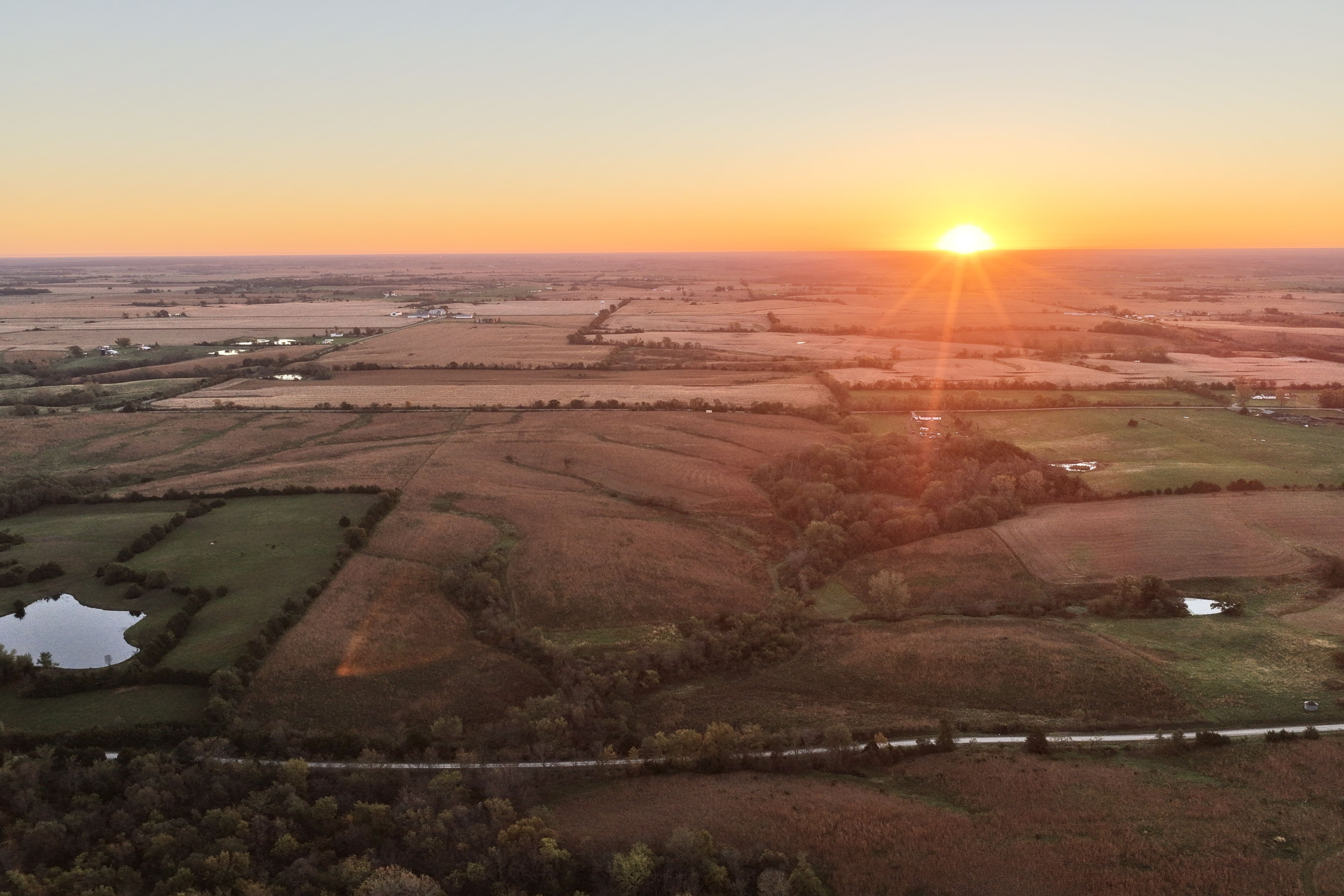
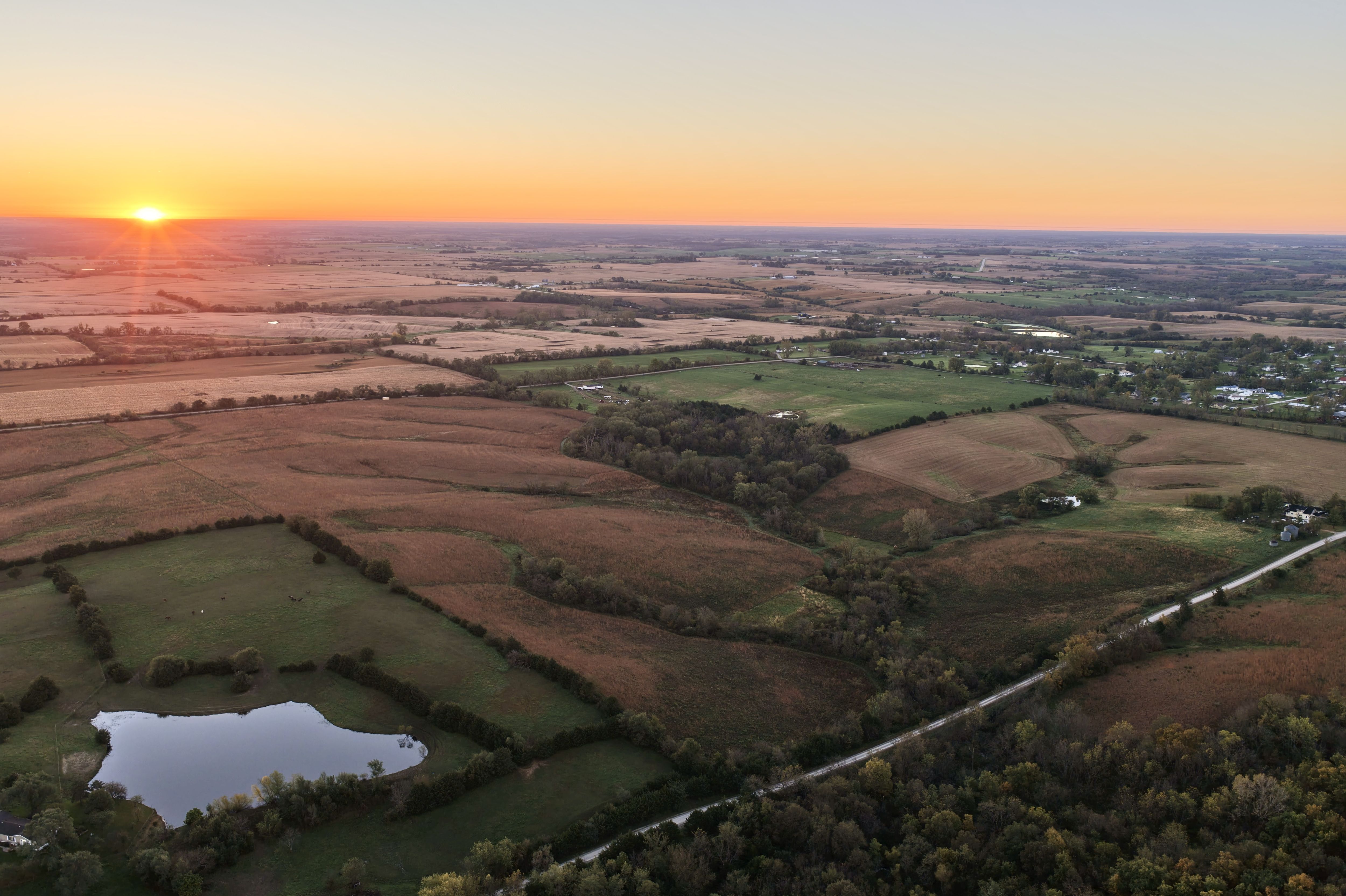
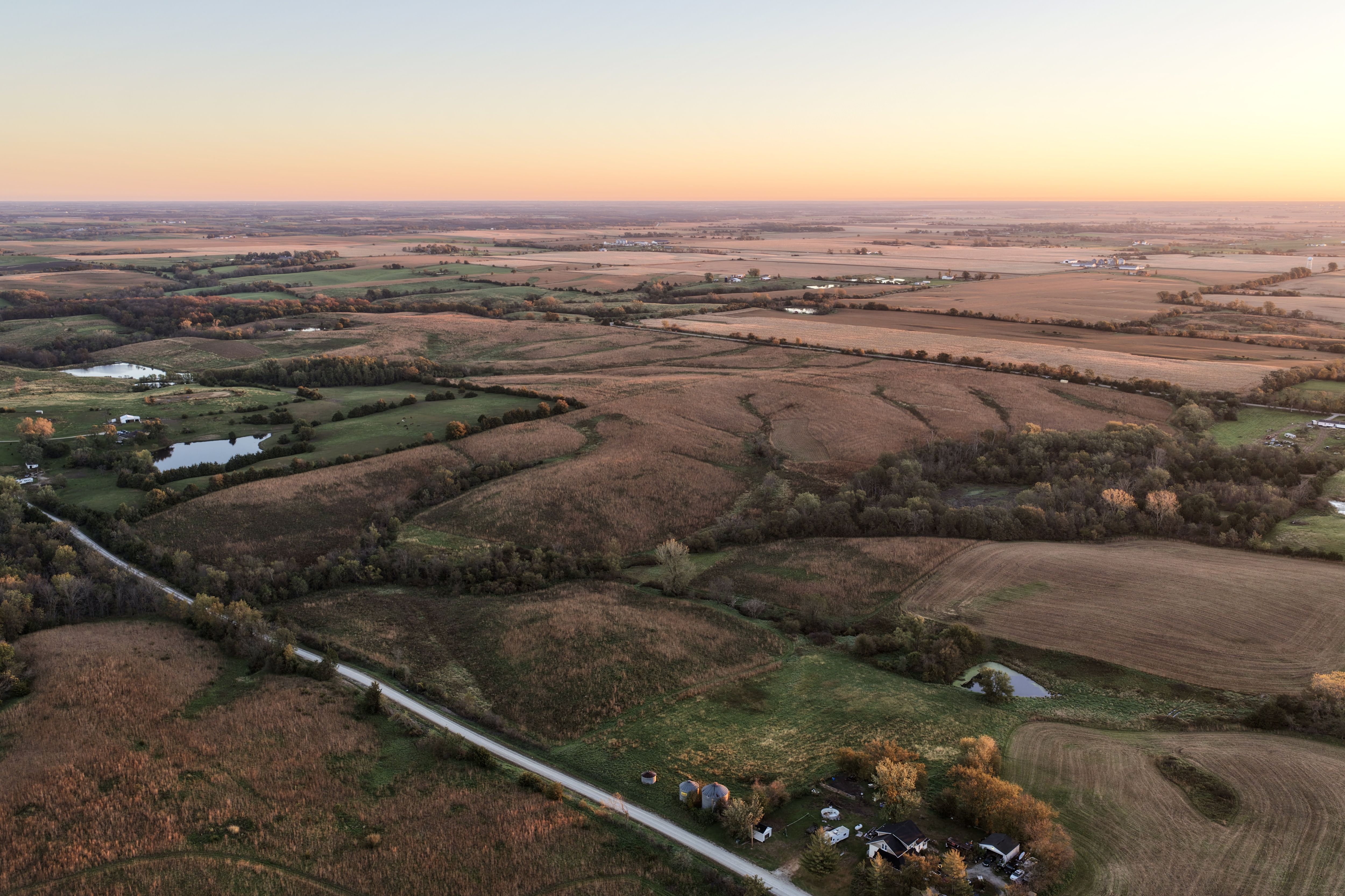
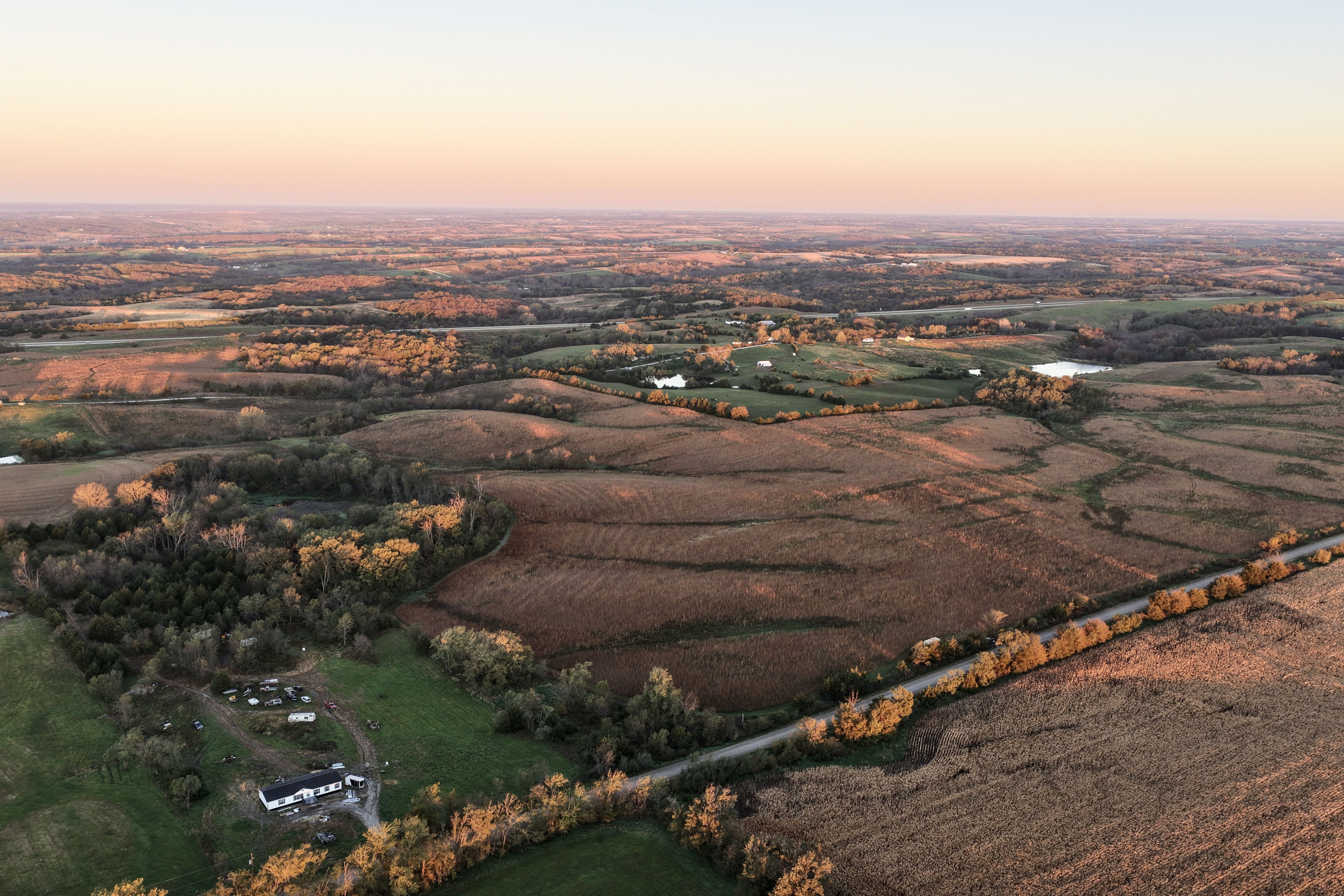
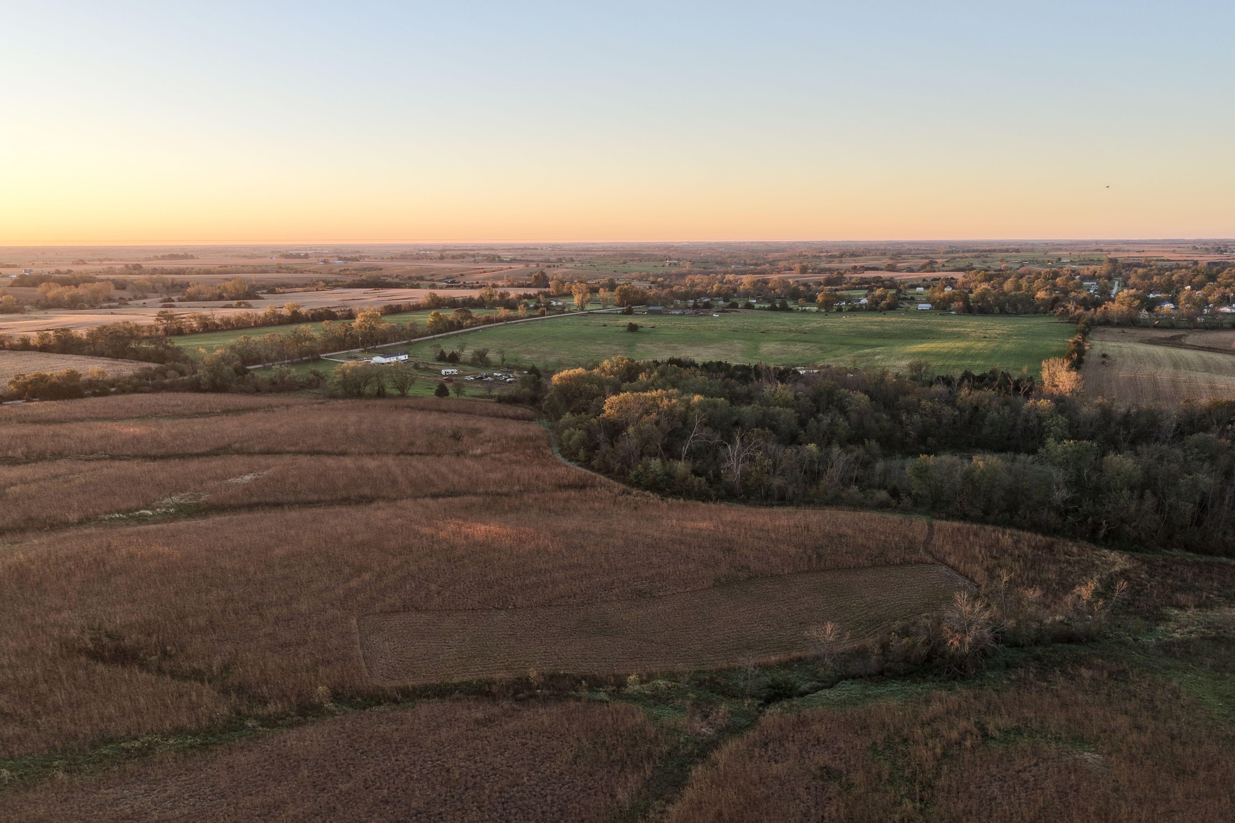
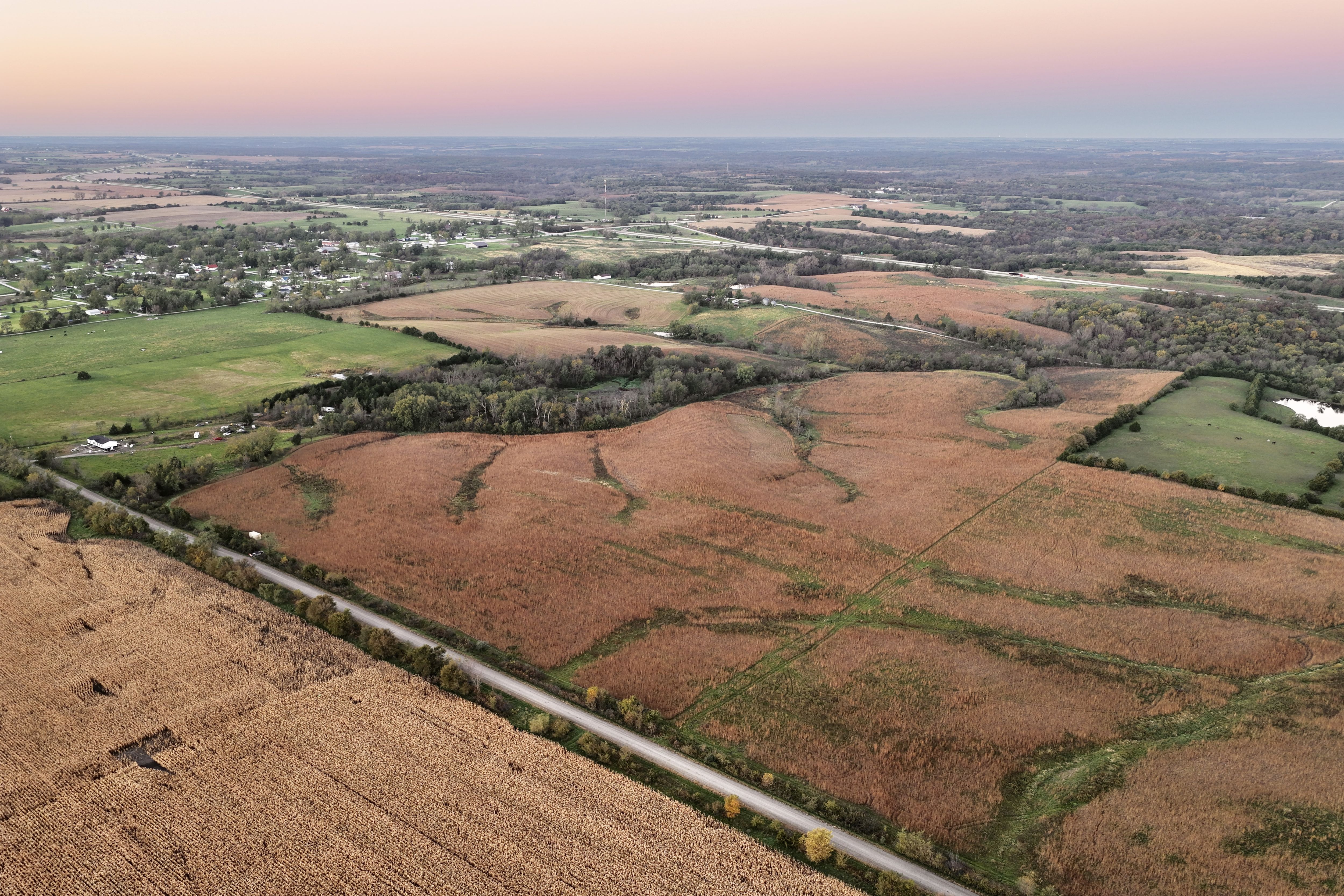
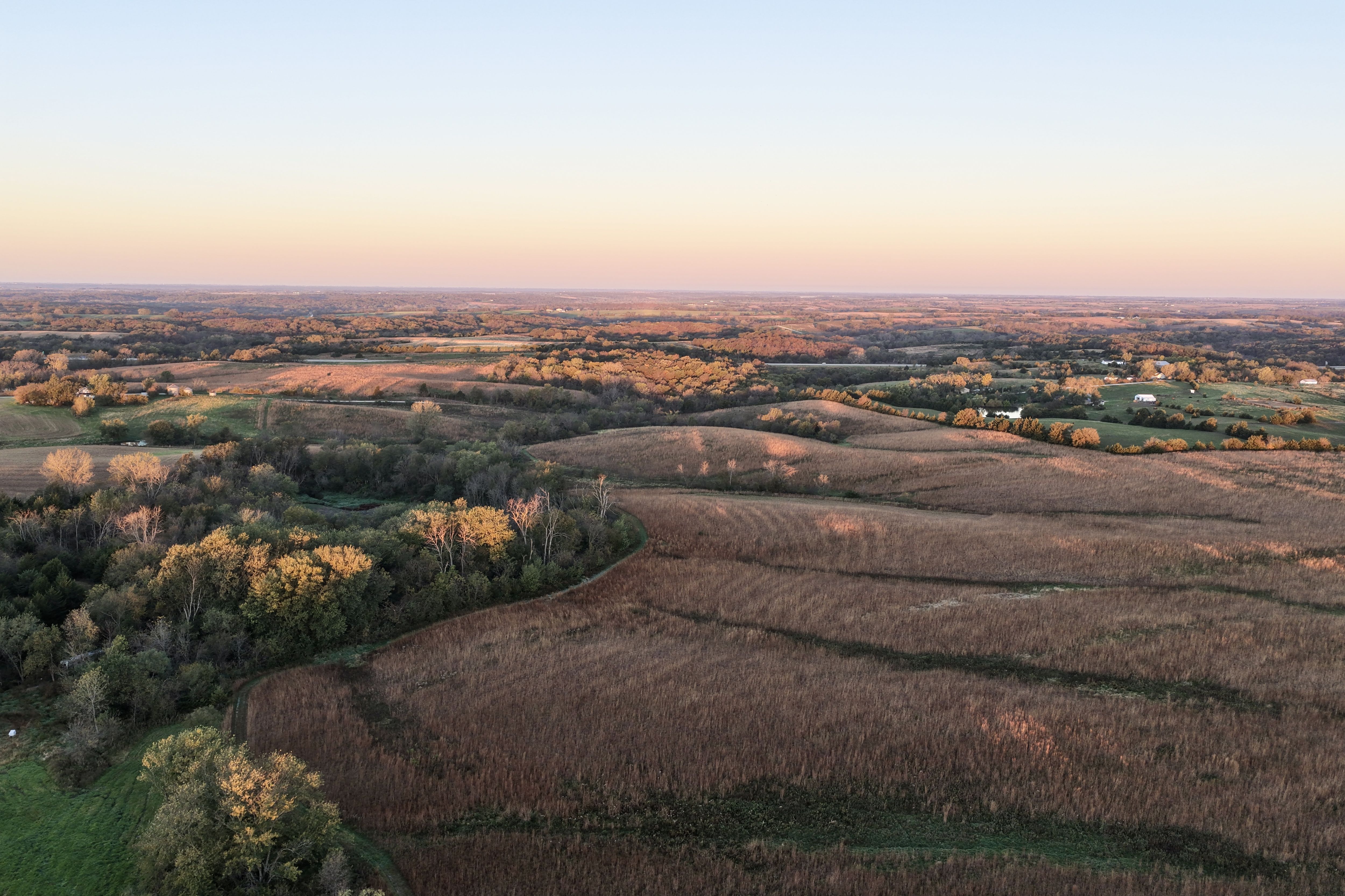
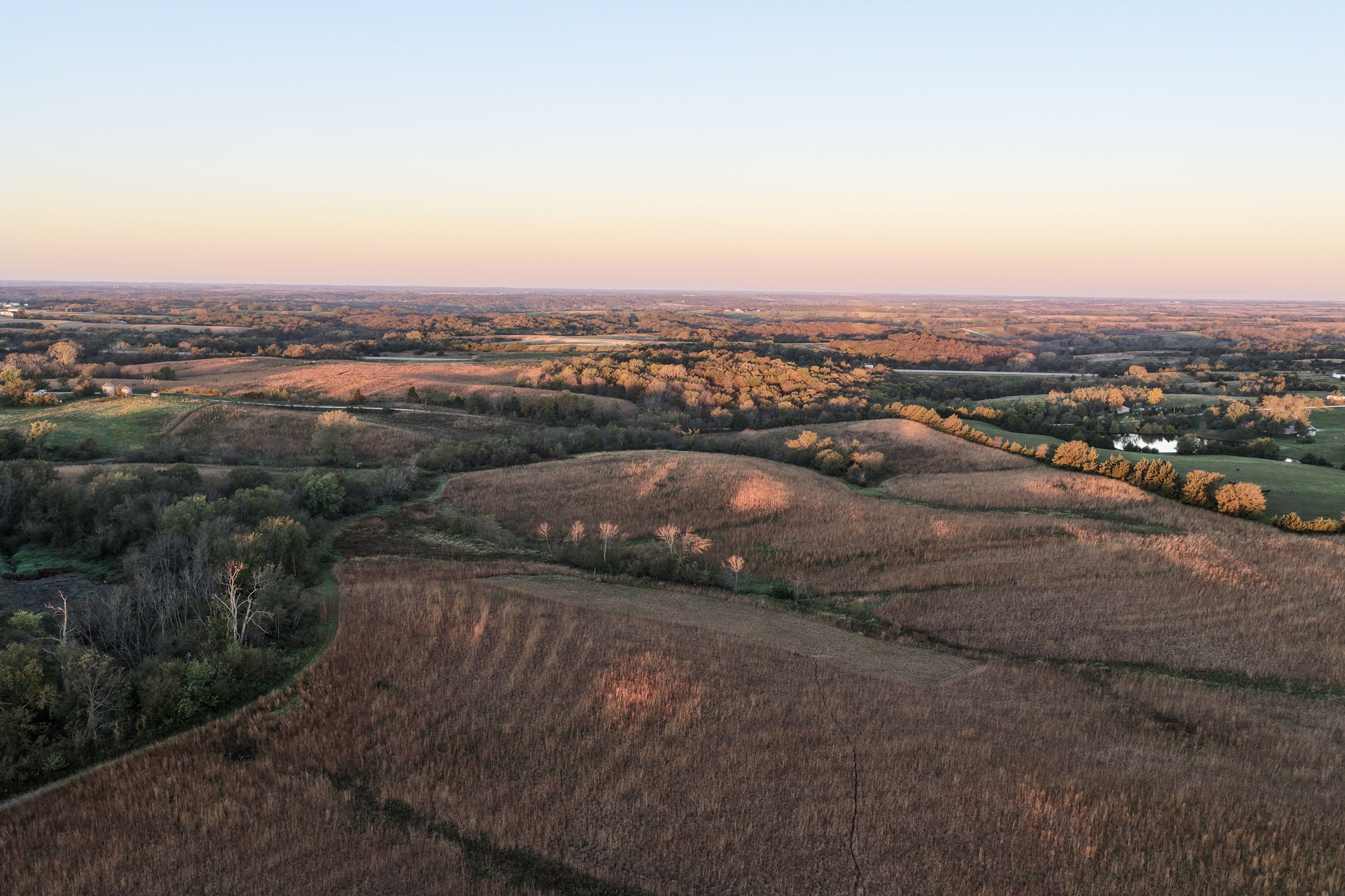
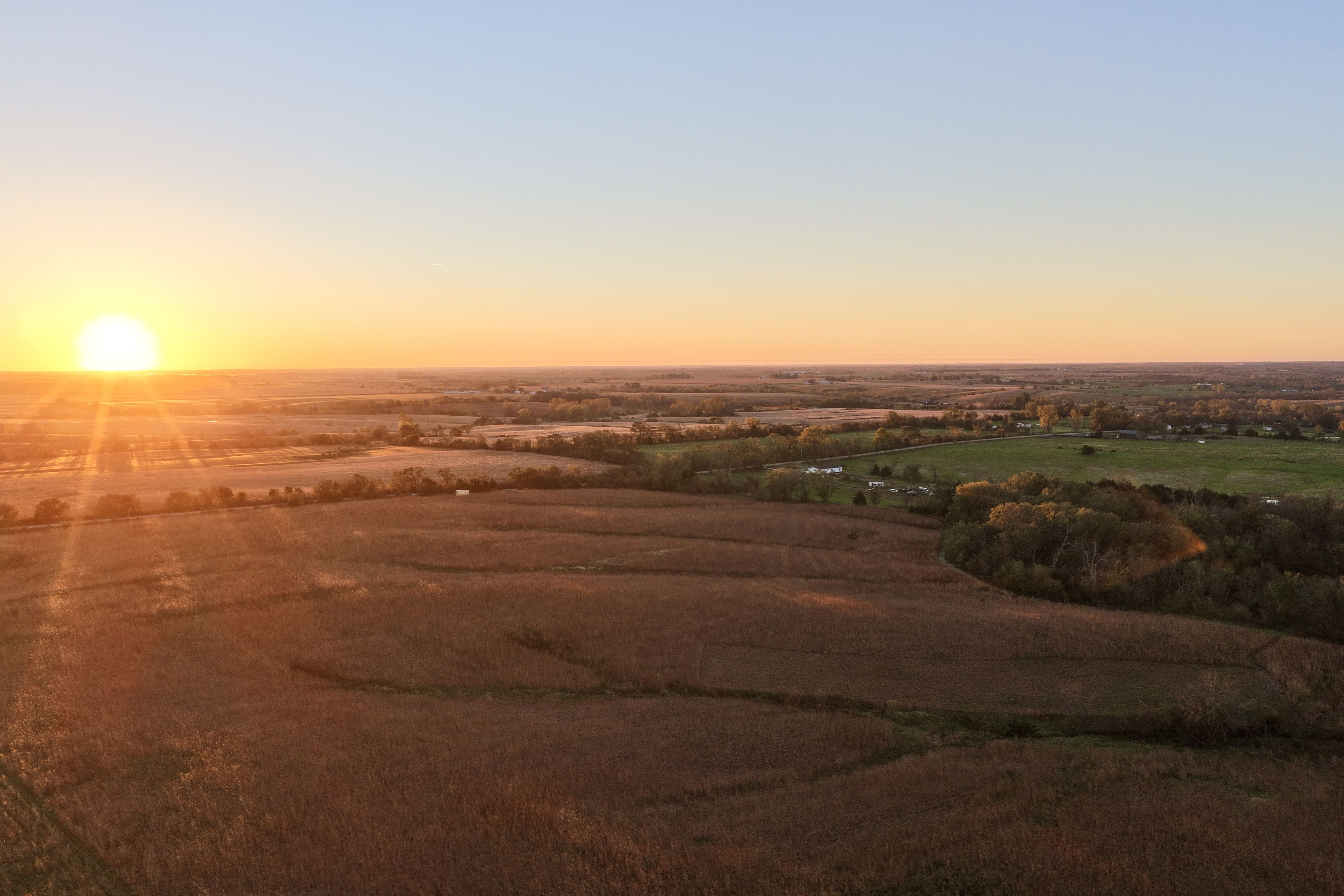
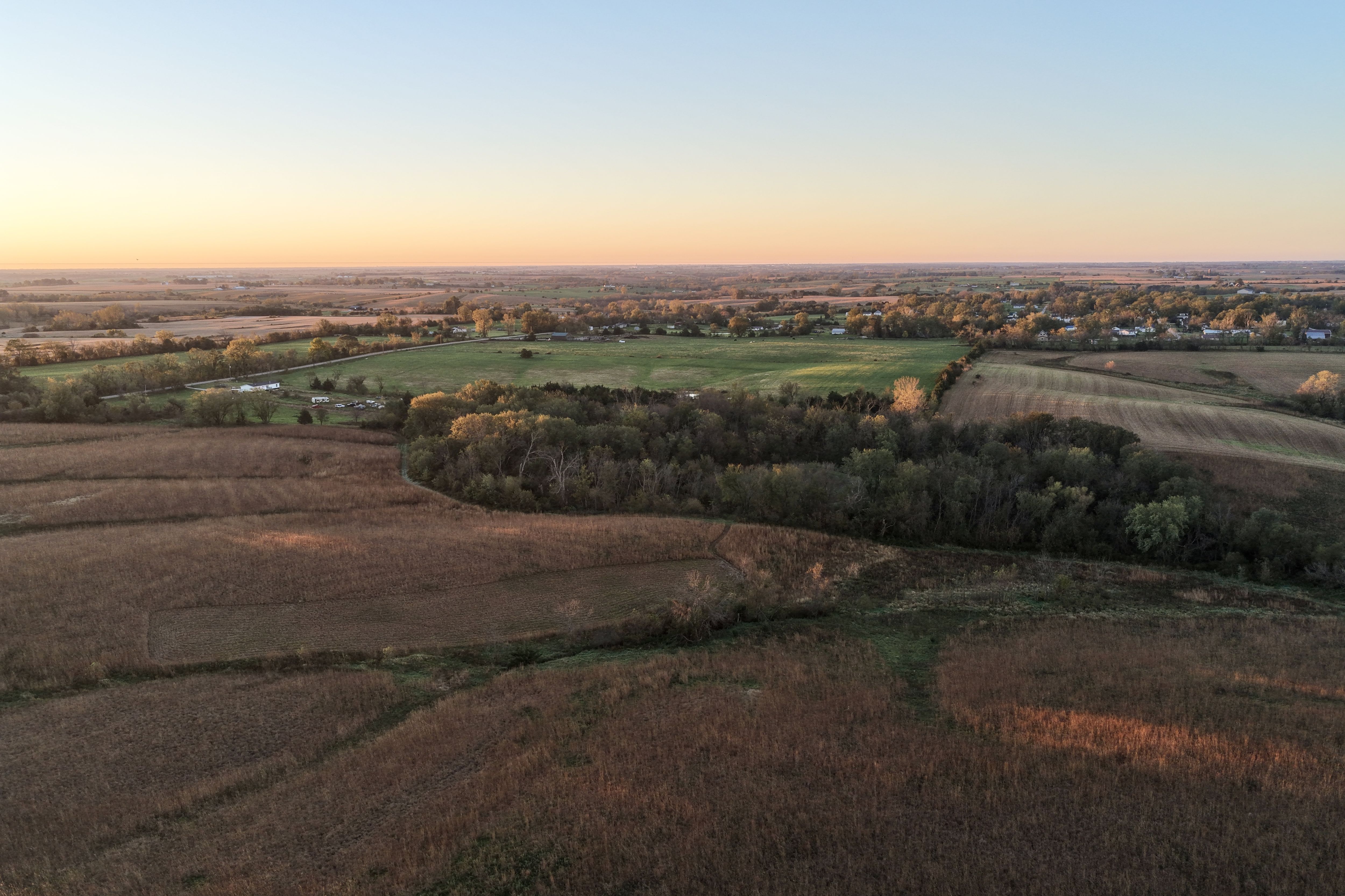
Peoples Company is pleased to present this 40-acre m/l recreational property for sale near Van Wert, Iowa, in Decatur County. This Southern Iowa hunting property offers excellent opportunities for whitetail deer hunting, wildlife recreation, and land investment, featuring a strong combination of wooded draws, established wildlife habitat, and income-producing CRP acres.

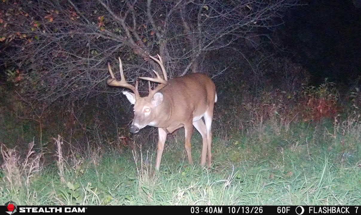
The farm is designed to appeal to serious hunters, with wooded draws creating natural travel corridors, bedding cover, and staging areas for mature whitetails. The property's mix of habitat and cover supports abundant wildlife, while an established food plot area provides an existing attraction source to help hold deer throughout the season. For buyers searching for affordable Iowa hunting land for sale, this tract offers a rare combination of recreation, income, and future improvement potential.

In addition to its recreational appeal, the property offers attractive building site potential in Decatur County, Iowa. Located along 215th Avenue (County Highway R40), the farm benefits from excellent road frontage and accessibility. Several open areas could accommodate a country home, hunting cabin, barndominium, or rural getaway, allowing buyers to enjoy the privacy and lifestyle of country living in Southern Iowa while maintaining direct access to quality hunting ground.

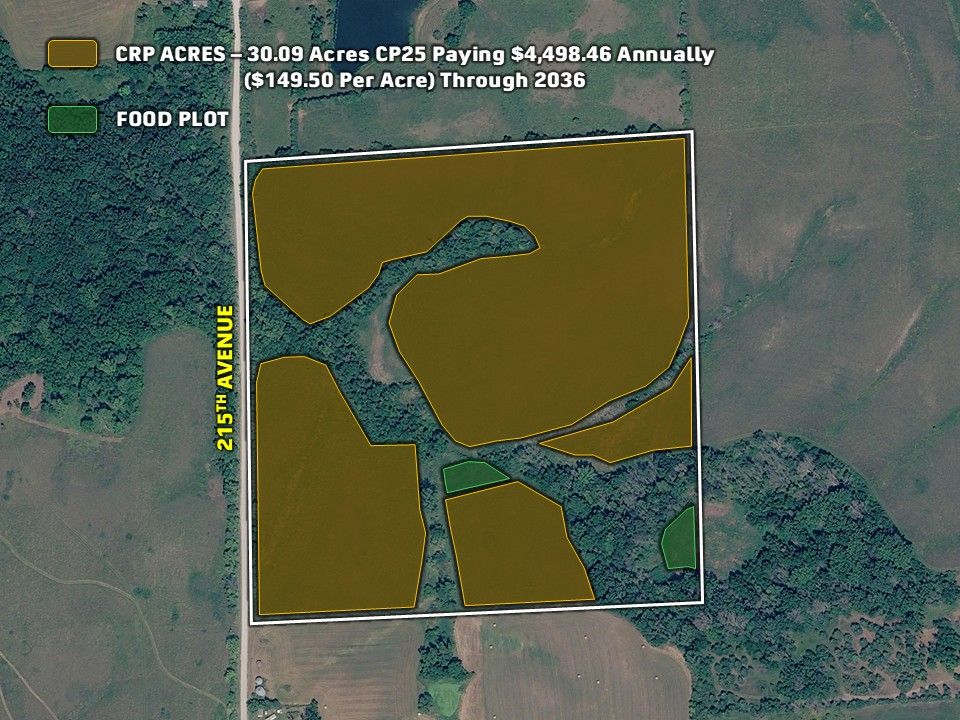
The property includes 30.09 acres enrolled in the Conservation Reserve Program (CRP) under CP25 through 2036, generating approximately $4,498.46 annually at a rental rate of $149.50 per acre. The CRP acres carry a CSR2 rating of 40.2, providing dependable annual income while enhancing wildlife habitat, soil conservation, and long-term land stewardship. For investors and outdoor enthusiasts alike, this represents an attractive opportunity to own income-producing recreational land in Iowa.

An additional 41 acres m/l is available directly east of the property, allowing buyers to expand their hunting acreage and recreational footprint. The tracts can be purchased separately or together, creating flexibility for buyers seeking Decatur County land for sale, Southern Iowa hunting land, CRP investment property, building site acreage, or recreational land with annual income potential.

Legal Description

The SW 1/4 of the NE 1/4 of Section 12, Township 70 North, Range 26 West, Long Creek Township, Decatur County, Iowa. Exact legal description to be taken from Abstract.

Directions

From Van Wert, Iowa: Travel west on East Line Street for approximately 0.1 mile, then turn right onto 215th Avenue. Continue for 0.6 mile, and the property will be located on the right-hand side of the road. 

Improvements

- Food Plot 
- CRP Income 
  • Parcel Number: 0212200003
  • School District: Clarke Community School District
  • General Area: North of Van Wert
  • Net Taxes: $318.00
  • Water: Rural
  • Zoning: Agriculture


Interactive Map

Use the Interactive Map to explore the property's regional location. Zoom in and out to see the property's surroundings and toggle various mapping layers on and off in the Map Layer Menu.


Downloads


Photos

Listing Photo: Photo Oct 18 2026, 7 43 26 AM Listing Photo: Photo Oct 18 2026, 7 40 30 AM Listing Photo: Photo Oct 18 2026, 7 46 55 AM Listing Photo: 1b Listing Photo: 1s Listing Photo: 1x Listing Photo: 4 Listing Photo: 3 Listing Photo: 1sd Listing Photo: 2 Listing Photo: Photo Oct 19 2026, 10 39 29 AM (1) Listing Photo: Photo Oct 19 2026, 10 39 29 AM (2) Listing Photo: Photo Oct 19 2026, 10 39 29 AM (3) Listing Photo: Photo Oct 19 2026, 10 39 29 AM (4) Listing Photo: Photo Oct 19 2026, 10 39 29 AM (5) (1) Listing Photo: Photo Oct 19 2026, 10 39 29 AM (5) Listing Photo: Photo Oct 19 2026, 10 39 29 AM (6) Listing Photo: Photo Oct 19 2026, 10 39 29 AM (7) Listing Photo: Photo Oct 19 2026, 10 39 29 AM (8) (1) Listing Photo: Photo Oct 19 2026, 10 39 29 AM (8) Listing Photo: Photo Oct 19 2026, 10 39 29 AM (9) Listing Photo: Photo Oct 19 2026, 10 39 29 AM (10) Listing Photo: Photo Oct 19 2026, 10 39 29 AM (11) Listing Photo: Photo Oct 19 2026, 10 39 29 AM (12) Listing Photo: Photo Oct 19 2026, 10 39 29 AM (13) (1) Listing Photo: Photo Oct 19 2026, 10 39 29 AM (13) Listing Photo: Photo Oct 19 2026, 10 39 29 AM (14) (1) Listing Photo: Photo Oct 19 2026, 10 39 29 AM (14) Listing Photo: Photo Oct 19 2026, 10 39 29 AM (15) (1) Listing Photo: Photo Oct 19 2026, 10 39 29 AM (15) Listing Photo: Photo Oct 19 2026, 10 39 29 AM (16) (1) Listing Photo: Photo Oct 19 2026, 10 39 29 AM (16) Listing Photo: Photo Oct 19 2026, 10 39 29 AM (17) Listing Photo: Photo Oct 19 2026, 10 39 29 AM (18) (1) Listing Photo: Photo Oct 19 2026, 10 39 29 AM (18) Listing Photo: Photo Oct 19 2026, 10 39 29 AM Listing Photo: Newer (4) Listing Photo: Muche - CRP Map Listing Photo: Newer (6) Listing Photo: Newer (7)