Clarke County, IA
127.00 Acres M/L
3152 Ray Street
Woodburn, IA 50275
Price | $635,000 |
Listing | #15416 |
Property Info
Description
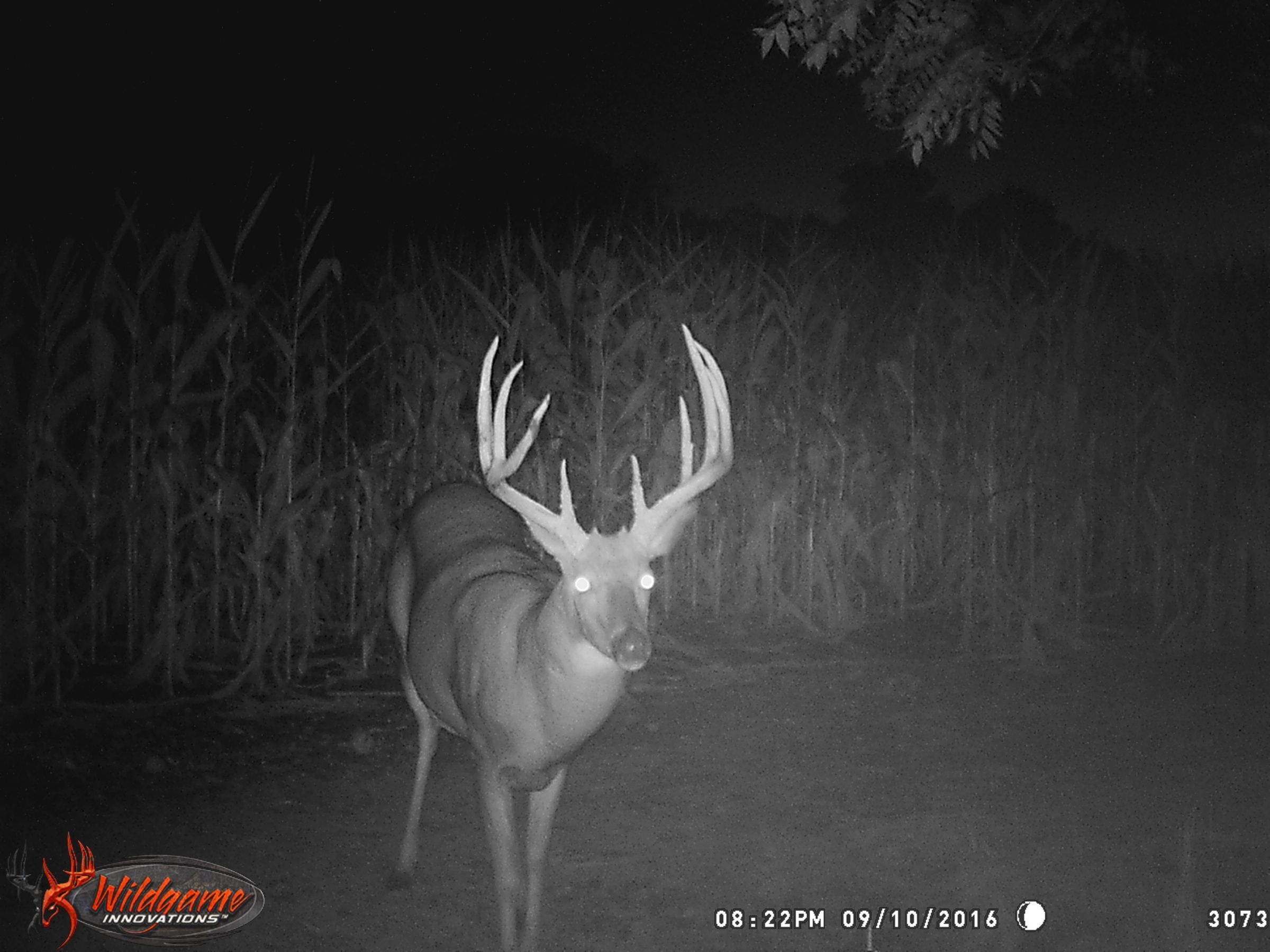
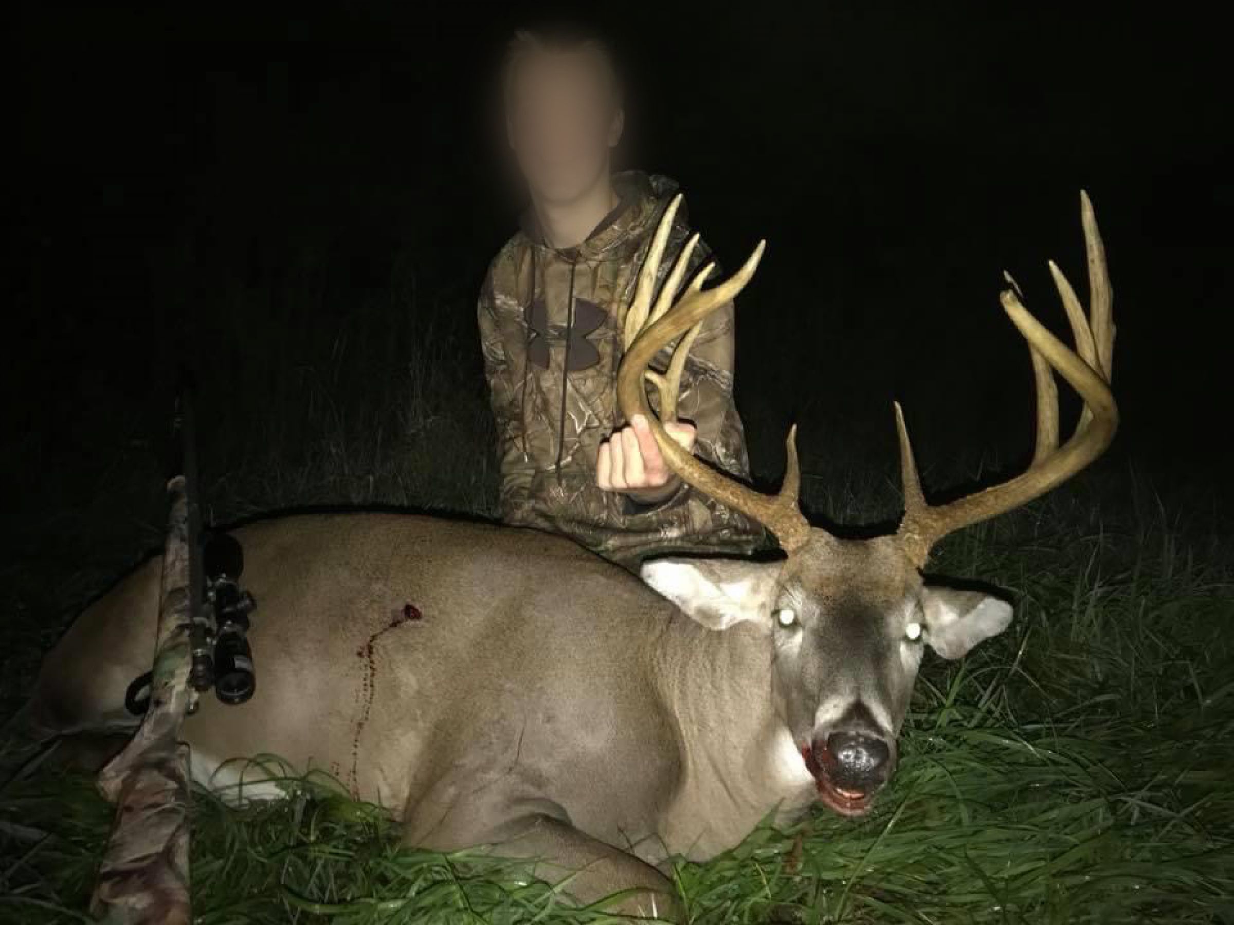
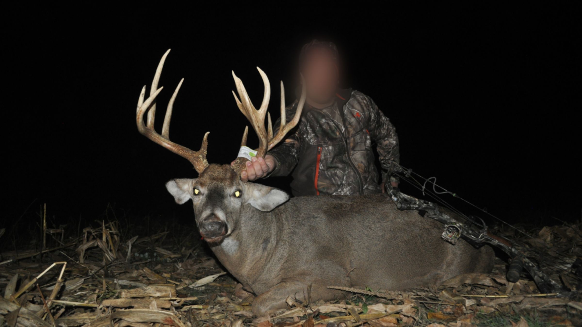
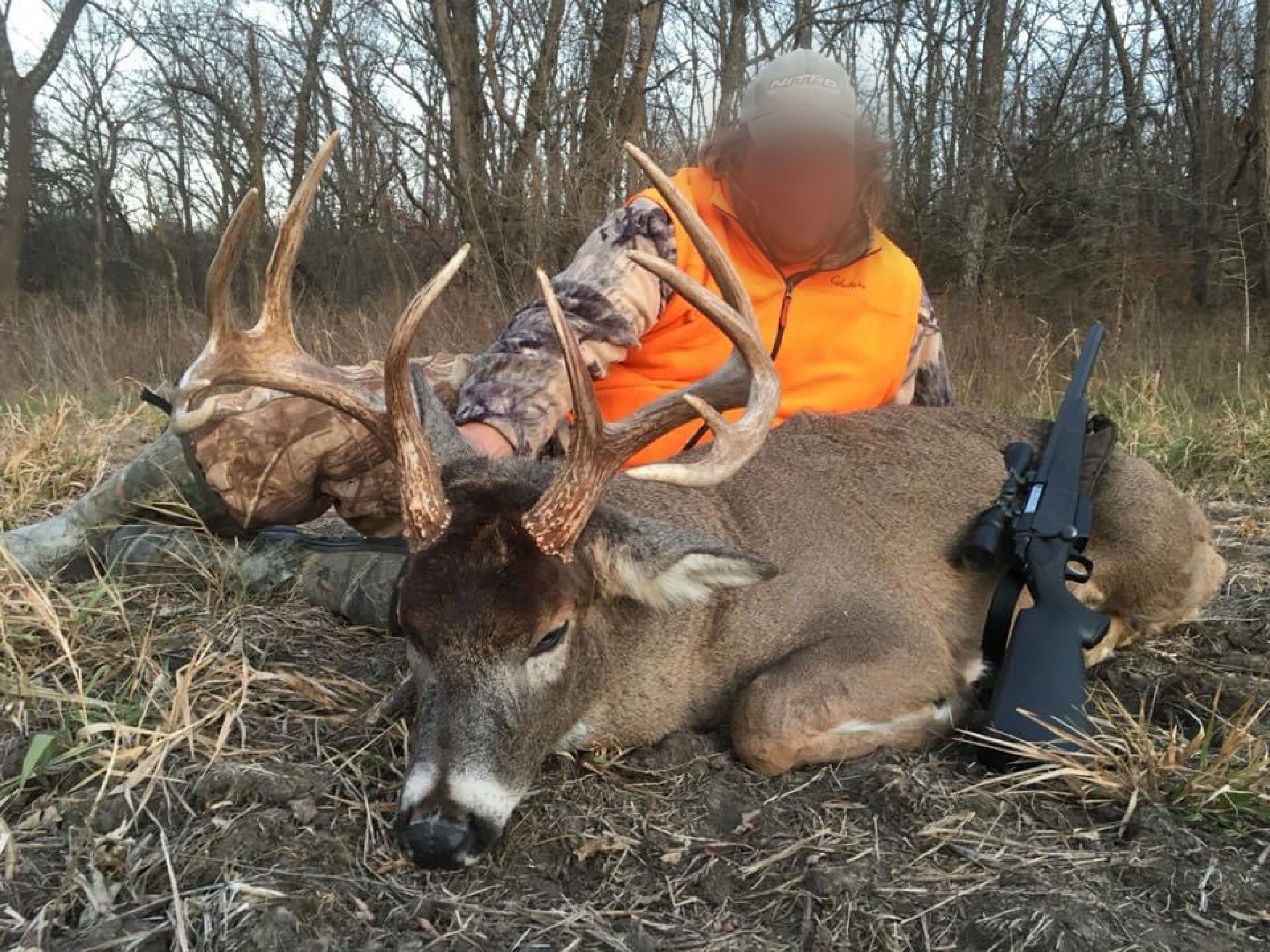
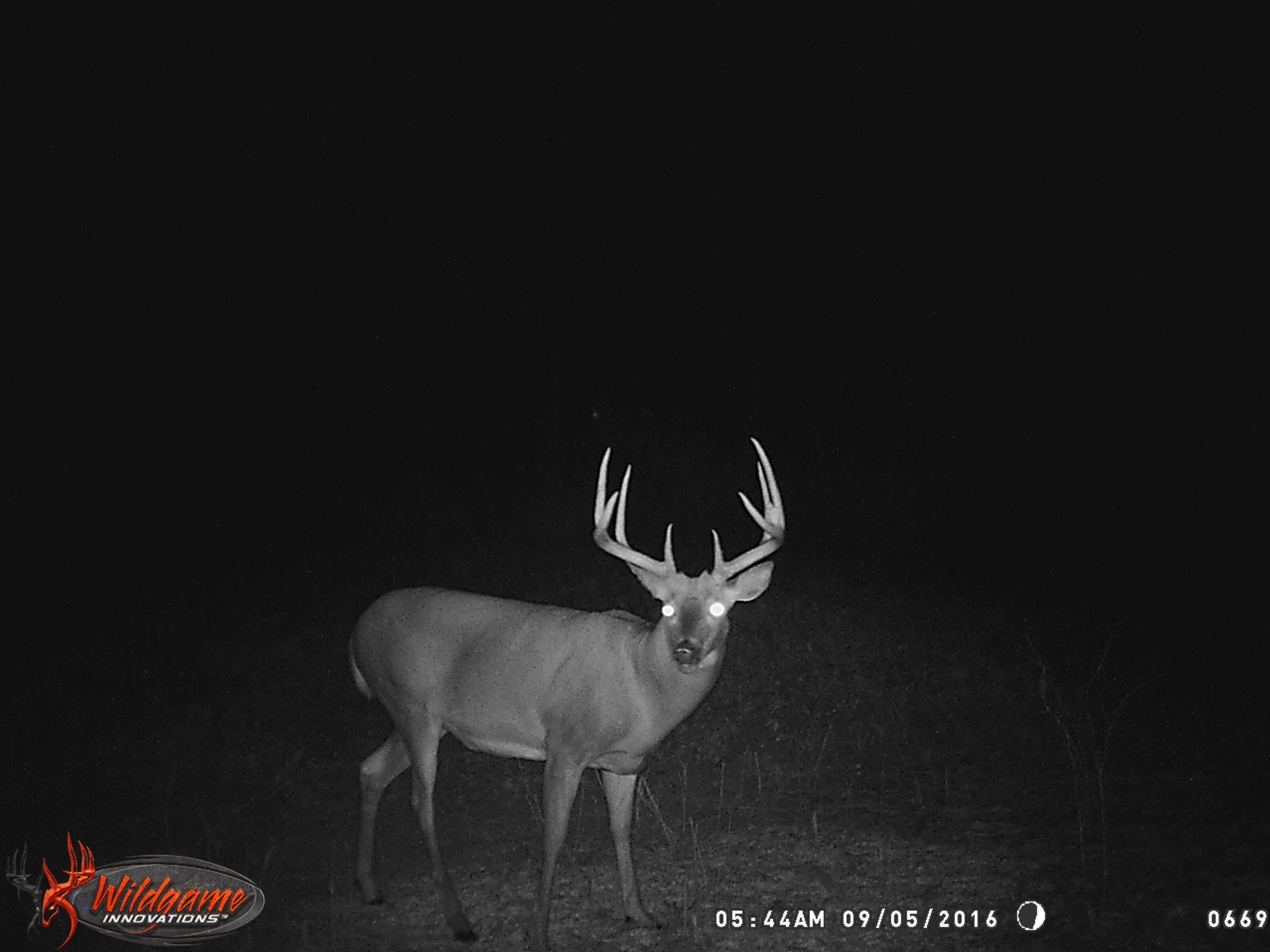
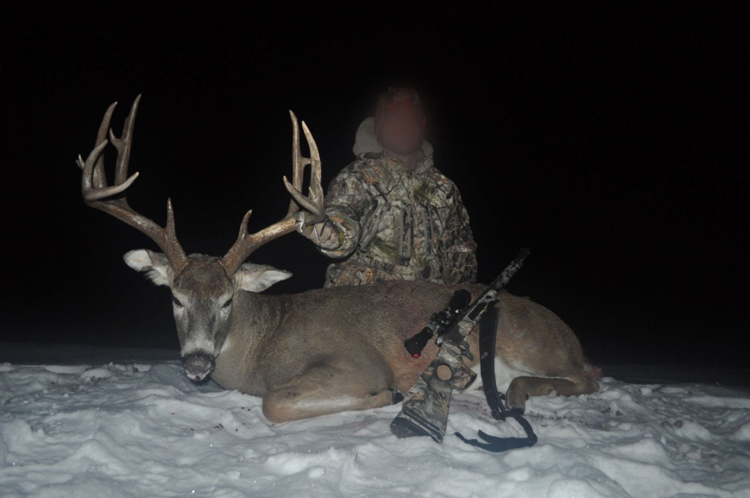
Top shelf hunting properties like this rarely hit the open market! This remote 325 acres m/l is situated in the heart of big whitetail country along the Otter Creek Corridor in northeastern Clarke County. Highly maintained and manicured, this property includes miles of mowed trails along with multiple box blinds and tree stands that are placed in strategic locations throughout the farm (See Attached Trail Map). Countless hours of sweat equity and nearly a decade of strict management practices have yielded a trophy whitetail mecca that most hunters can only dream about. Multiple high-caliber bucks have called this farm home, including a 214-inch gross B&C buck named “Can Opener”. This property not only has the ability to grow mature whitetails but also provides excellent opportunities to harvest those older age-class bucks on a consistent basis.
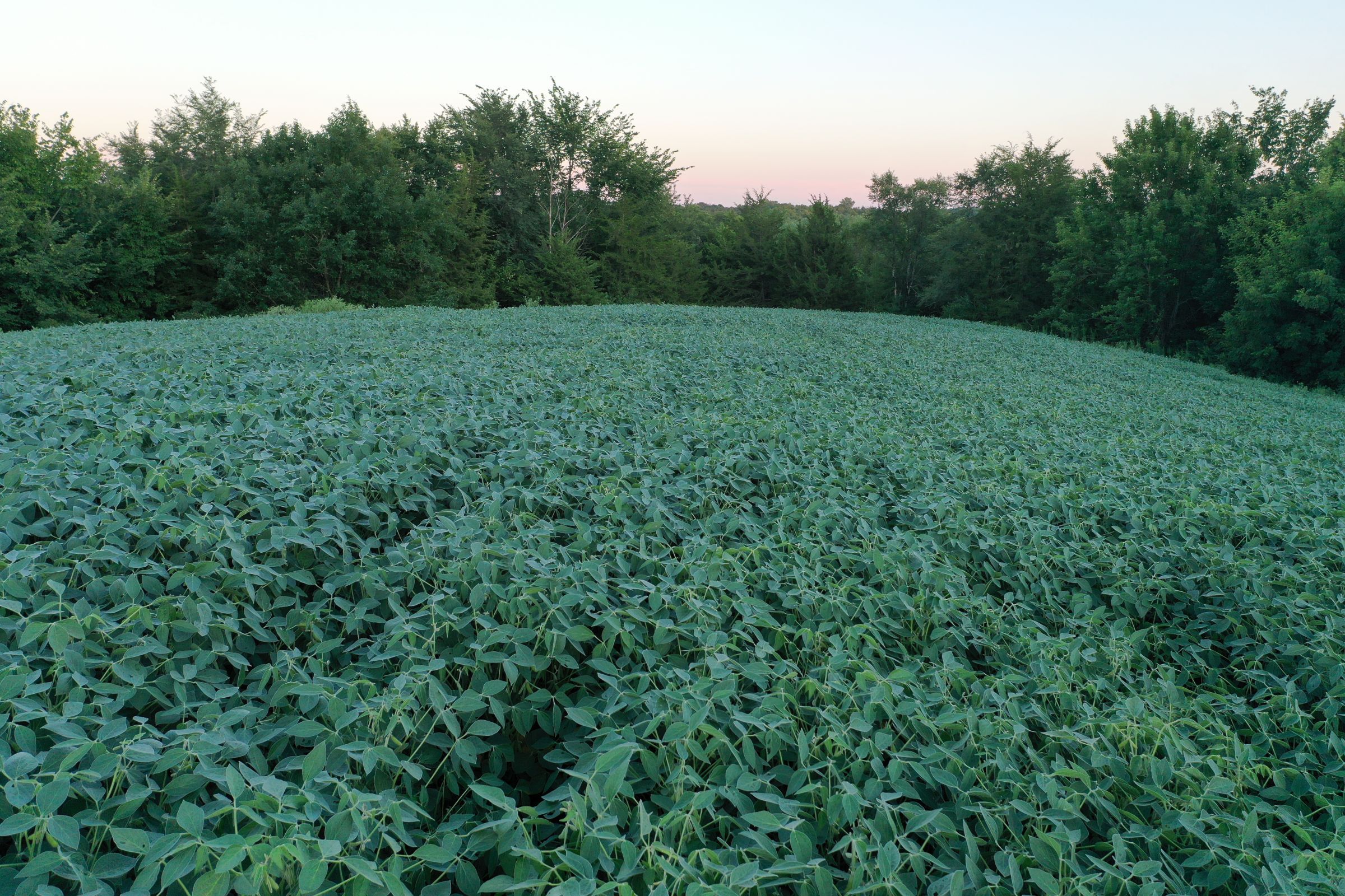
There are approximately 68.13 FSA tillable acres carrying a CSR2 of 62.3. The current owner has enrolled 25.21 acres m/l into the Conservation Reserve Program (CRP) this year. The contract includes CRP practices CP2 & CP12 with an annual payment of $2,924 or $116 per acre (See Attached CRP Map). Primary soil types include Lawson and Mystic-Caleb loam. Ample food sources, diverse cover, and plentiful water sources provide a sanctuary supporting a strong population of deer, turkey, upland game birds, and waterfowl. Otter Creek meanders through the property with three separate rock crossings, allowing easy access to the entire farm.
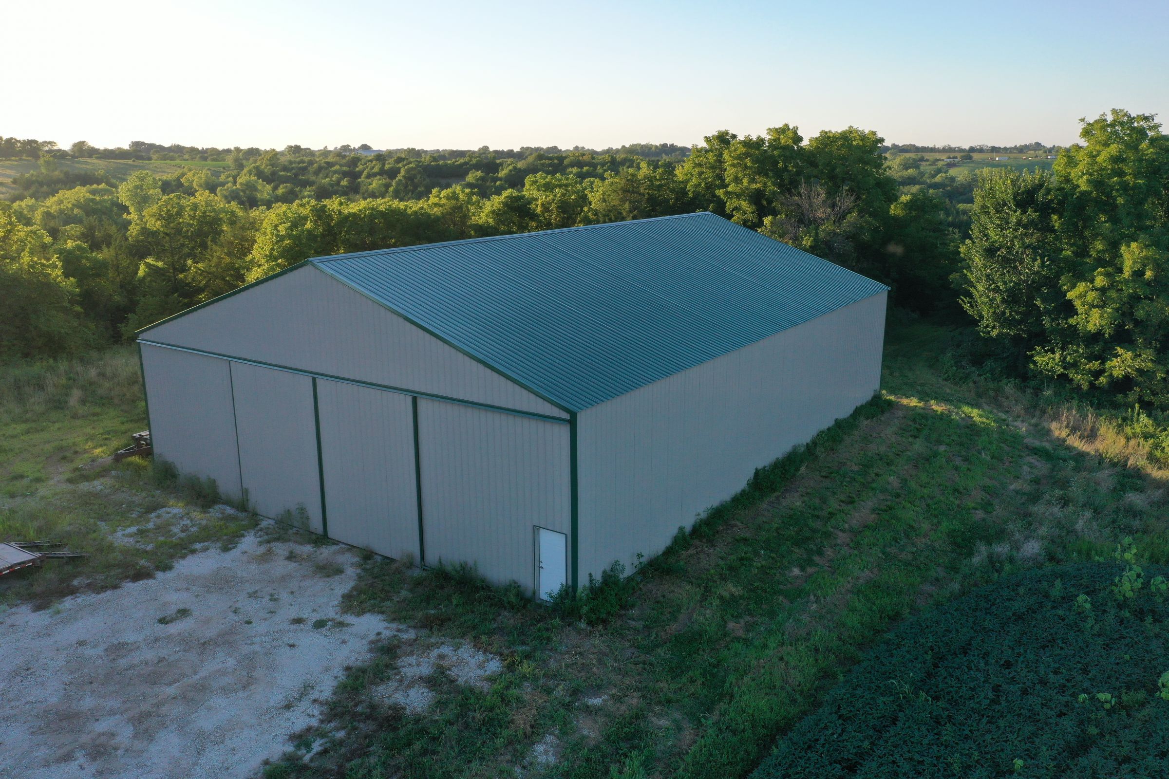
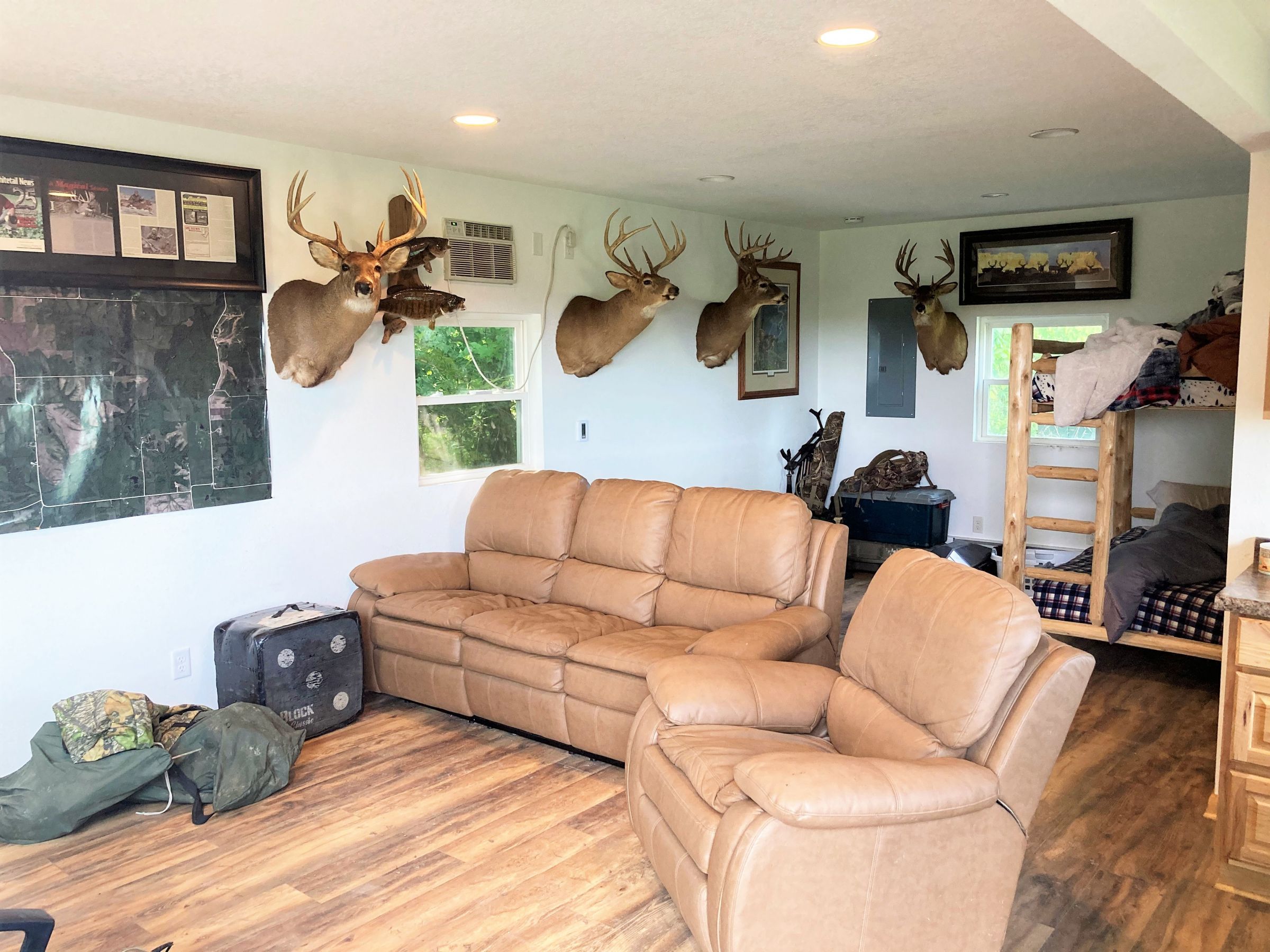
The property also features an updated 18’ x 24’ Cabin, 60' x 80' Post-Frame Building, and a one-acre stocked pond. There is a 30' wide easement allowing access to the Cabin from Ray Street. Electric service is provided through Clarke Electric Cooperative and rural water is serviced through SIRWA with a 1.5" line. Property is located in Sections 10, 11, 14 & 15 of Liberty Township 45 minutes from the Des Moines International Airport.
Take advantage of this rare opportunity to turn a dream into a reality!
Legal Description
The Northeast Quarter (NE 1/4) of the Southeast Quarter (SE 1/4) and the East Half (E 1/2) of the Northwest Quarter (NW 1/4) of the Southeast Quarter (SE 1/4) in Section 10; and the Southwest Quarter (SW 1/4) of the Southwest Quarter (SW 1/4) of Section 11; and the North 14 acres of the Northwest Quarter (NW 1/4) of the Northwest Quarter (NW 1/4) of Section 14; and the Northeast Quarter (NE 1/4) of the Northeast Quarter (NE 1/4) and the West Half (W 1/2) of the Northeast Quarter (NE 1/4) AND part of the Southeast Quarter (SE 1/4) of Section 15, Township 73 North, Range 24 West of the 5th P.M., in Clarke County, Iowa. Exact legal description to be taken from the Abstract.
Directions
From Liberty, Iowa: Travel south out of Liberty on Scott Drive crossing US Highway 69. Turn left (E) on Scott Street for 1.7 miles before turning right (S) on 310th Avenue. Continue traveling south on 310th Avenue for one half mile until reaching Ray Street. Turn Left (E) on Ray Street for one-half mile and the entrance to the property will be located on the south side of the road and/or at the end of Ray Street. Look for the Peoples Company signs.
Improvements
18' x 24' Cabin (Electric & Rural Water Provided)
60' x 80' Post-Frame Building
7 - 6' x 6' Shadow Hunter Archery Blinds (10 ft. Legs)
3 - 5' x 5' Shadow Hunter Combo Blinds (8 ft. Legs)
1 - 4' x 6' Homemade Blind (8 ft. Legs)
20 +/- Hang-on Tree Stands (20 ft. Ladder Sticks)
75 ton of Class E rock was applied to each Otter Creek crossing.
* All Blinds / Tree Stands will be included with the property.
- Sign On Property: Yes
- MLS Number: 625362
- Parcel Number: 0315,11180, 11177, 03134, 03139, 03137, 03096, 03052, 03023, 03138, 03024, 13147
- School District: Clarke Community
- General Area: Southeast of Liberty, Iowa
- Net Taxes: $3,524.00
- CSR2: 62.30
- Water: Rural
- Zoning: Ag
Additional Info
**Please contact Listing Agent to schedule a private showing.
Interactive Map
Use the Interactive Map to explore the property's regional location. Zoom in and out to see the property's surroundings and toggle various mapping layers on and off in the Map Layer Menu.