Keith County, Nebraska Farmland Auction | 941± Acres Offered in 3 Tracts | Nov 20, 2026
Upcoming Auction
Keith County, NE
940.80 Acres M/L
940.80 Acres M/L
Highway 26
Brule, NE 69127
| Price | Click to Bid Online |
| Listing | #19865 |

Property Info
Description
Legal Description
Directions
- Parcel Number: 273503500, 264500900, 263303000
- General Area: Keith County
- Net Taxes: $5,884.00
- Zoning: Agriculture
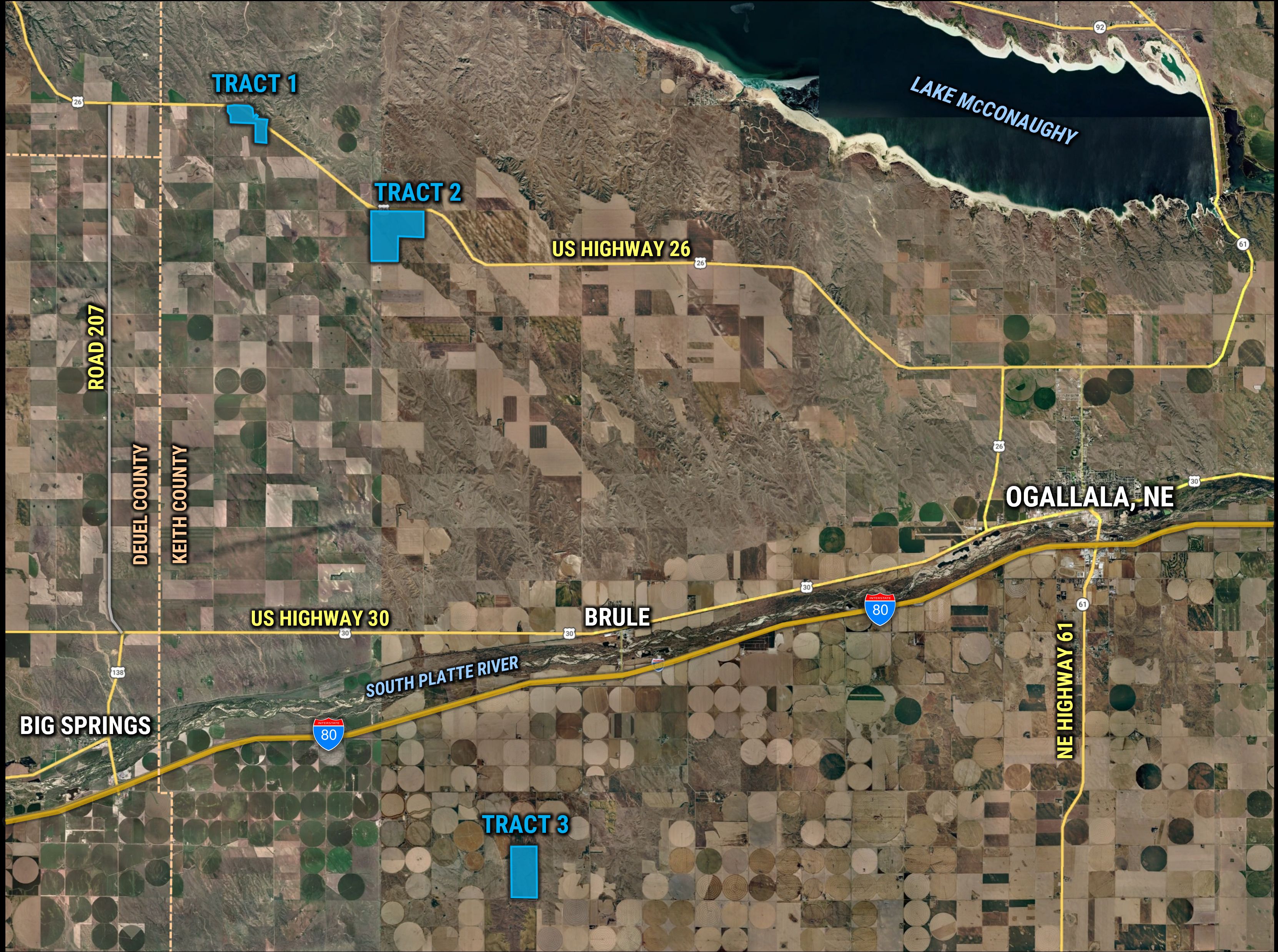
Interactive Map
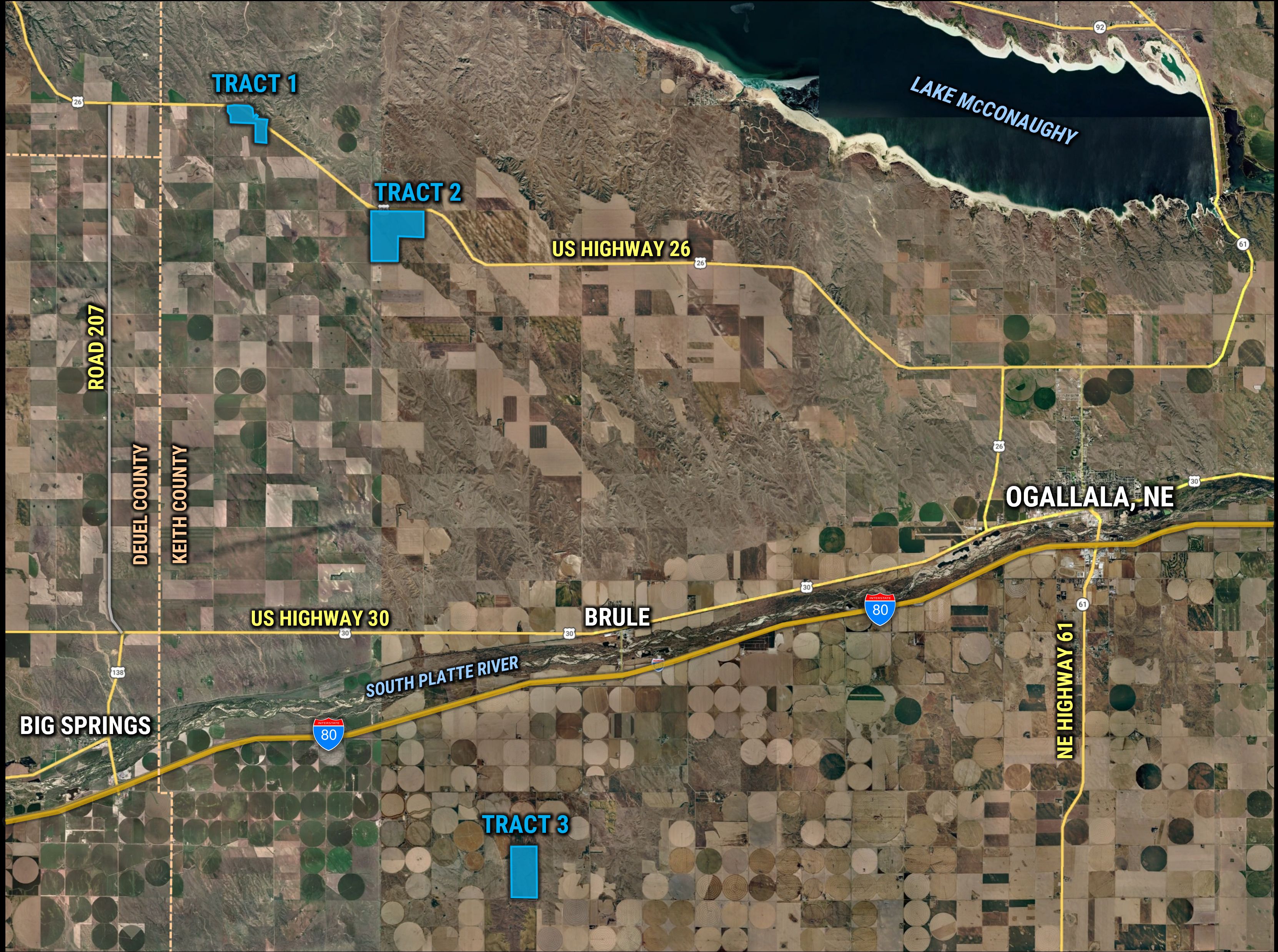
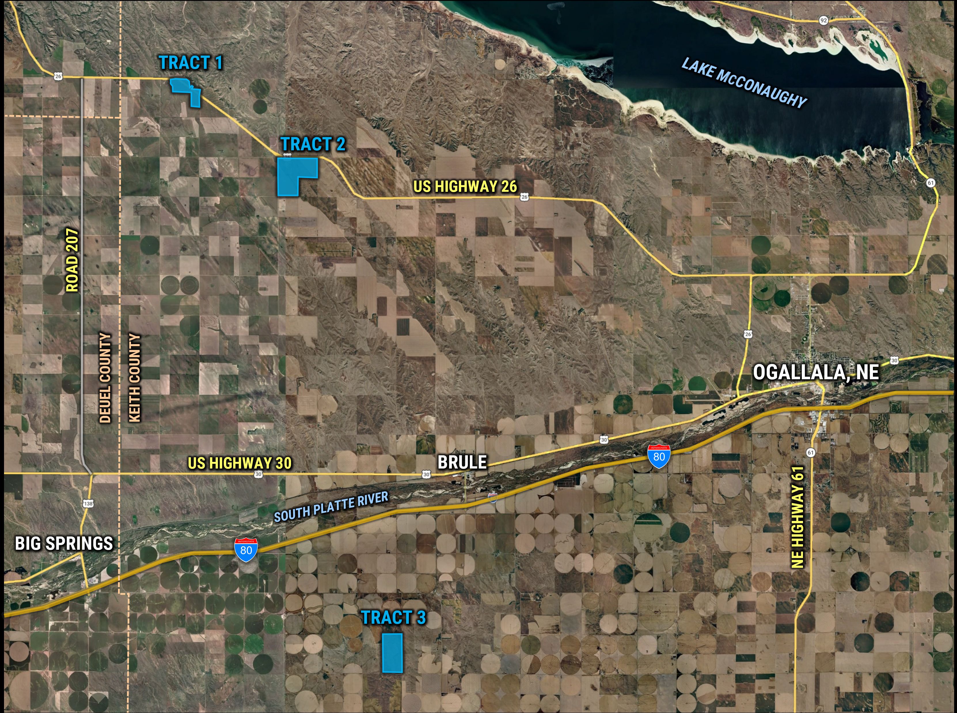
Use the Interactive Map to explore the property's regional location. Zoom in and out to see the property's surroundings and toggle various mapping layers on and off in the Map Layer Menu.
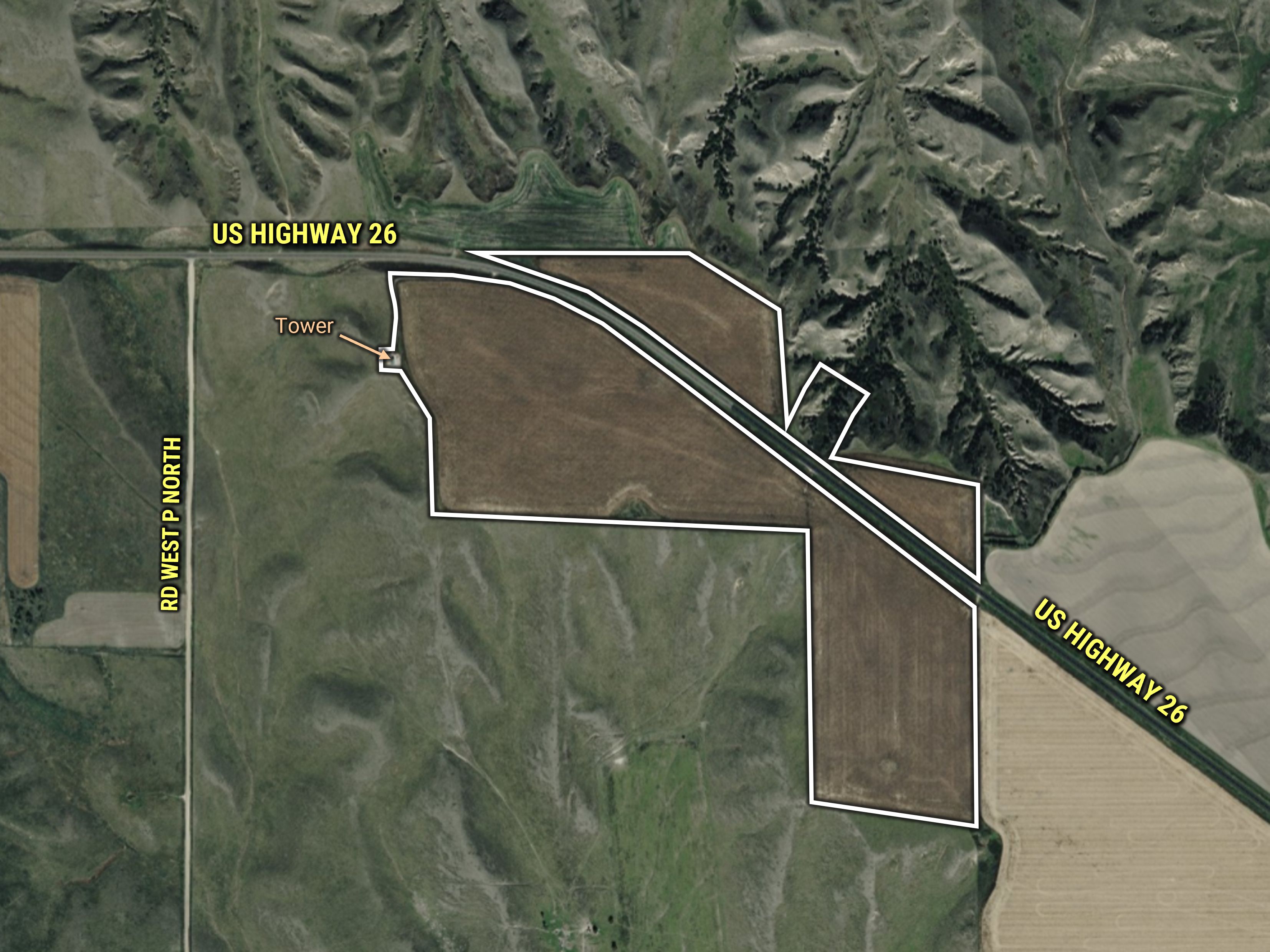
Tracts
Description
Legal Description
Details
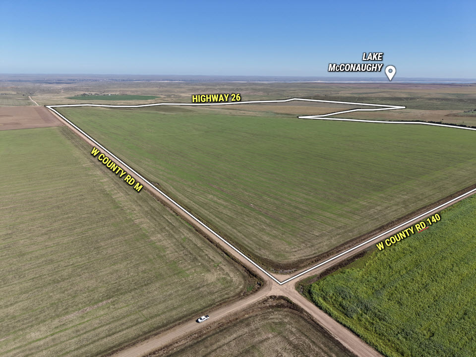
- Acres: 150.00 Acres M/L
- Parcel Number: 273503500; 273503504
- Net Taxes: $1,171.00
- NCCPI: 58.1
Directions
Description
Legal Description
Details
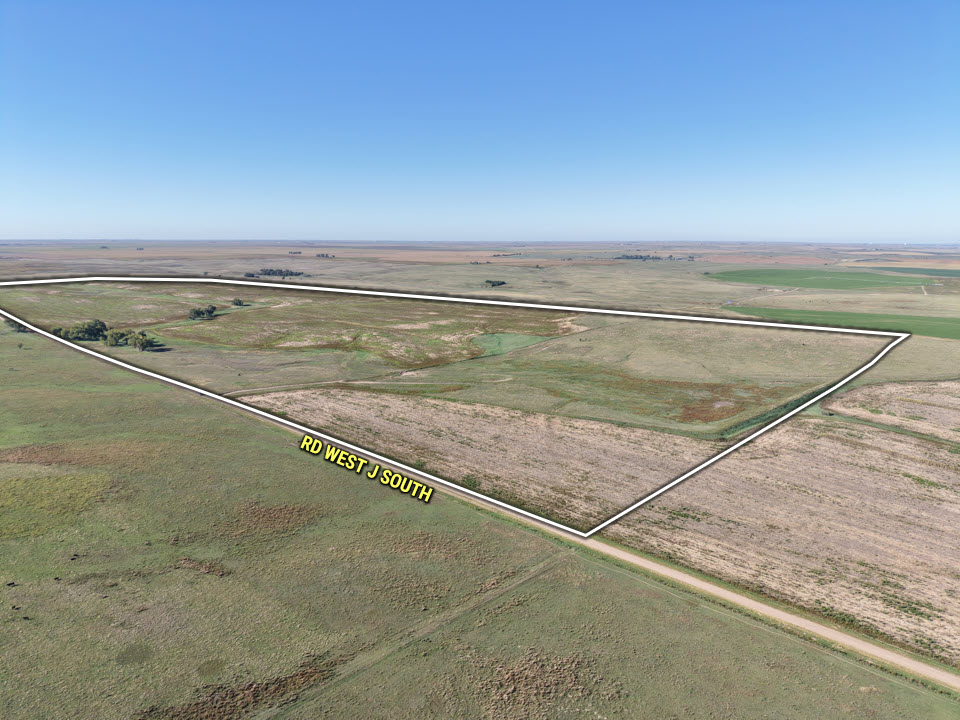
- Acres: 468.70 Acres M/L
- Parcel Number: 264500900
- Net Taxes: $2,658.50
- NCCPI: 49.4
Directions
Description
Legal Description
Details
- Acres: 322.10 Acres M/L
- Parcel Number: 263303000
- Net Taxes: $2,054.16
- NCCPI: 45.3
Directions
Bid Now
Auction Details & Terms
Keith County Online Only Land Auction
940.8 Acres, m/l offered in 3 Tracts
Bidding Ends: Friday, November 20, 2026 at 2:00 PM (MT)
940.8 Acres, m/l offered in 3 Tracts
Bidding Ends: Friday, November 20, 2026 at 2:00 PM (MT)
The Bidding is currently LIVE and remains open until 2:00 PM (MT) on Friday, November 20, 2026!
Auction Method
Offering 940.8 acres m/l of Keith County, NE farmland in three (3) individual tracts via a TIMED ONLINE ONLY auction WITH RESERVE where all bidding must be done online through Peoples Company's bidding application. A bid placed within 3 minutes of the scheduled close of the auction will extend bidding by 3 minutes until all the bidding is completed. The property will be offered in three (3) tracts; bidding will close on all tracts simultaneously. If you plan to bid, please register 24 hours prior to the close of the auction. If you are unable to bid online, accommodations can be made to participate in the auction by contacting the Listing Agent. Under no circumstances shall Bidder have any kind of claim against Peoples Company or its affiliates if the internet service fails to work correctly before or during the auction.
Online Bidding
Register to bid at http://peoplescompany.bidwrangler.com/. By using Peoples Company's online auction platform, bidders acknowledge that the Internet is known to be unpredictable in performance and may, from time to time, impede access, become inoperative, or provide a slow connection to the online auction platform. Bidders agree that Peoples Company nor its affiliates, members, officers, shareholders, agents, or contractors are, in any way, responsible for any interference or connectivity issues the bidder may experience when utilizing the online auction platform.
ALL BIDS WILL BE FOR PRICE PER ACRE
How to Bid
Open the Peoples Company auction you are interested in at PeoplesCompany.com. Click on any of the BID NOW icons within that auction. This will take you to our Online Bidding platform. Find the auction you wish to participate in and select it. To participate in that auction, click REGISTER TO BID. From there, you will need to create a bidder account. Once that is created, you can bid on any of our Online Auctions. Broker may request verification of funds or letter of approval from lenders; bidder approval is at the sole discretion of Broker.
Access to Data Room.
Peoples Company has set up an electronic data room (the “Data Room”) where prospective bidders may examine documents pertaining to the sale. The documents will include pro forma title insurance commitments and the form of the purchase contracts that each successful bidder will be required to sign immediately upon acceptance of the winning bid. If you wish to obtain access to the online Data Room, please contact Listing Agent.
Peoples Company has set up an electronic data room (the “Data Room”) where prospective bidders may examine documents pertaining to the sale. The documents will include pro forma title insurance commitments and the form of the purchase contracts that each successful bidder will be required to sign immediately upon acceptance of the winning bid. If you wish to obtain access to the online Data Room, please contact Listing Agent.
Agency
Peoples Company and its representatives are agents of the Seller; prospective bidders will be treated as a “customer” unless represented by a Buyer’s Agent, which must be identified on first contact to participate in a real estate commission and present at any showings of the property. If these conditions are not met, compensation to Buyer’s Agent, if any, will be at the sole discretion of Peoples Company.
Earnest Money Payment
An earnest money payment of 10% of the total purchase price is required upon conclusion of the auction. The earnest money payment may be paid in the form of check or wire transfer. All funds will be held by Thalken Title Company.
Contract & Title
Immediately upon conclusion of the auction, the high bidder(s) will enter into a purchase contract and deposit the required earnest money payment with Thalken Title Company. Seller to convey title by appropriate deed. Title insurance to be used as evidence of marketable title. The Seller shall furnish an owner’s title insurance policy in an amount equal to the purchase price; cost of title premium shall be split equally between Seller and Buyer. Any mortgagee title insurance policy required by Buyer or Buyer’s lender shall be at Buyer’s expense. Title commitments are available for review in the DATA ROOM prior to the auction.
Closing
Closing will occur on or before Wednesday, December 30, 2026. The balance of the purchase price plus any respective closing costs will be payable at closing in the form of good funds (guaranteed check, or wire transfer). Closing will be conducted by Thalken Title Company and the closing service fee(s) shall be equally divided between Seller and Buyer.
Financing
The Buyer's obligation to purchase the property is unconditional and is not contingent upon obtaining financing. Any financial arrangements are to be made before bidding at the auction. By the mere act of bidding, the bidder makes a representation and warrants that the bidder has the present ability to pay the price and fulfill the terms and conditions provided in the Contract.
Disclosures
Upon conclusion of the auction, successful bidder(s) agrees to sign all applicable disclosures, including, but not limited to: Seller’s Land Disclosure and Agency Disclosure. All disclosures are available for review in the DATA ROOM prior to the auction.
Farm Program Information
Farm Program Information is provided by the Keith County Farm Service Agency. The figures stated in the marketing material are the best estimates of the Seller and Peoples Company; however, Farm Program Information, base acres, total crop acres, conservation plan, etc. are not guaranteed.
Possession
Possession of the property will be given upon closing and delivery of deed, subject to acres currently planted to winter wheat (see GROWING CROP).
Growing Crop
Seller will retain all winter wheat currently planted and shall pay Buyer cash rent for these acres (see Tract Description for amounts), which will be credited to Buyer, at closing. Buyer will receive possession in 2027 after completion of the wheat crop.
Conservation Reserve Program
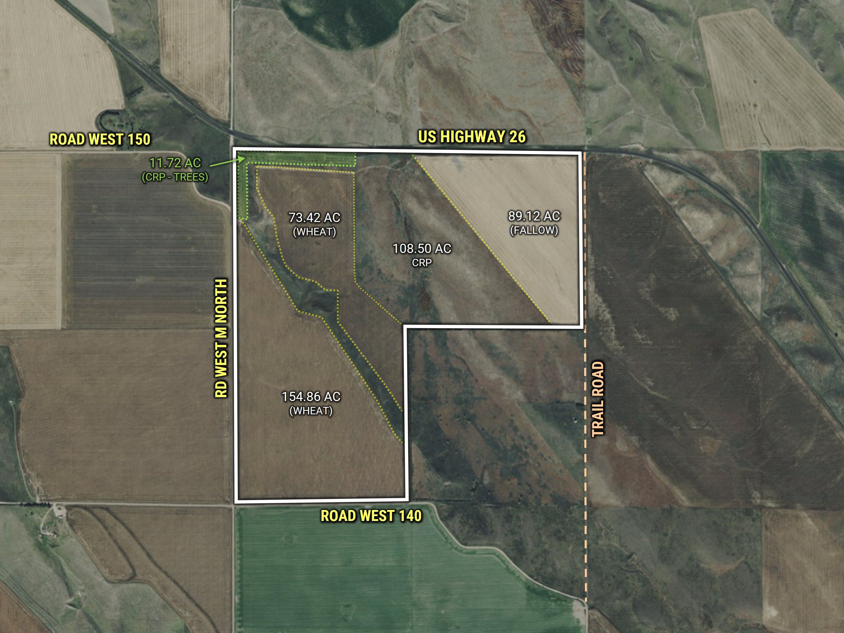
Seller to convey all right, title, and interest to the existing CRP contract(s) #11131A (108.50 ac) & #11079A (11.72 ac), to the Buyer as successor in interest (TRACT 2). Seller to convey 100% of the October 2027 CRP payment. Buyer assumes responsibility of the maintenance of the CRP acres, the obligations of the CRP contract, and agree to enter into new CRP contract within 60 days after the closing. Buyer assumes responsibility of the costs and penalties if Buyer chooses to terminate the existing contract.
Mineral Rights
No mineral title opinion will be obtained or provided, and ownership of the Property’s mineral interests is not guaranteed. Seller will convey all oil, gas, and other mineral interests owned by Seller in, on, or under the premises, if any.
Real Estate Taxes
Seller will pay all of the 2026 real estate taxes, at closing; Buyer will be responsible for 100% of the 2027 real estate taxes.
Other
Buyer willfully acknowledges that they have performed their due diligence before bidding and this sale is subject to all easements, covenants, leases, and restrictions of record. All property is sold on an "As is – Where is" basis with no warranties, expressed or implied, made by the Auctioneer, Peoples Company, or Seller.
Disclaimer
All property boundaries are presumed to be accurate according to the best available information and knowledge of the Seller and Peoples Company. Overall acres and other property characteristics may vary from the figures stated within the marketing material. Buyer shall perform his/her own investigation of the property prior to bidding at the auction. The brief legal descriptions in the marketing material should not be used in legal documents. Full legal descriptions will be taken from the title commitment.
Photos
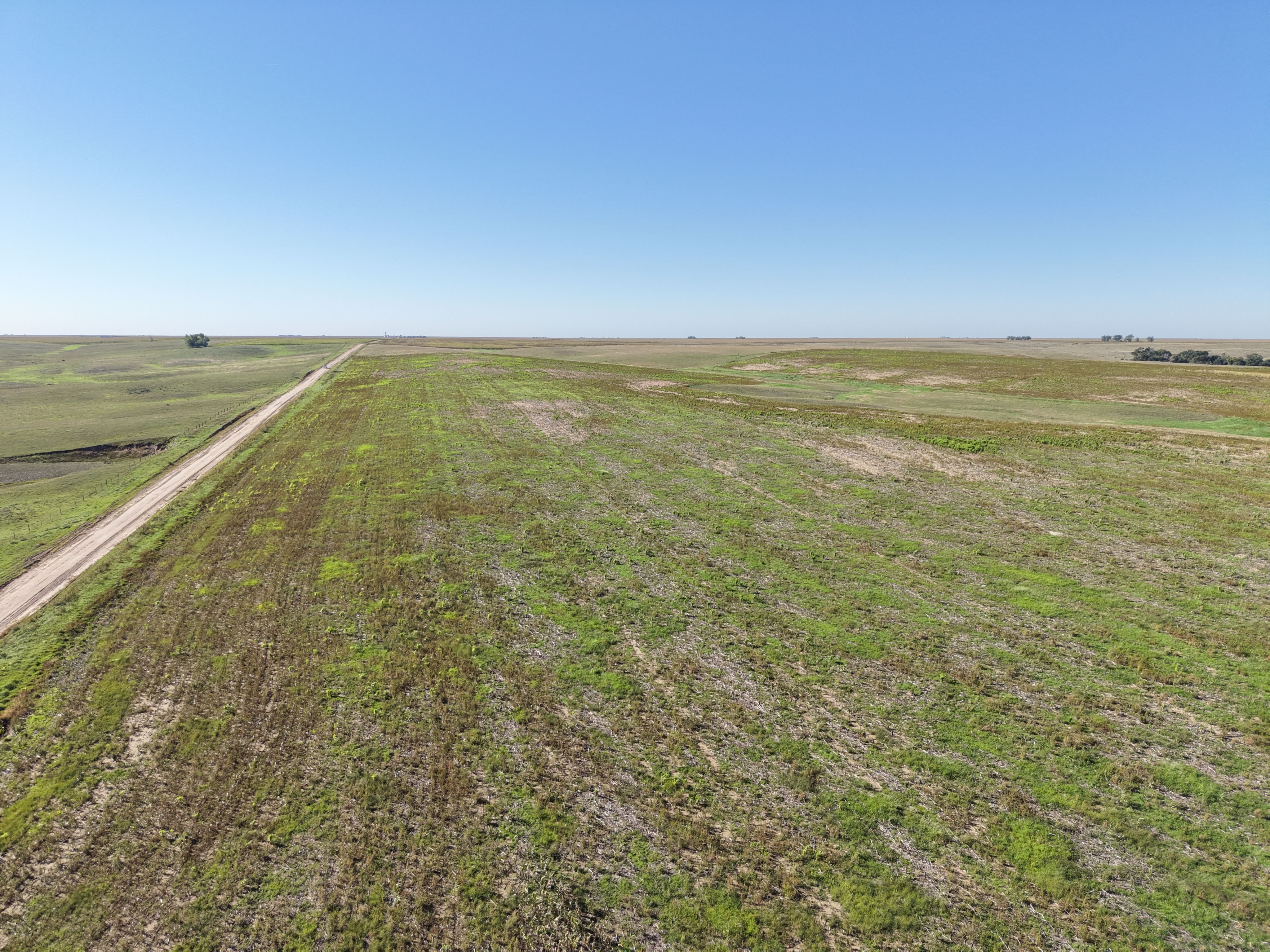
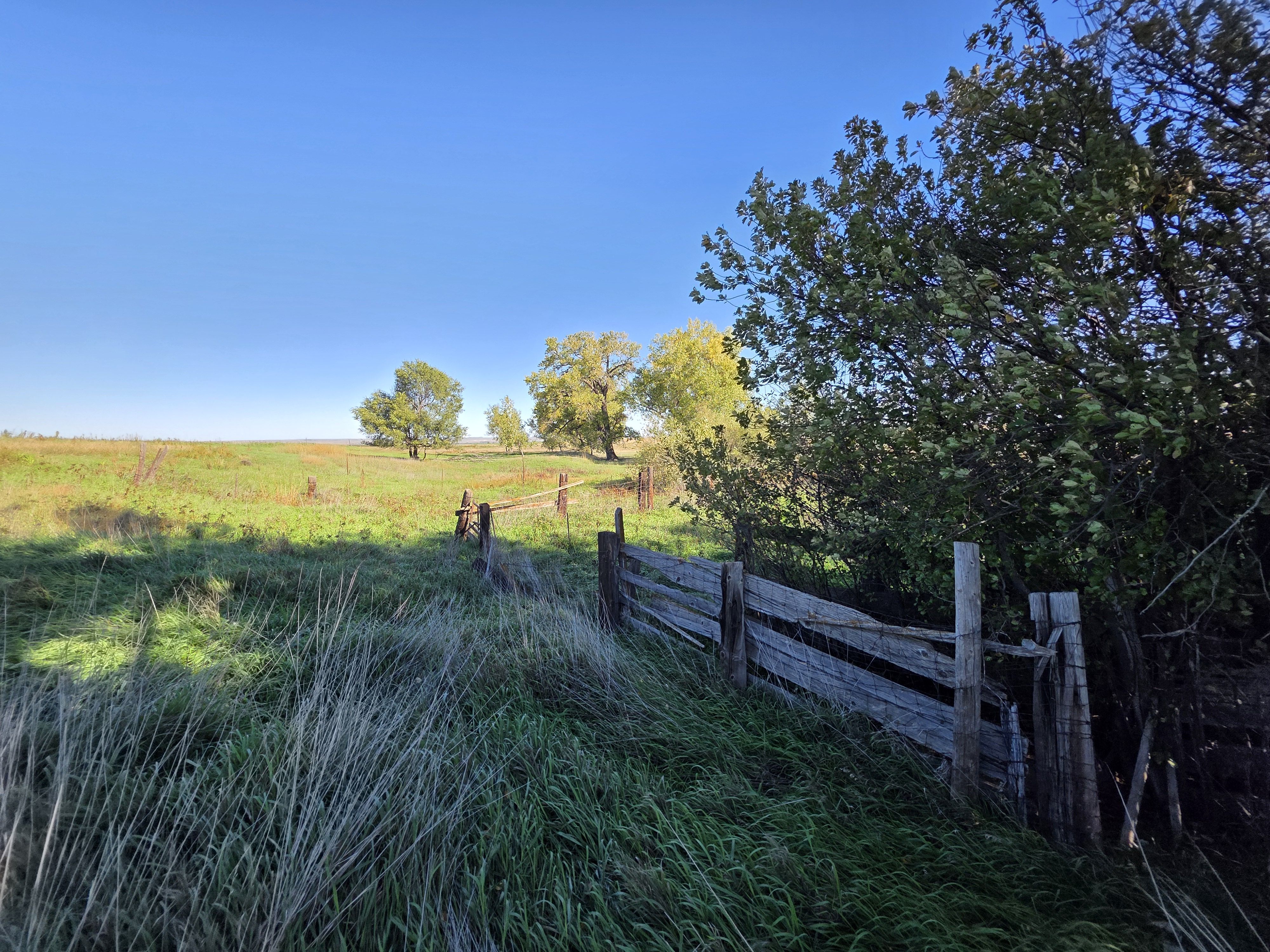
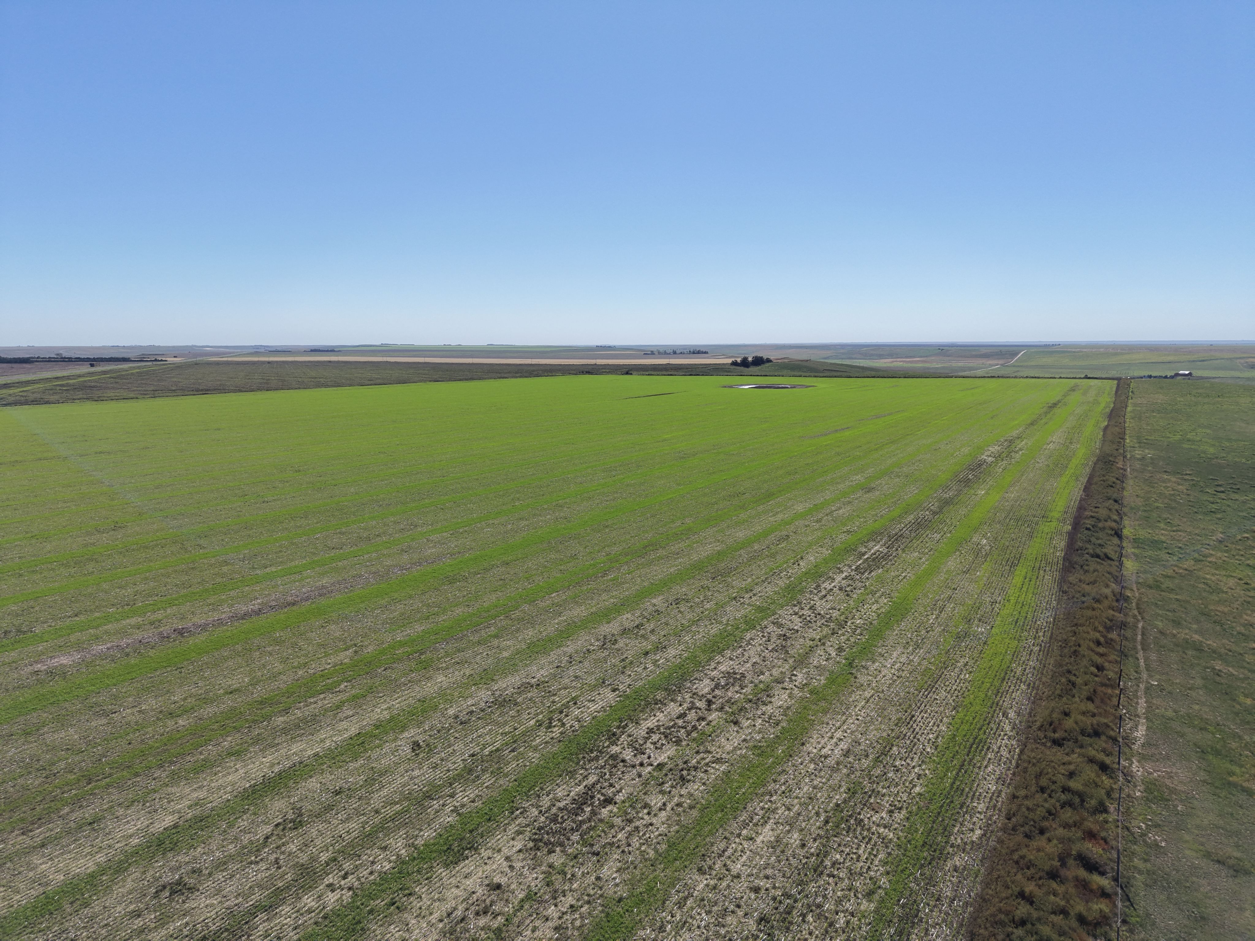
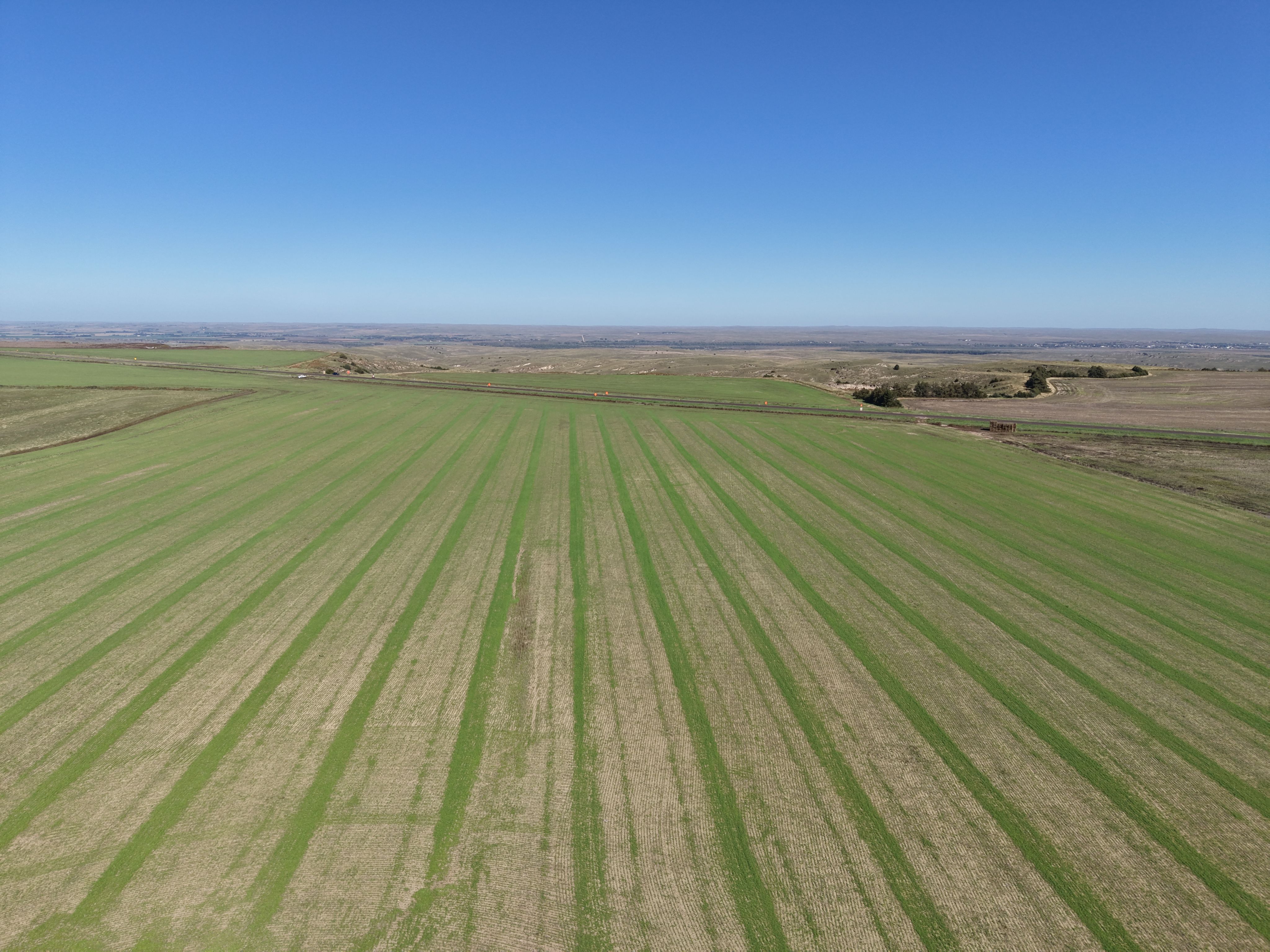
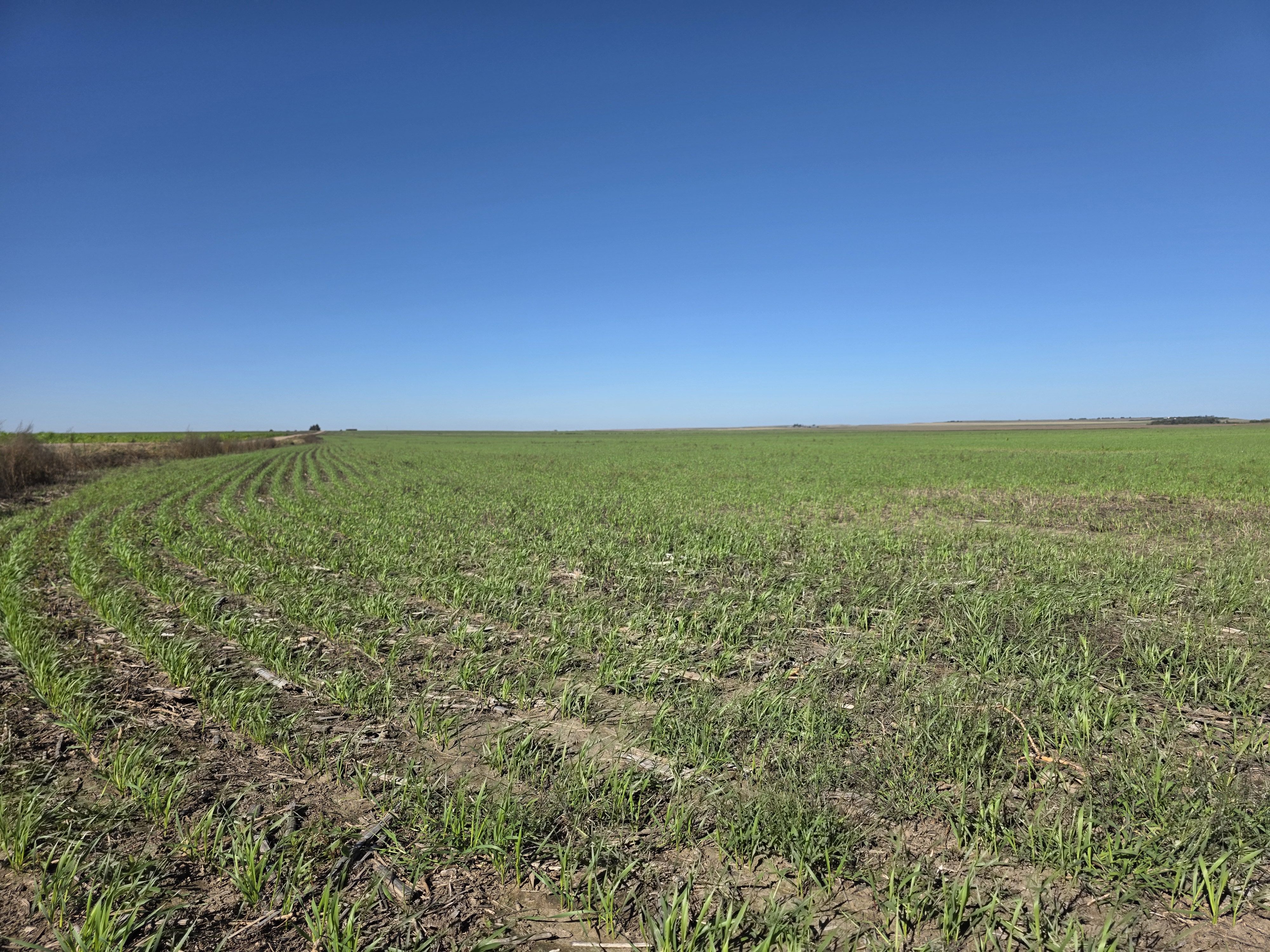
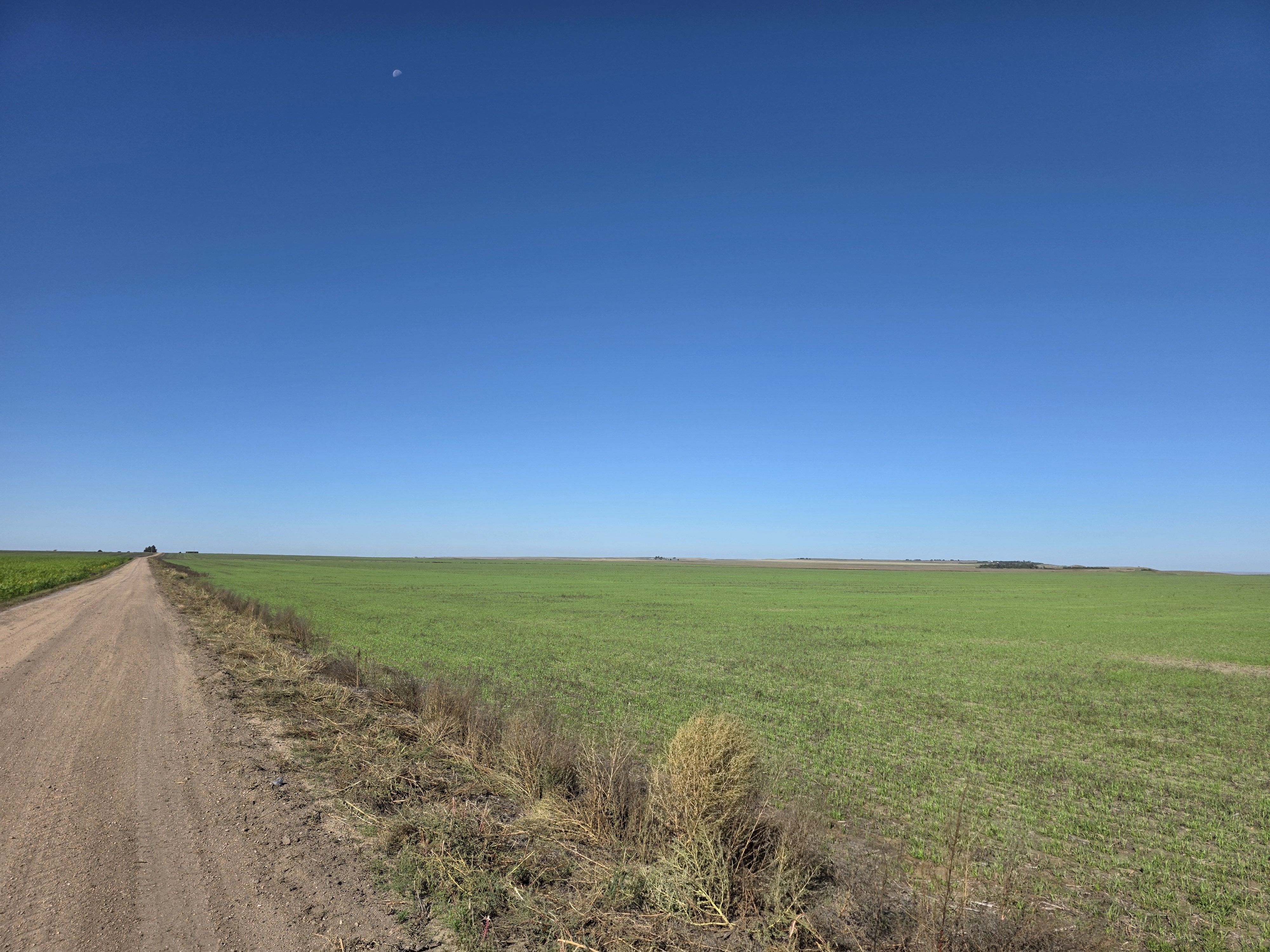
Tract 1 Photos
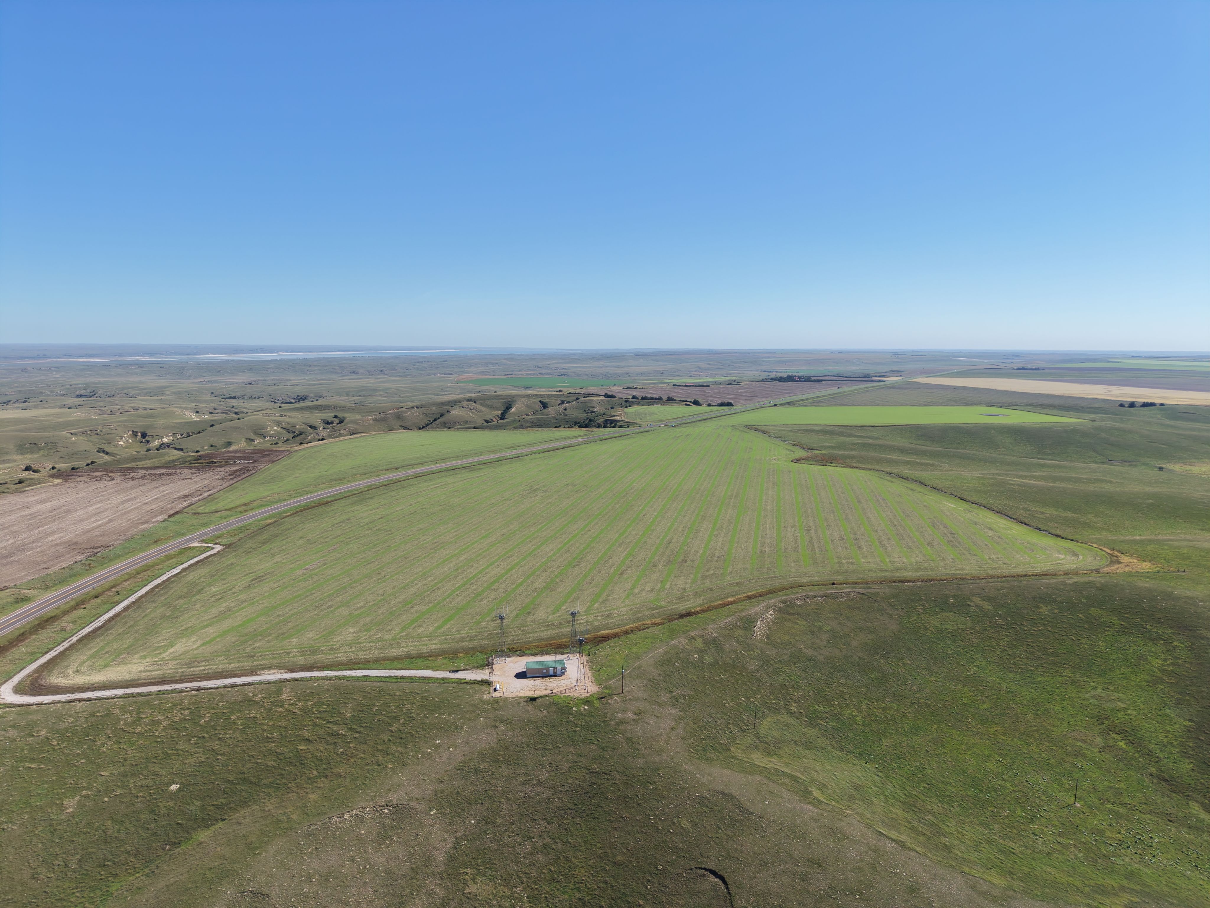
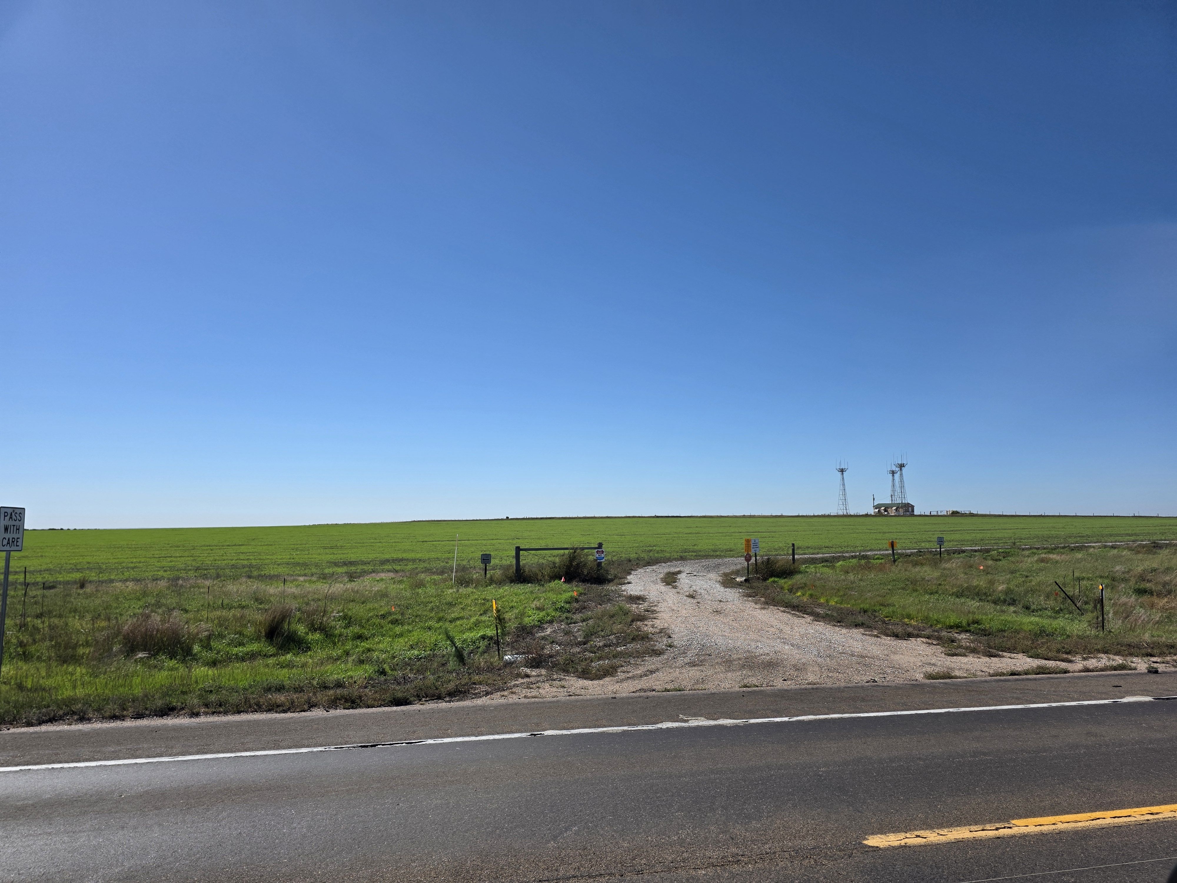
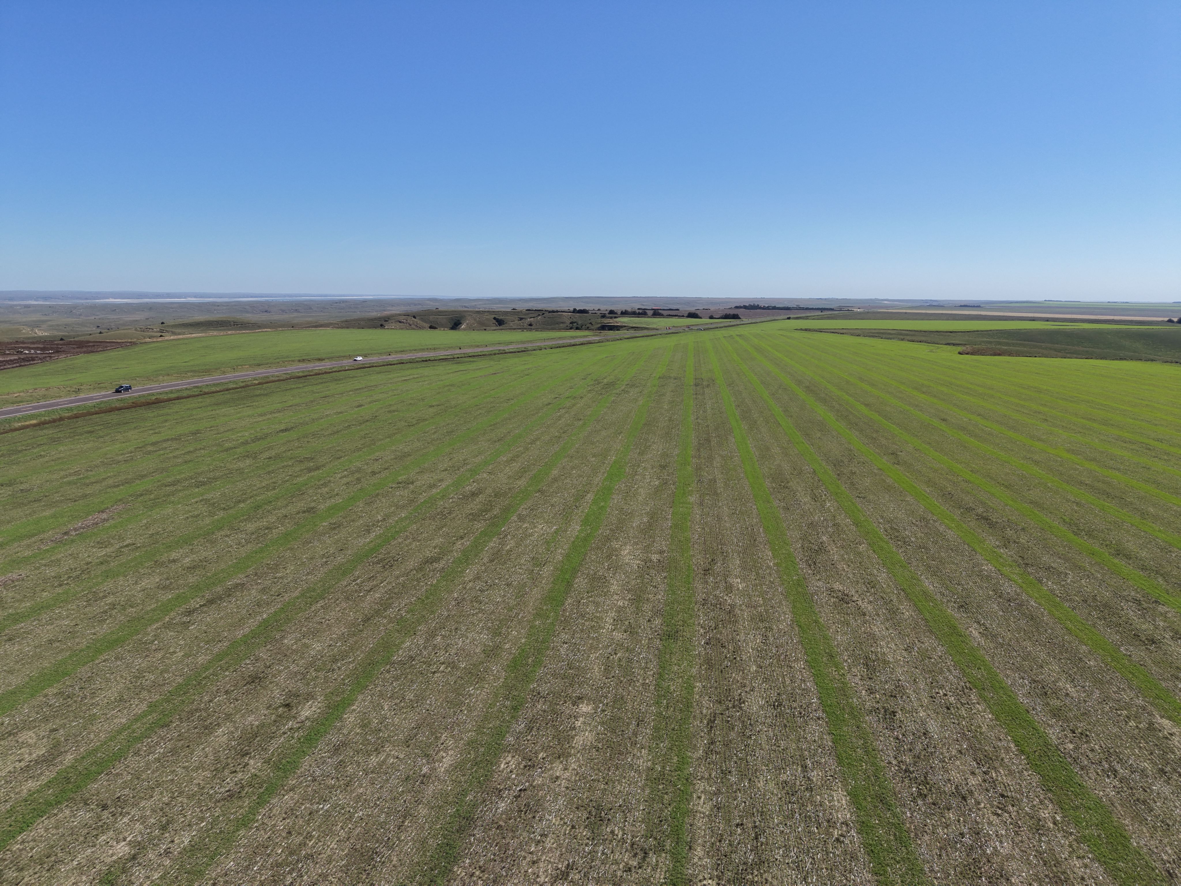
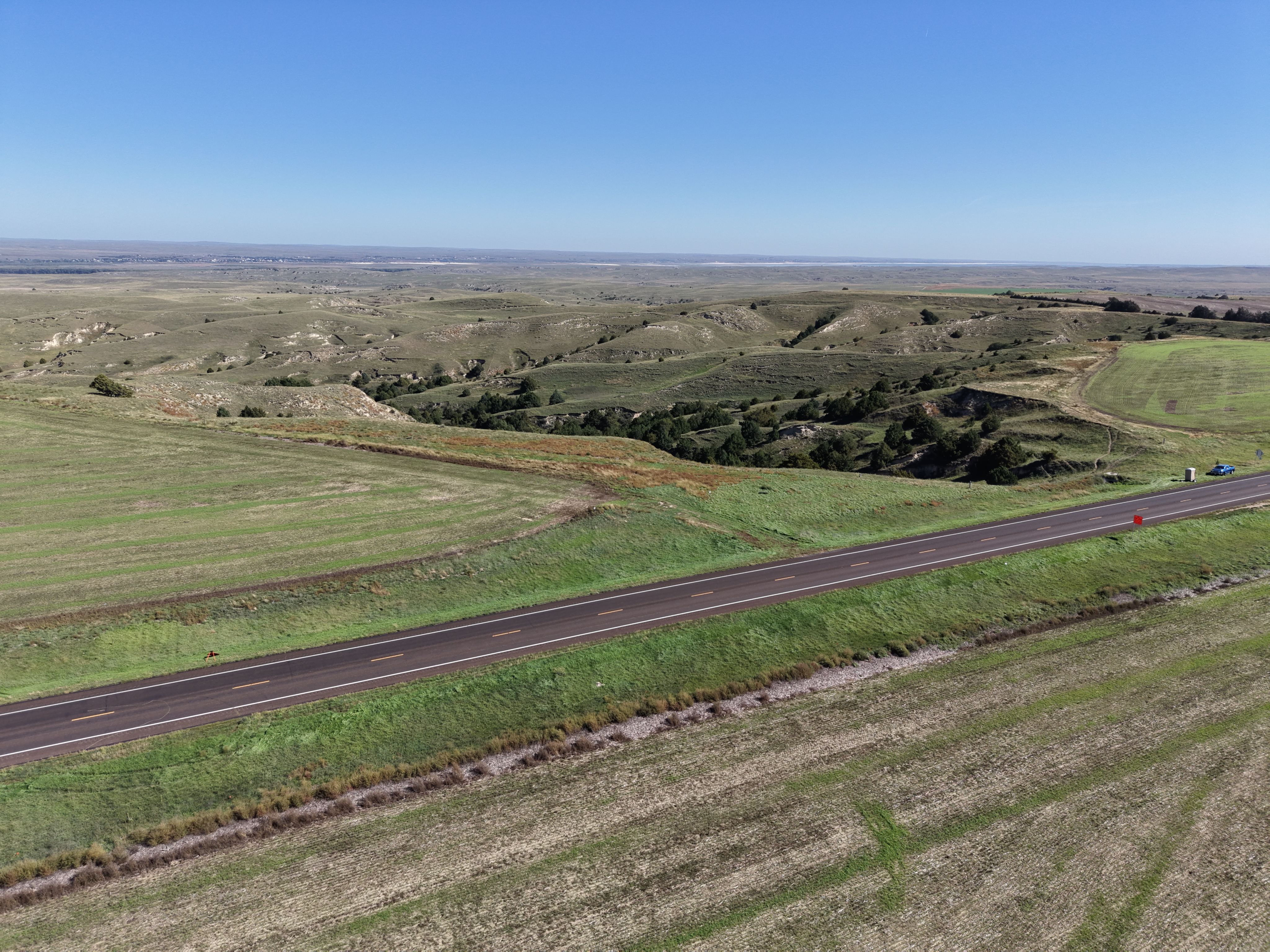
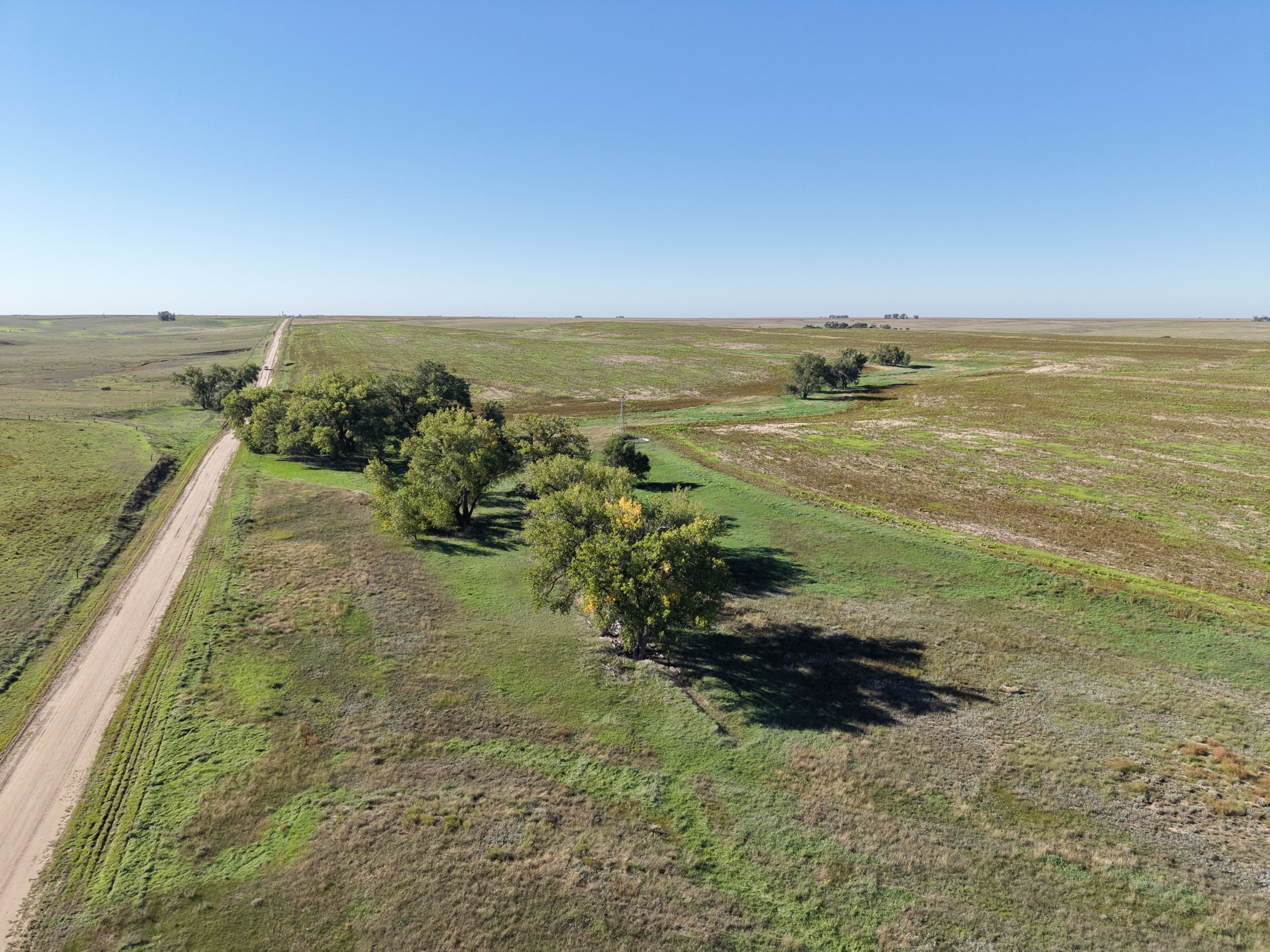
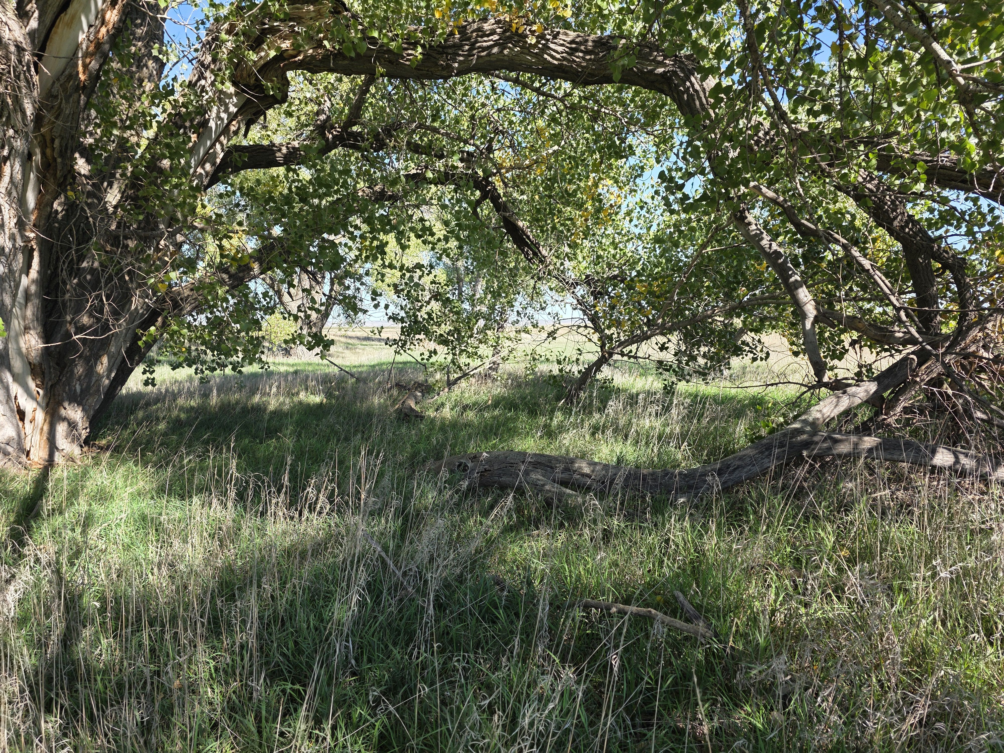
Tract 2 Photos
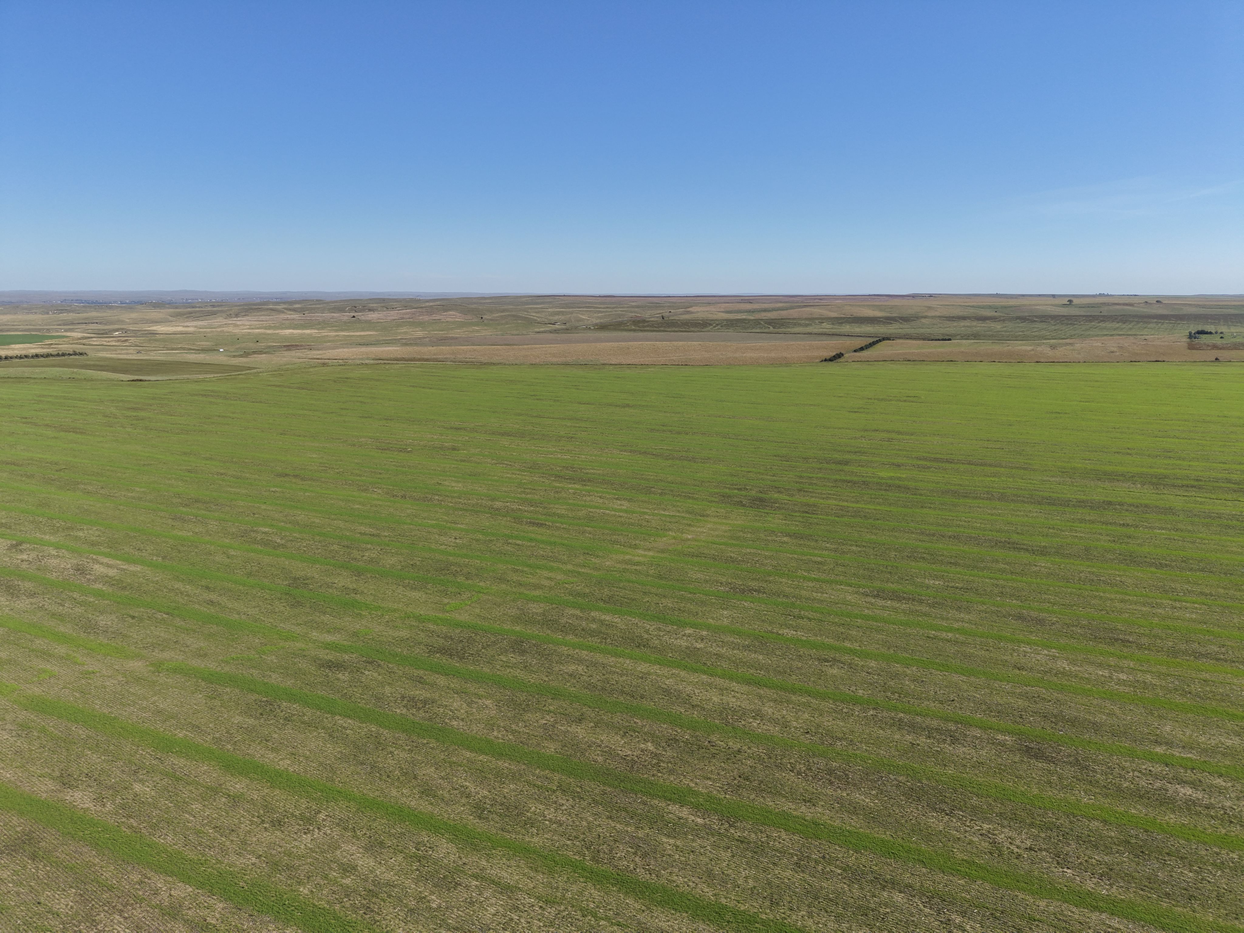
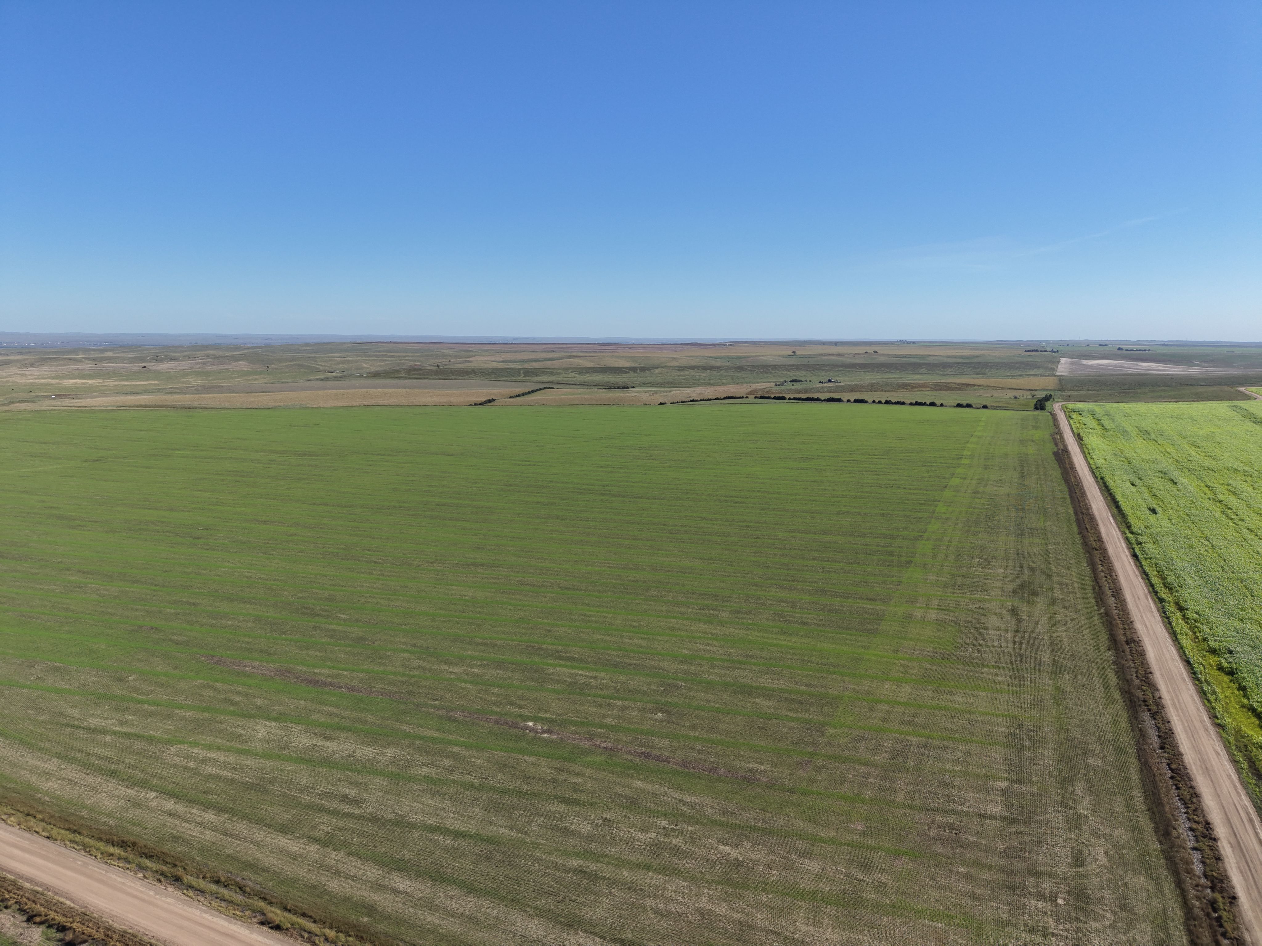
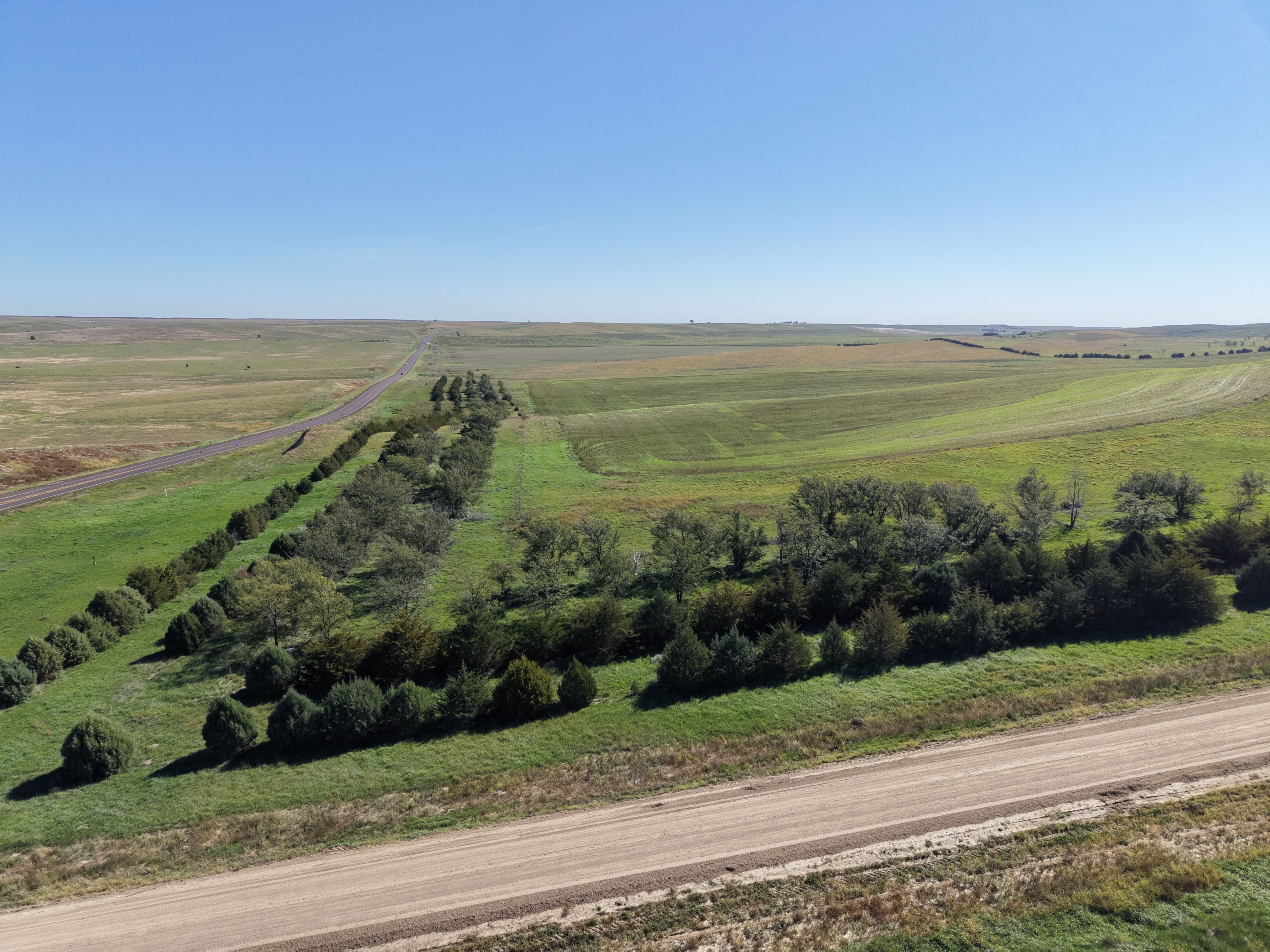
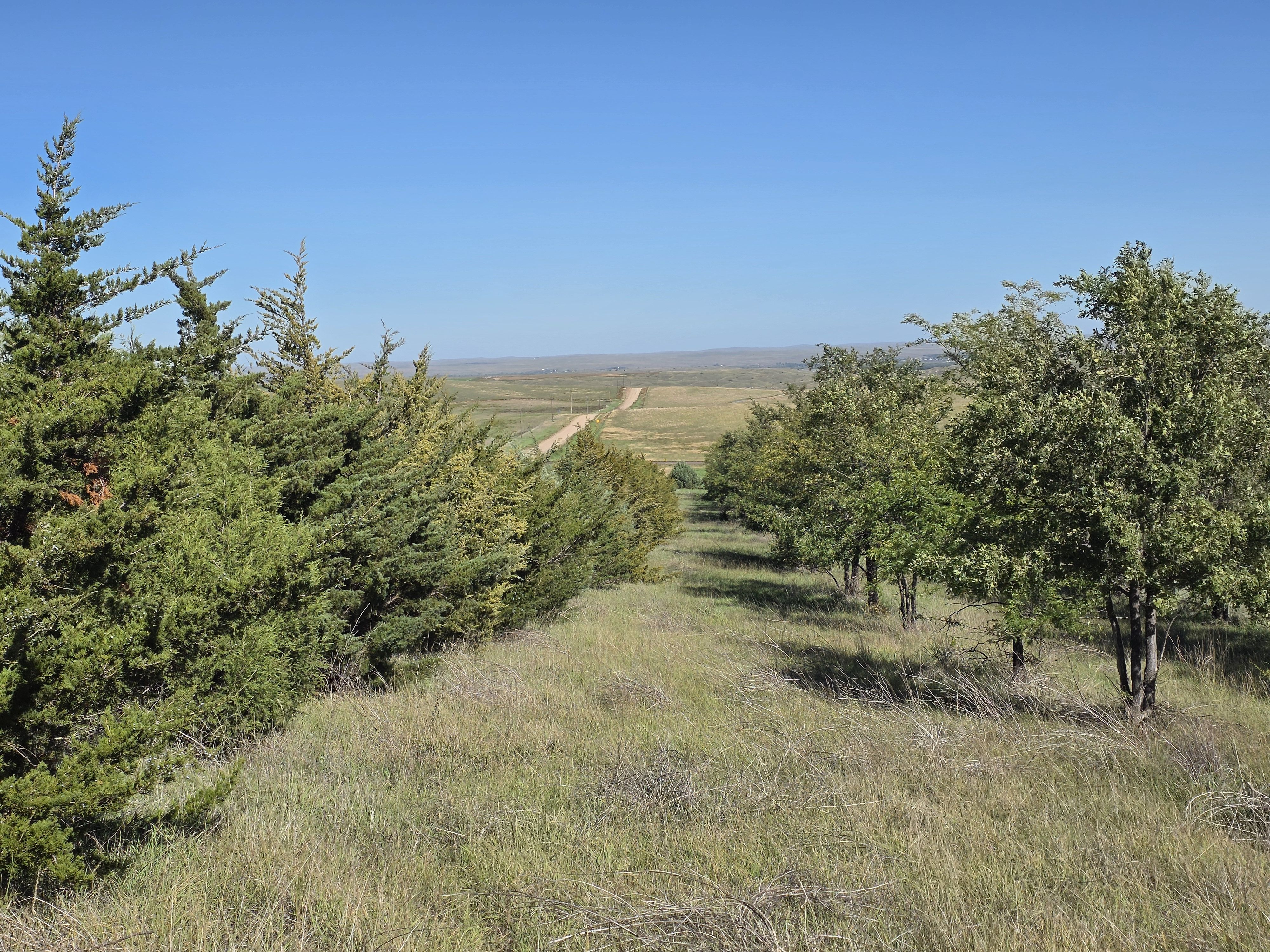
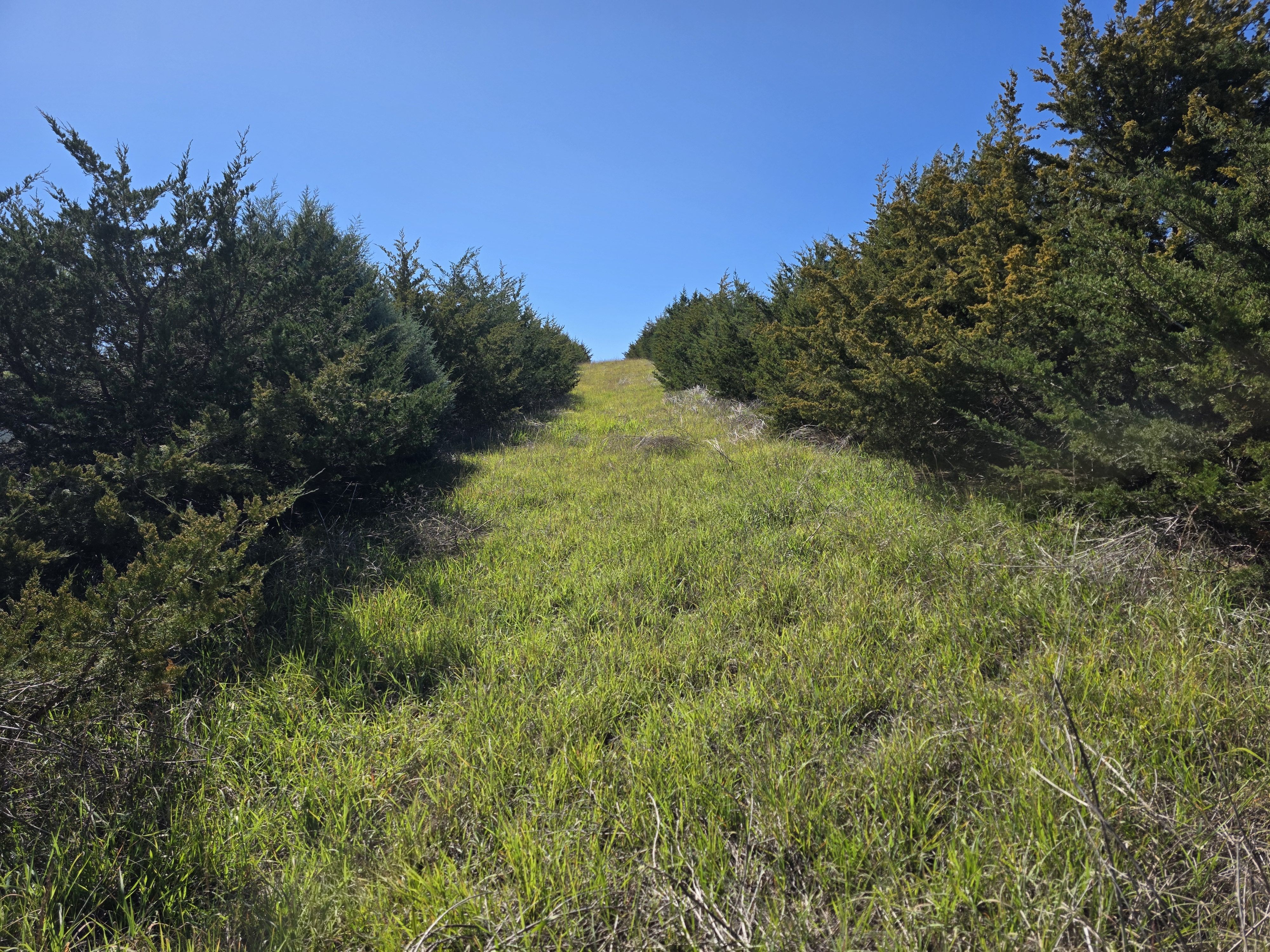
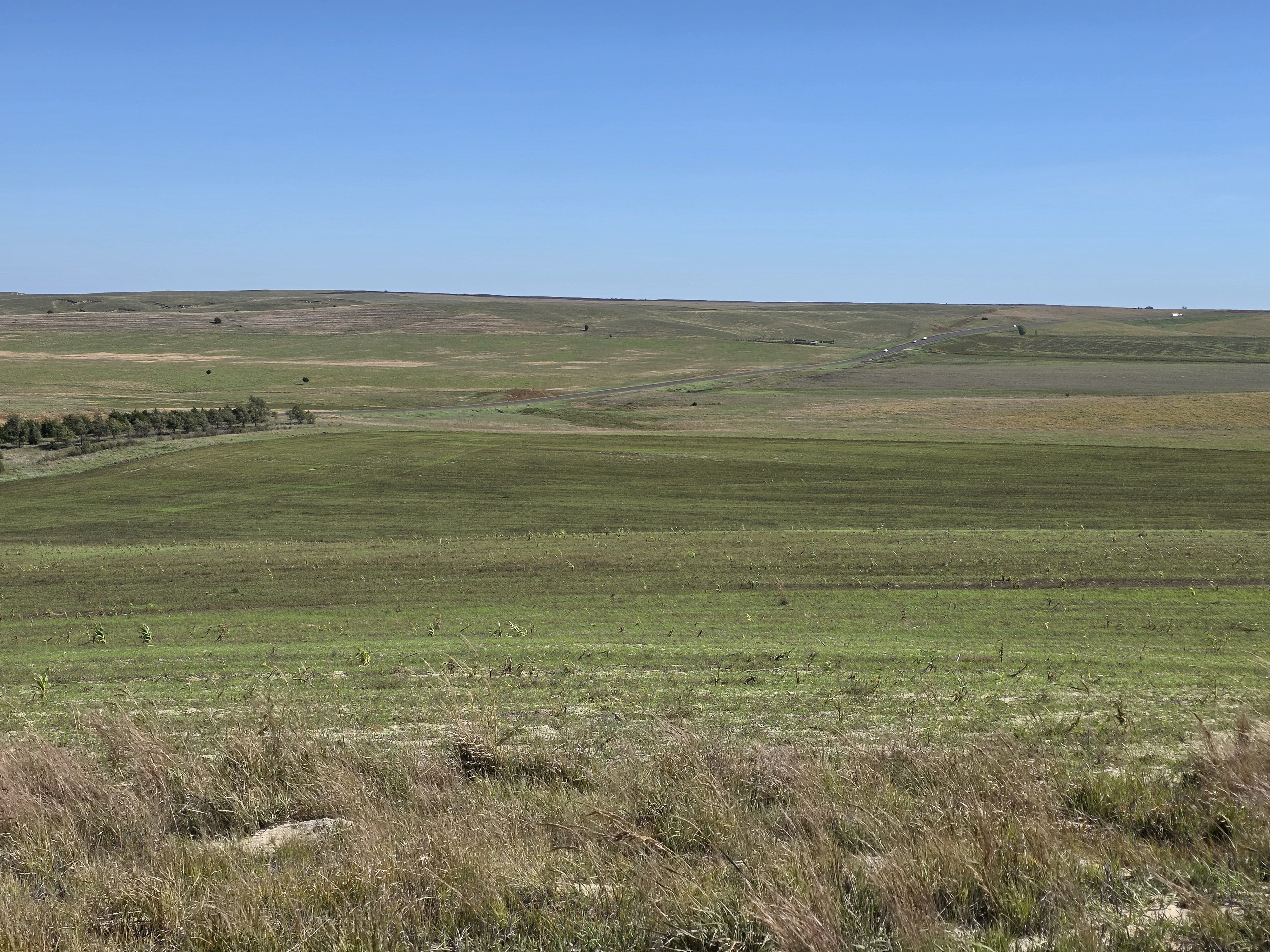
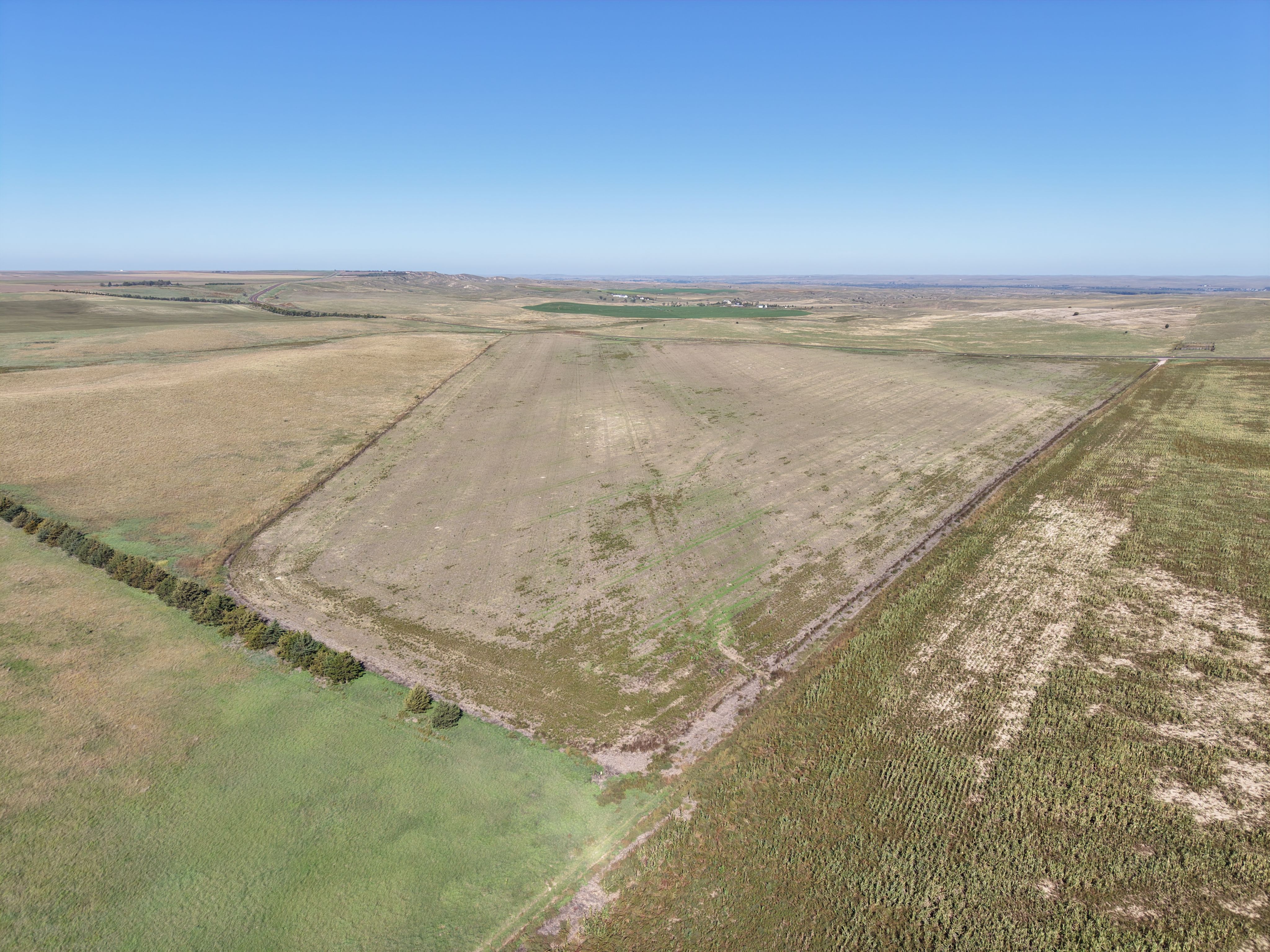
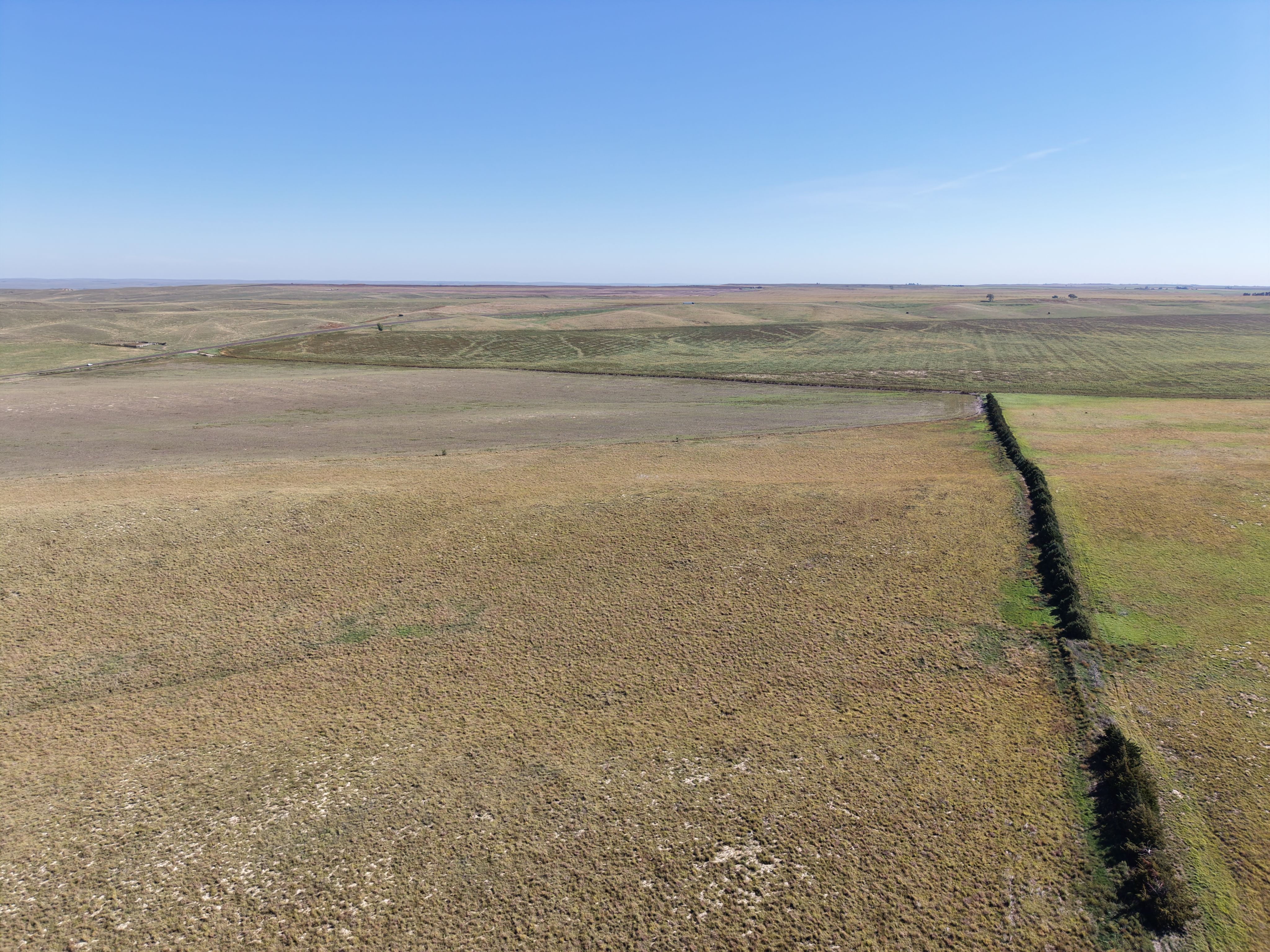
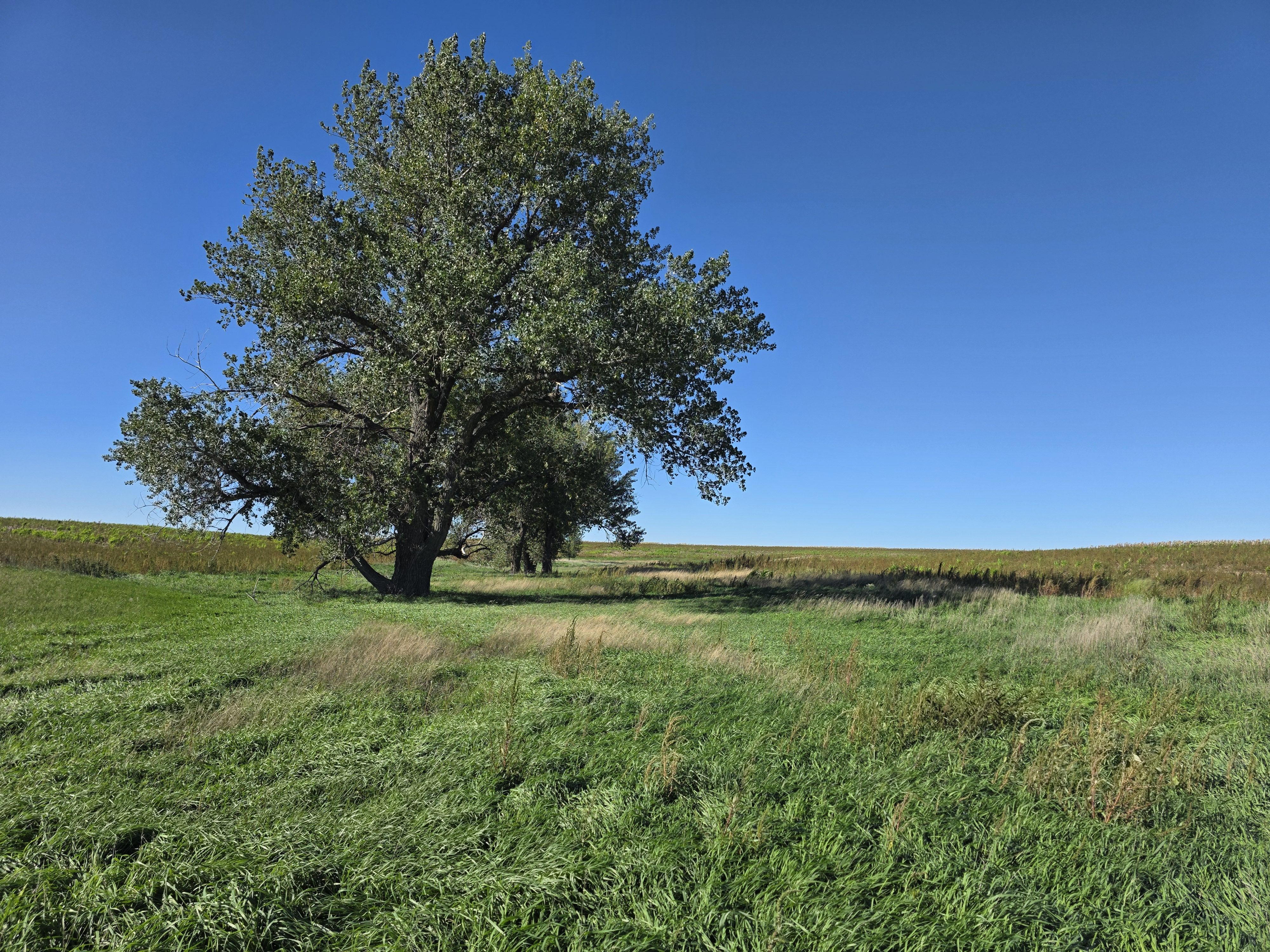
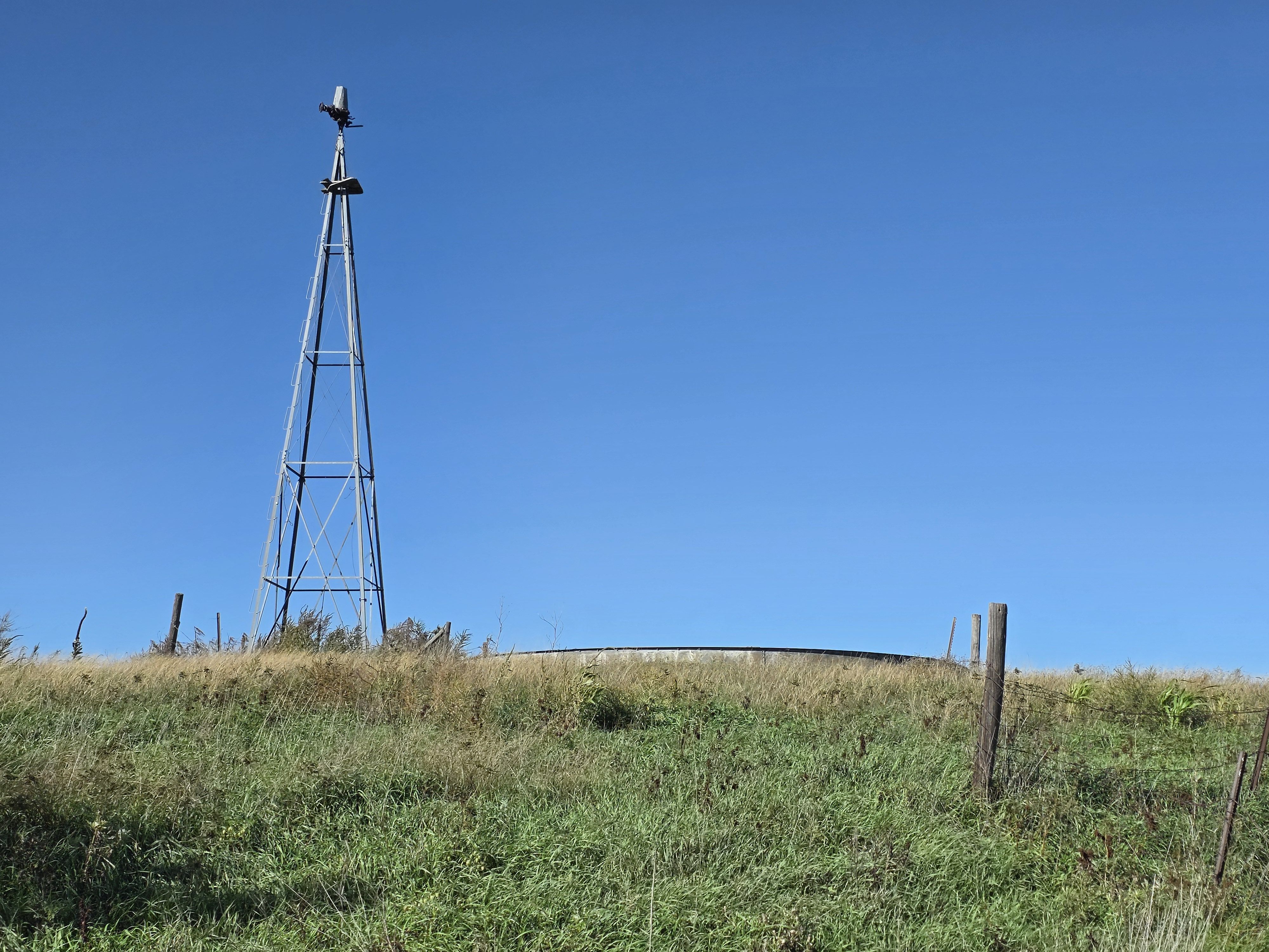
Tract 3 Photos