88.86 Acres M/L in Warren County IA | Sealed Bid Auction ends on August 26 | Details

Worth County, IA

New Listing
Worth County, IA
40.09 Acres M/L

Eagle Avenue & Iowa Highway 9
Fertile, IA 50434

Price $395,000
Listing #19721
Chase Duesenberg

Land Agent

Chase Duesenberg

Office: 855.800.LAND
Mobile: 641.529.0562
Chase@PeoplesCompany.com

Property Info

Description

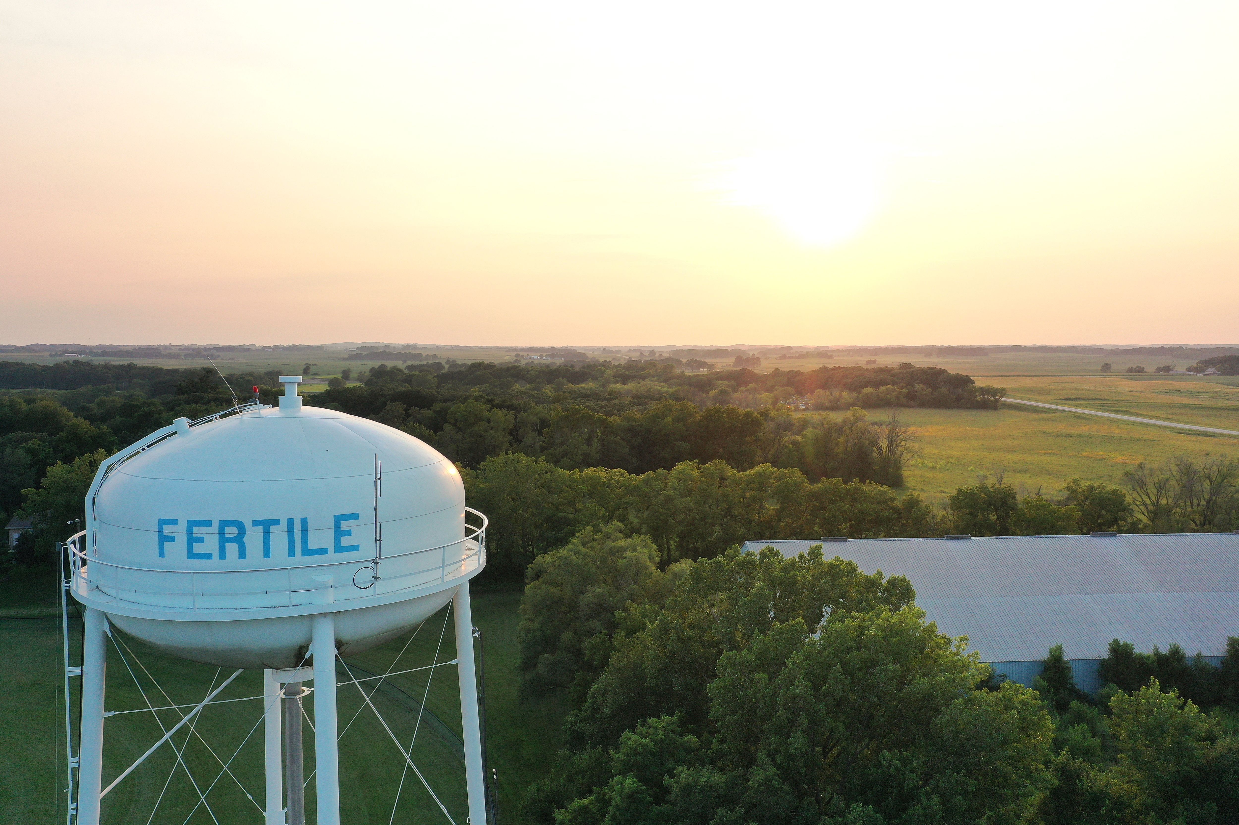
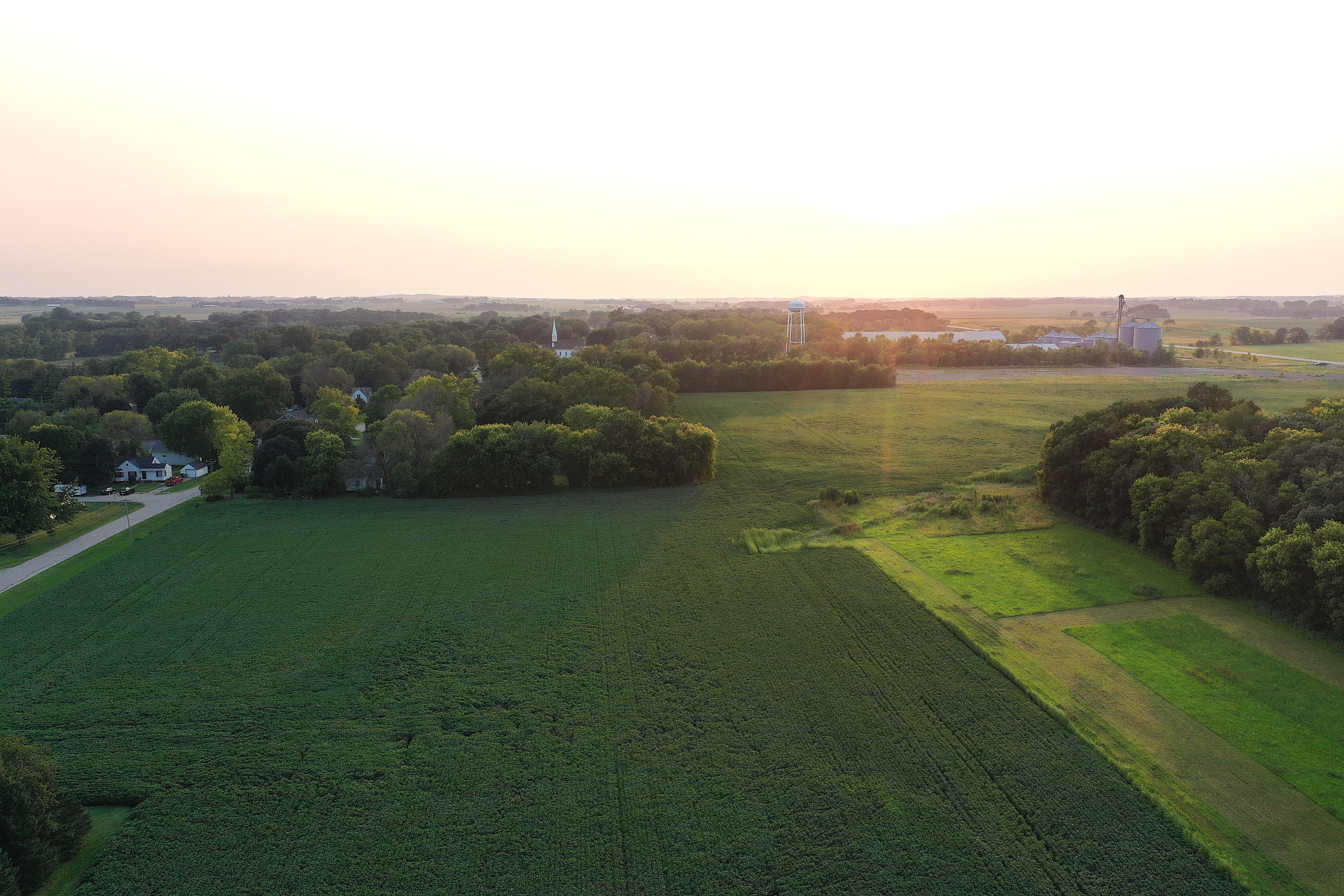
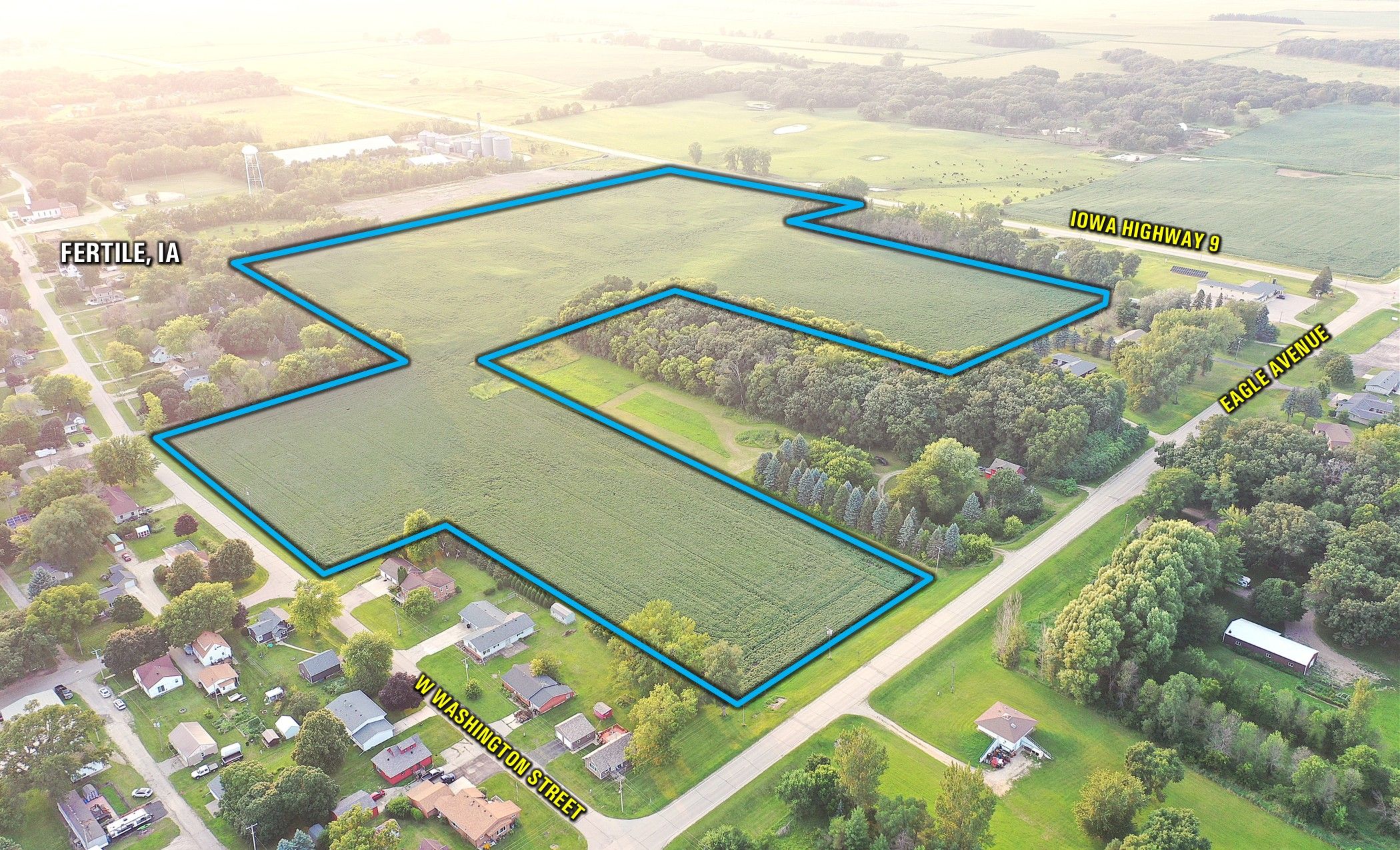
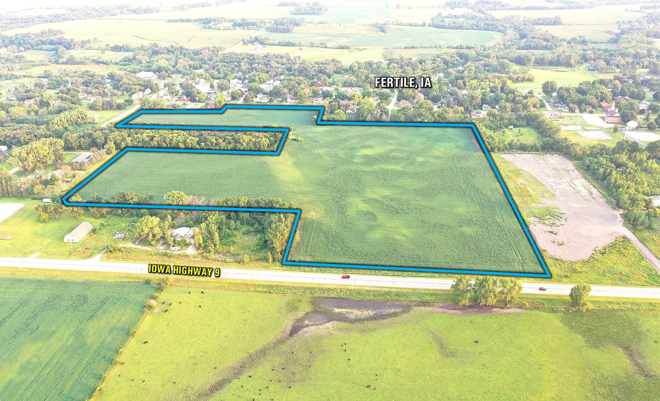
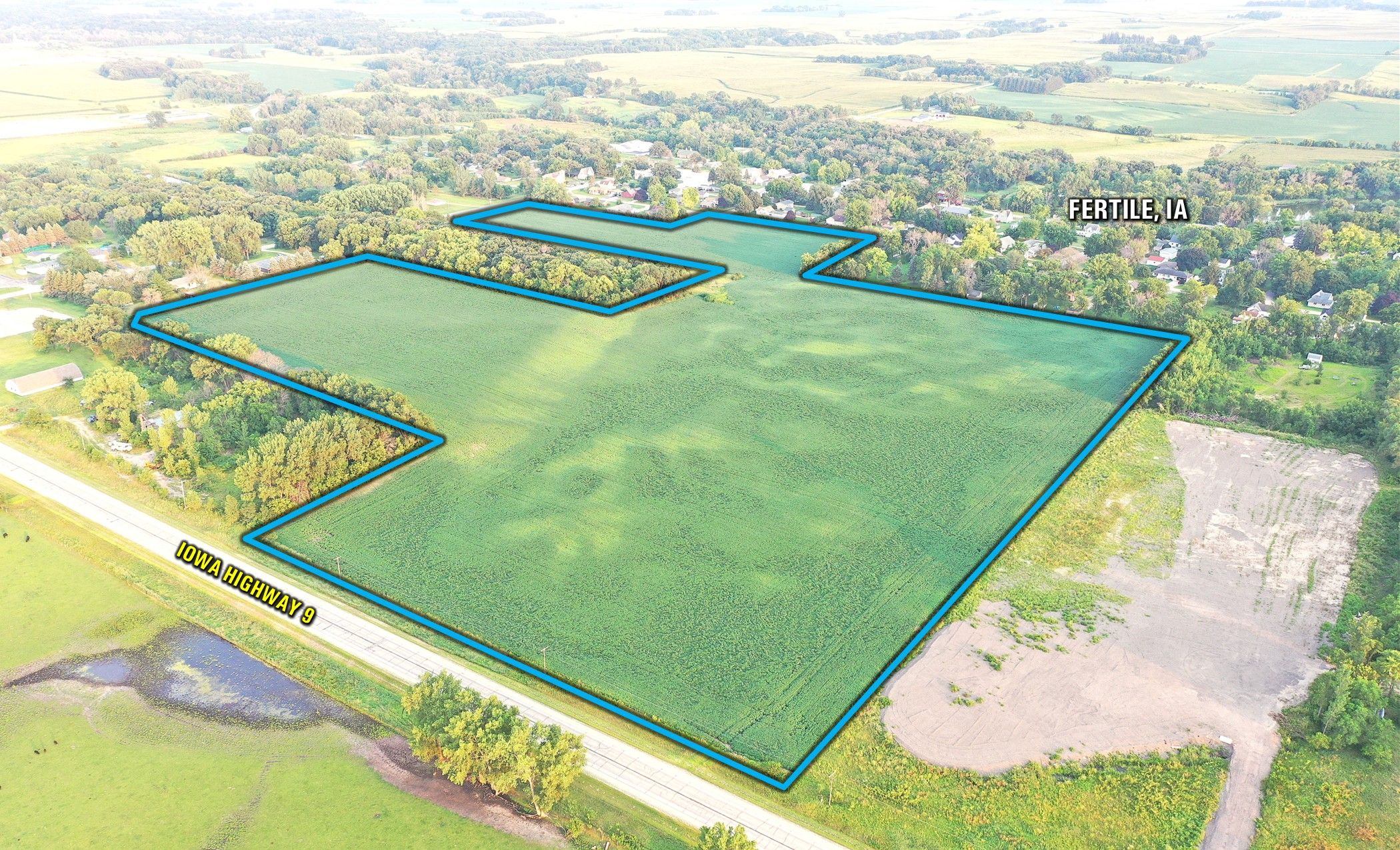
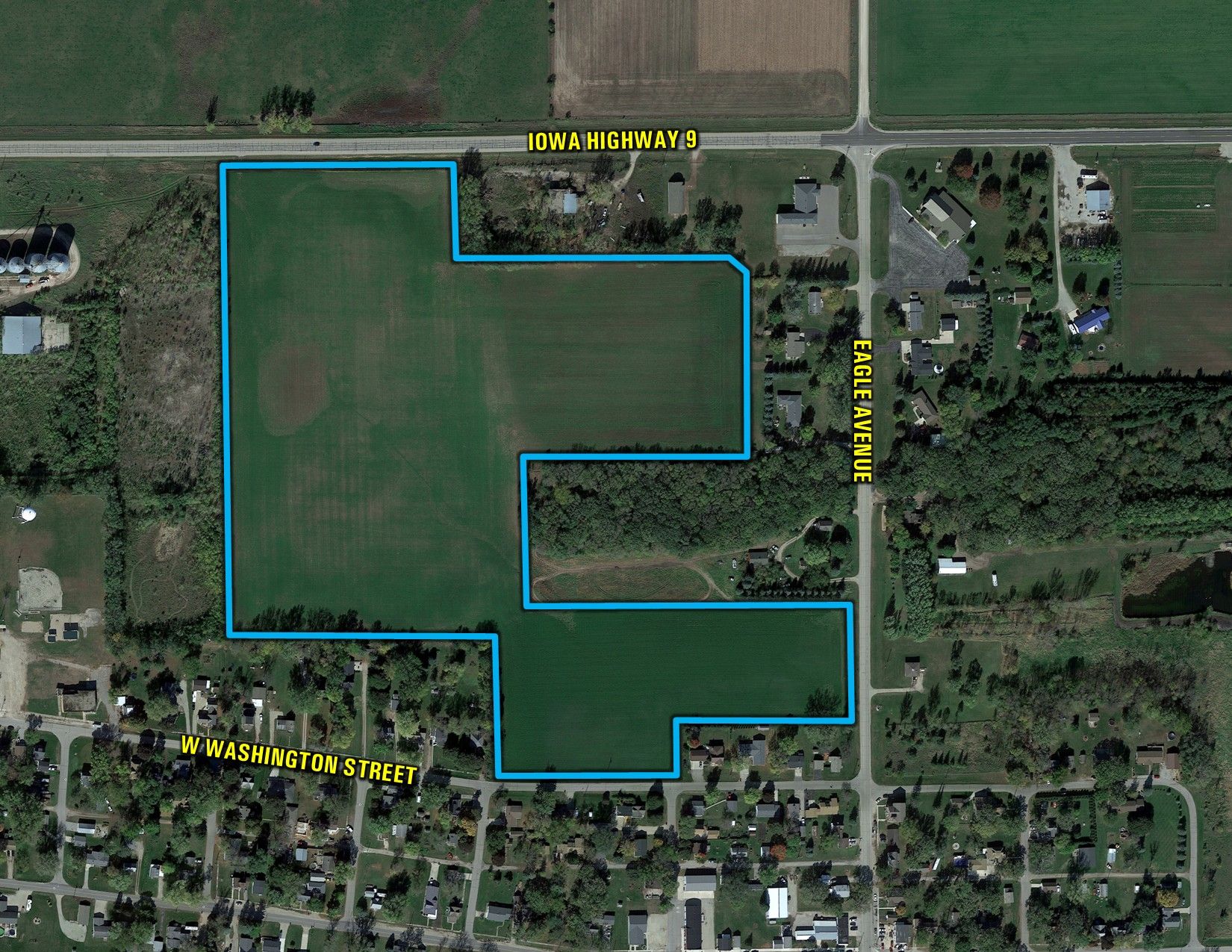
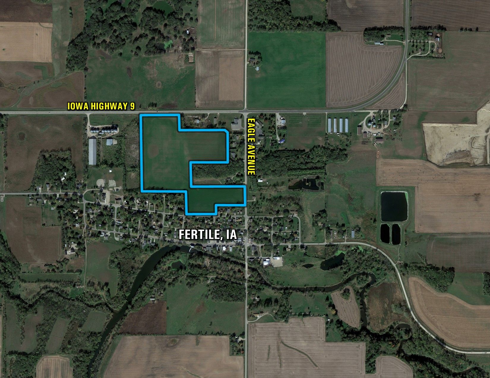
Offering 40.09 surveyed acres of prime development land situated on the northwest side of Fertile, Iowa. The majority of the property has been annexed into the City of Fertile. Utility infrastructure is nearby, including city water and sewer services. Electricity is provided by Alliant Energy, and natural gas service is available through Black Hills Energy. 

The property offers outstanding access and visibility along Iowa Highway 9, which carries more than 1,000 vehicles per day (VPD). Located just 4 miles from Interstate 35, the site provides excellent regional connectivity while maintaining convenient access to the City of Fertile, making it well-suited for a variety of opportunities.

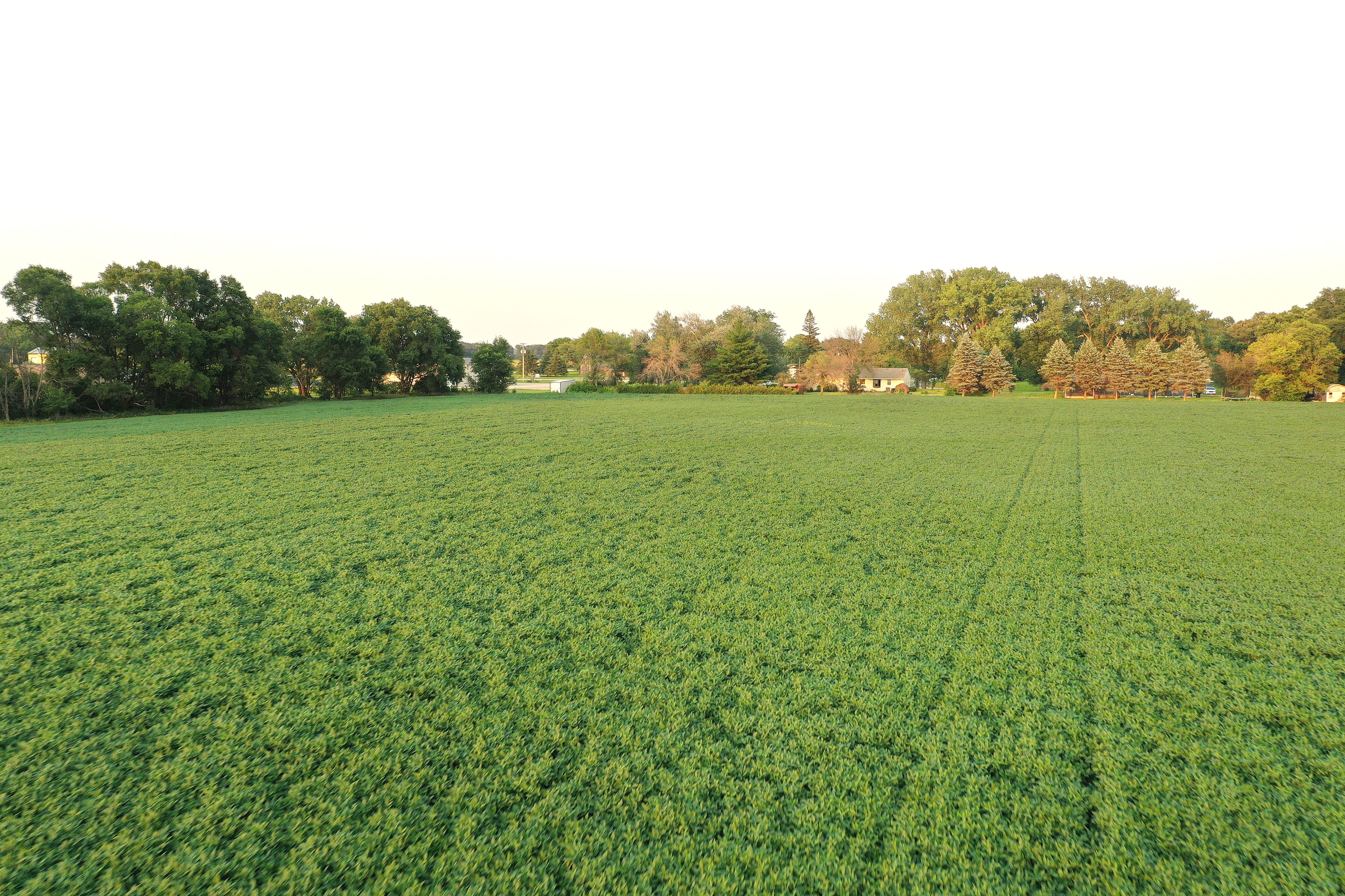
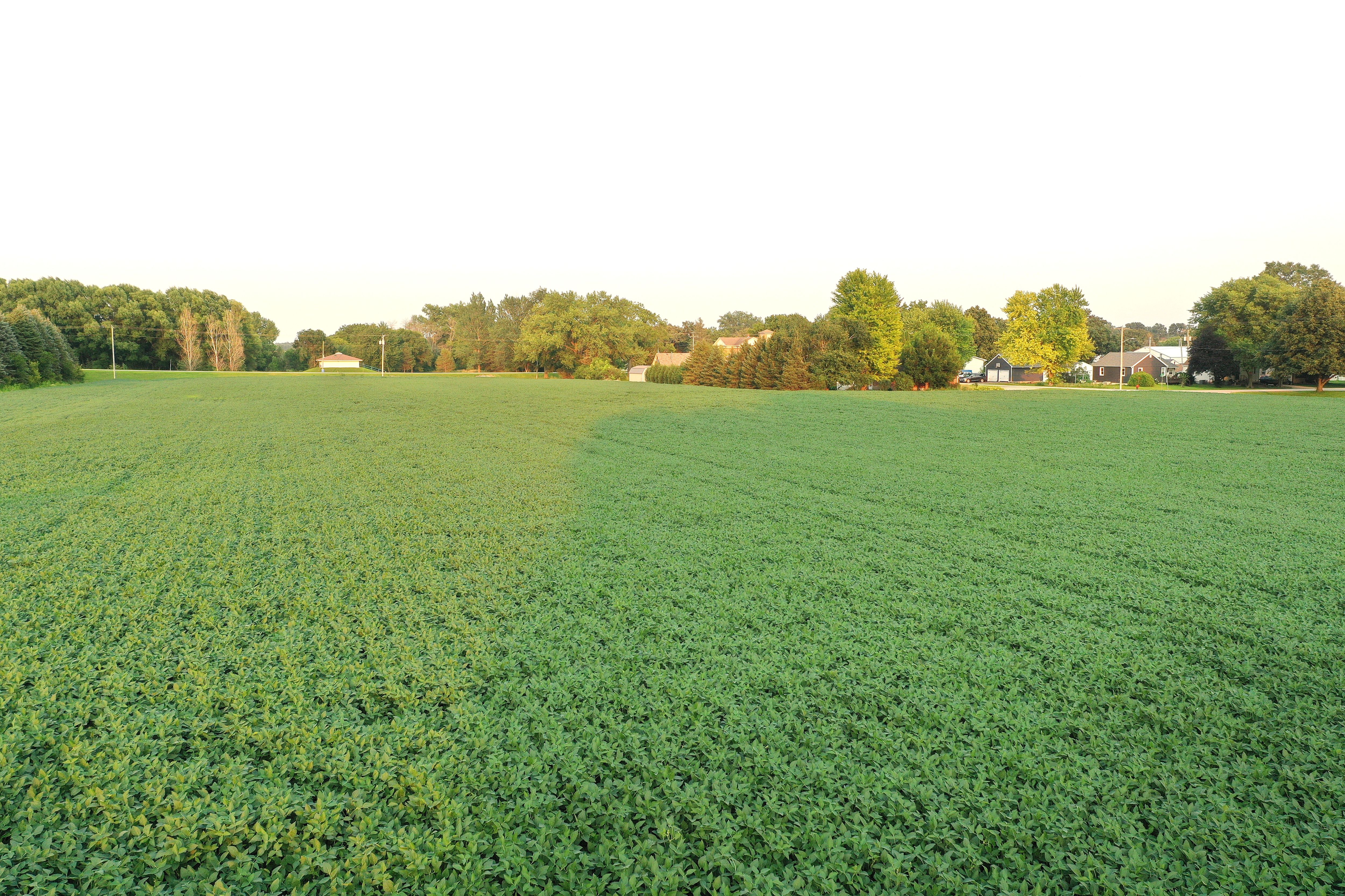
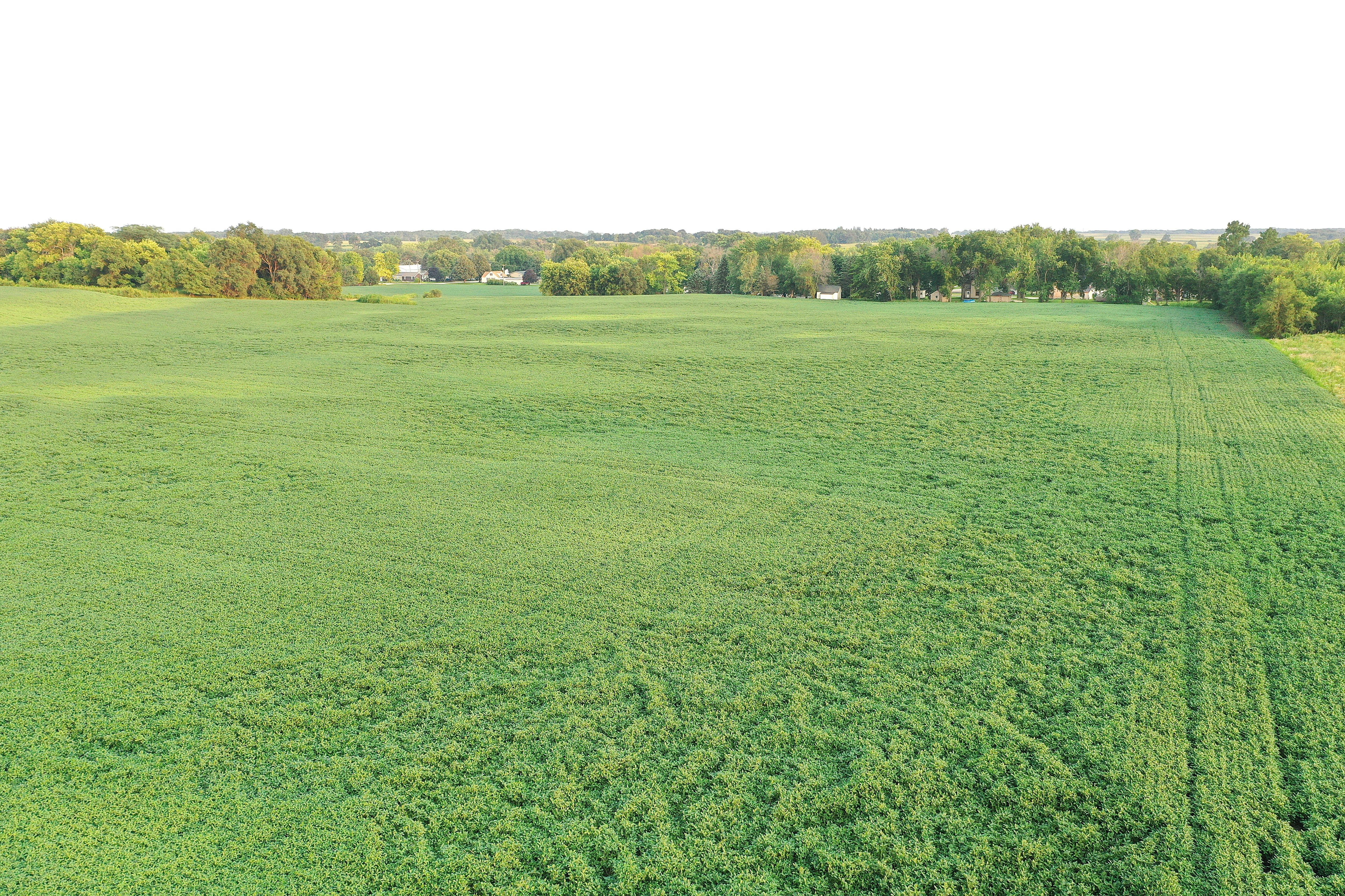
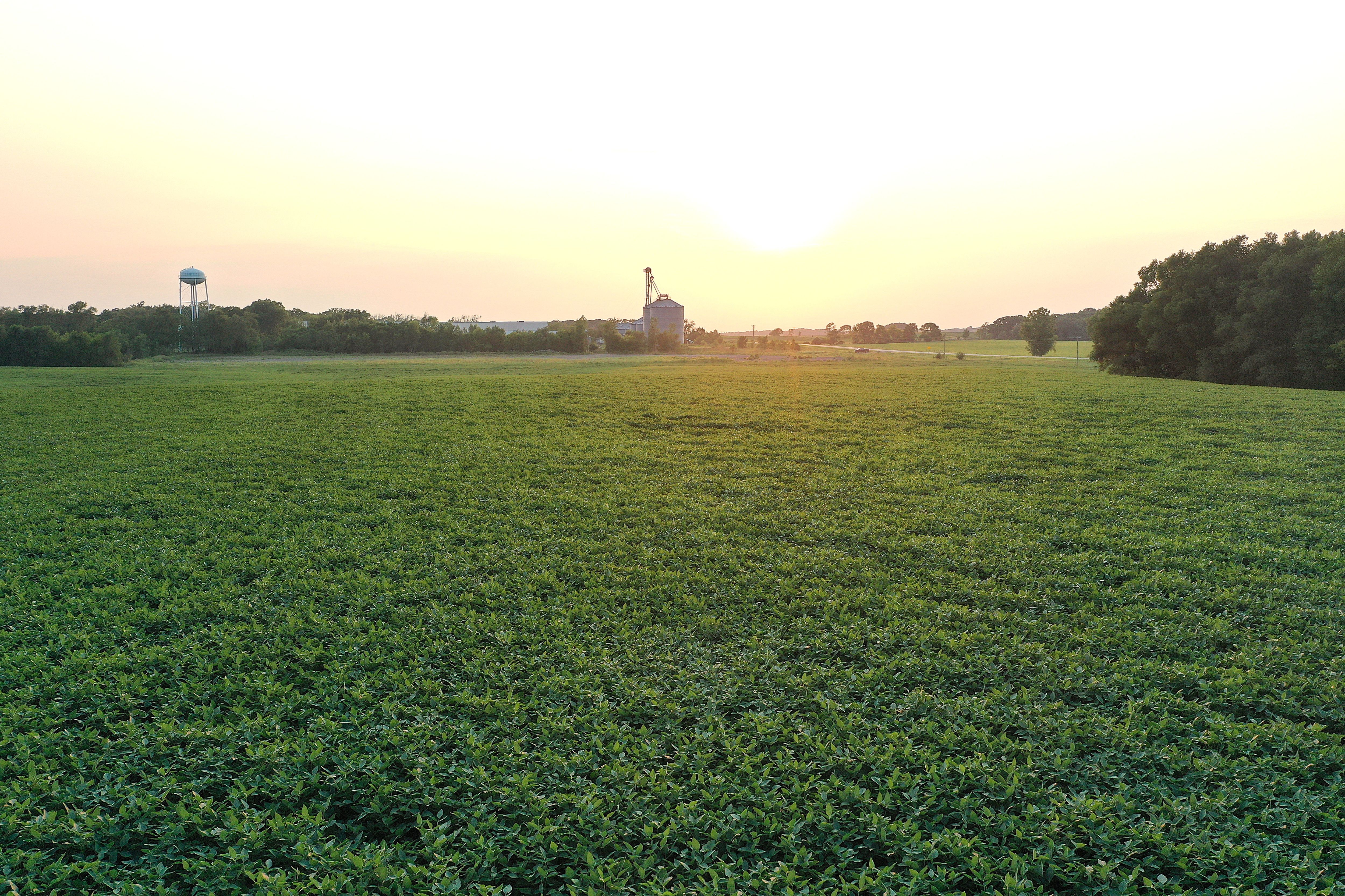
There are currently 37.35 FSA tillable acres carrying a CSR2 of 54.2. The farm lease will be open for the 2027 crop season. 

Legal Description

Parcel "C" in part of the N1/2 of the NE1/4 of Section 34, Township 98 North, Range 22 West of the 5th P.M., Worth County, Iowa. Exact legal description to be taken from Abstract. 

Directions

From Interstate 35 (Exit 203): Take Exit 203 and head west on Iowa Highway 9 for 4 miles. The property will be located on the left (south) side of Iowa Highway 9, marked with a Peoples Company sign.

From Fertile, Iowa: Travel north on N 1st Street/Eagle Avenue for 0.5 miles; the property will be on the left (west) side of N 1st Street/Eagle Avenue, marked with a Peoples Company sign. 
  • Sign On Property: Yes
  • Parcel Number: 0934201014, 0934226012, 0934201016, 0934226014, 0934276005, 0934277006
  • School District: Forest City Community School District
  • General Area: Fertile, Iowa
  • Net Taxes: $852.00
  • CSR2: 54.2
  • Zoning: Agricultural


Interactive Map

Use the Interactive Map to explore the property's regional location. Zoom in and out to see the property's surroundings and toggle various mapping layers on and off in the Map Layer Menu.


Photos
Listing Photo: DJI_0927 Listing Photo: DJI_0906 Listing Photo: DJI_0910 Listing Photo: DJI_0916 Listing Photo: DJI_0923 Listing Photo: DJI_0932 Listing Photo: Outline 3 Fertile, Iowa Listing Photo: Outline 2 Fertile, Iowa Listing Photo: Outline 1 Fertile, Iowa Listing Photo: Google Close Listing Photo: Google Far Farm