13 Acre Building Site with Highway Frontage - Marion County,

New Listing
Marion County, IA
13.00 Acres M/L

Highway G76
Lacona, IA 50139

Price $189,000
Listing #19578
Daran Becker

Senior Land Agent

Daran Becker

Office: 855.800.LAND
Mobile: 515.979.3498
Daran@PeoplesCompany.com

Property Info

Description

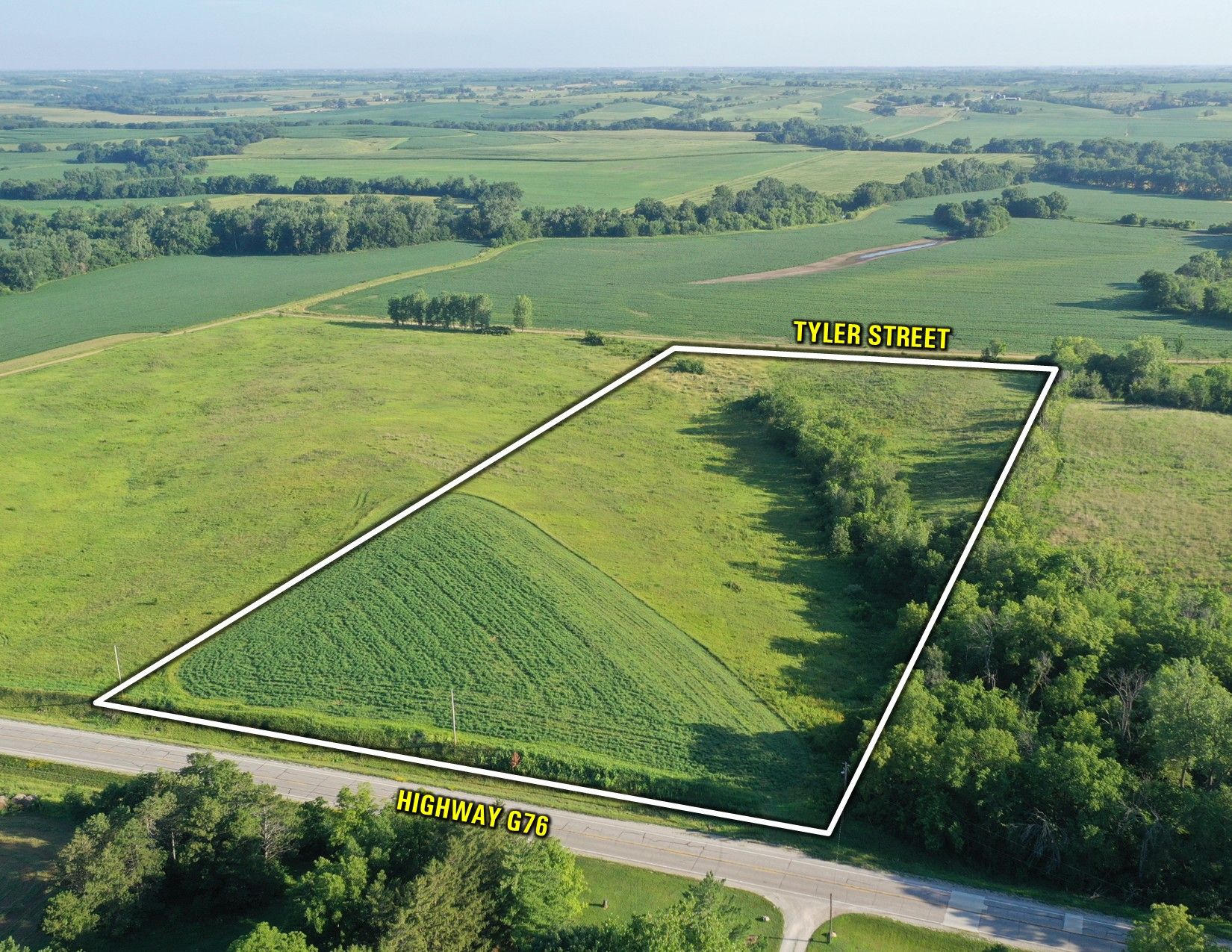
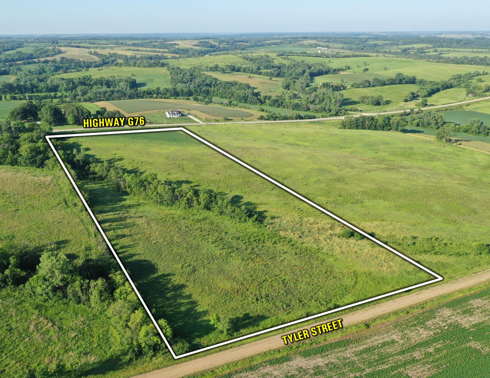
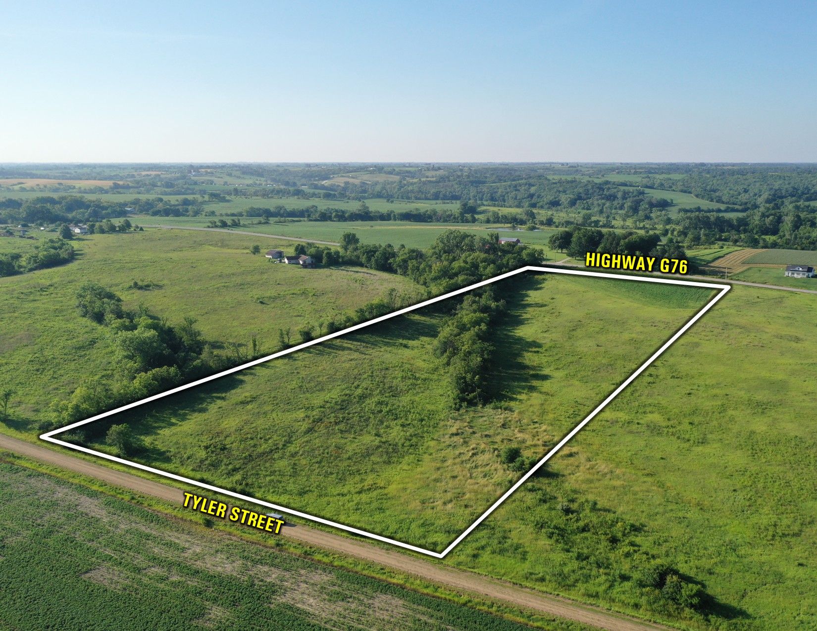
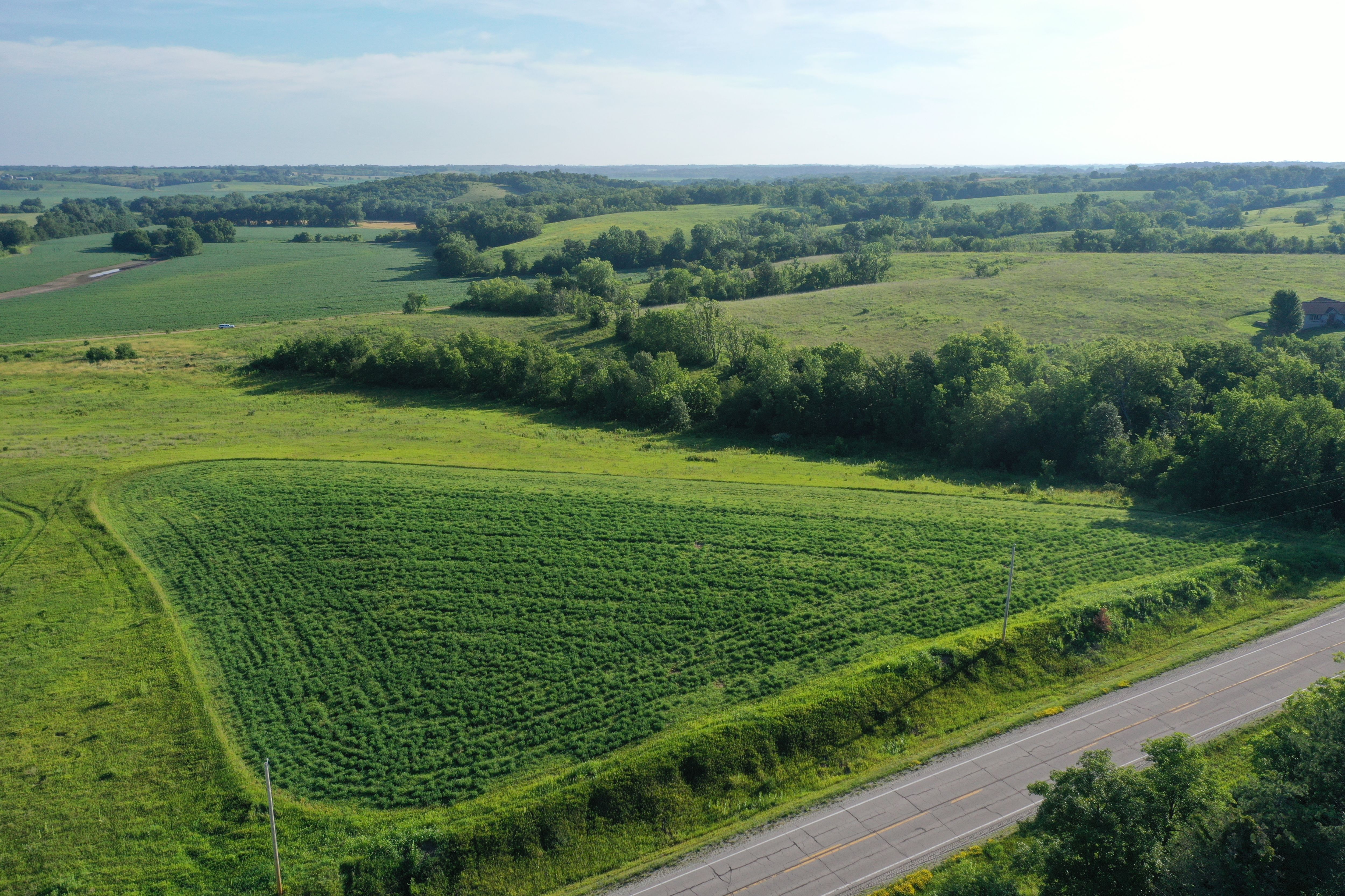
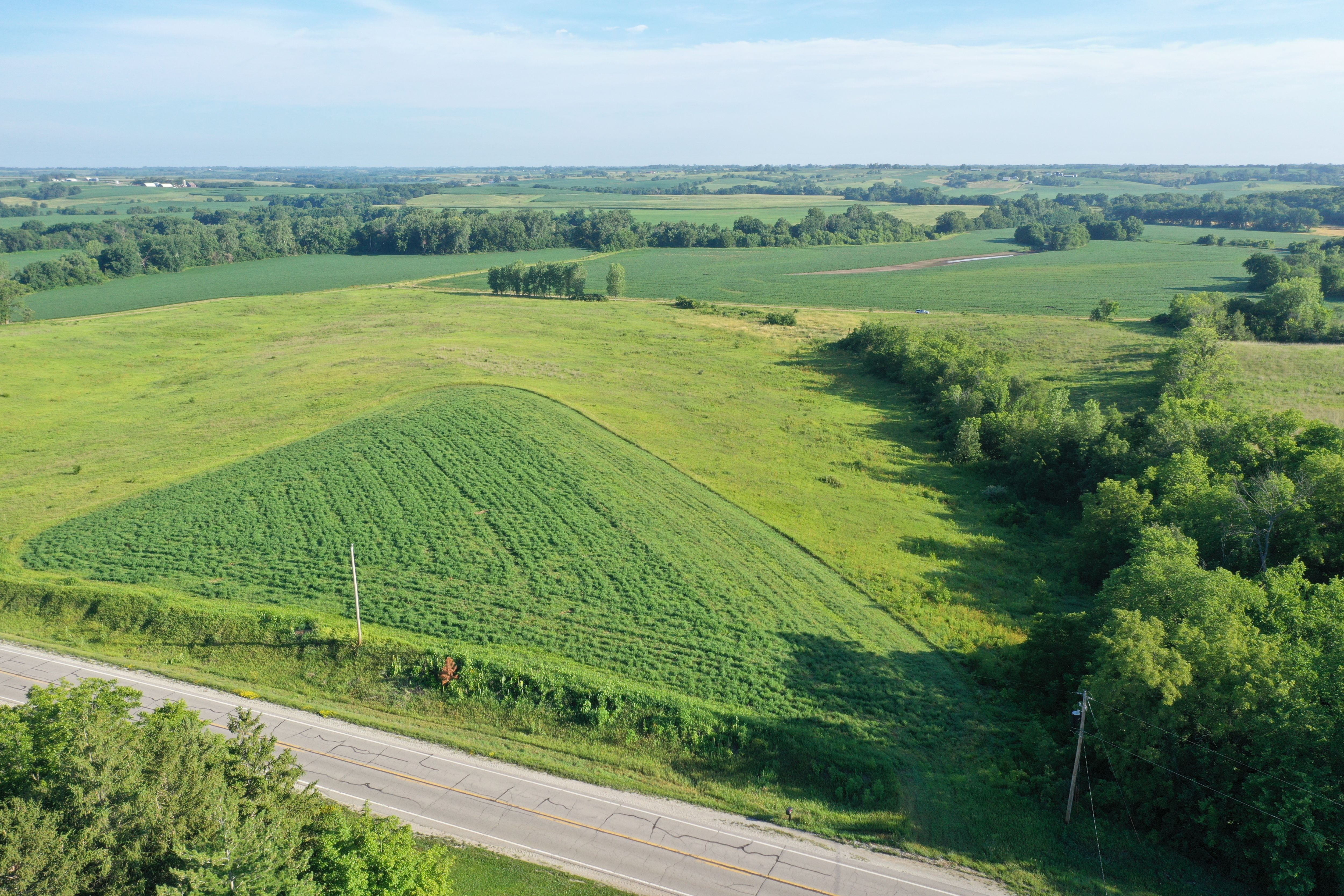
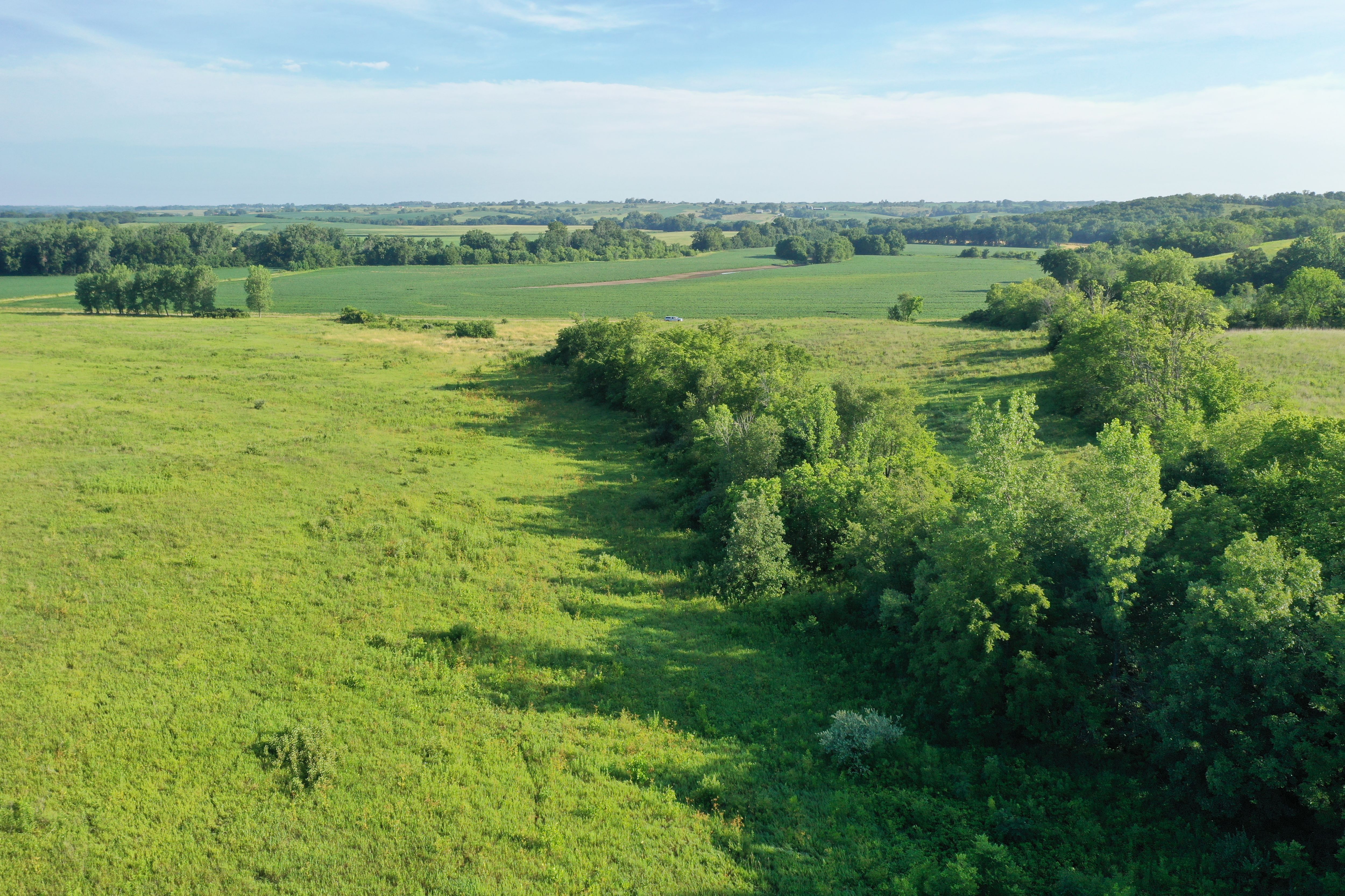
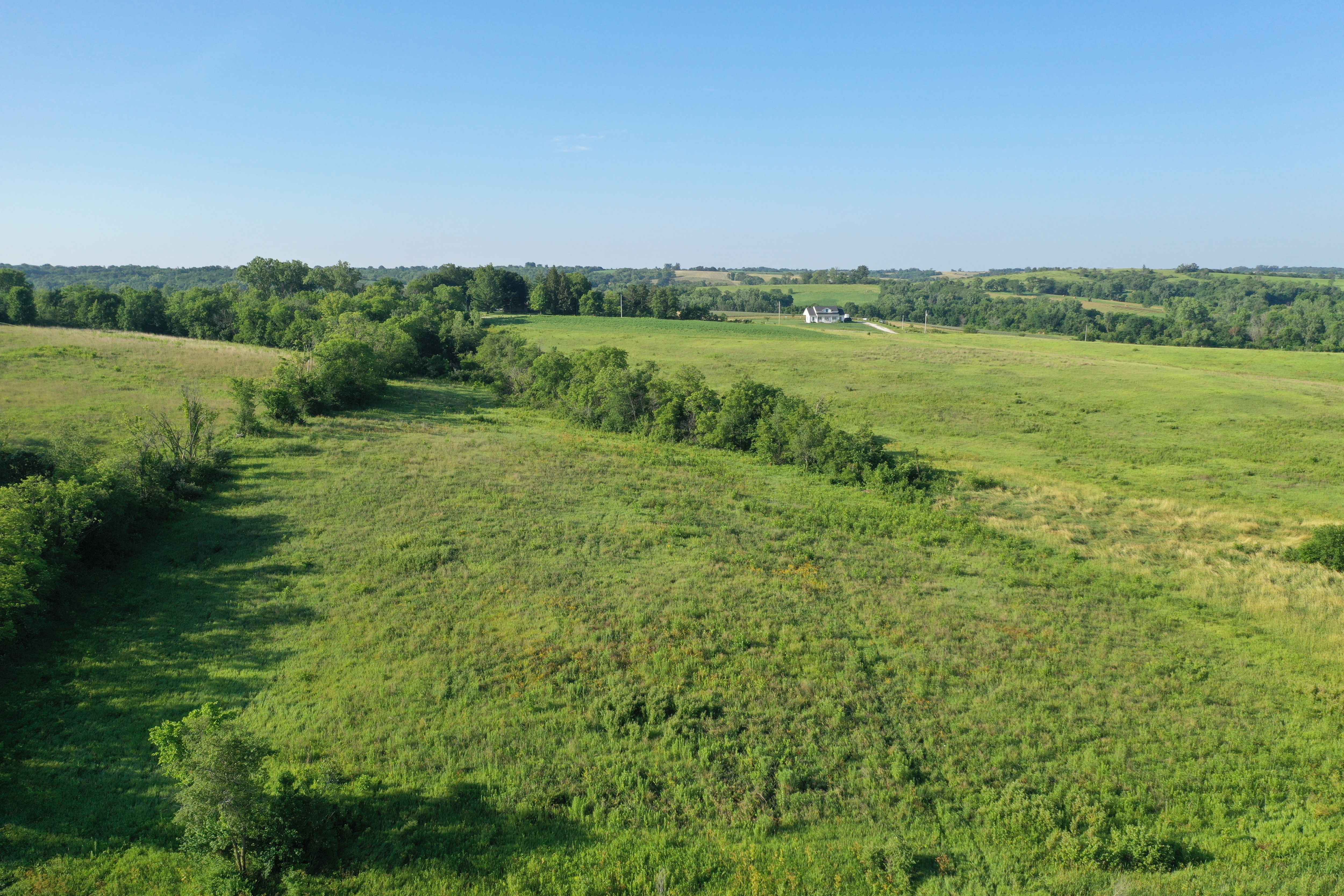
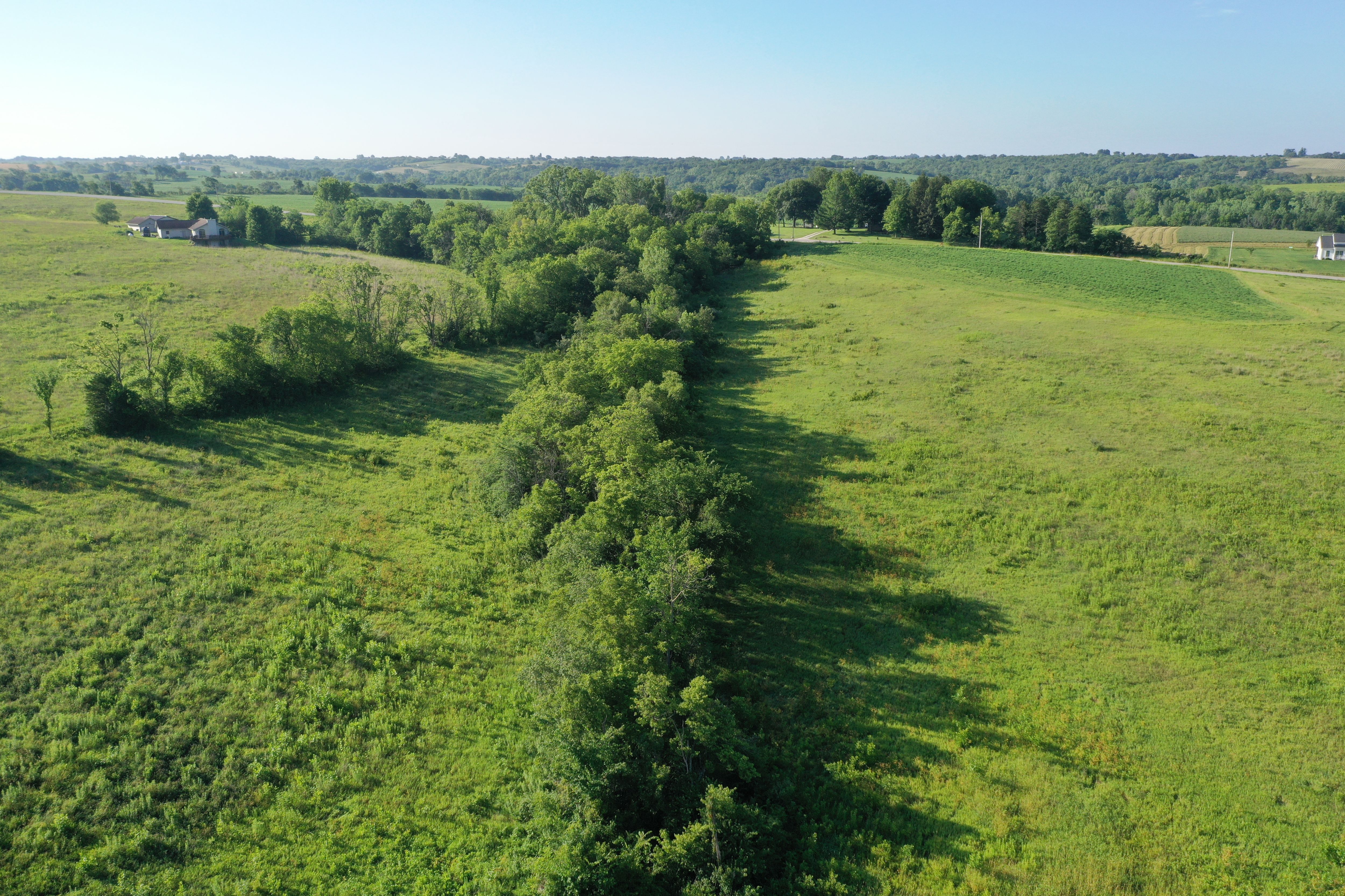
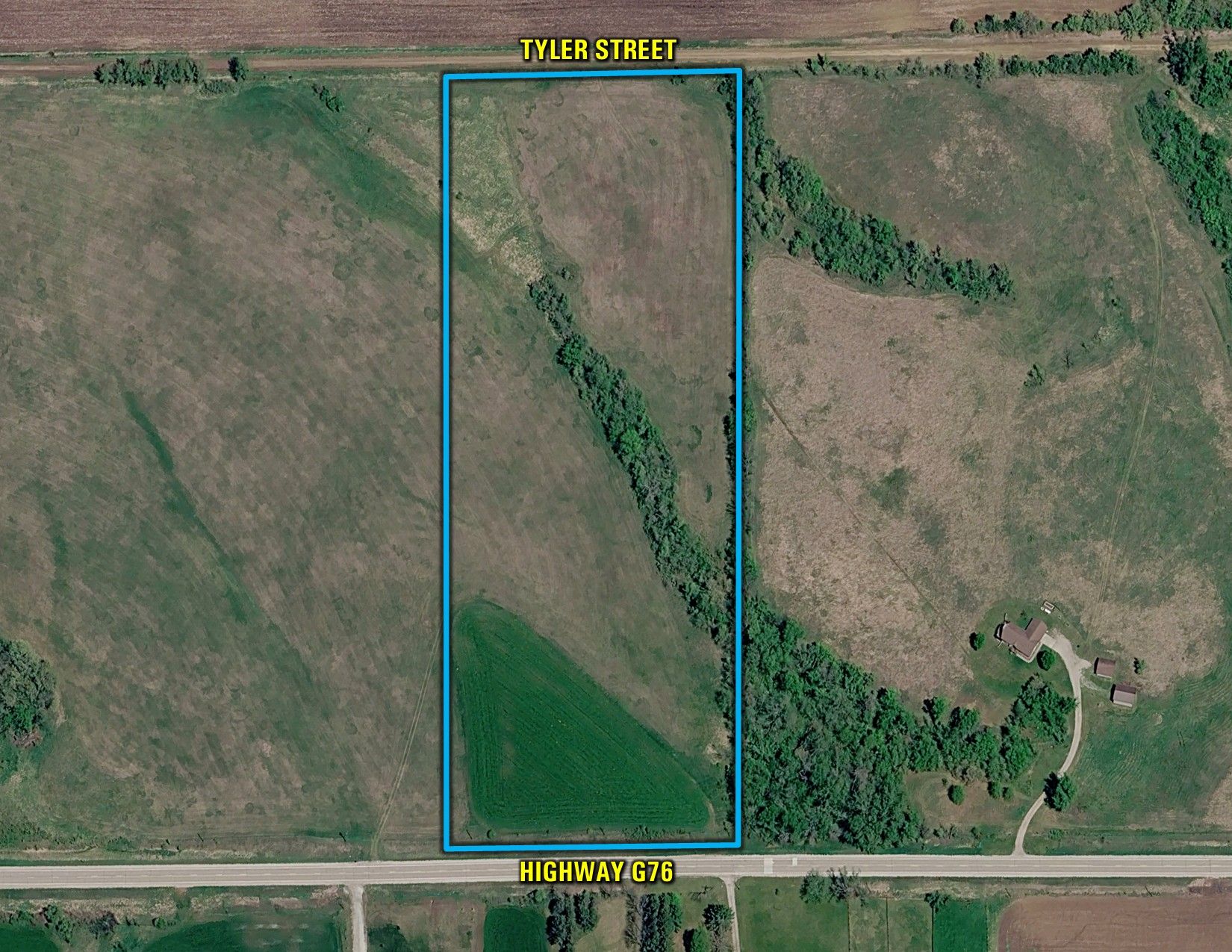
Peoples Company is pleased to present this 13-acre property located along paved County Highway G76 just east of Lacona in Marion County, Iowa, offering a quality building site, income-producing farmland, and recreational opportunities.

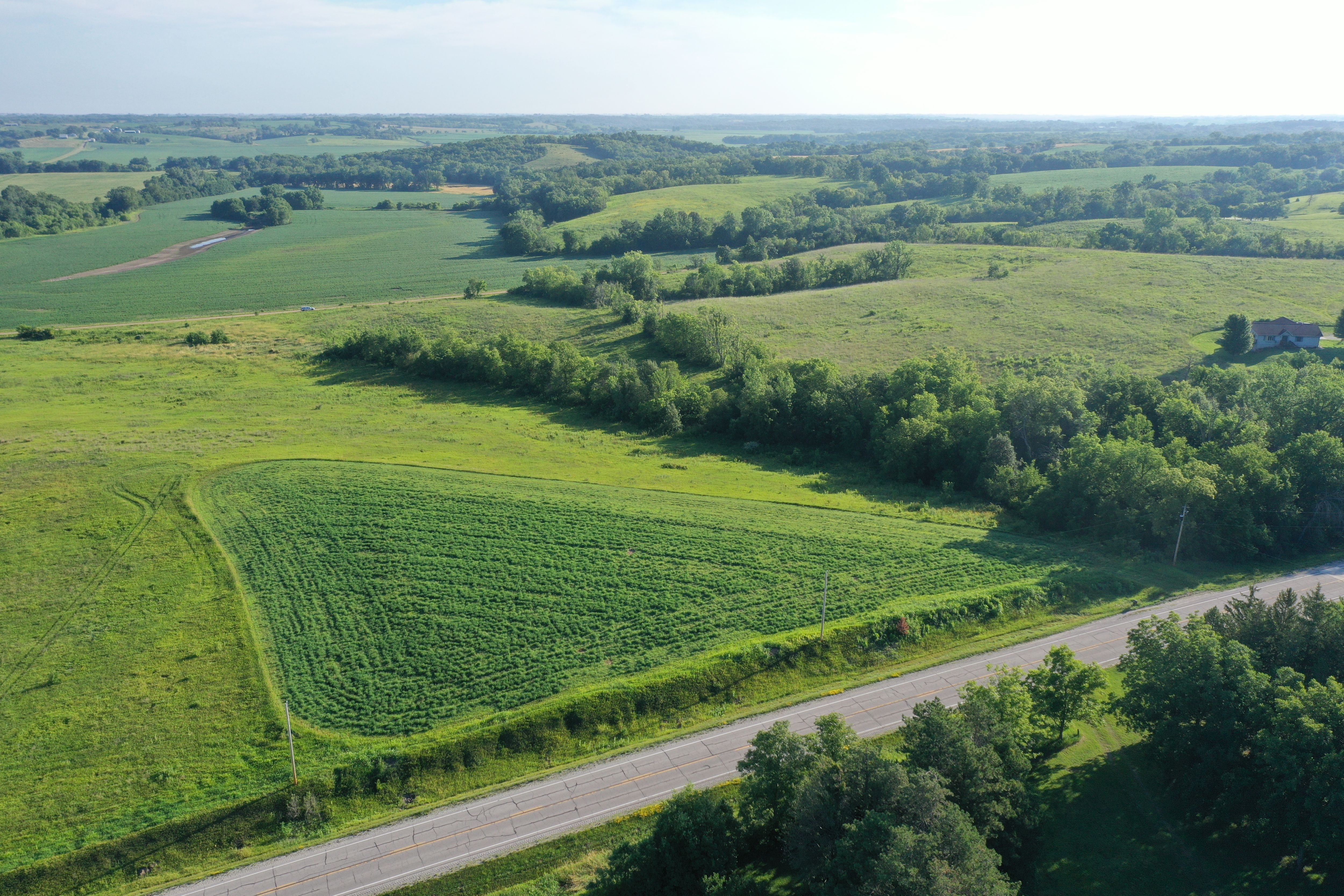
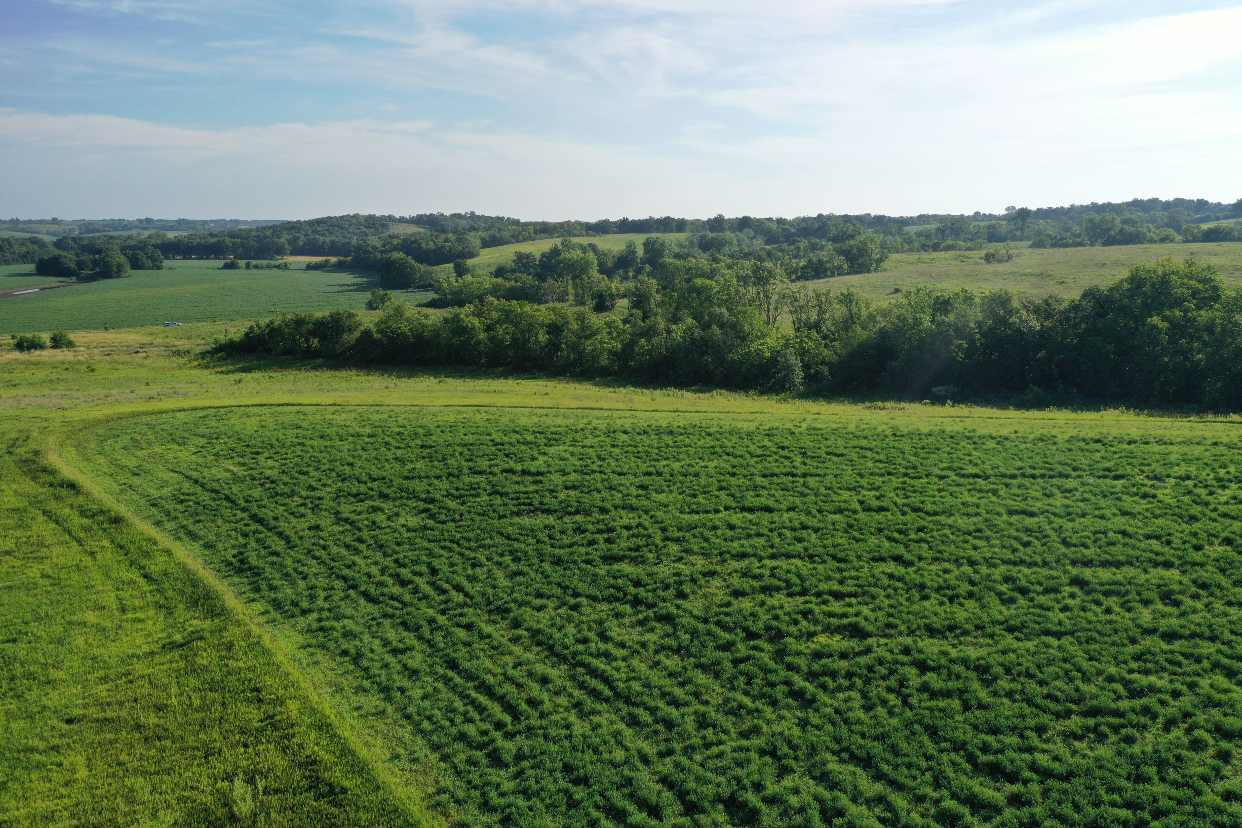
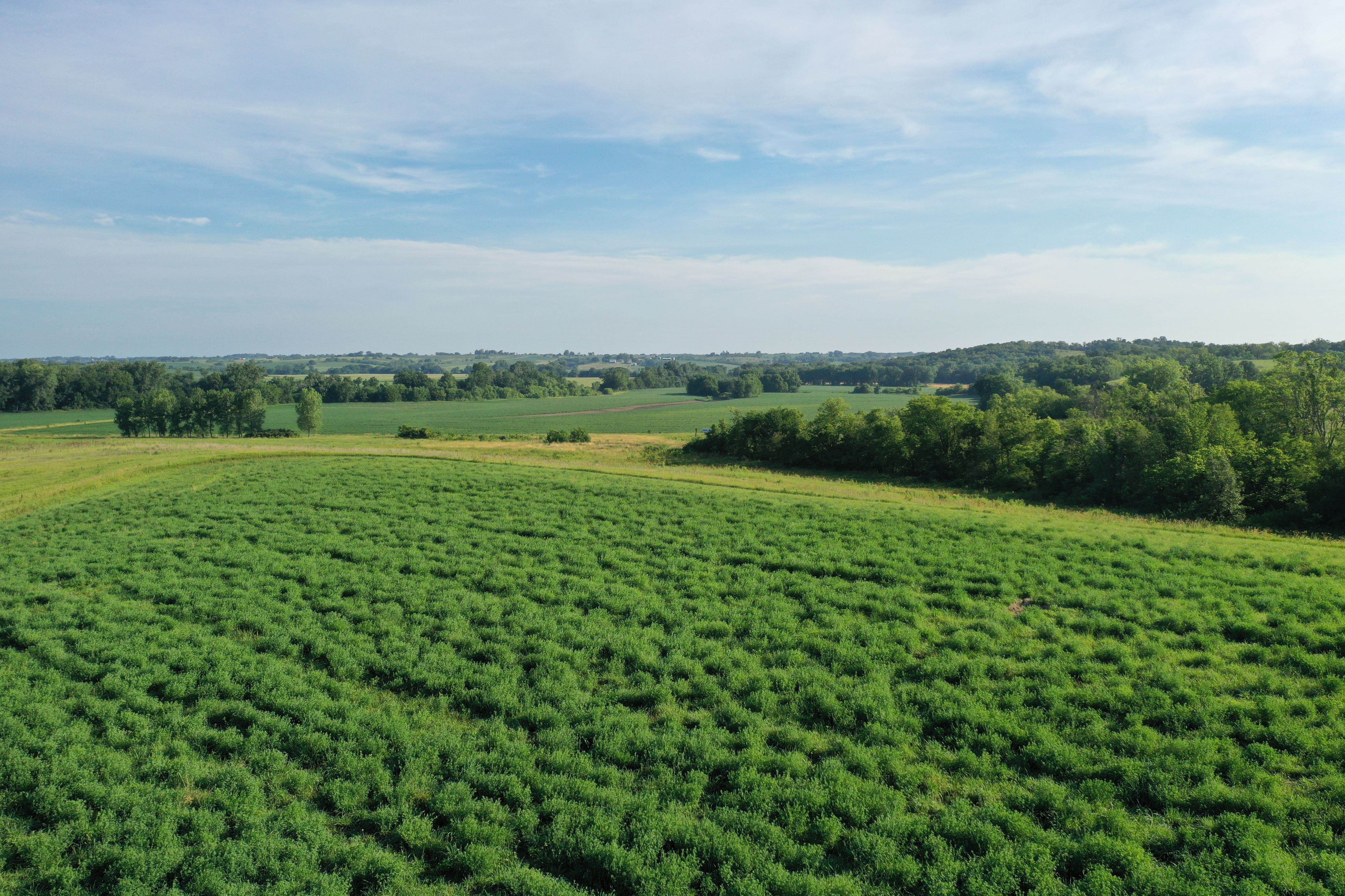
The property features an excellent location for a new home with scenic countryside views and convenient paved road frontage. It includes 2.51 FSA tillable acres currently planted to alfalfa, along with an estimated 9.32 acres enrolled in the Conservation Reserve Program (CRP), generating $1,940 annually ($208.17 per acre). The current CRP contract expires in 2027. 

The established habitat provides good hunting opportunities for deer, turkey, and upland birds, making the acreage suitable for both recreation and outdoor enjoyment.

Properties of this size that offer a quality building site, annual income, paved access, and recreational opportunities are becoming increasingly difficult to find. Don't miss the opportunity to own this Marion County acreage. Rural water and electric are available at the road.

Legal Description

13 acres in NW 1/4 NW 1/4 Section 19 Township 74 North Range 21 West. Exact legal description to be taken from Abstract.

Directions

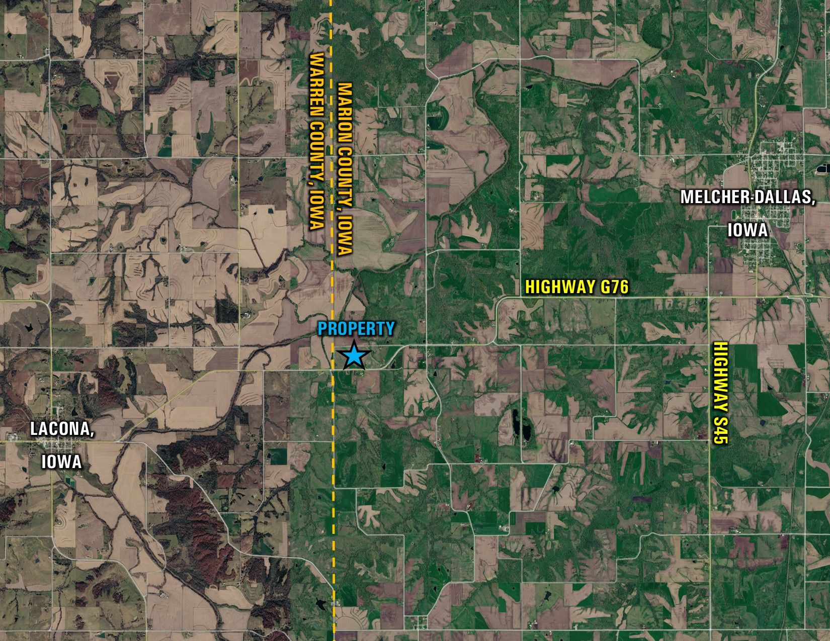
From Lacona, Iowa: Travel east out of town on Highway G76 for 3.4 miles. The property will be located on your left. Look for the Peoples Company signs.
  • Sign On Property: Yes
  • MLS Number: 745491
  • Parcel Number: Part of 0184100100
  • School District: Melcher-Dallas Community School District
  • General Area: East of Lacona
  • Net Taxes: $245.00
  • Zoning: Agriculture

Additional Info

Farm Program Information is subject to change when the farm is reconstituted by the Marion County FSA and NRCS Offices.

Interactive Map

Use the Interactive Map to explore the property's regional location. Zoom in and out to see the property's surroundings and toggle various mapping layers on and off in the Map Layer Menu.


Photos
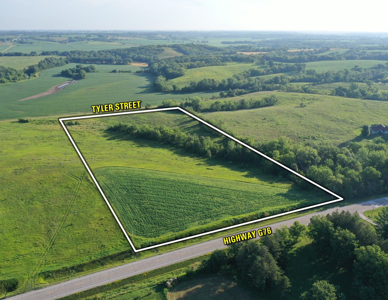
Listing Photo: Drone Outline SW Listing Photo: Drone Outline SE Listing Photo: Drone Outline NE Listing Photo: Drone Outline NW Listing Photo: DJI_0372 Listing Photo: DJI_0383 Listing Photo: DJI_0378 Listing Photo: DJI_0392 Listing Photo: DJI_0398 Listing Photo: DJI_0402 Listing Photo: DJI_0408 Listing Photo: DJI_0412 Listing Photo: Google Close Farm Listing Photo: Google Far Farm