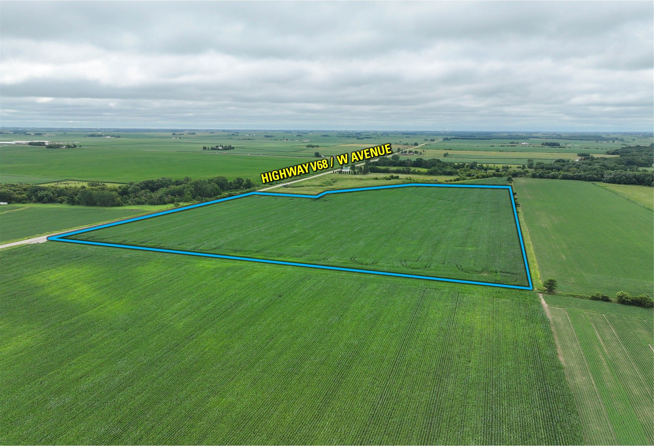
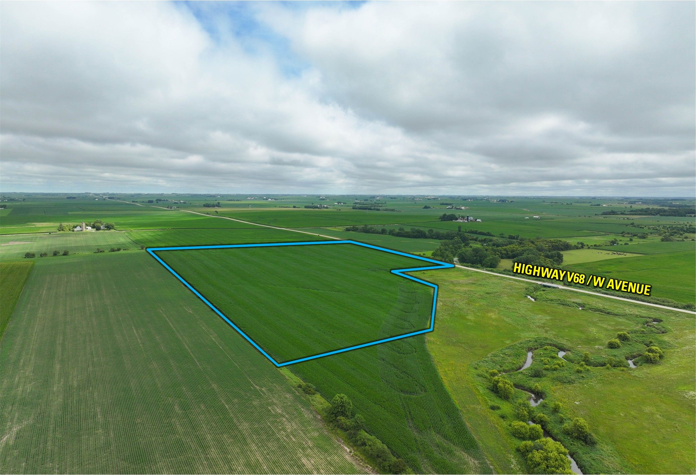
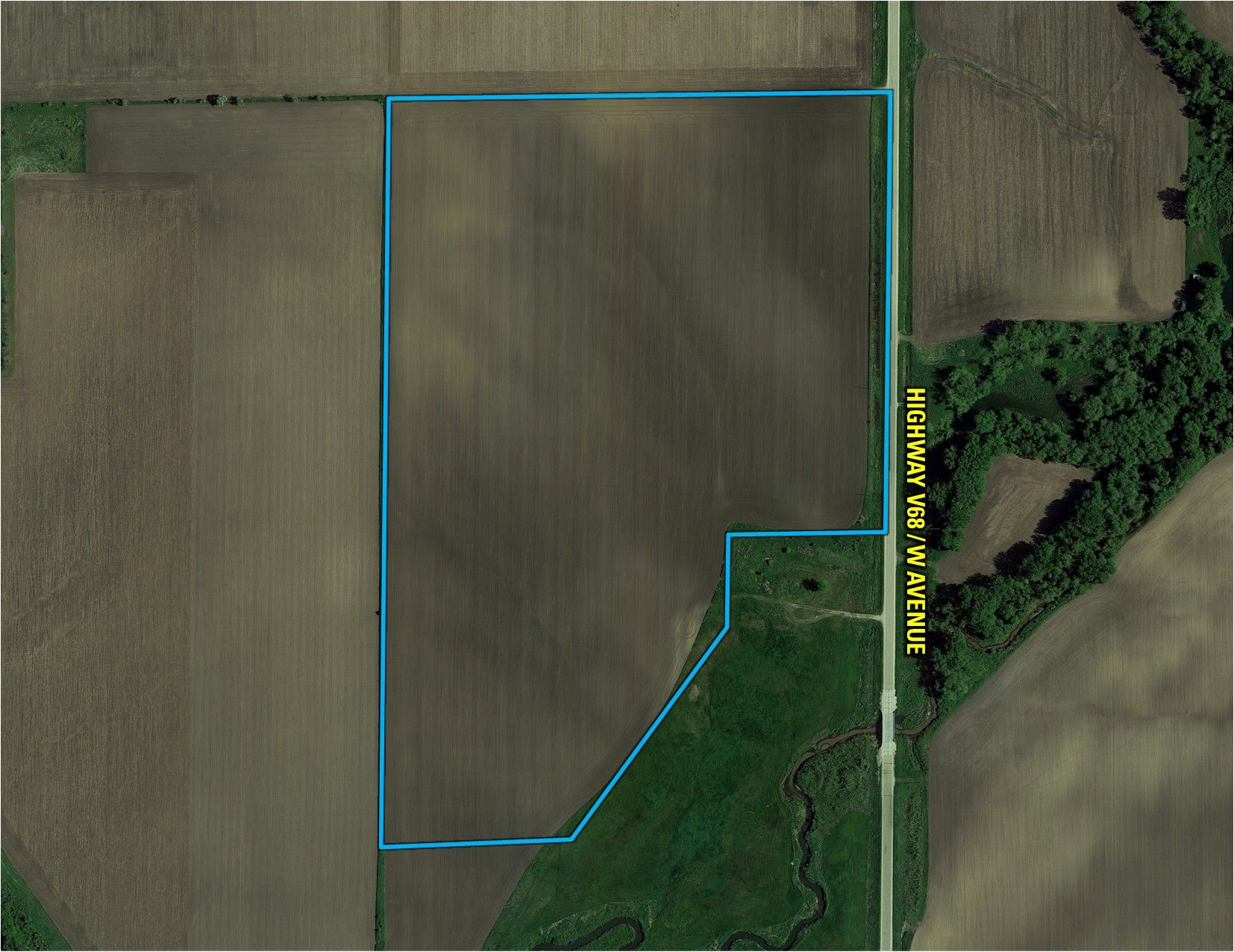
High-Quality 49-Acre Fayette County, Iowa Farm with Productive Tillable Acres – Listing #18492
Sold
Fayette County, IA
48.64 Acres M/L
48.64 Acres M/L
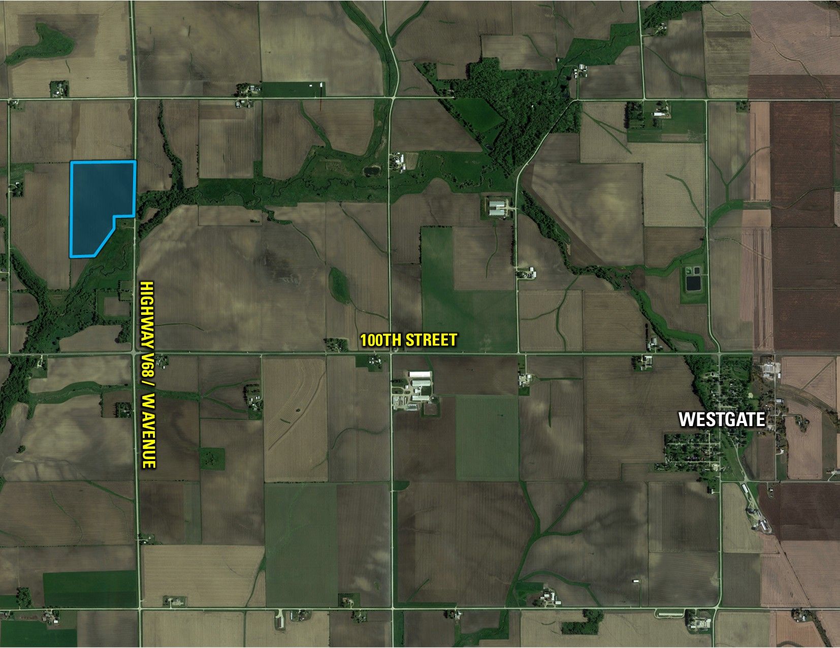
W Avenue
Westgate, IA 50681
| Price | $625,000 |
| Listing | #18492 |

Senior Land Agent
Travis Smock
Office: 855.800.LAND
Mobile: 319.361.8089
Travis.Smock@PeoplesCompany.com

Property Info
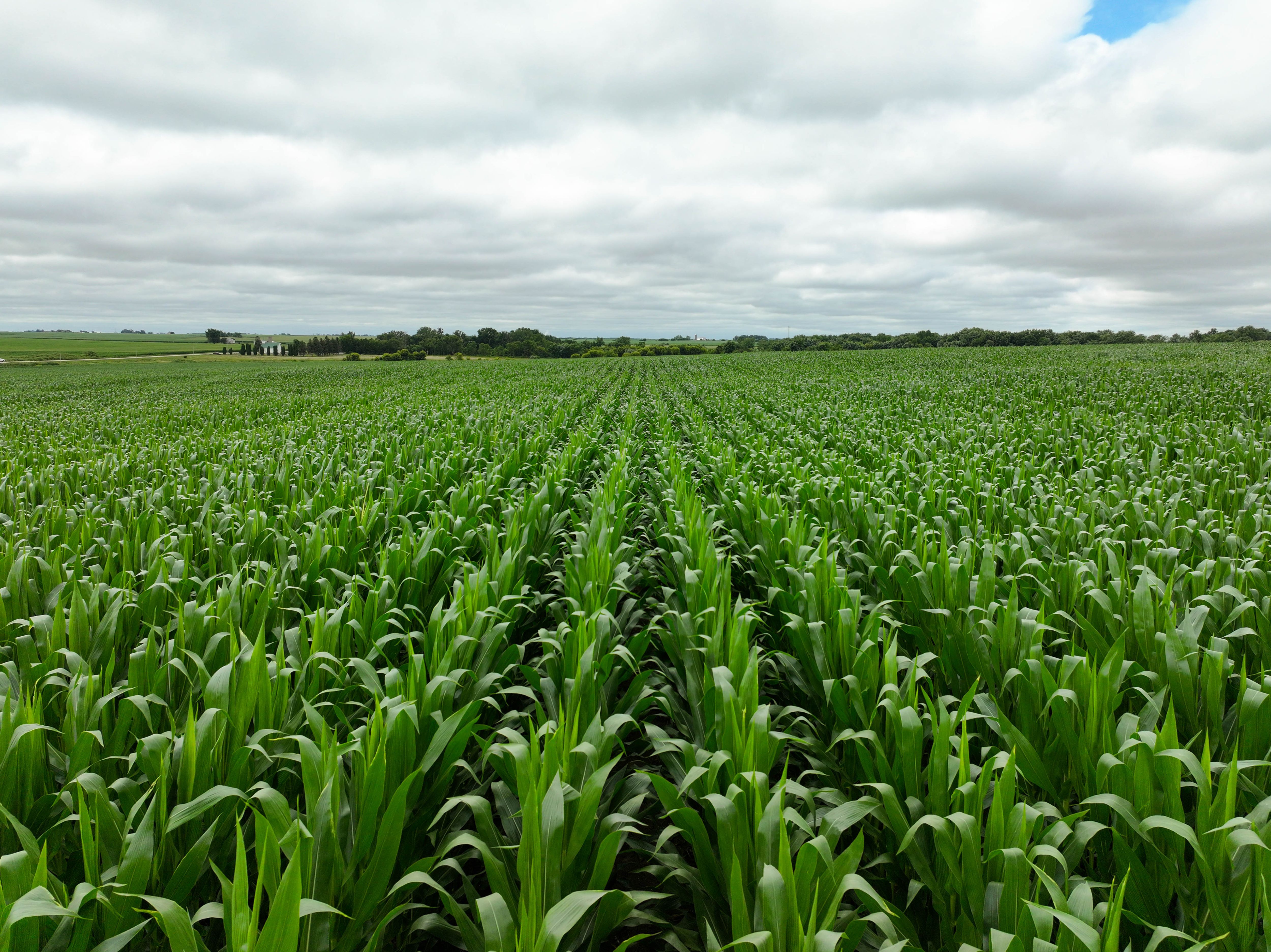
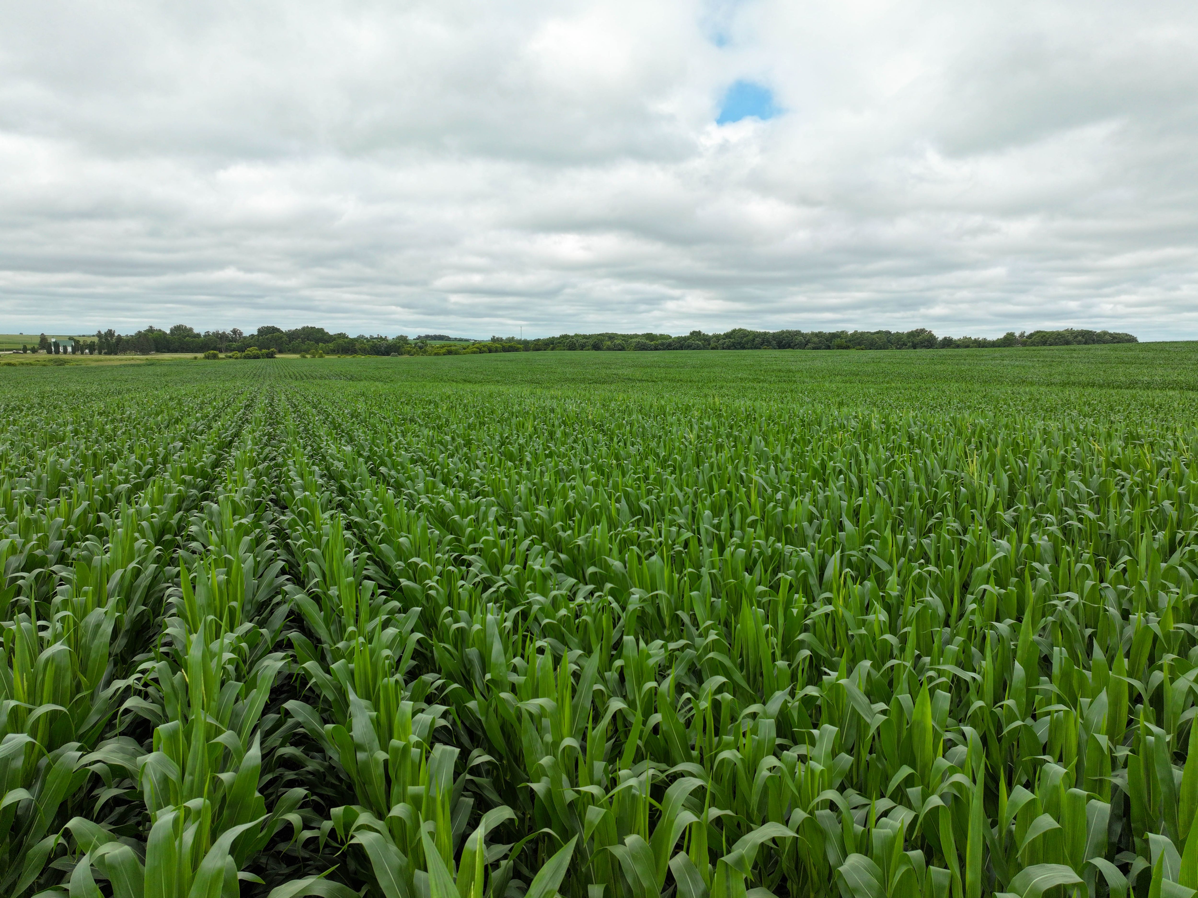
Description
Legal Description
Directions
- MLS Number: 722916
- Parcel Number: Part of 1317200007
- School District: West Central Community School District
- General Area: Northwest of Westgate
- Net Taxes: $1,736.00
- CSR2: 84.5
- Zoning: Agriculture
Interactive Map
Use the Interactive Map to explore the property's regional location. Zoom in and out to see the property's surroundings and toggle various mapping layers on and off in the Map Layer Menu.
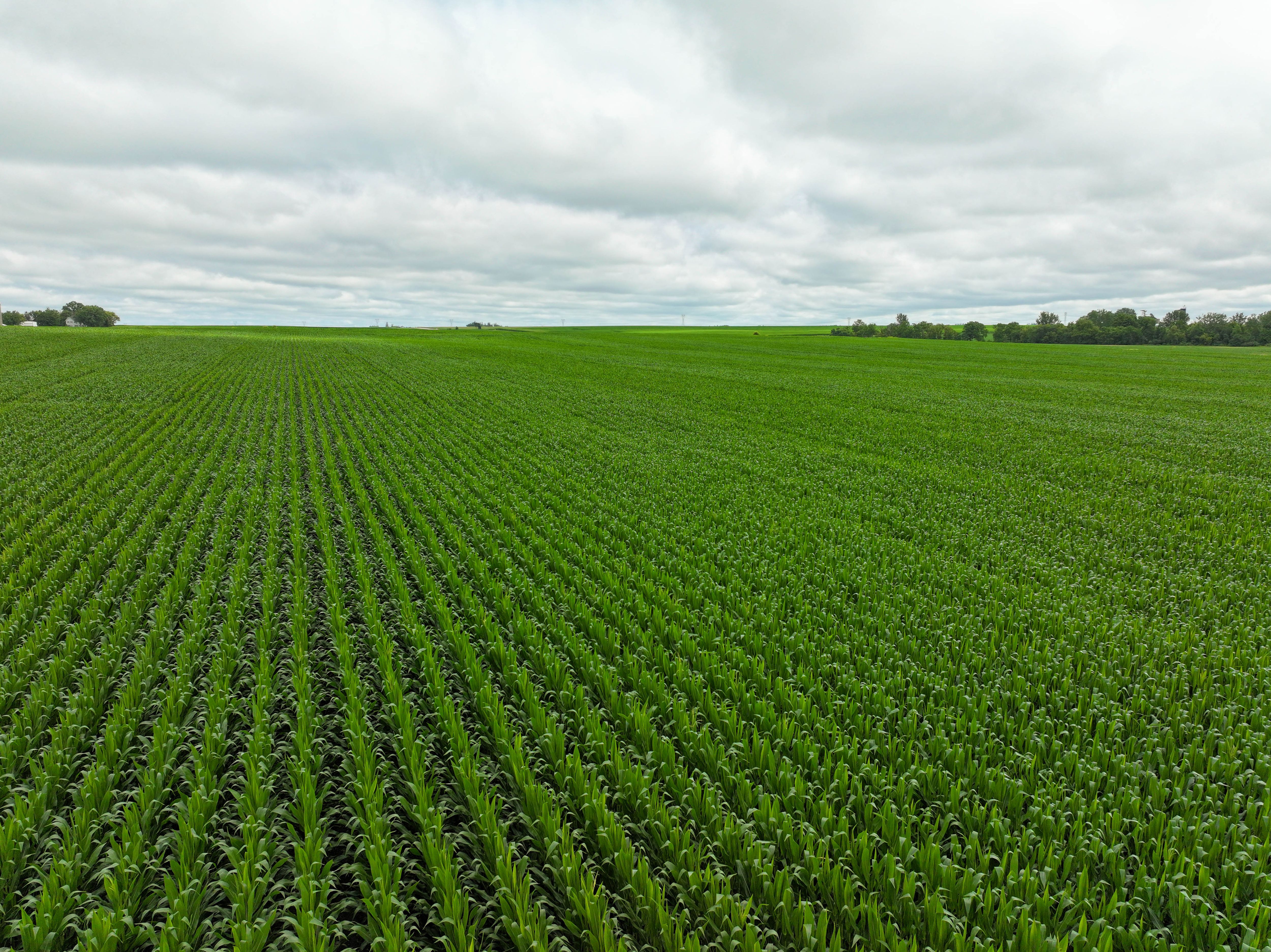
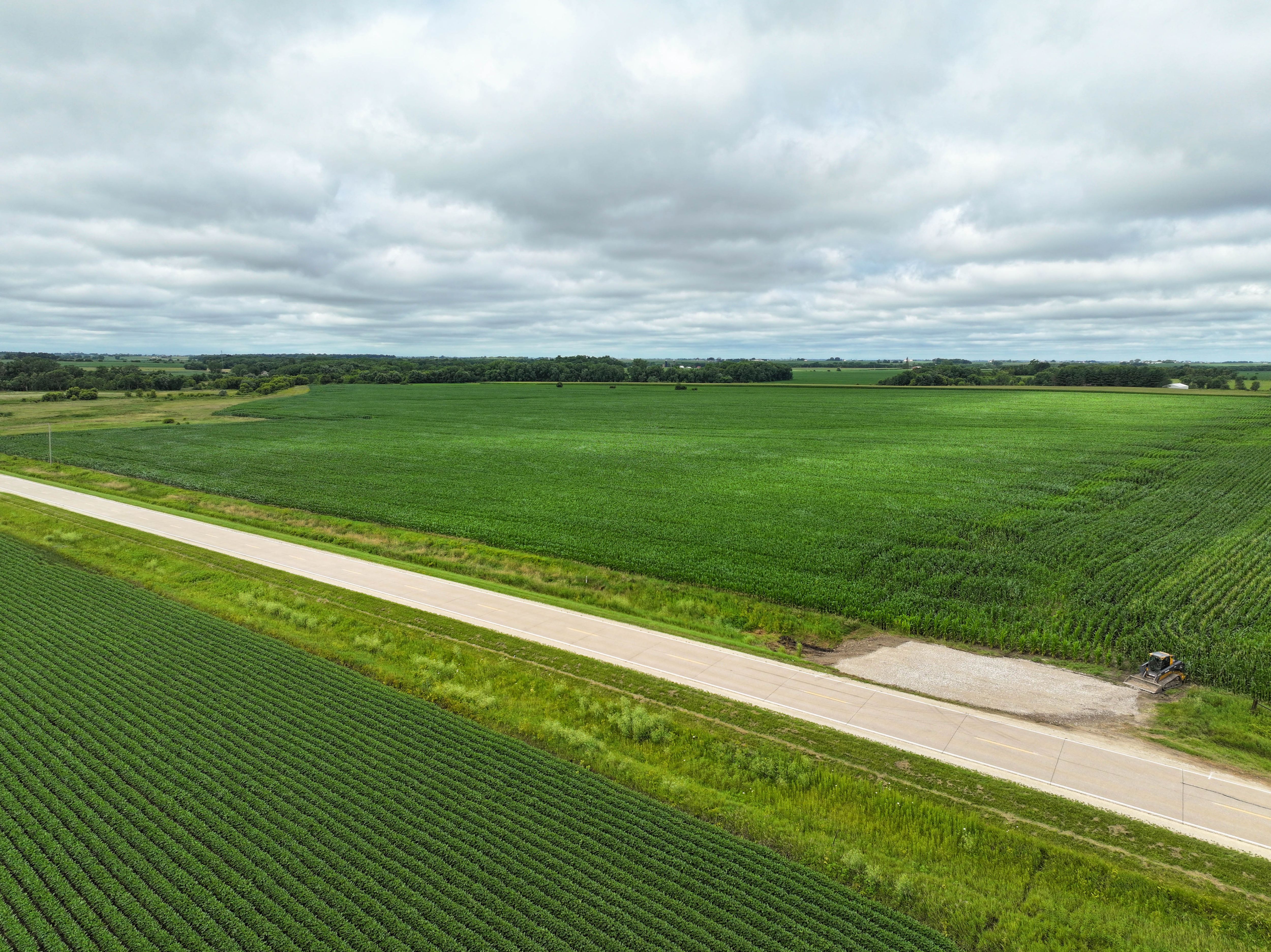
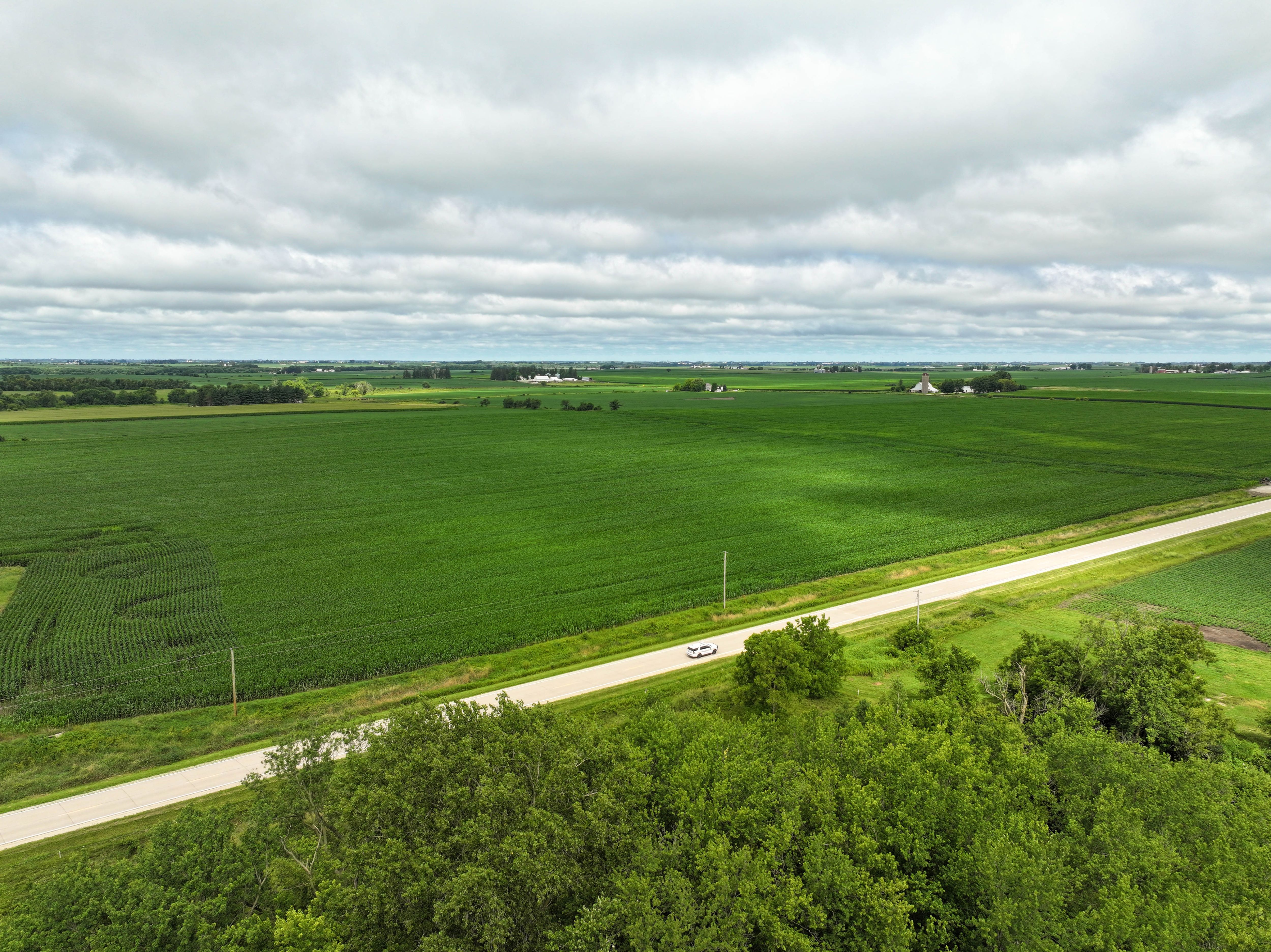
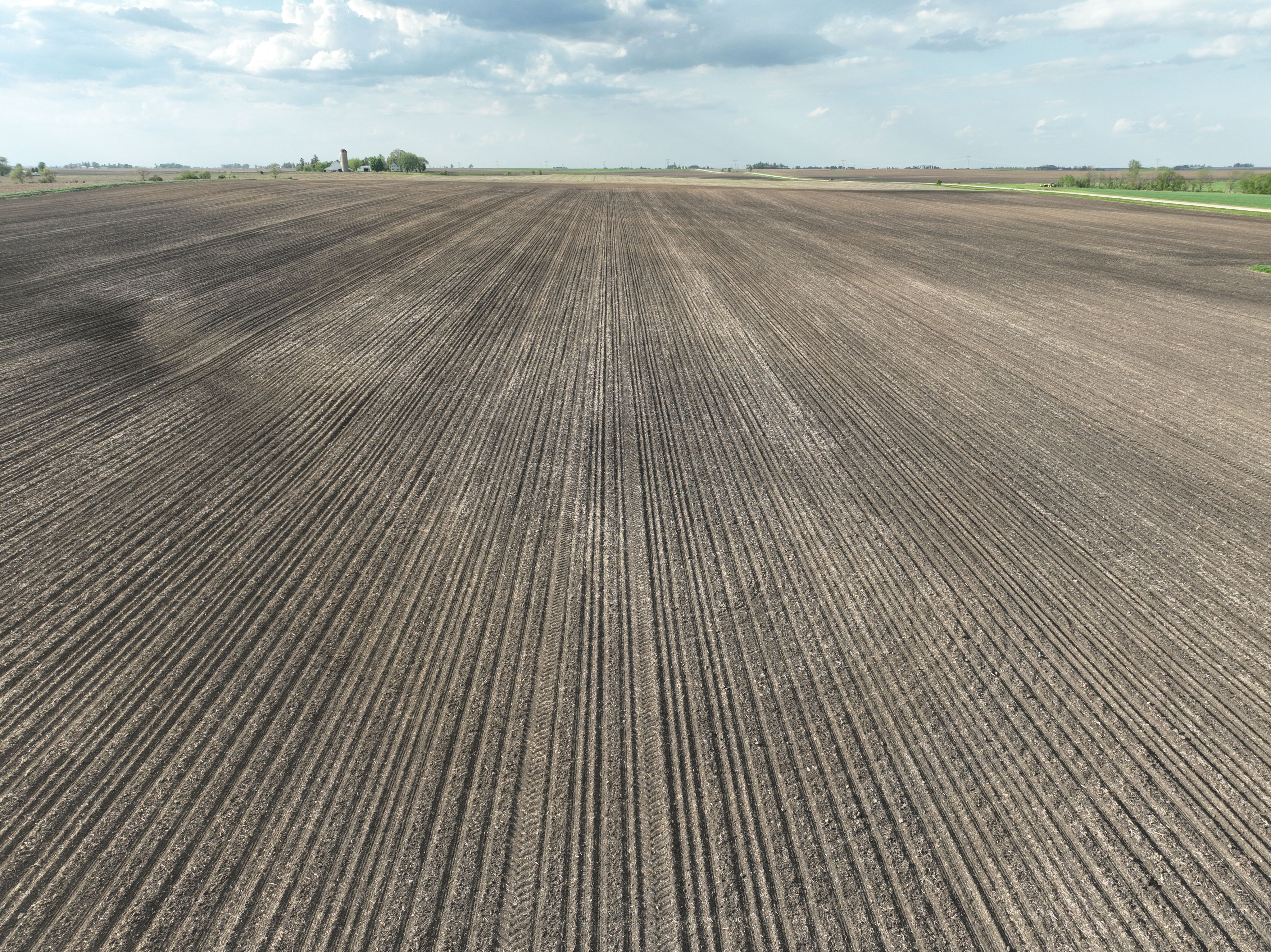
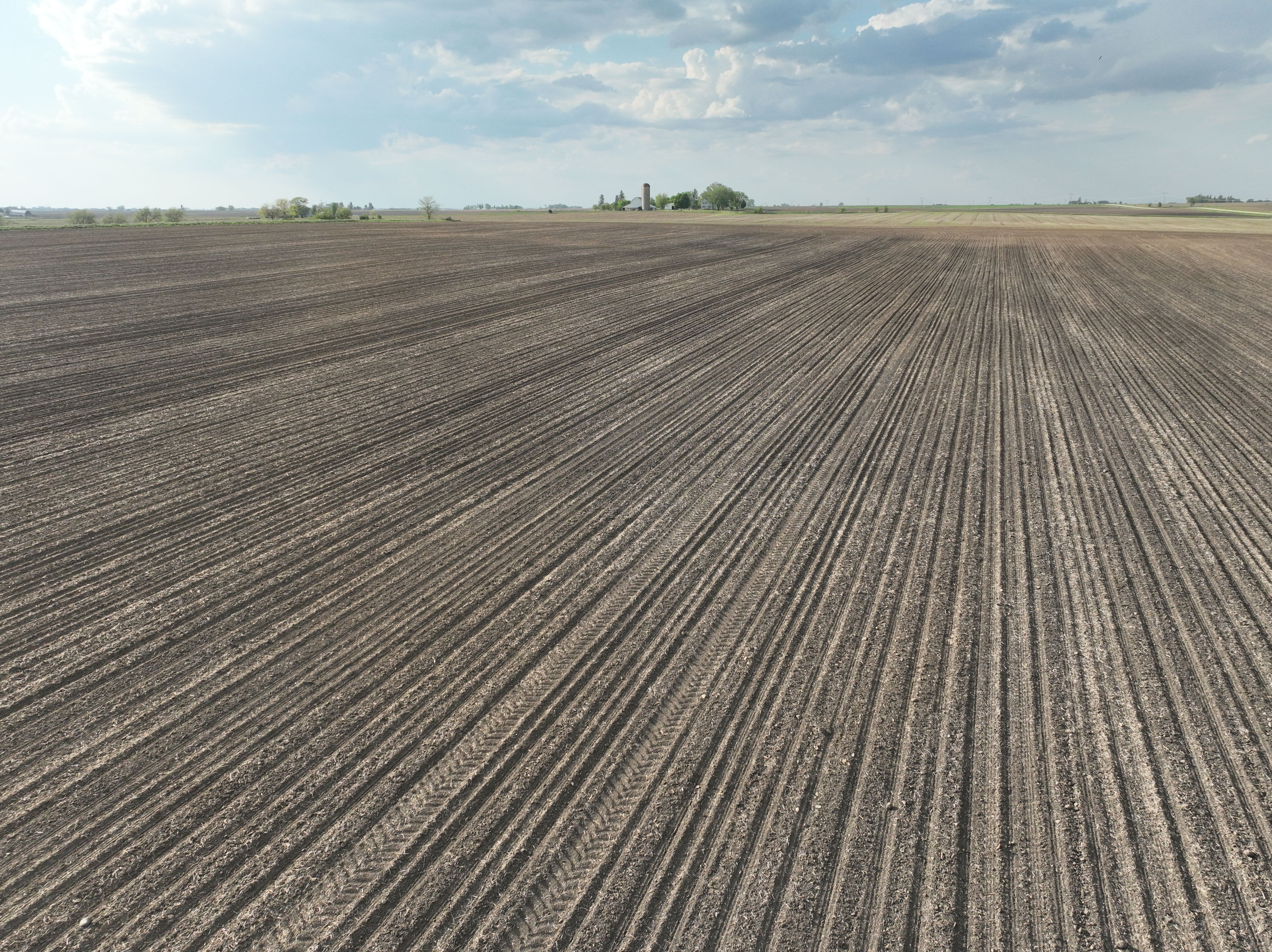
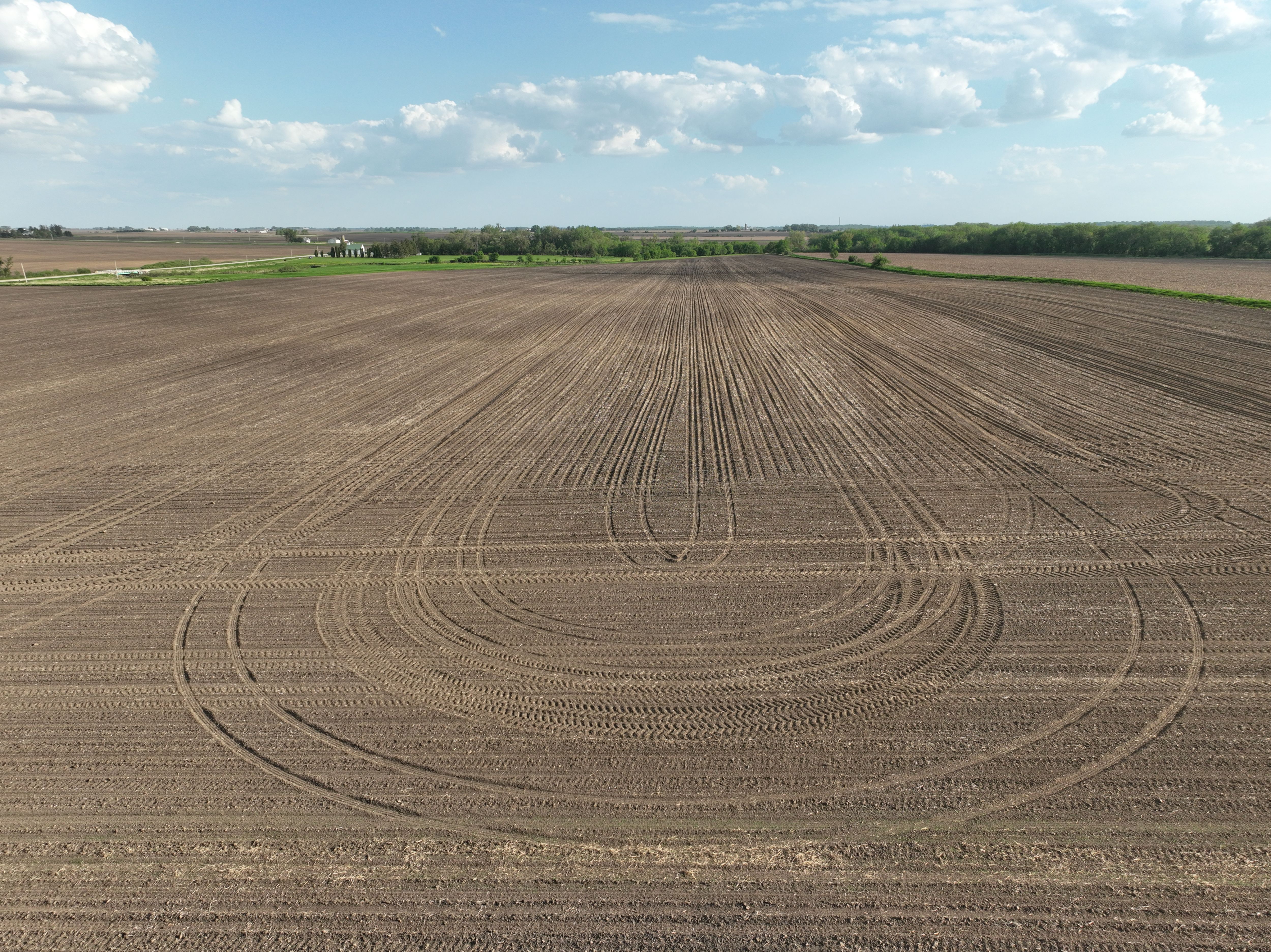
Photos