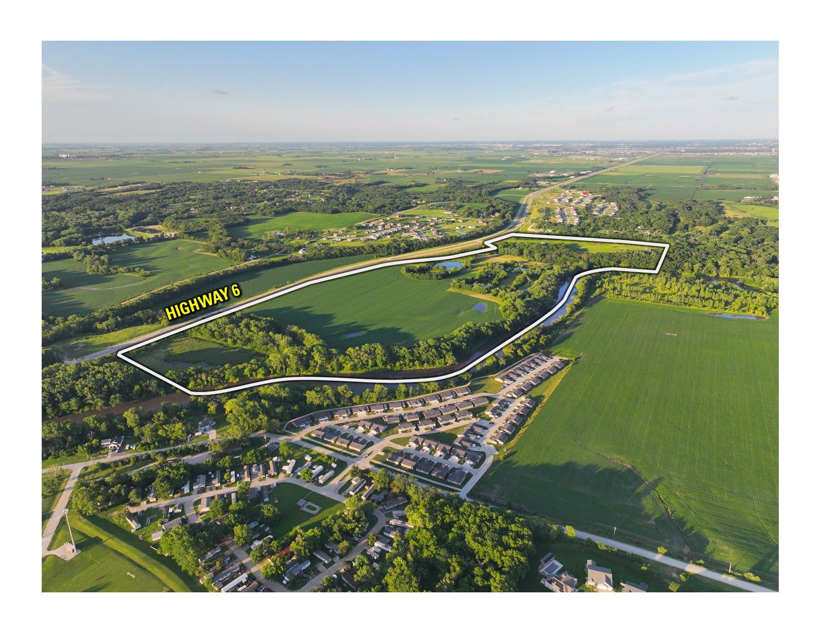
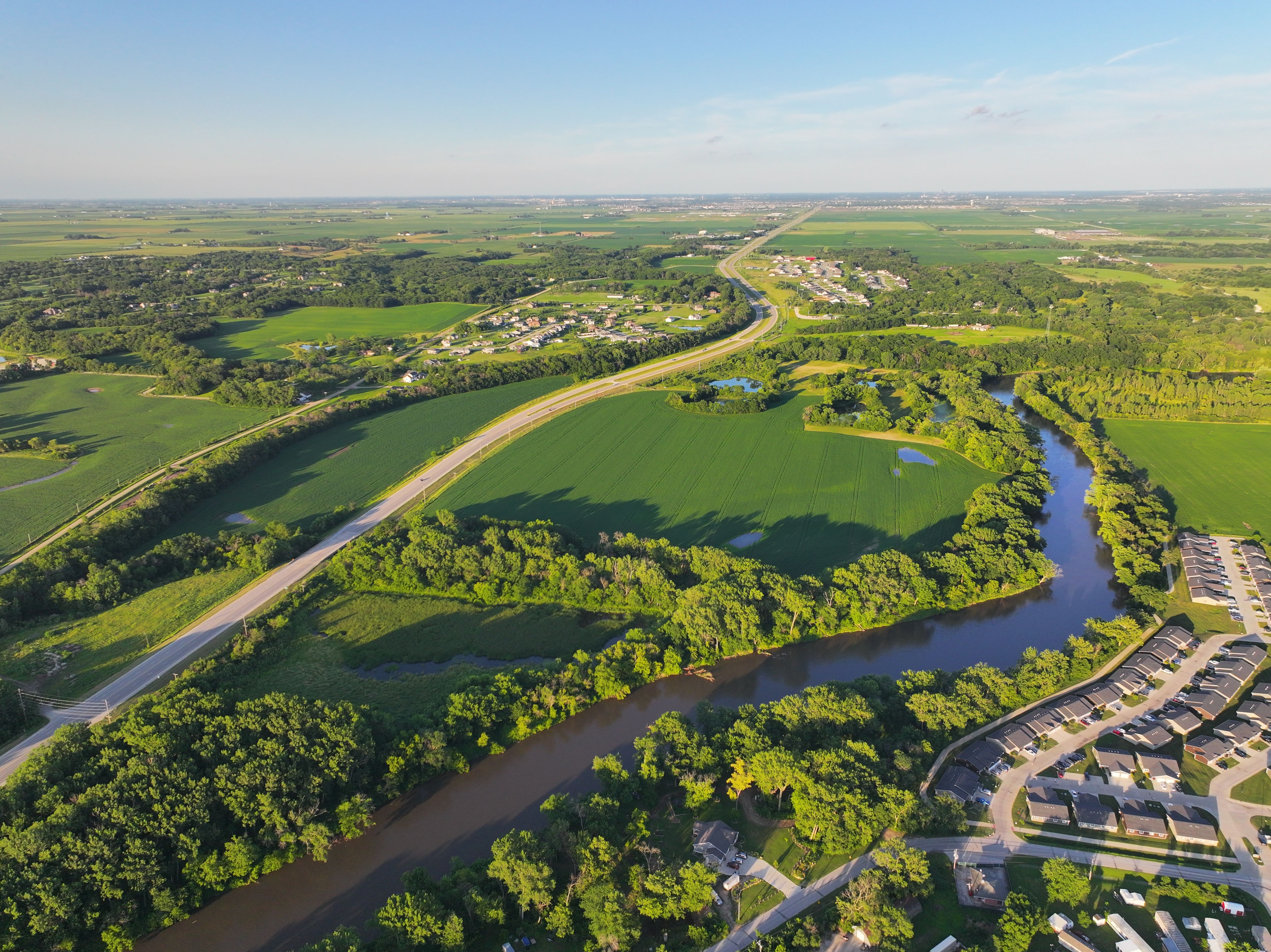
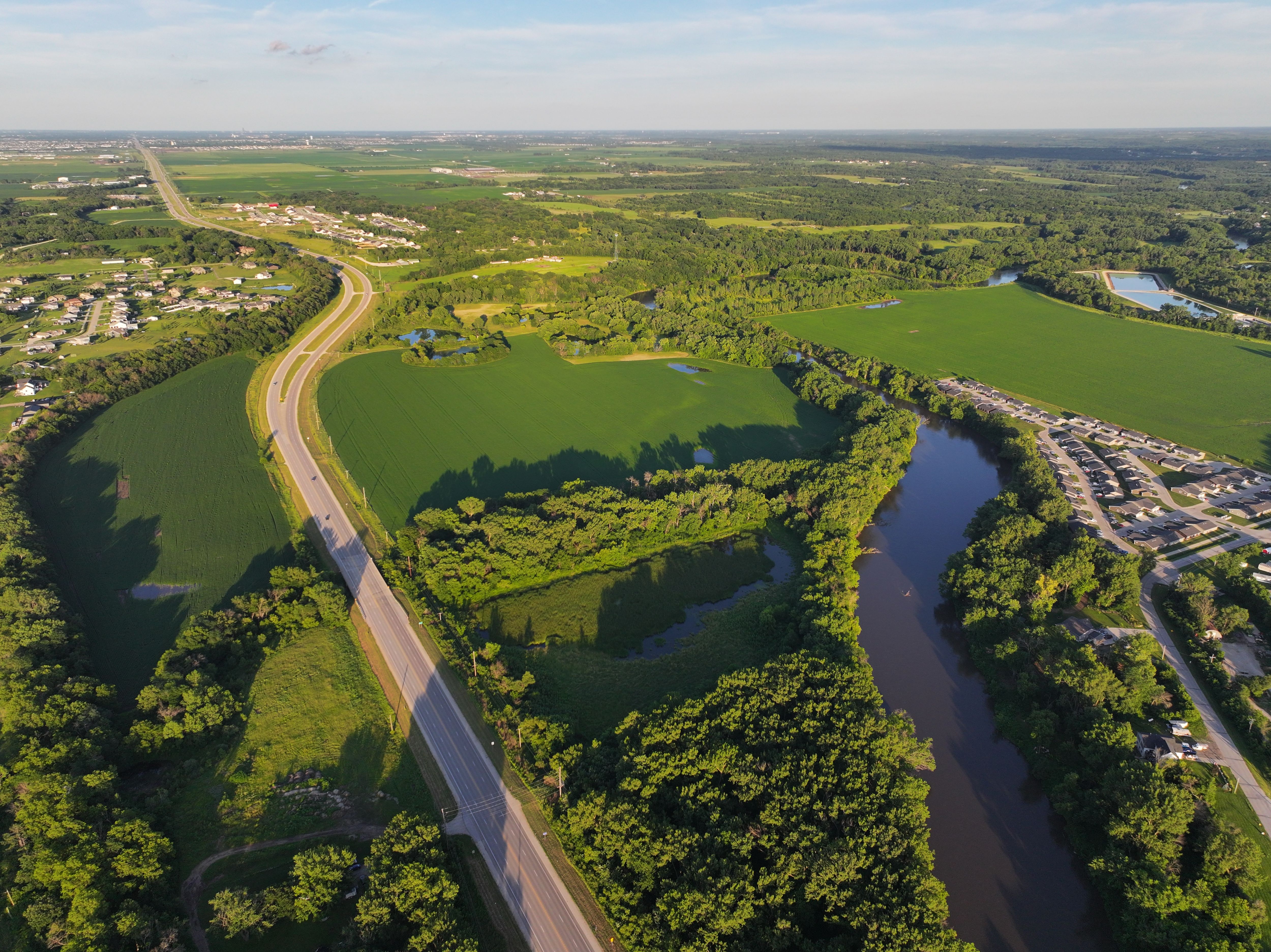
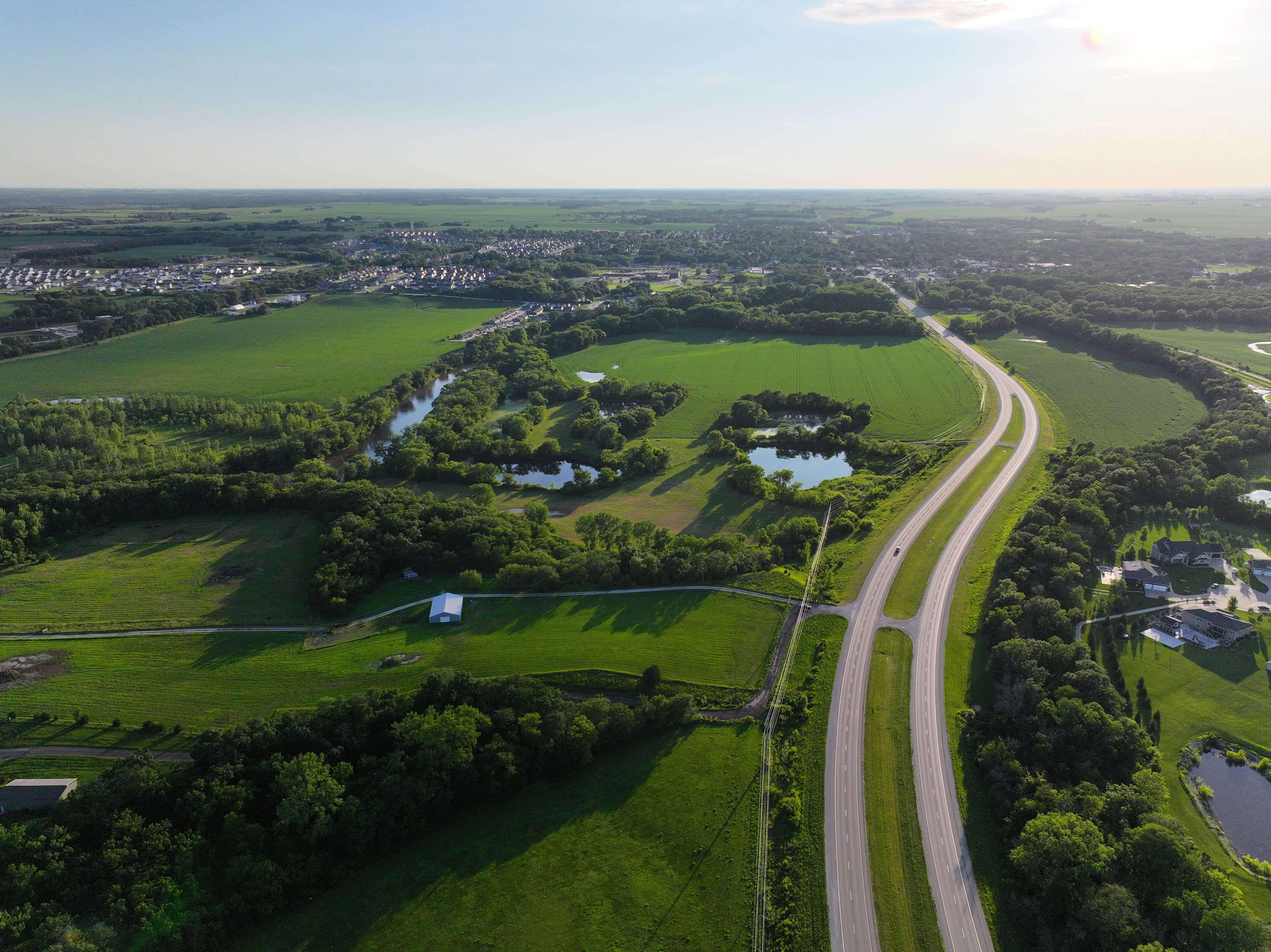
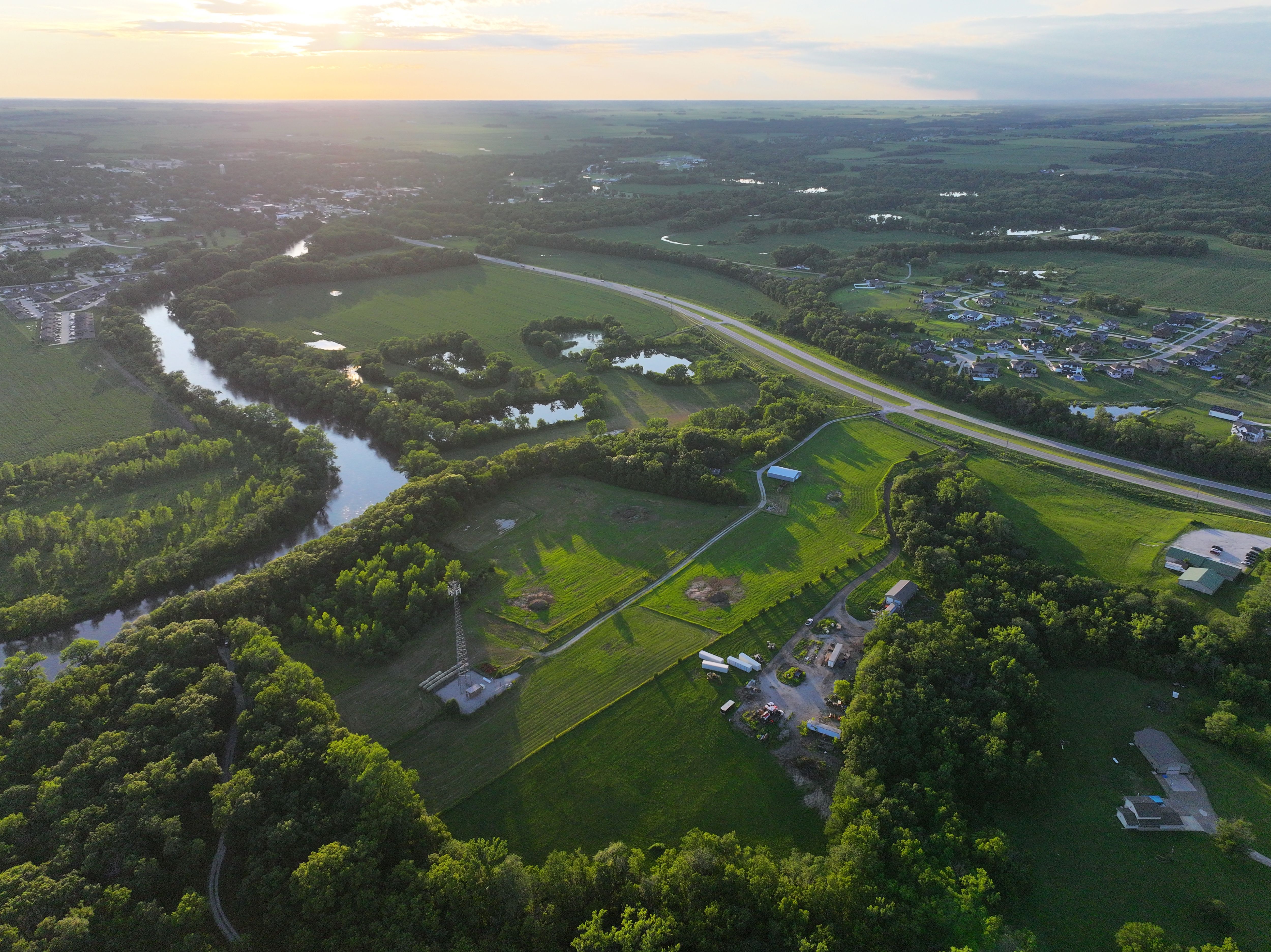
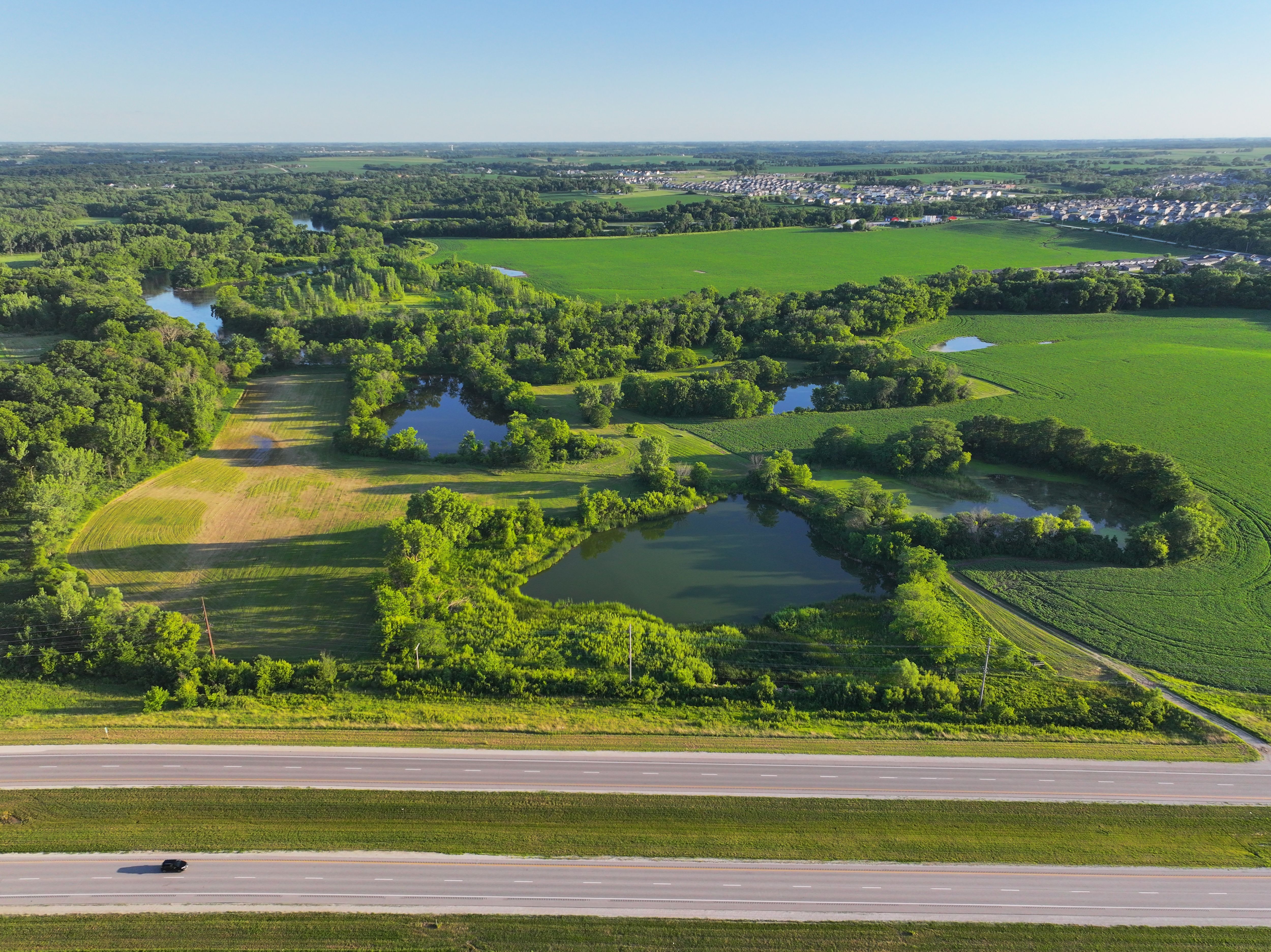
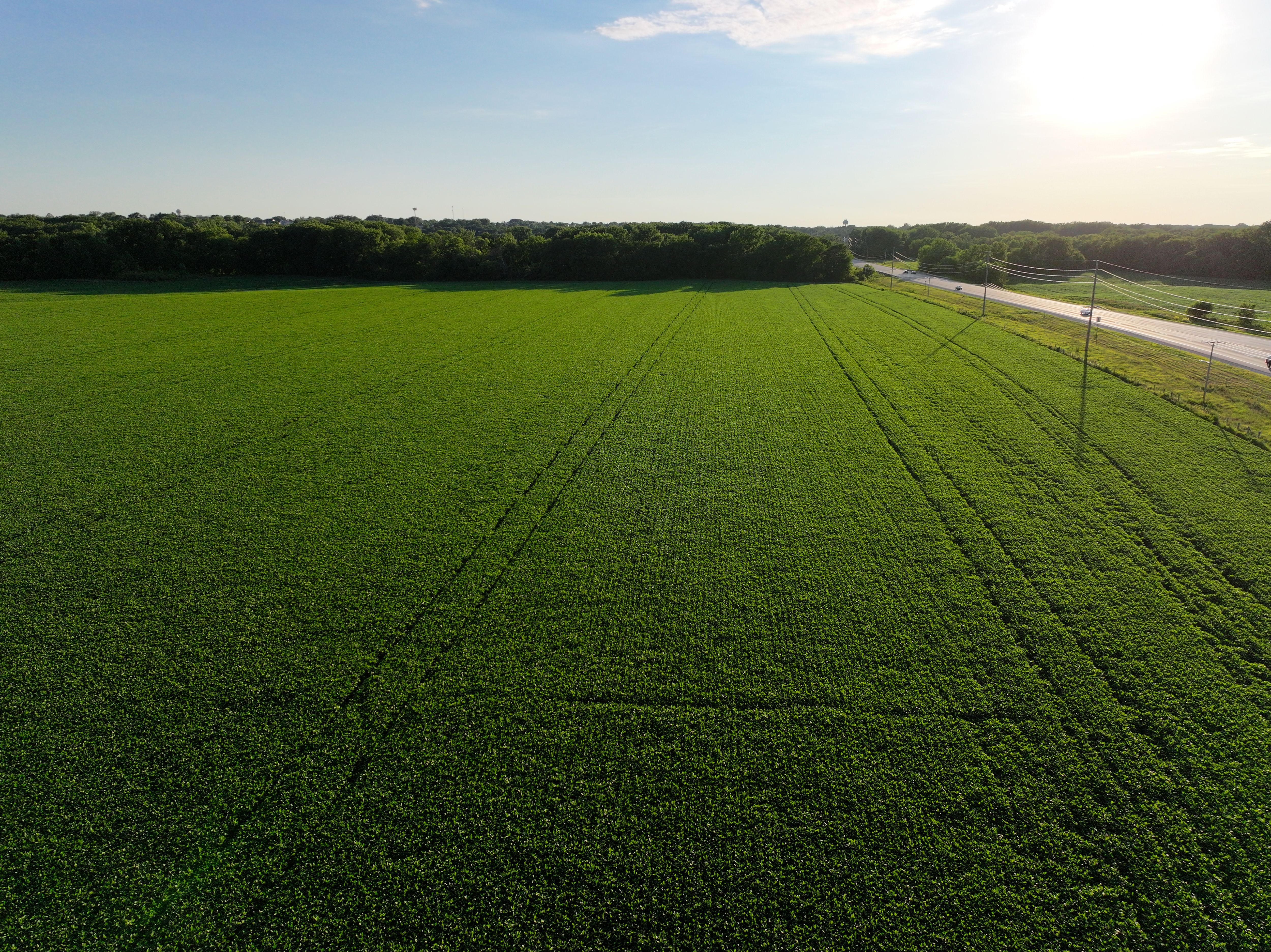
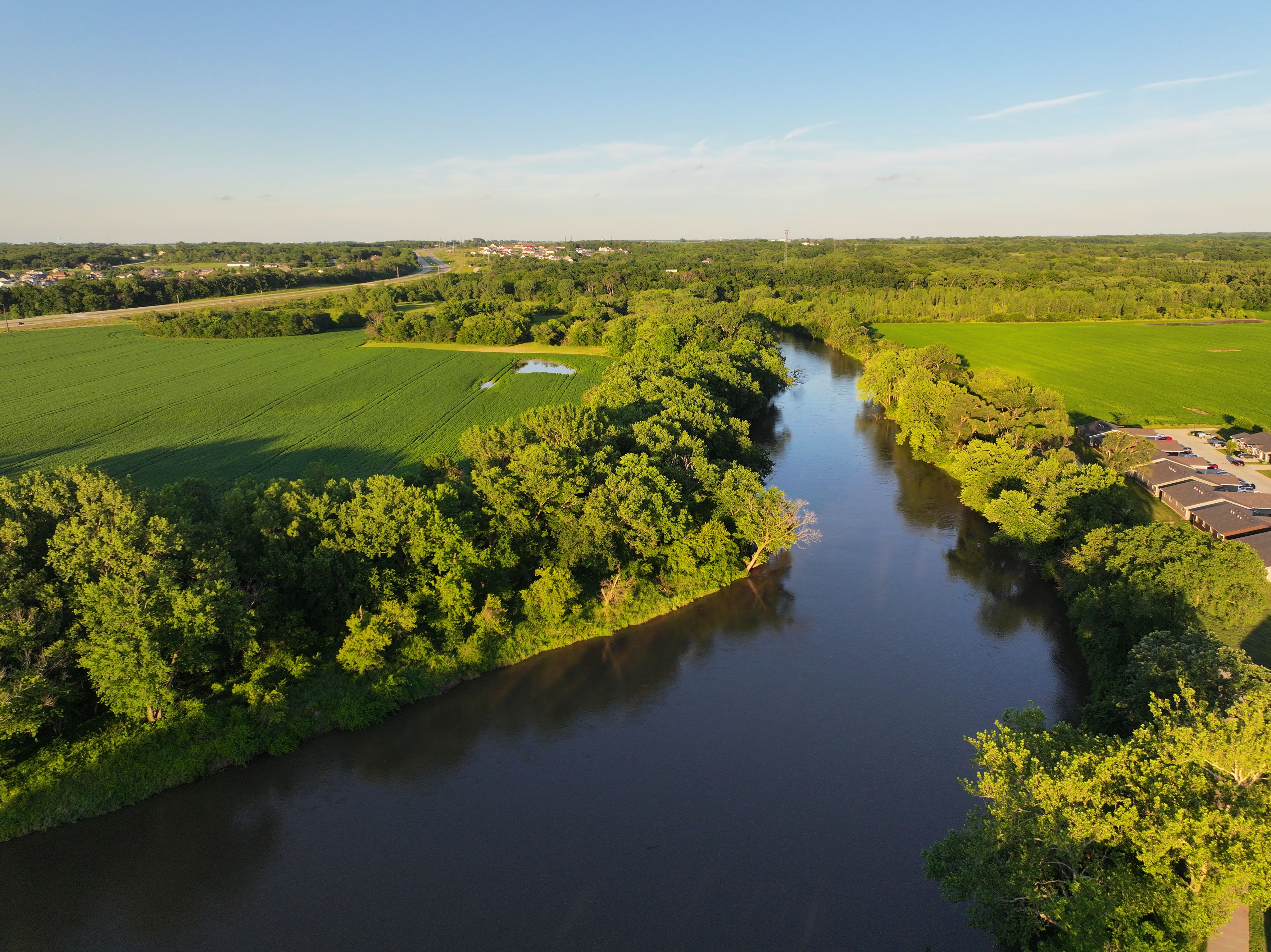
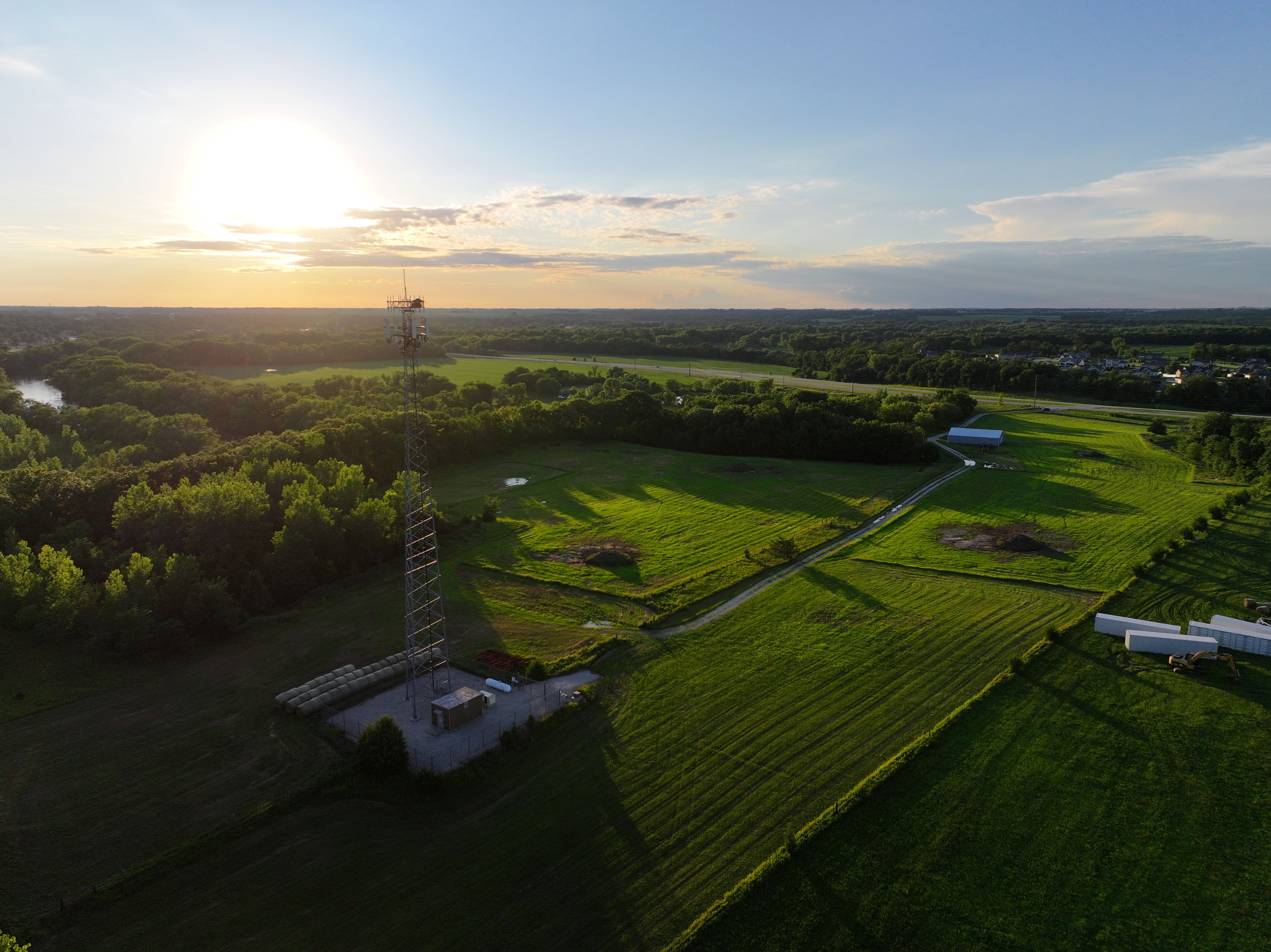
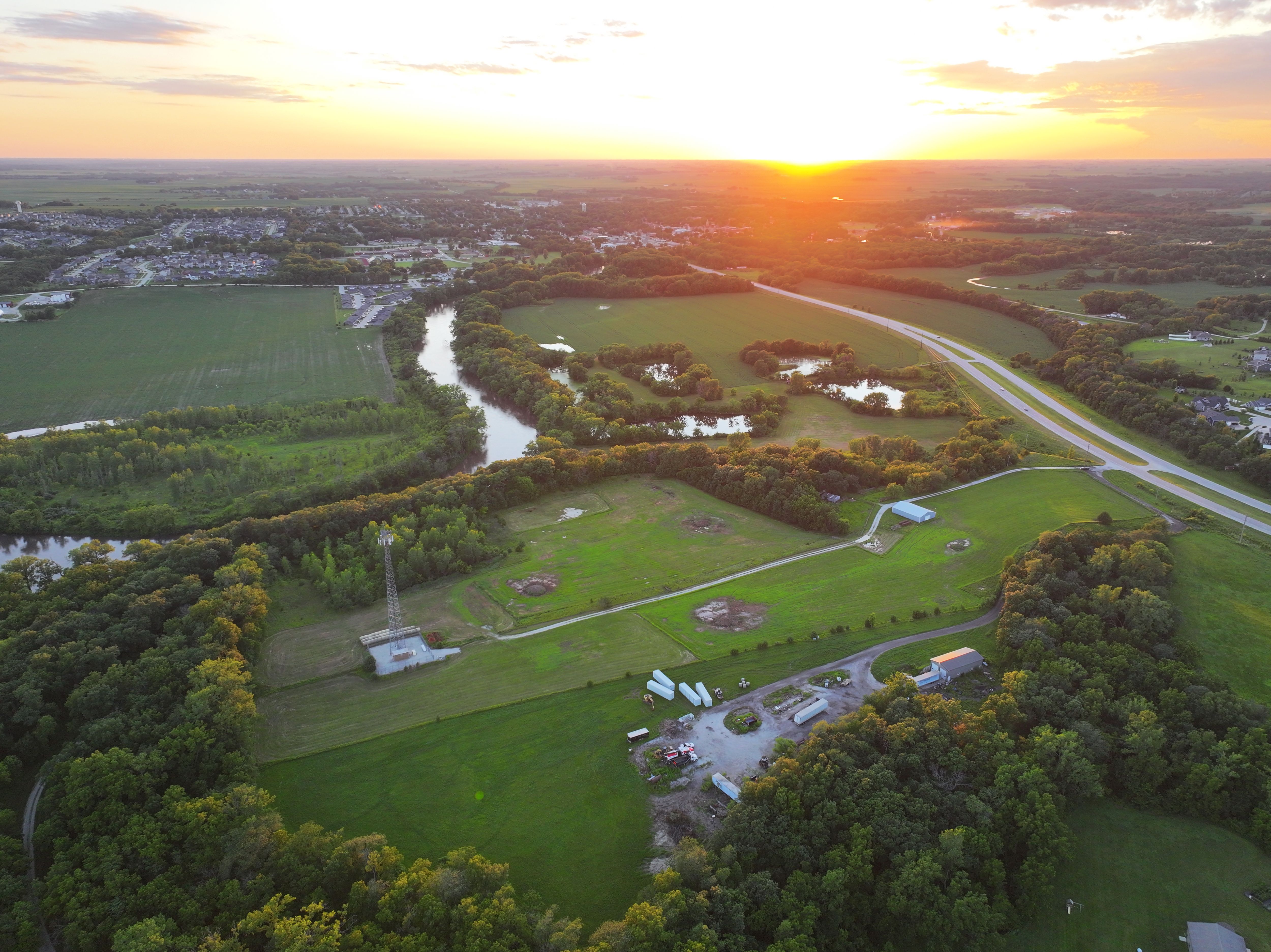
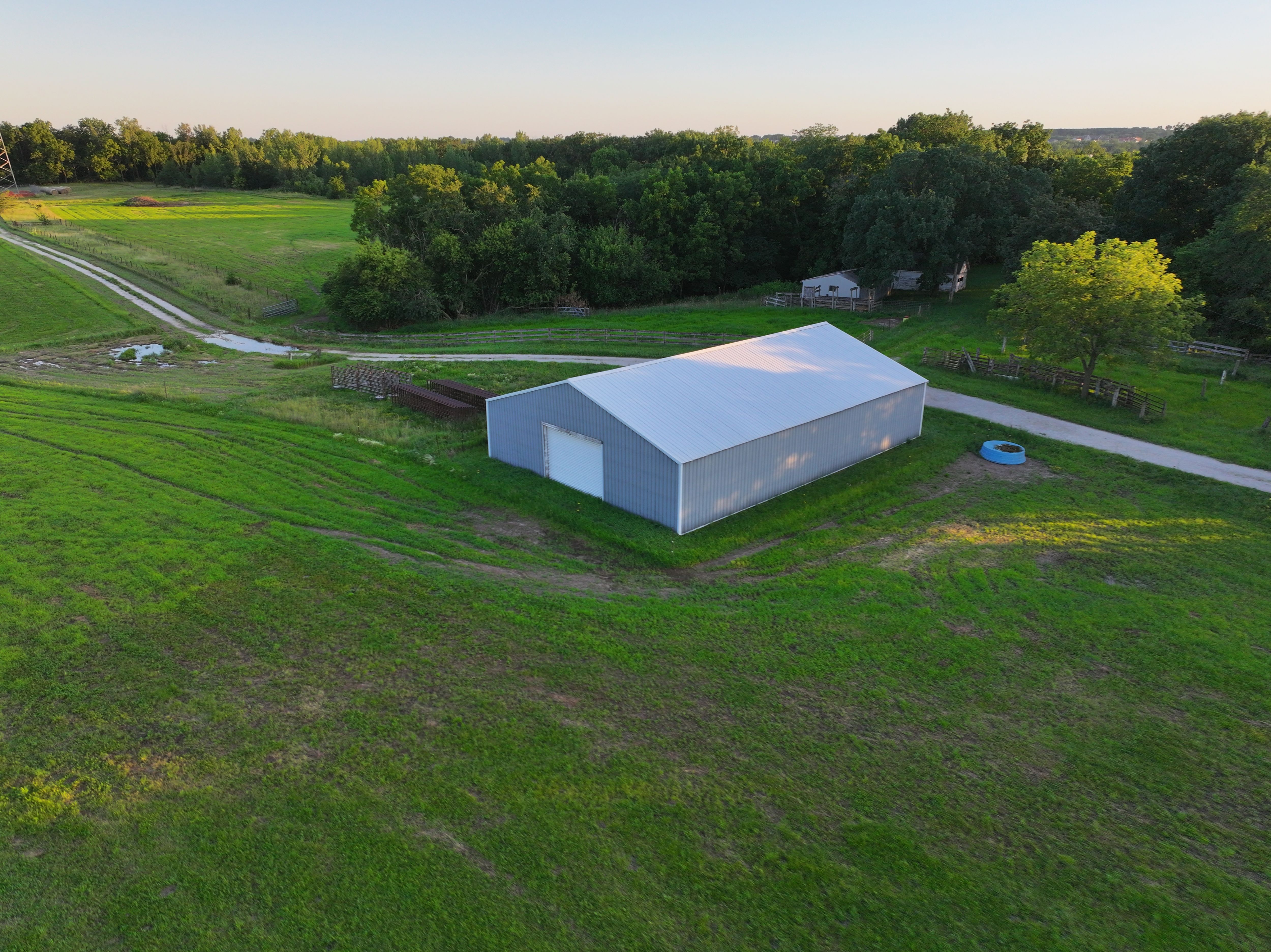
156.45 Acres for Sale in Dallas County, Iowa
Pending
Dallas County, IA
156.45 Acres M/L
156.45 Acres M/L
Highway 6
Adel, IA 50003
| Price | $2,346,750 |
| Listing | #18409 |

Land Development Advisor
Eric Bohnenkamp
Office: 515.529.5475
Mobile: 712.540.3756
Eric.Bohnenkamp@PeoplesCompany.com
Property Info
Description
Legal Description
Directions
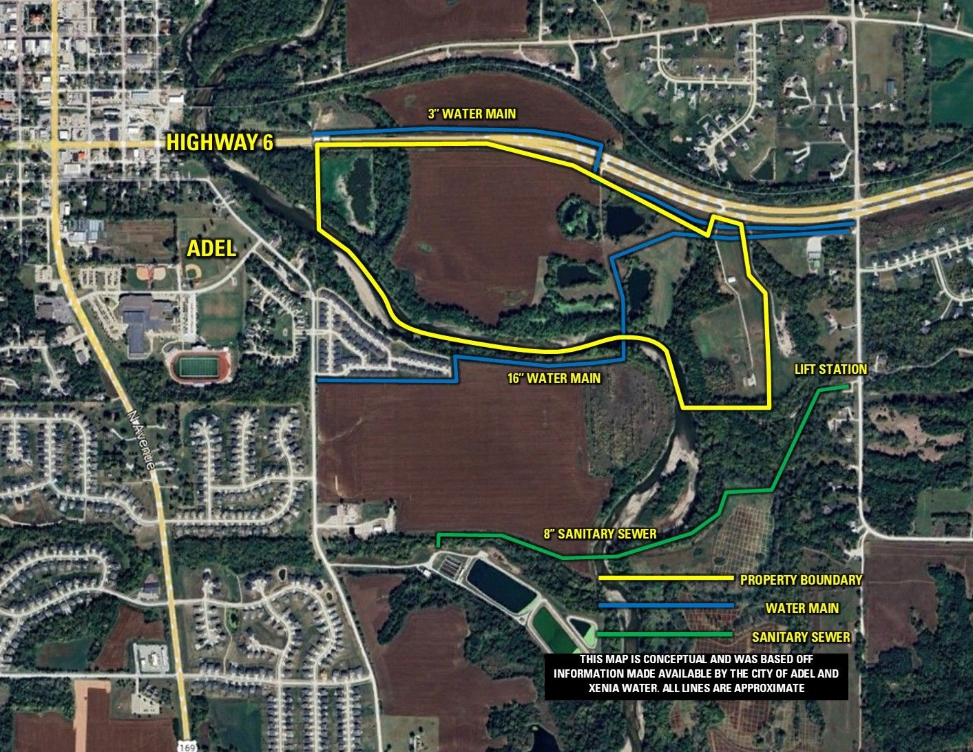
Improvements
- MLS Number: 728627
- Parcel Number: 1133100003, 1133100005, 1133200016, 1133200005, 1133200014, 1133200021, 1133200020, 1133100010, 1133100009
- School District: ADM Community Schools
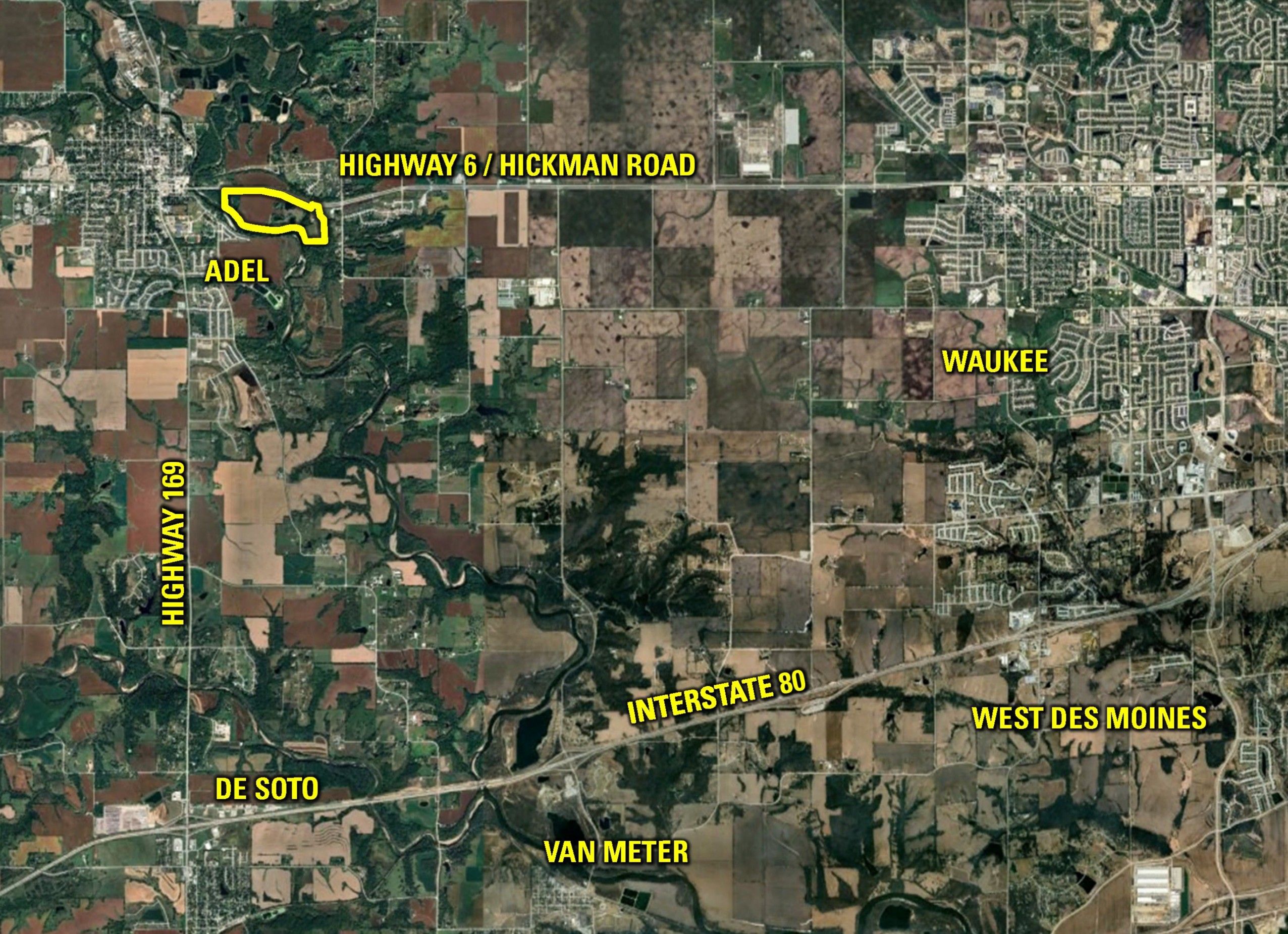
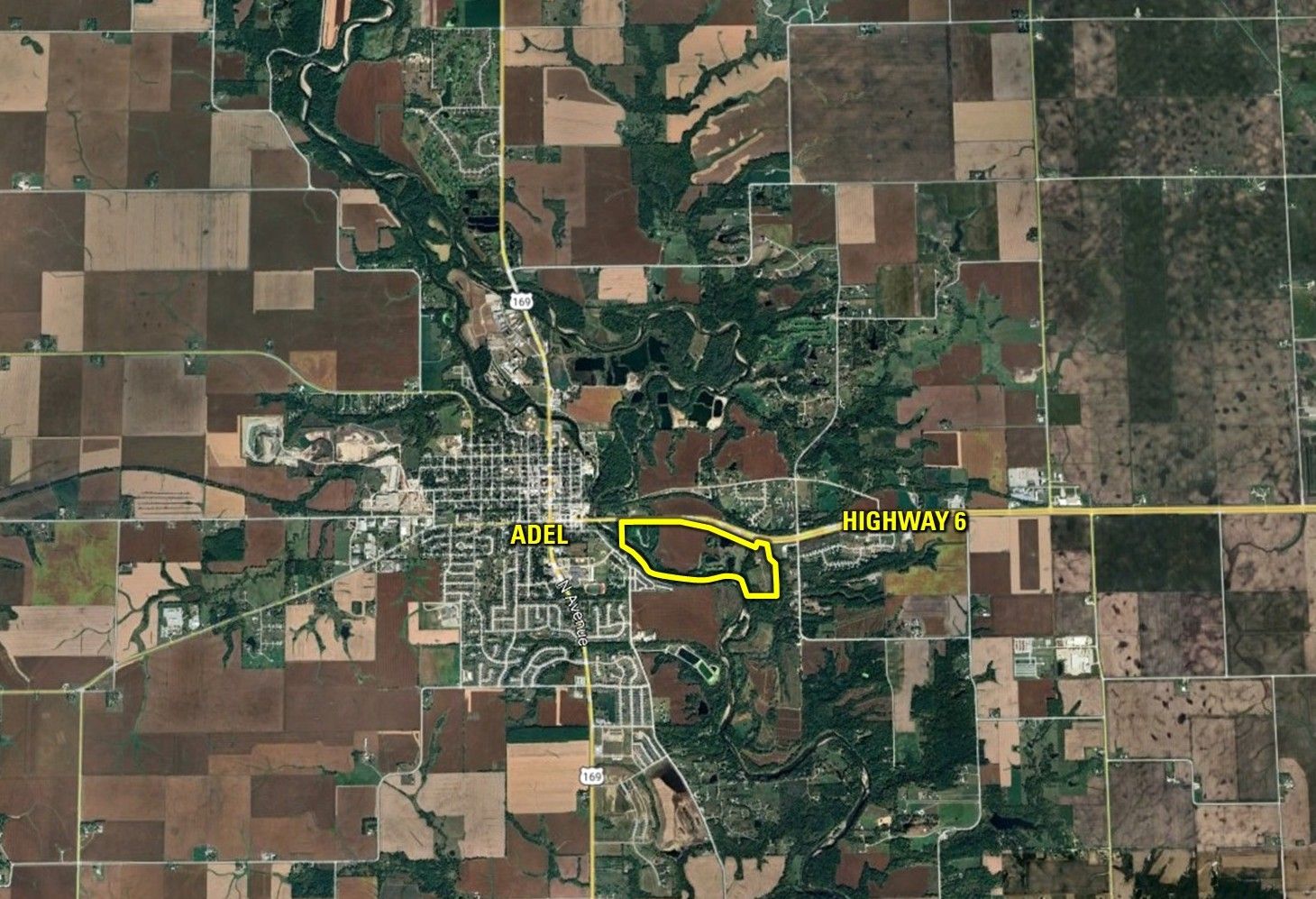
- General Area: East of Adel
- Net Taxes: $2,487.00
- CSR2: 71.0
- Water: Xenia Rural Water
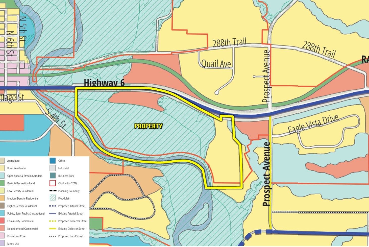
- Zoning: Agriculture
Interactive Map
Use the Interactive Map to explore the property's regional location. Zoom in and out to see the property's surroundings and toggle various mapping layers on and off in the Map Layer Menu.
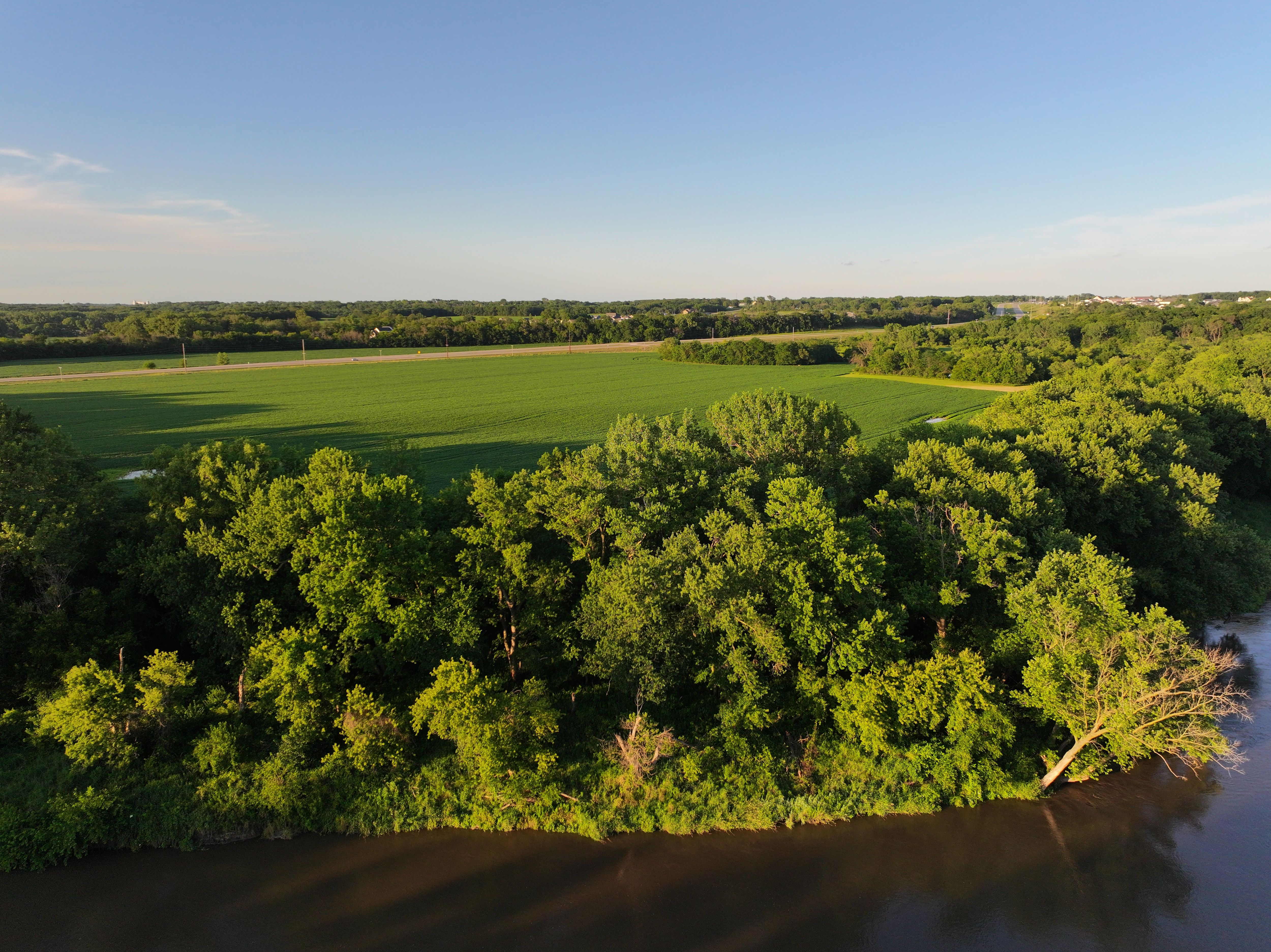
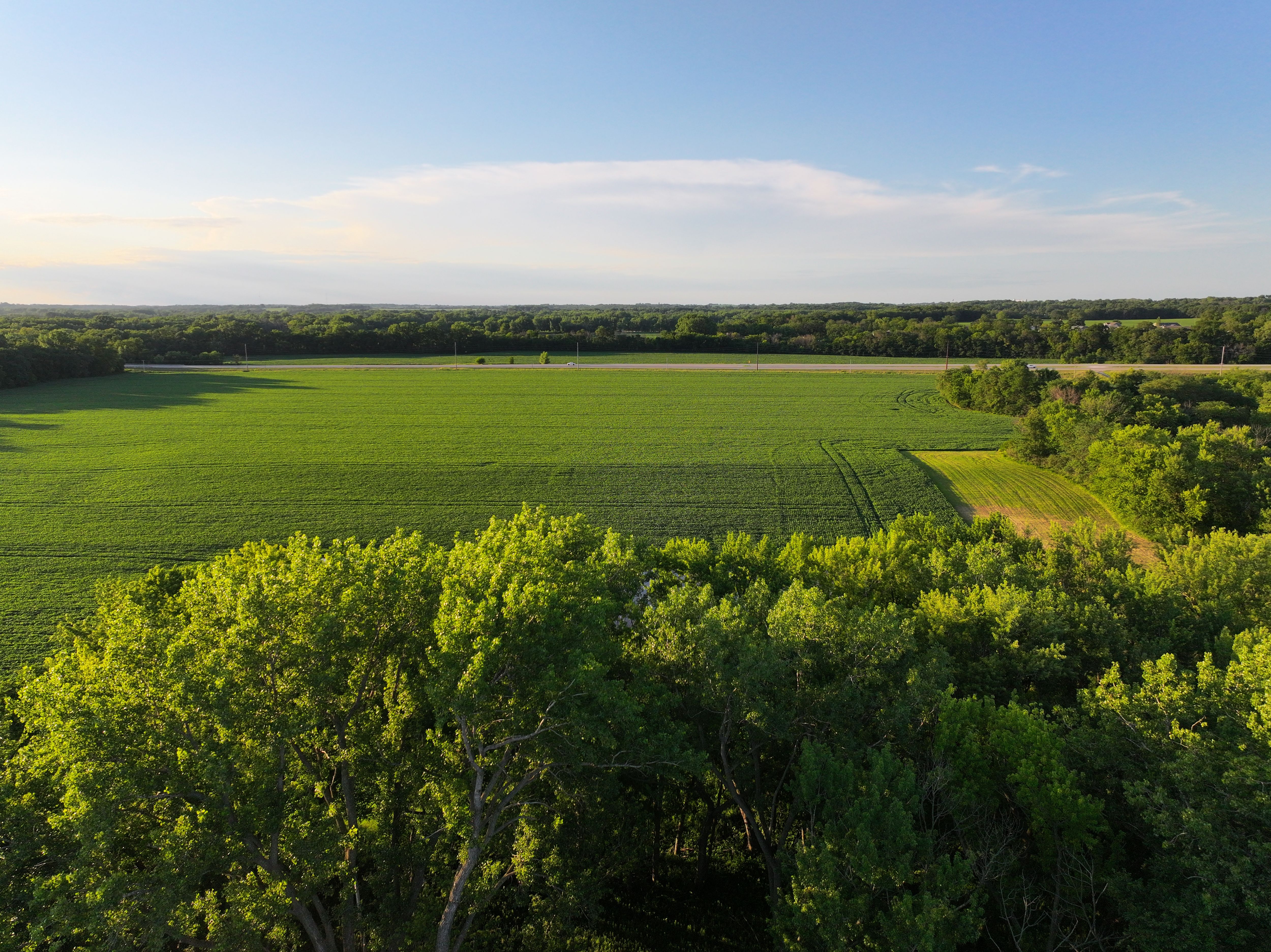
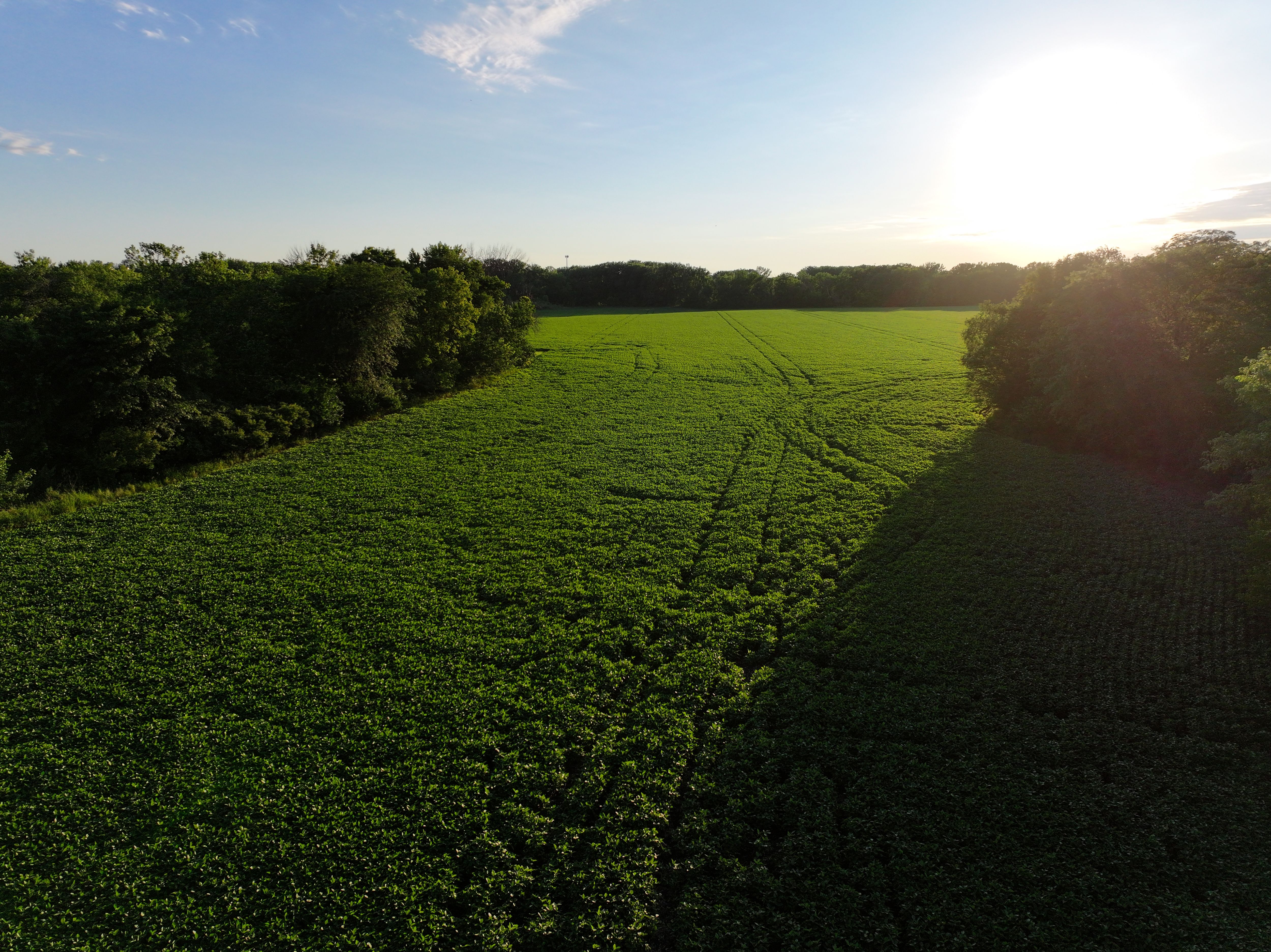
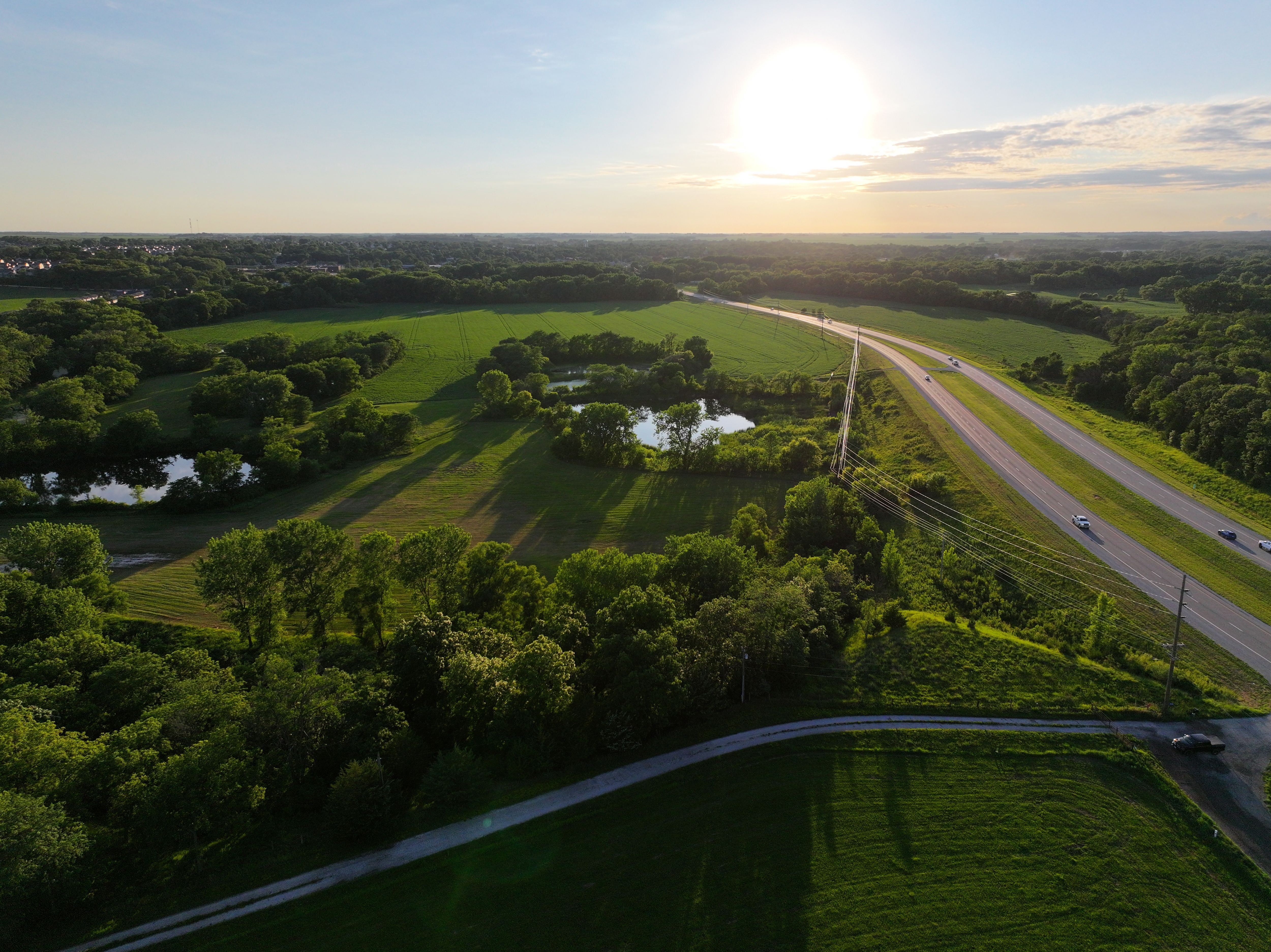
Photos