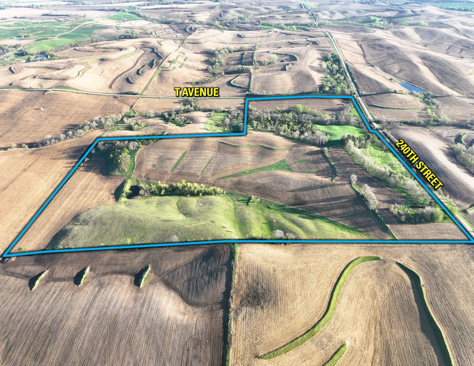
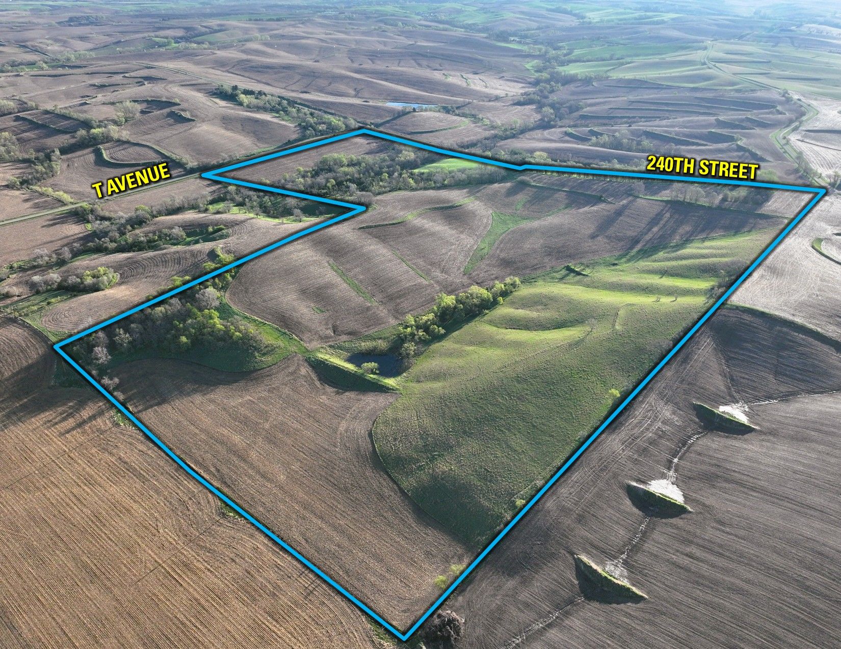
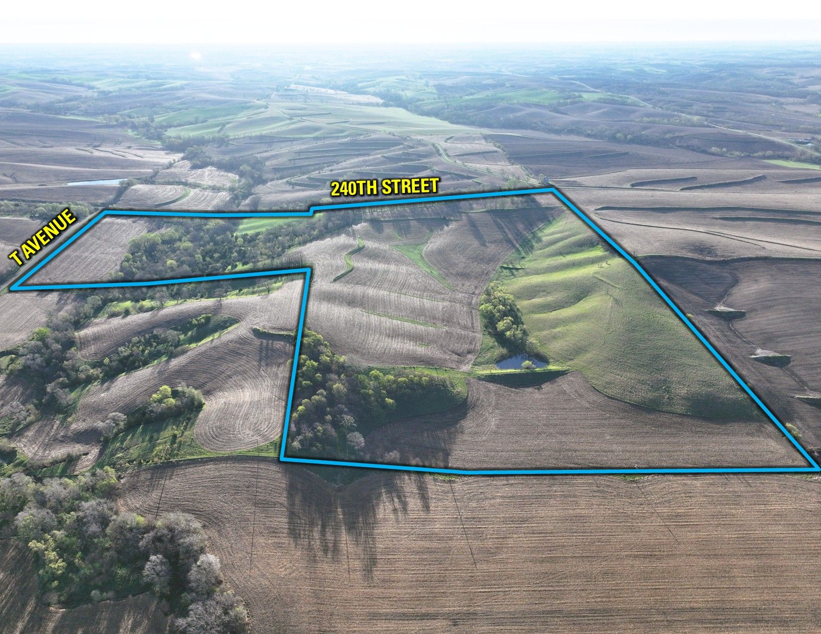
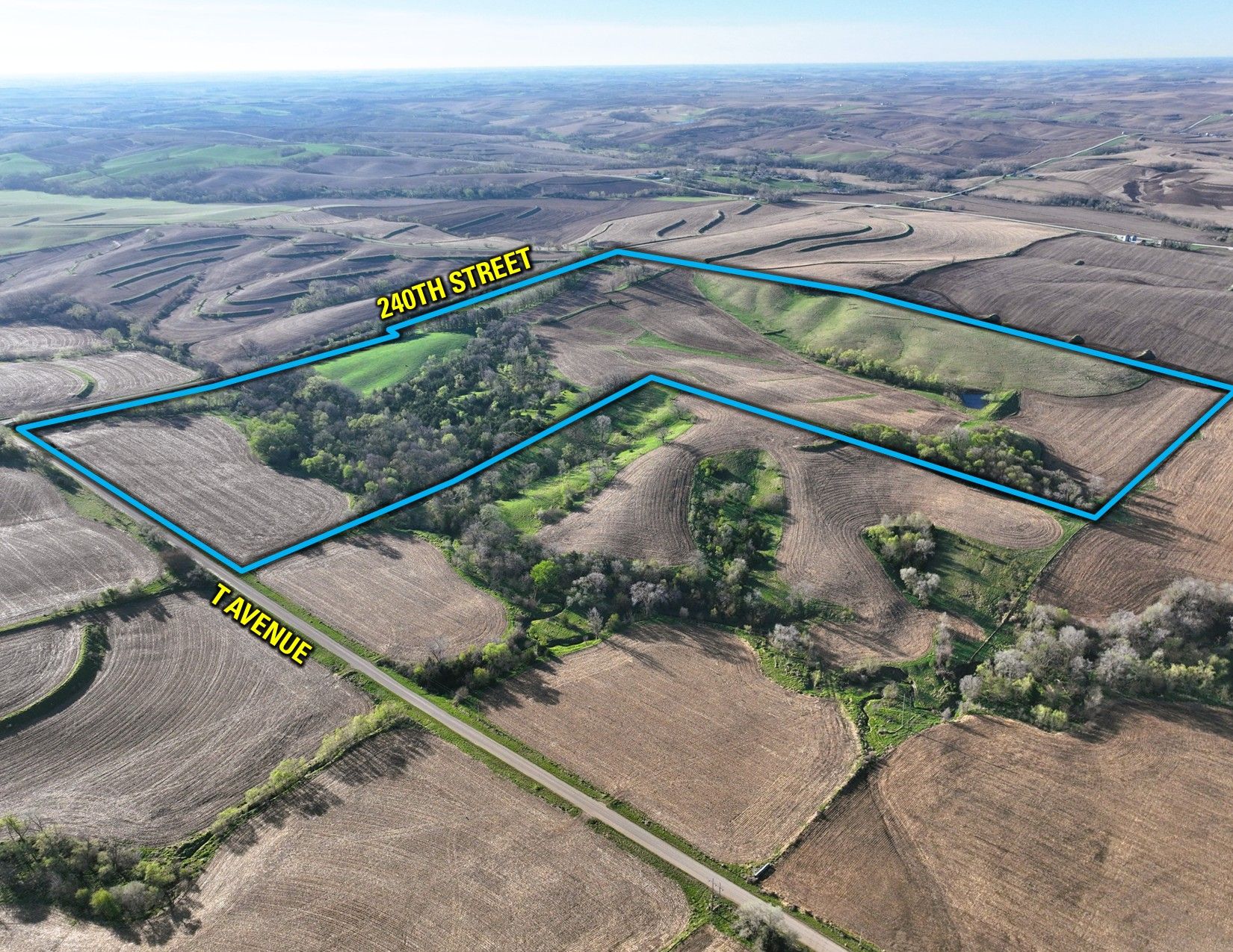
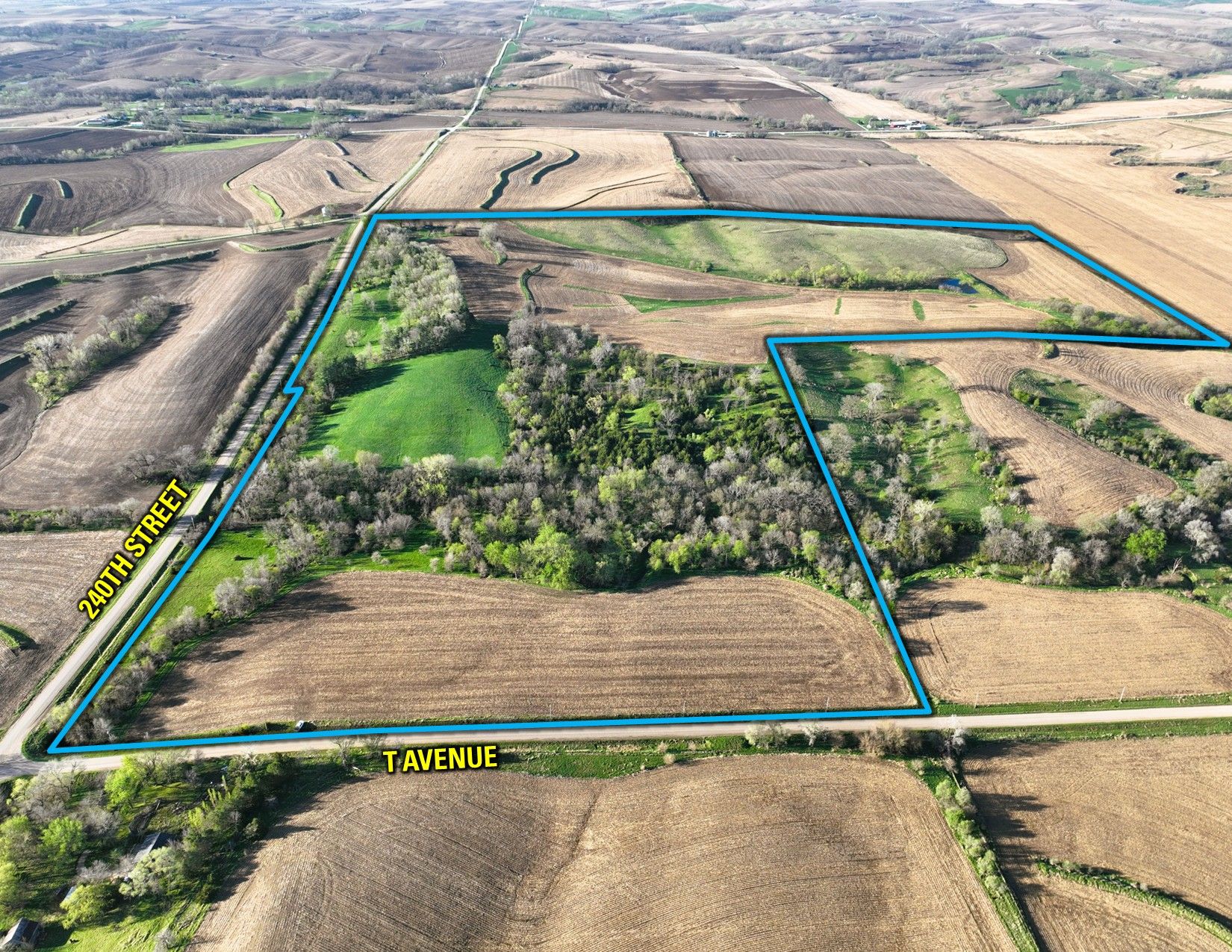
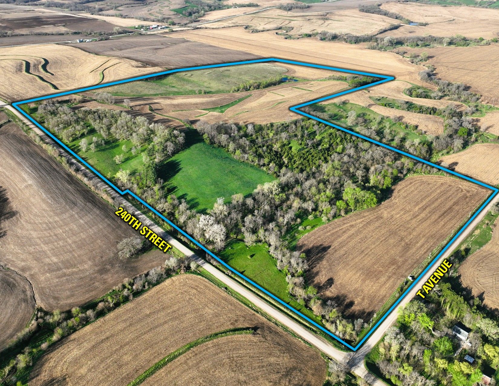
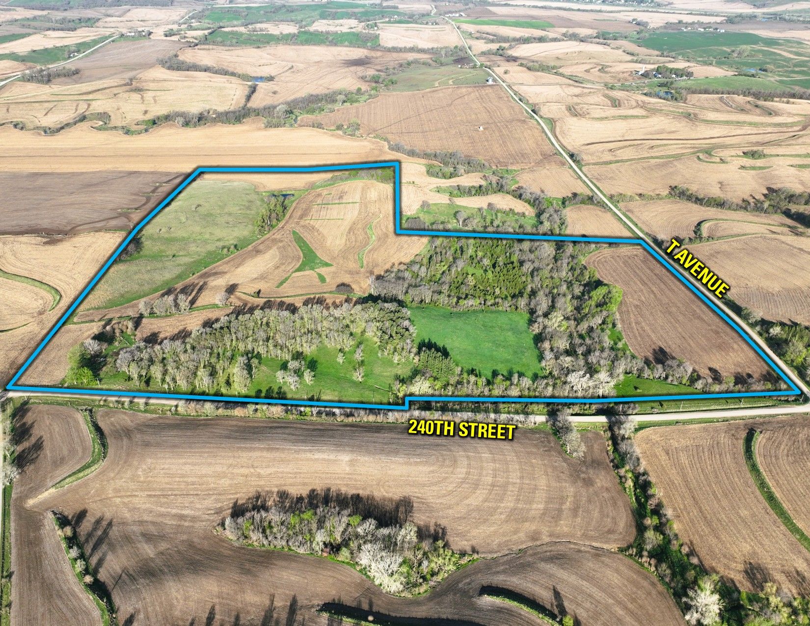
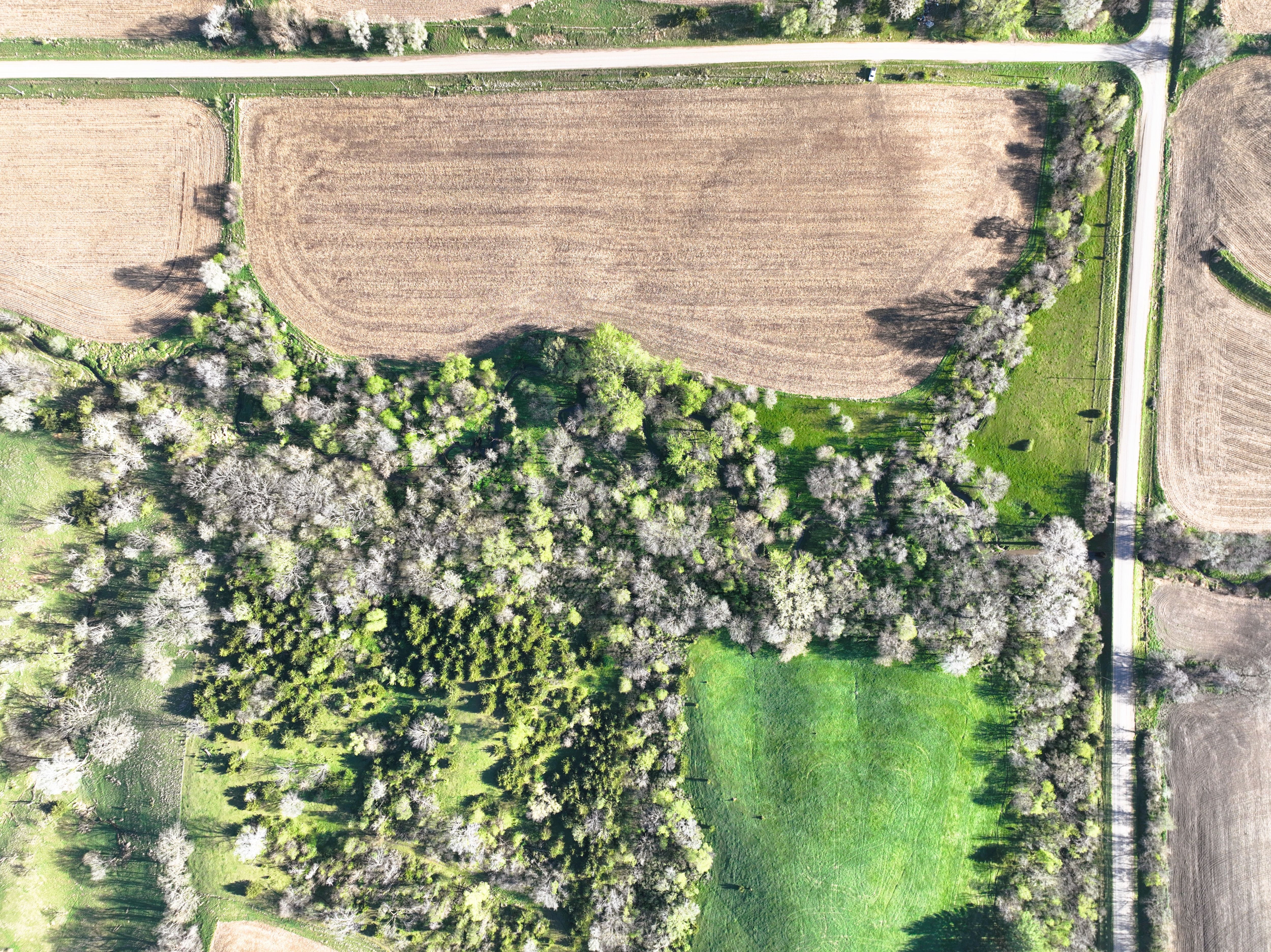
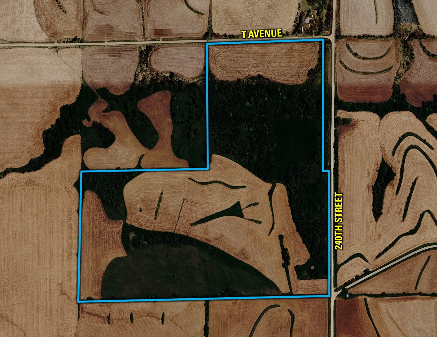
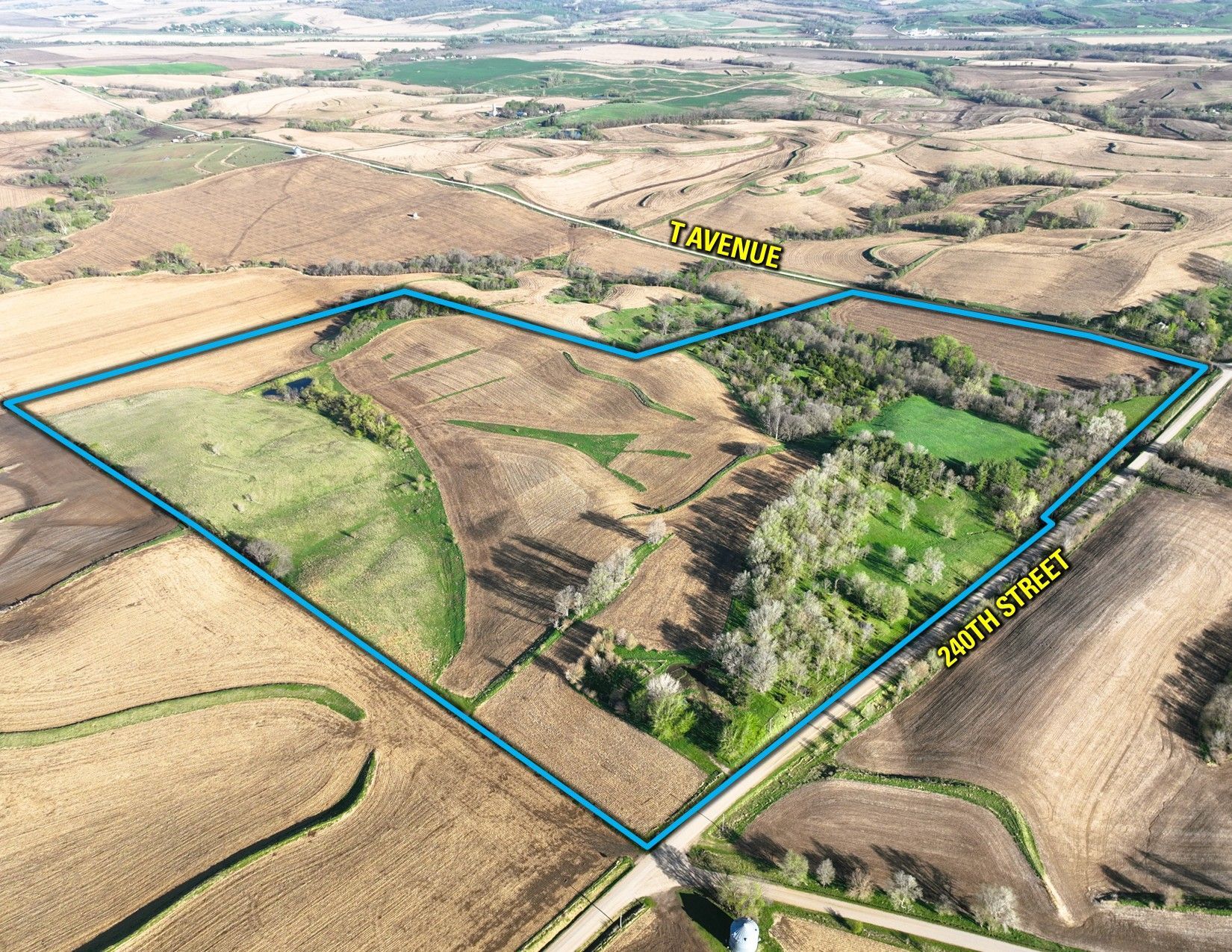
Crawford County, IA
Pending
Crawford County, IA
118.00 Acres M/L
118.00 Acres M/L
2945 240th Street
Dow City, IA 51528
| Price | $926,300 |
| Listing | #19309 |

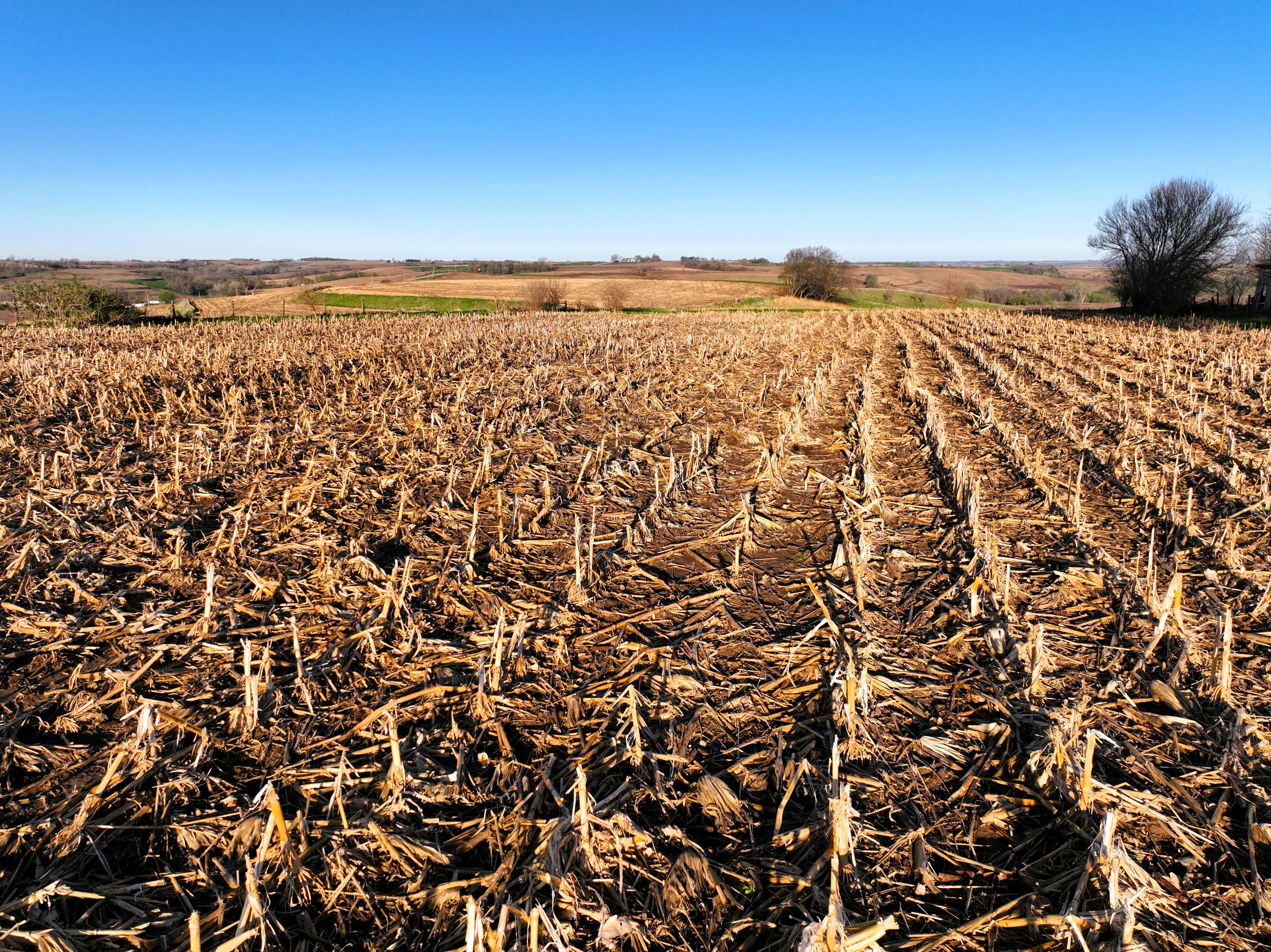
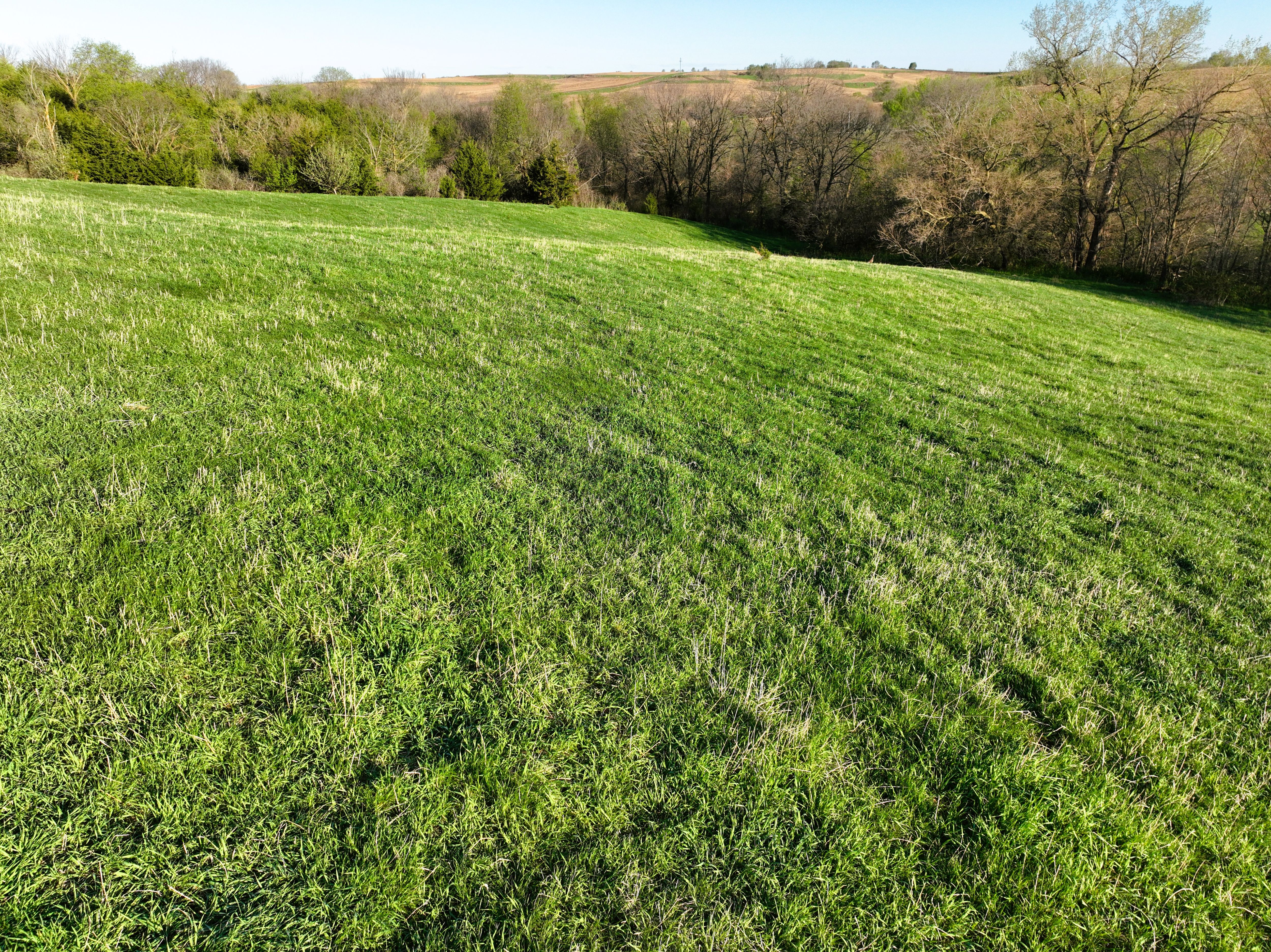
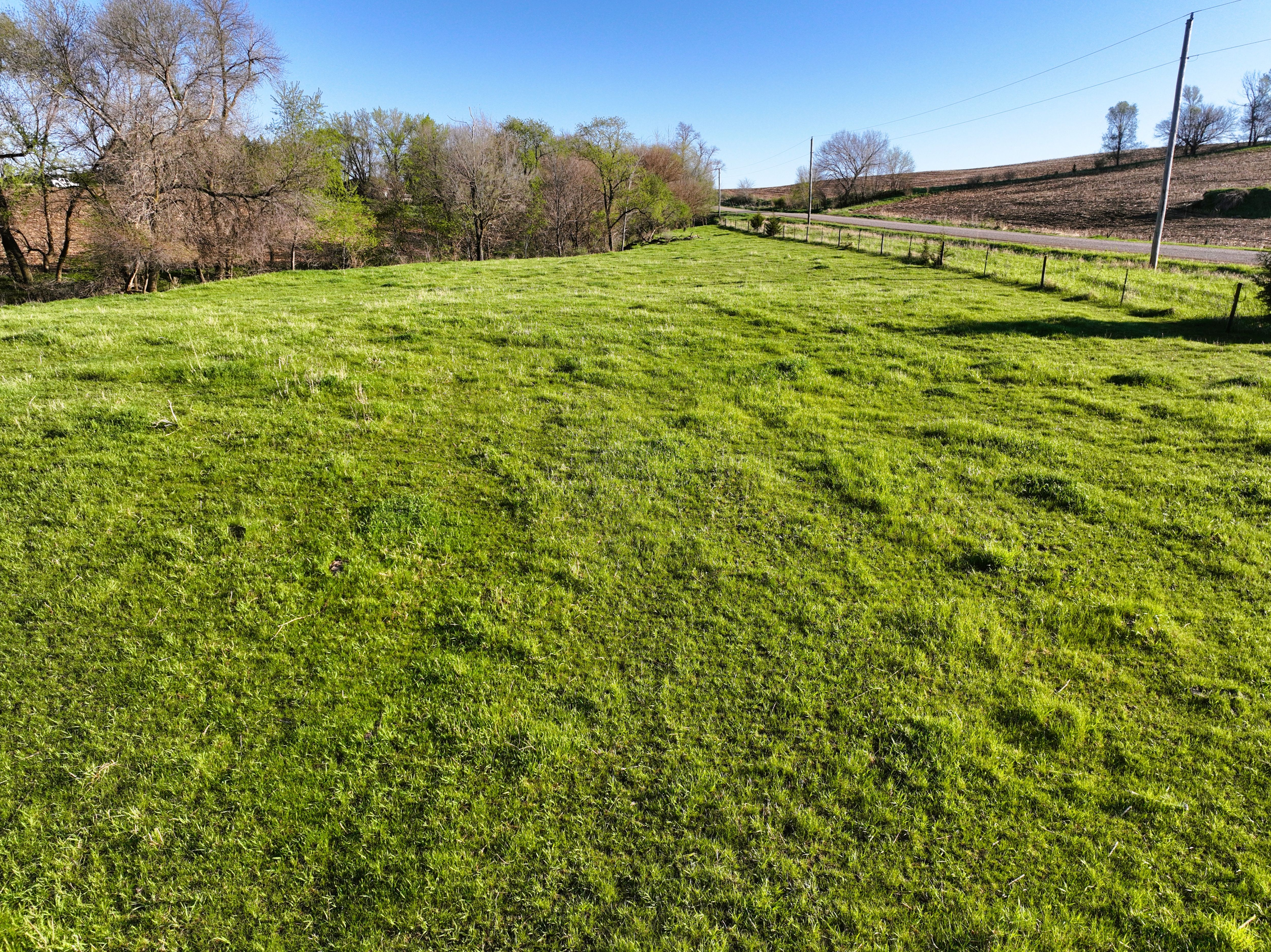
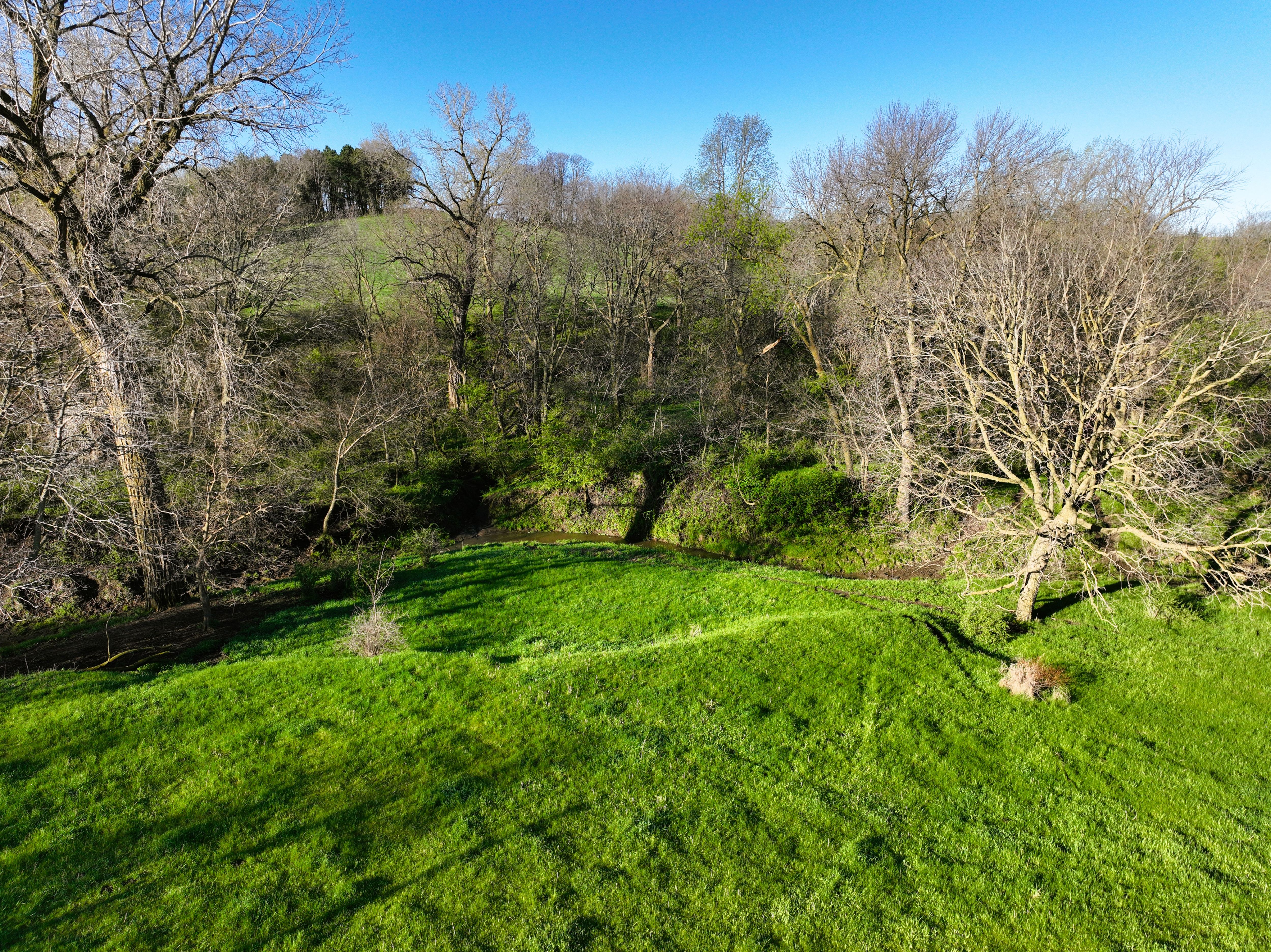
Property Info
Description
Legal Description
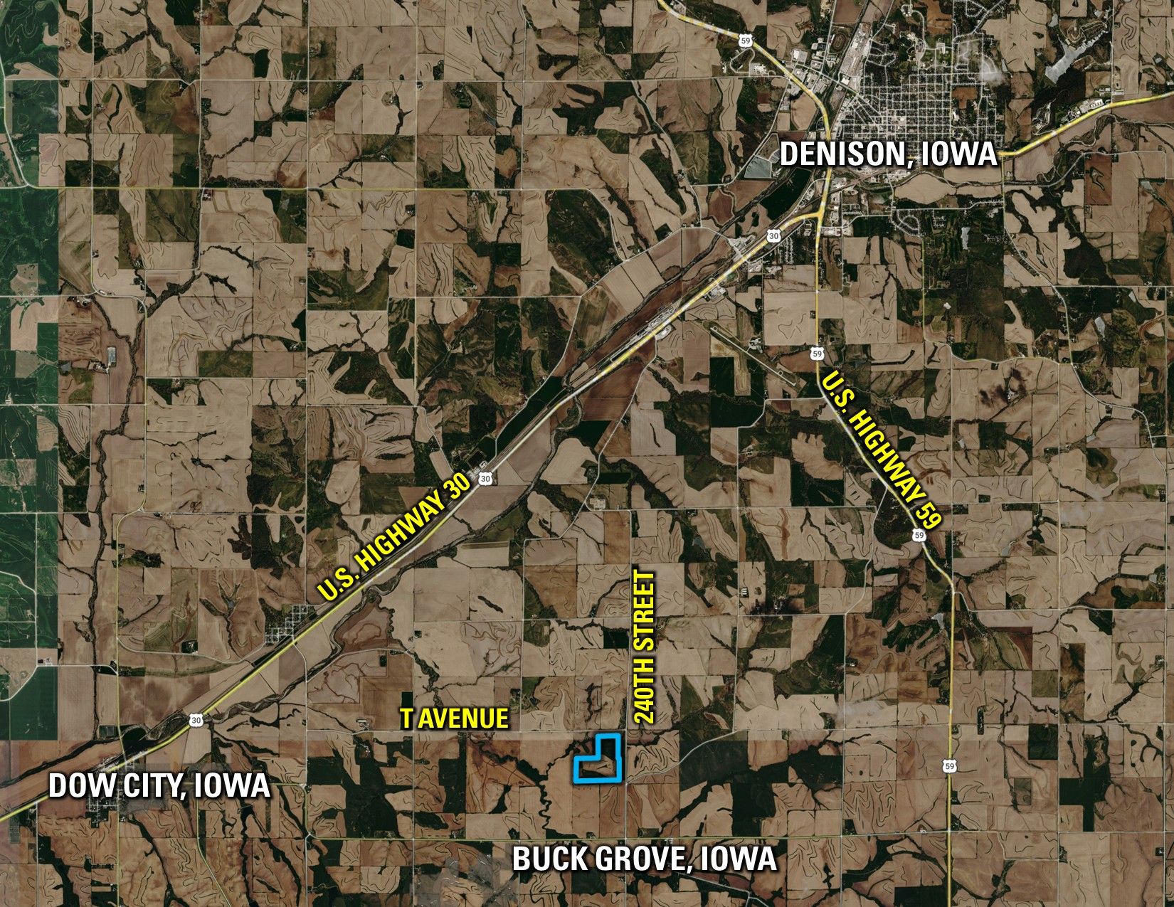
Directions
- Sign On Property: Yes
- MLS Number: 739311
- Parcel Number: 1808200004; 1808200005; 1808200002
- School District: Boyer Valley Community School District
- General Area: East of Dow City, Iowa; Southwest of Denison, Iowa
- Gross Taxes: $3,198.00
- CSR2: 55.4
- Zoning: Agriculture
Interactive Map
Use the Interactive Map to explore the property's regional location. Zoom in and out to see the property's surroundings and toggle various mapping layers on and off in the Map Layer Menu.
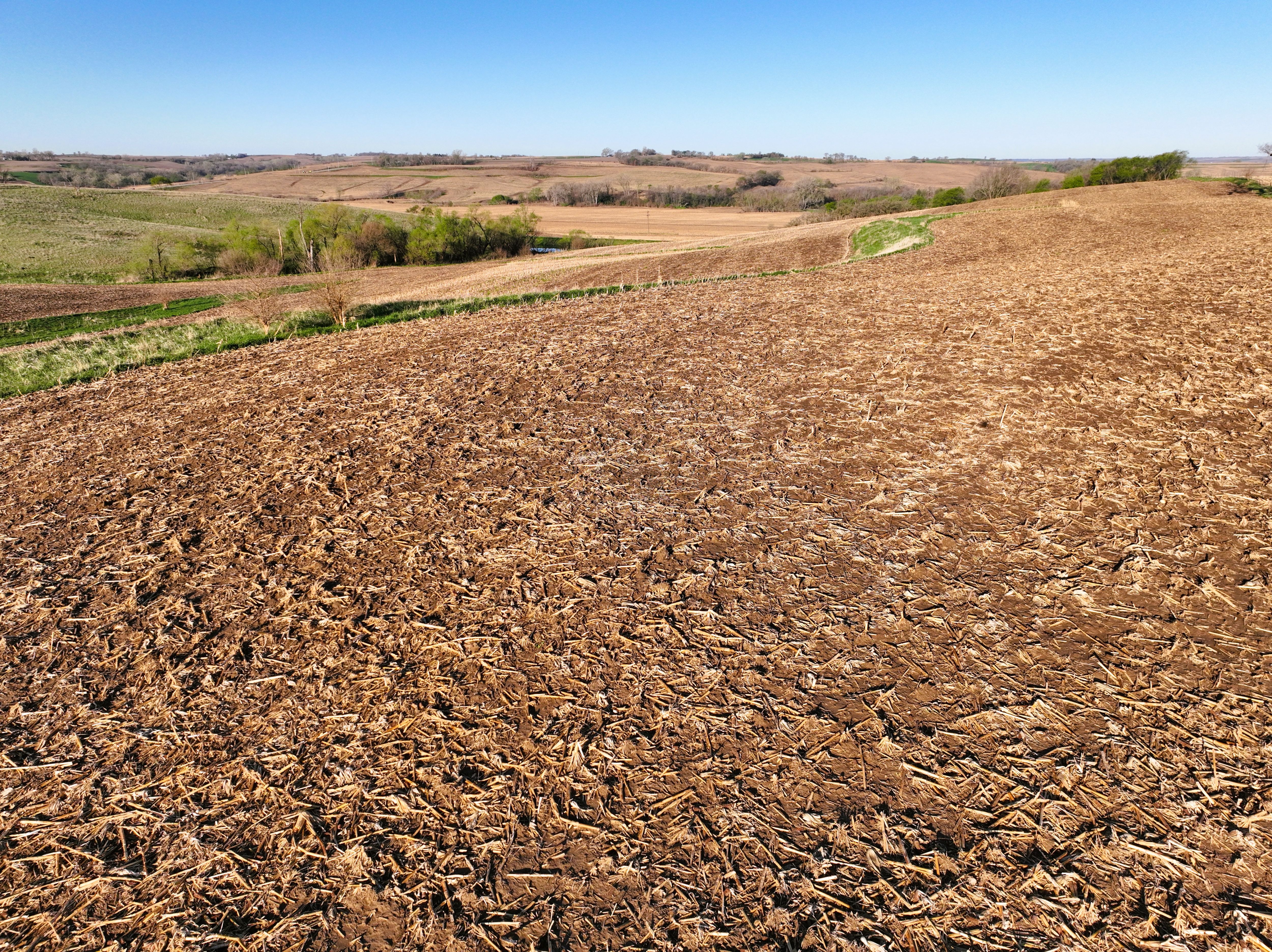
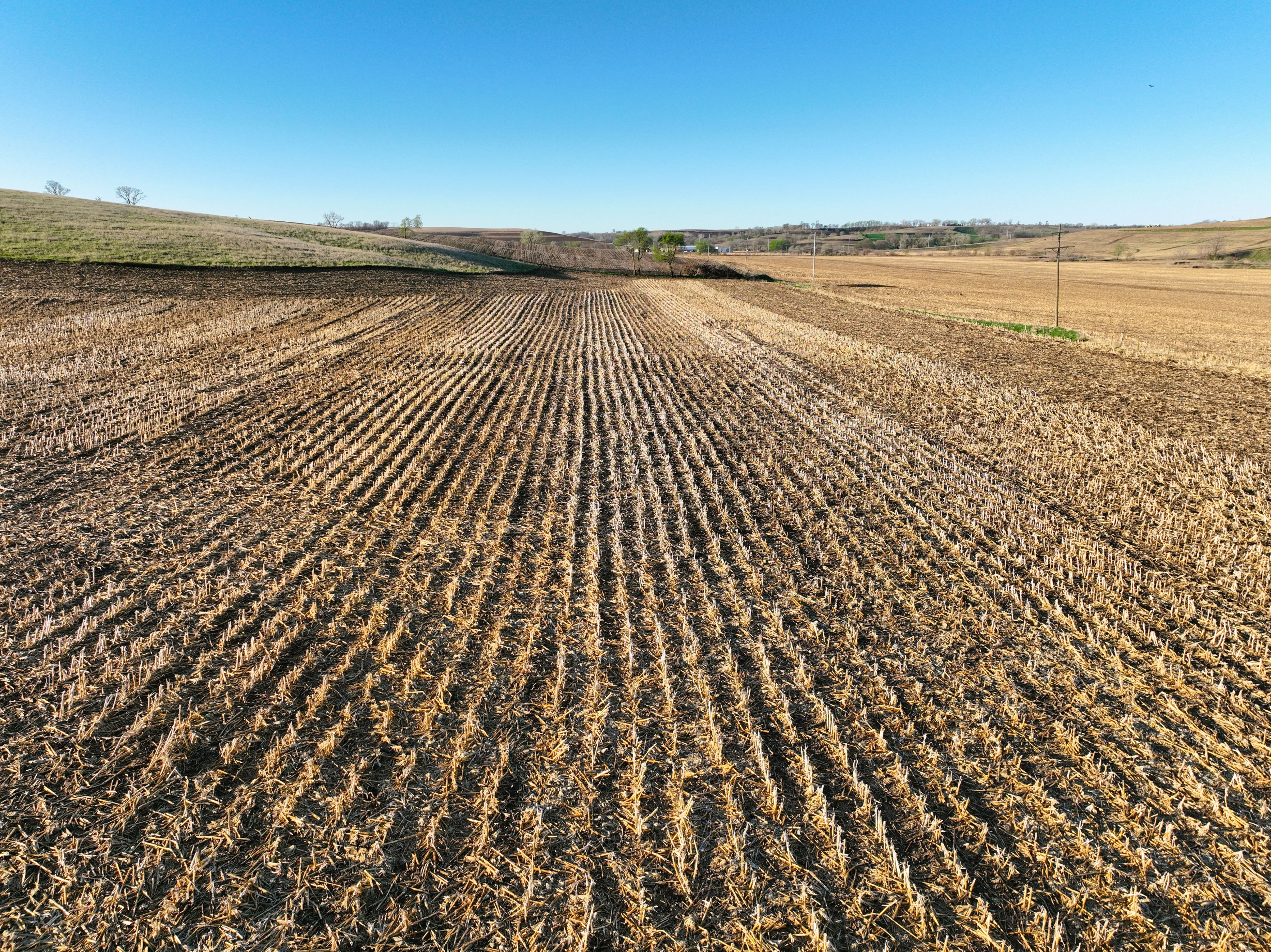
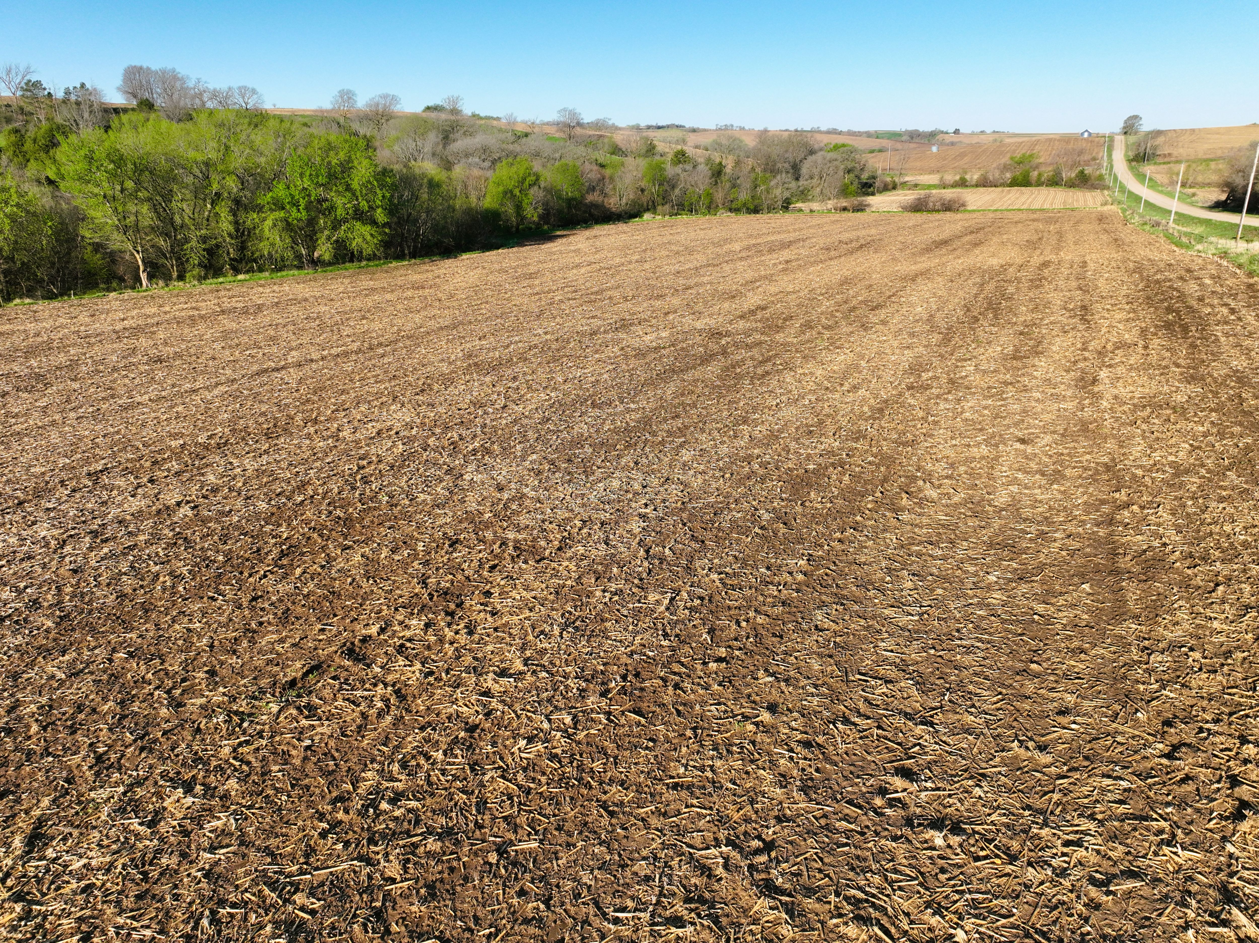
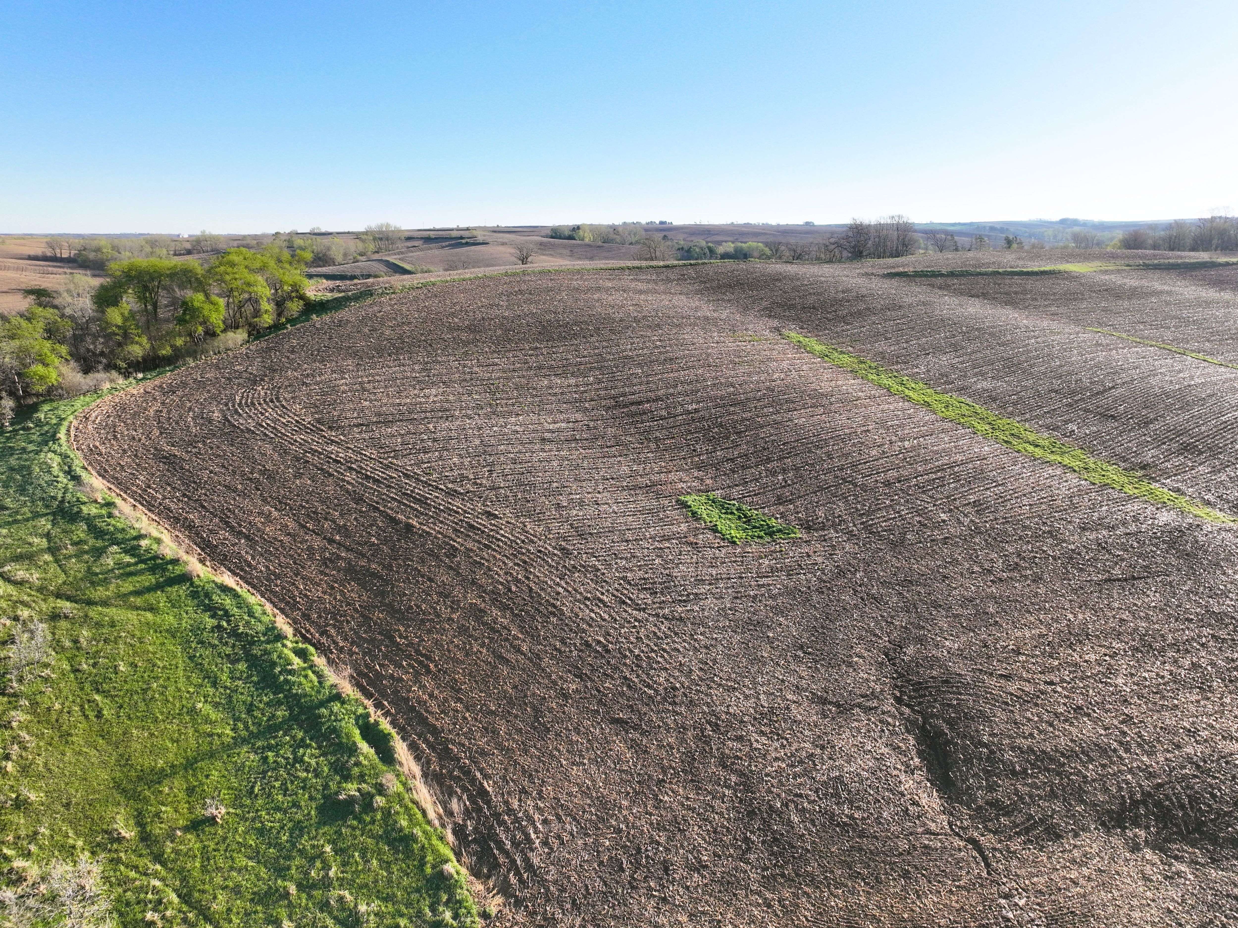
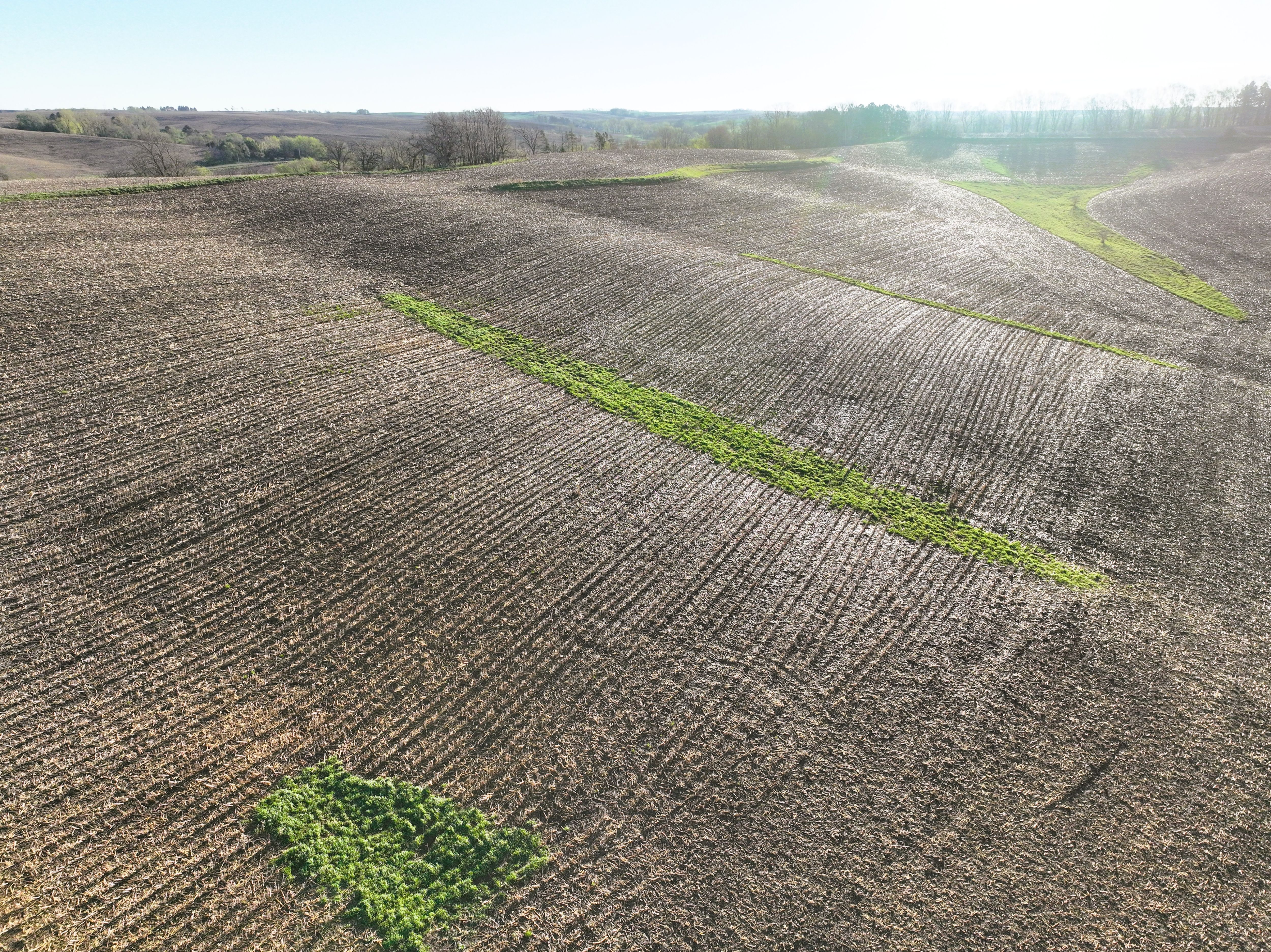
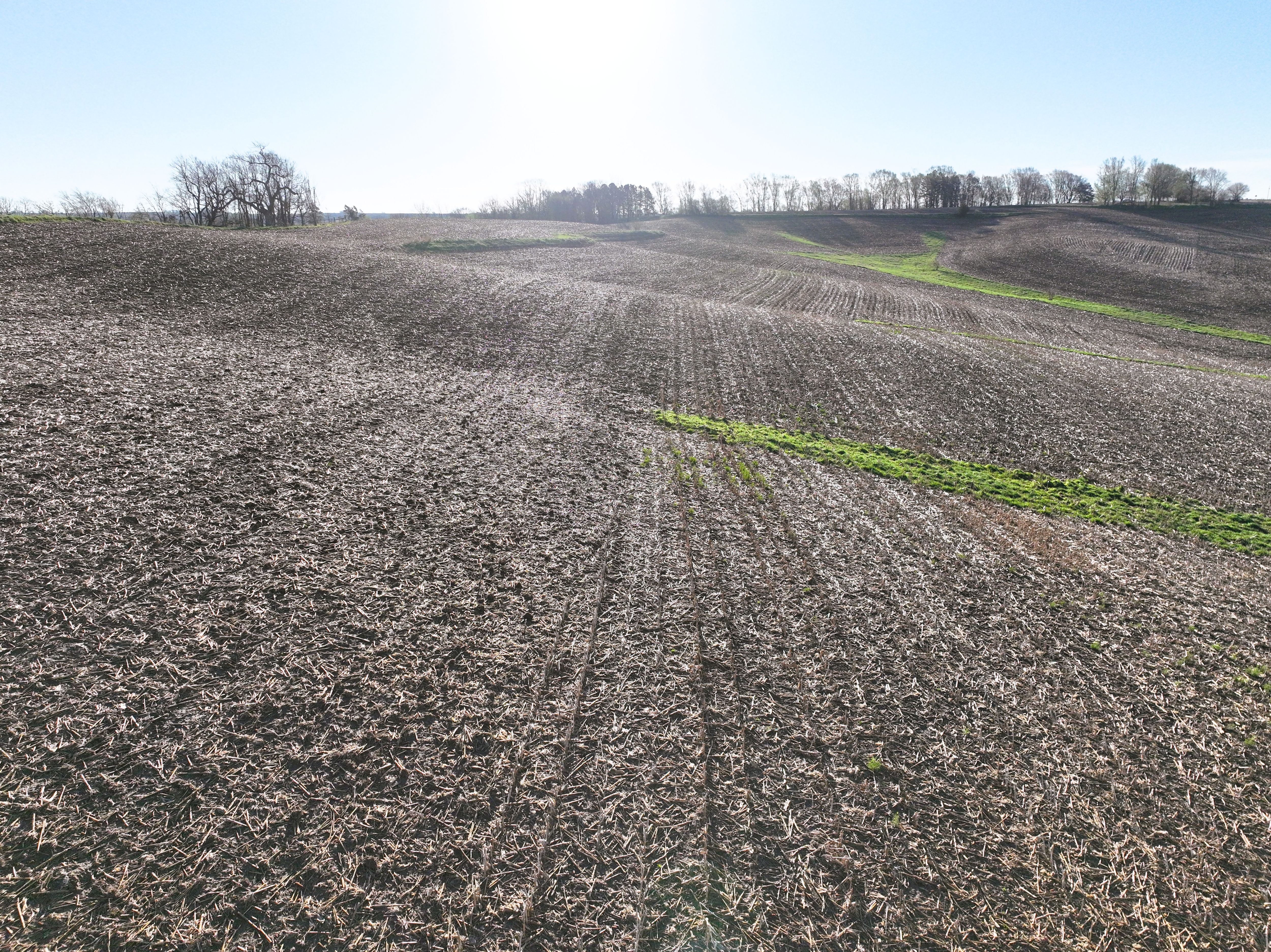
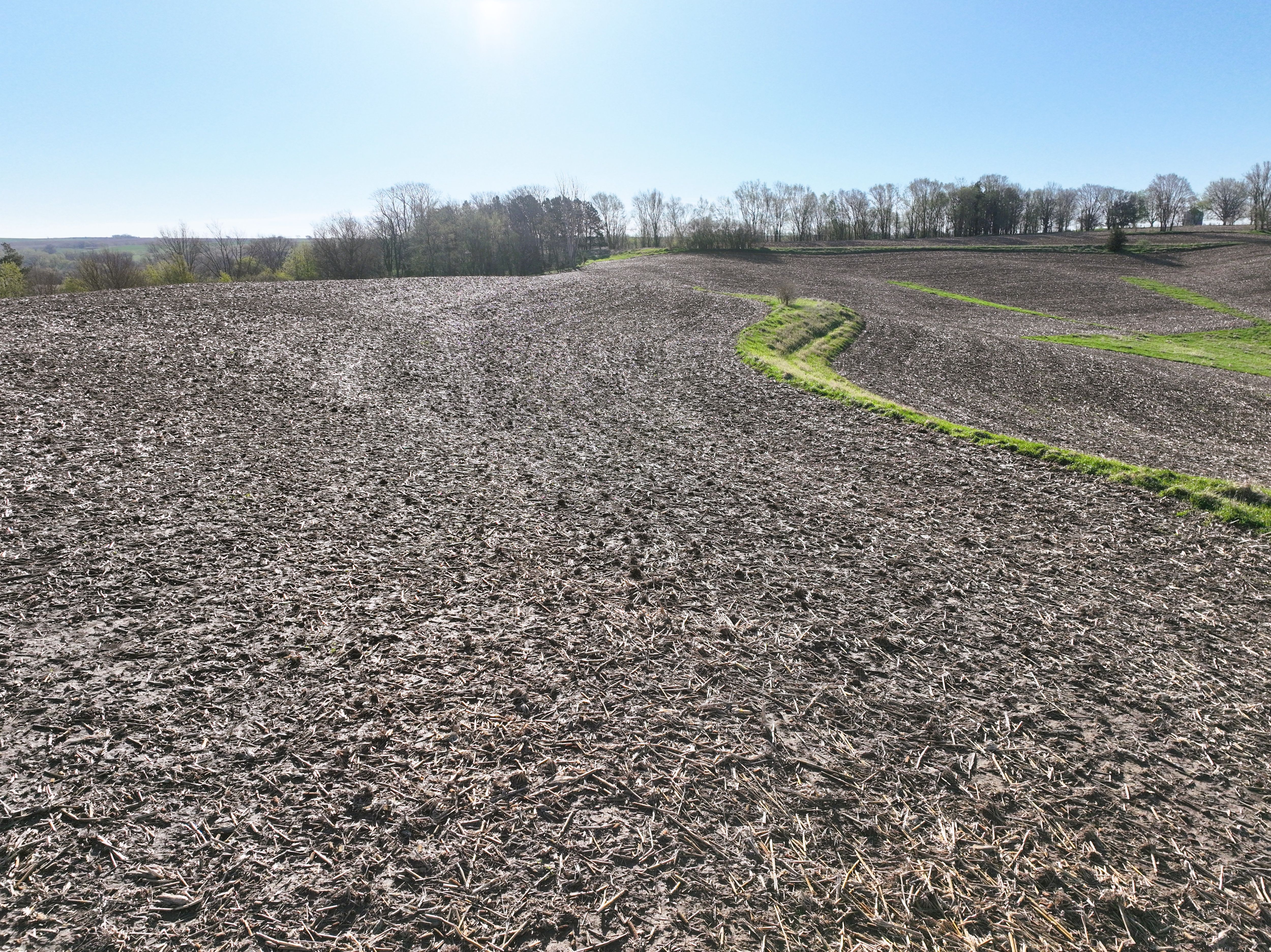
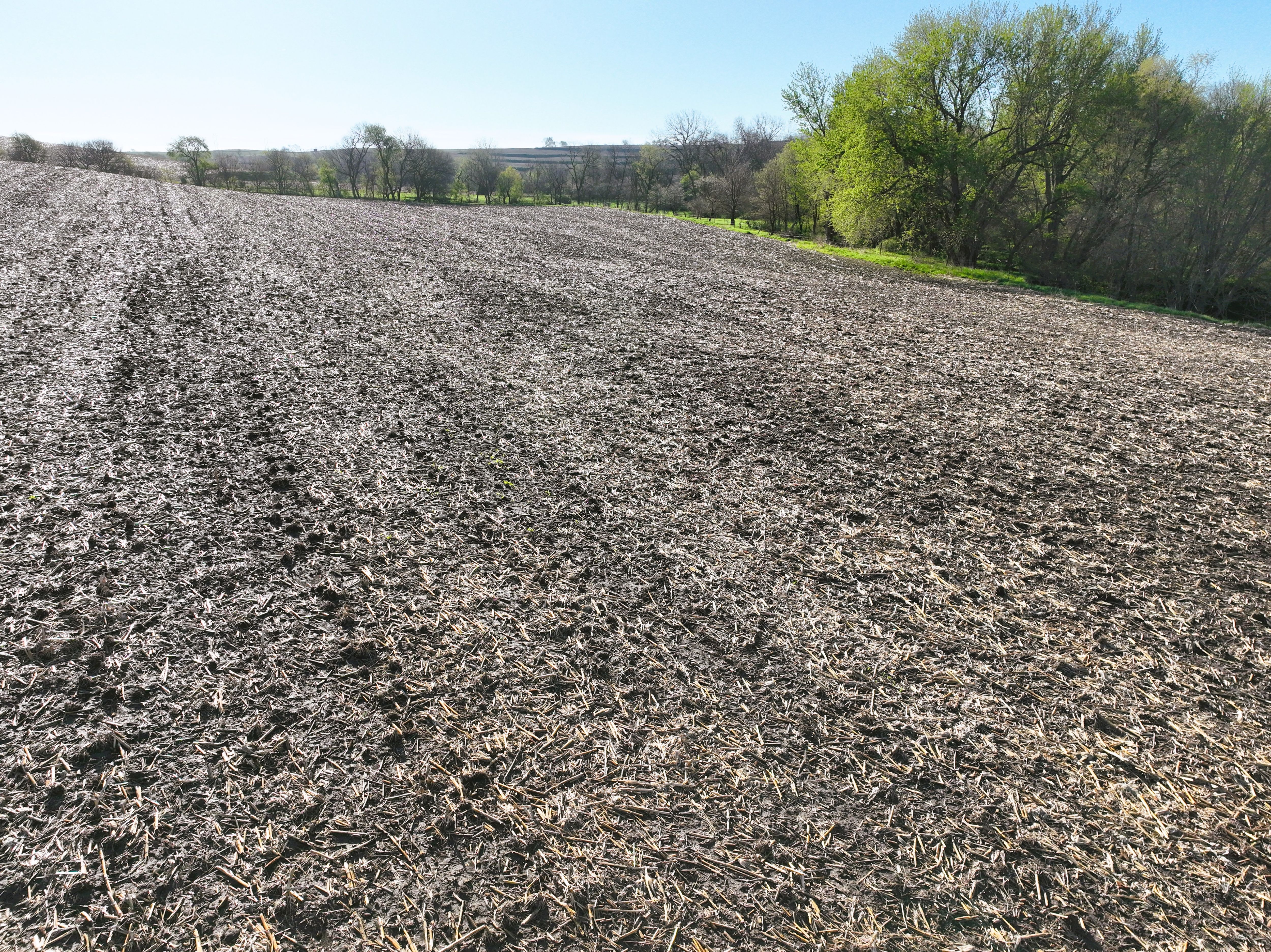
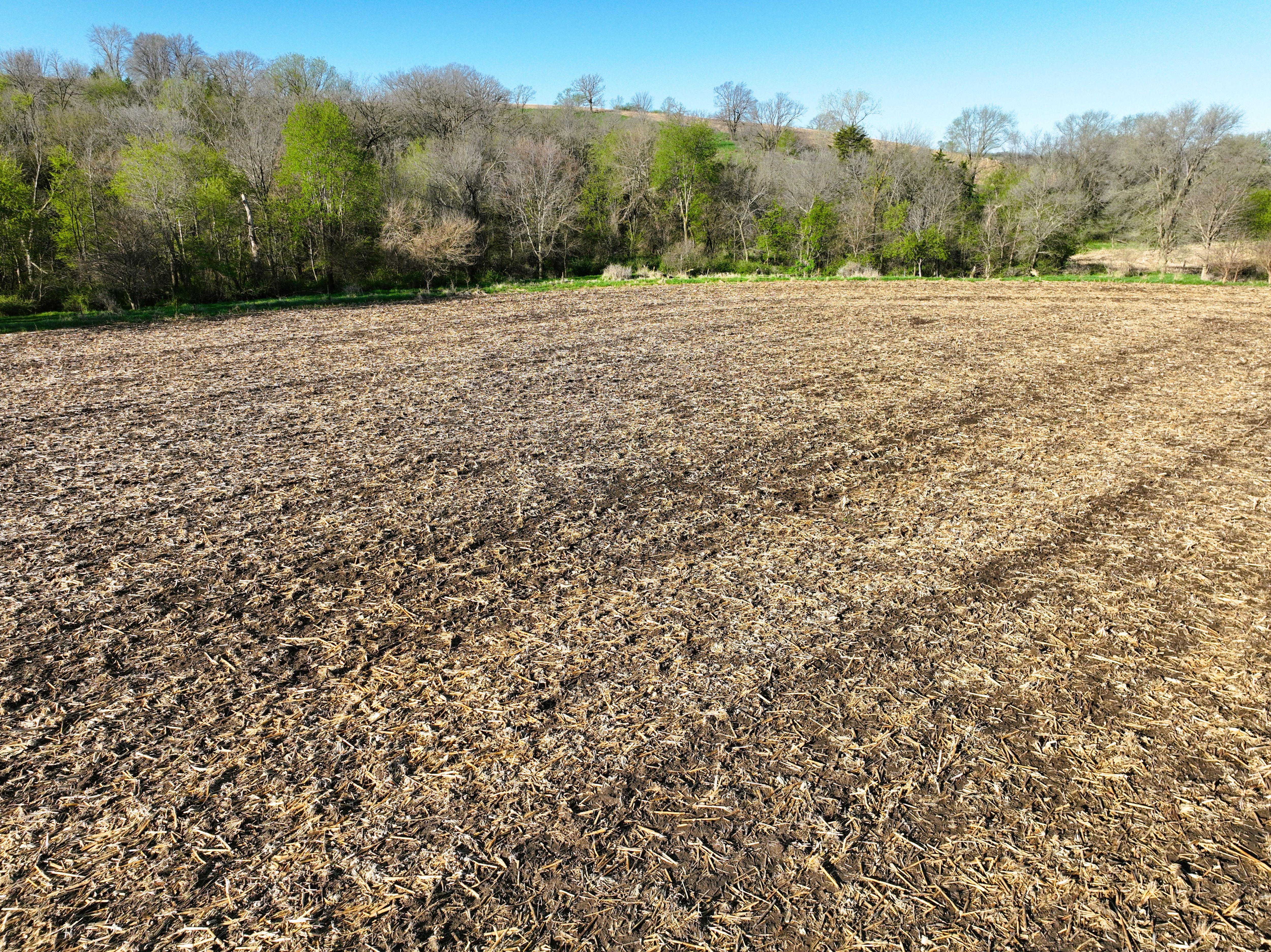
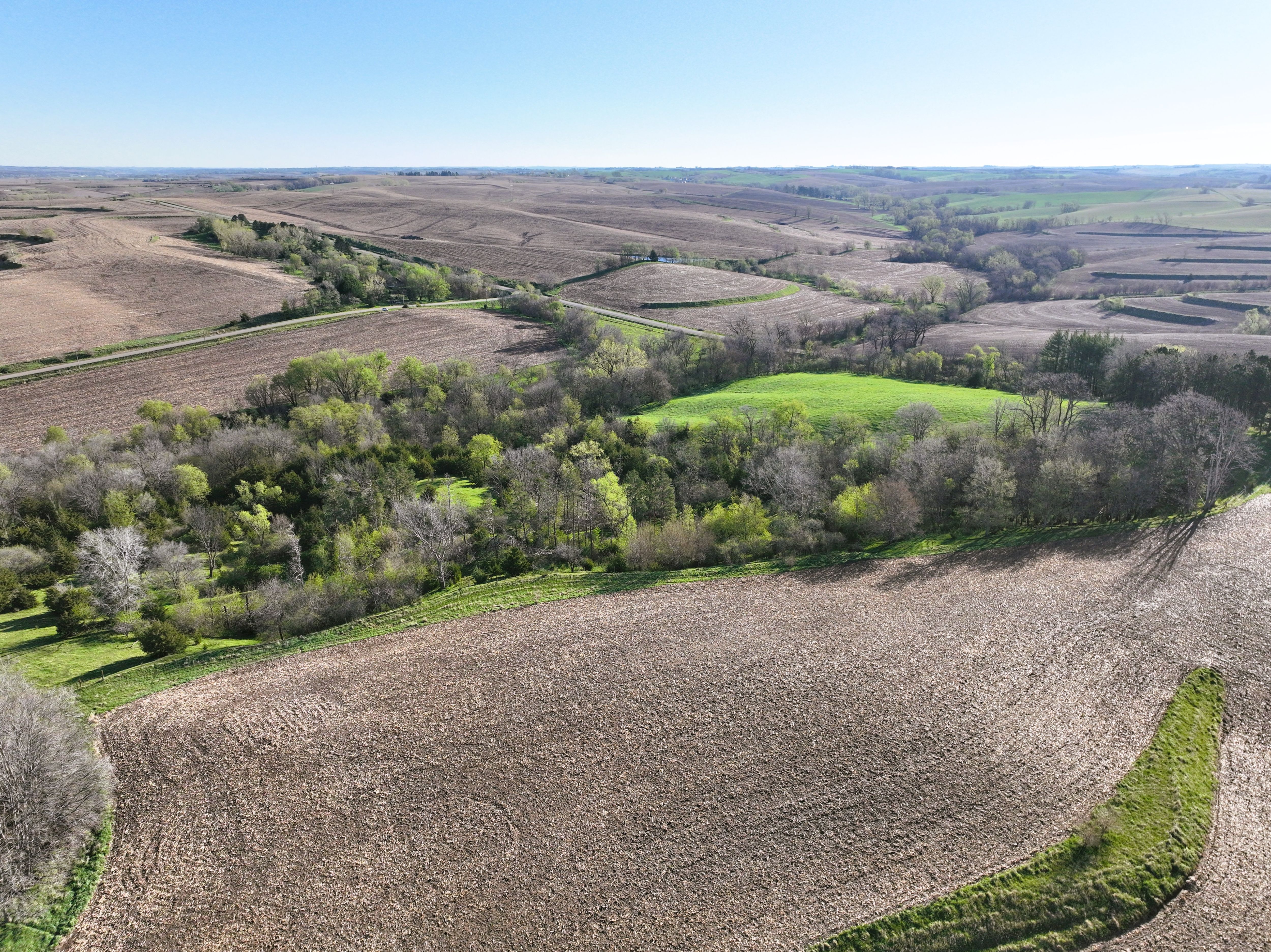
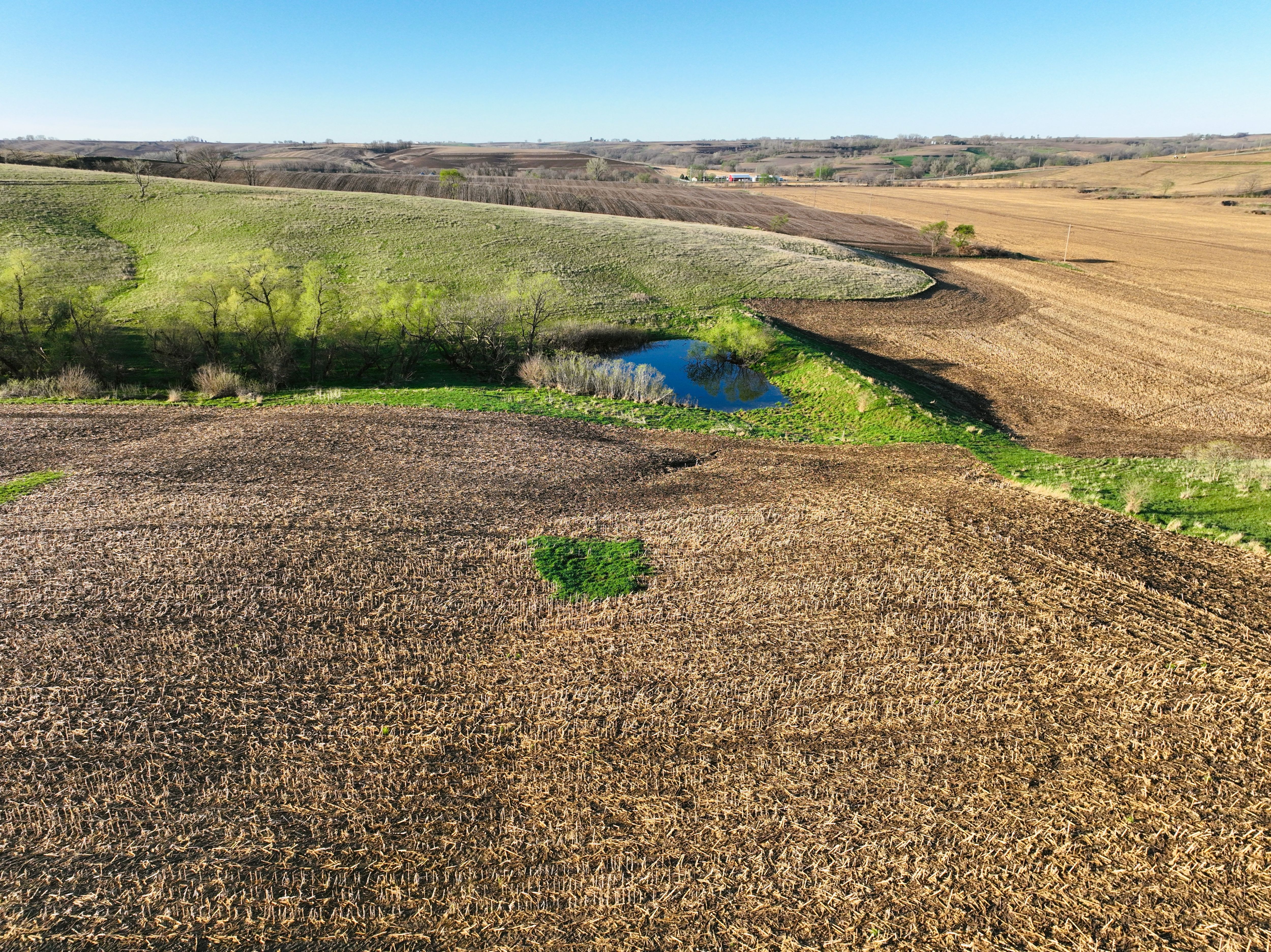
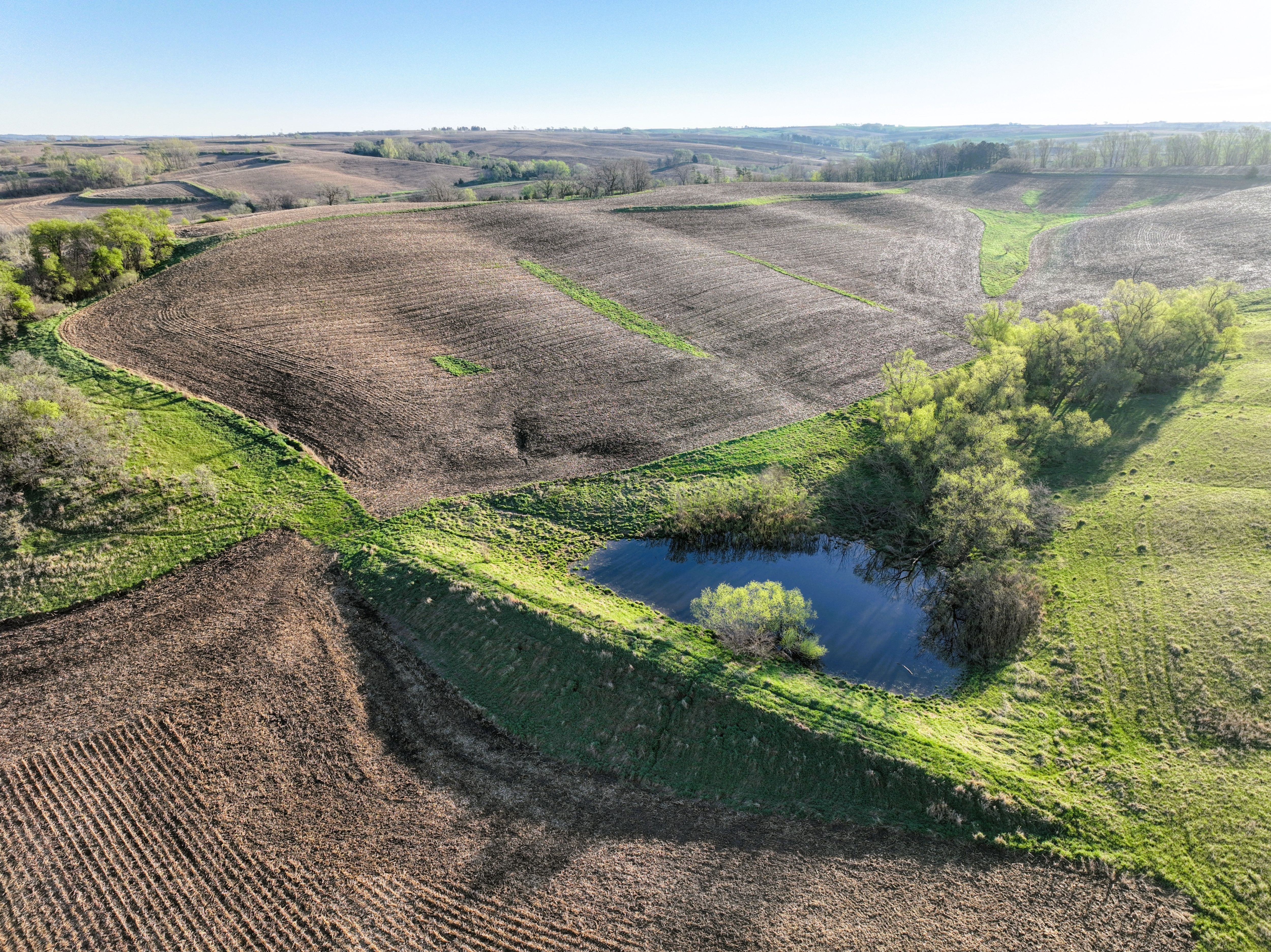
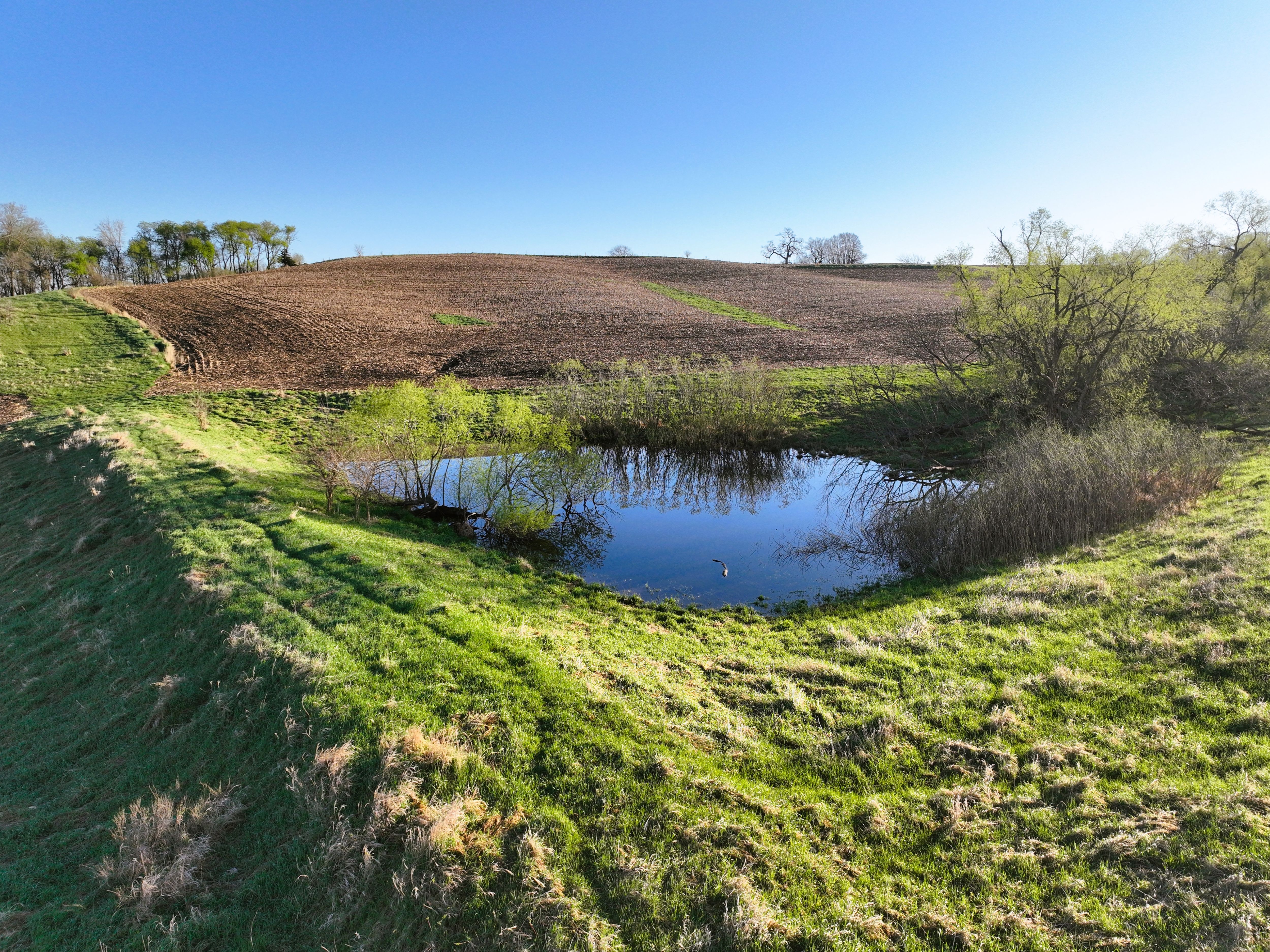
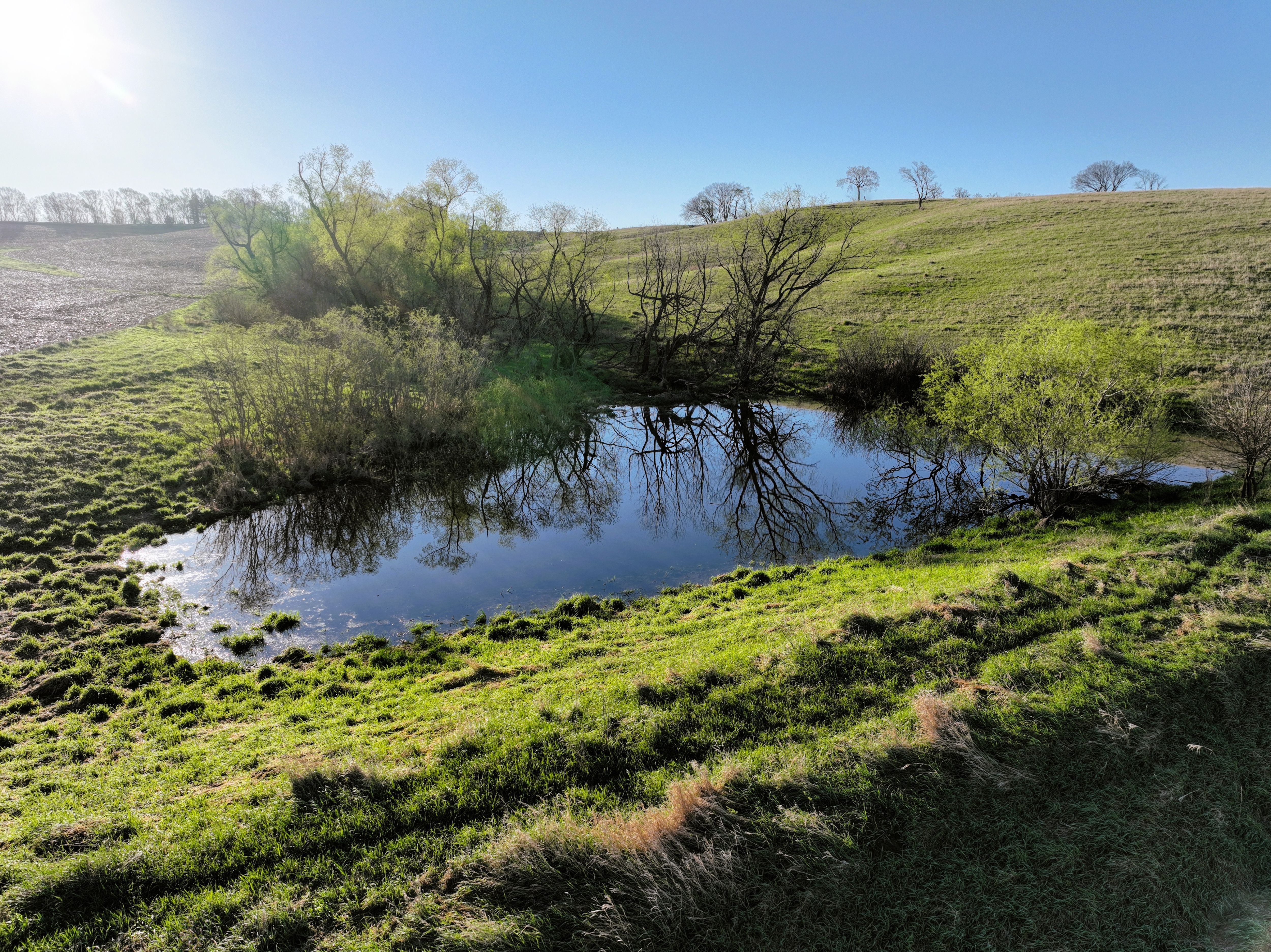
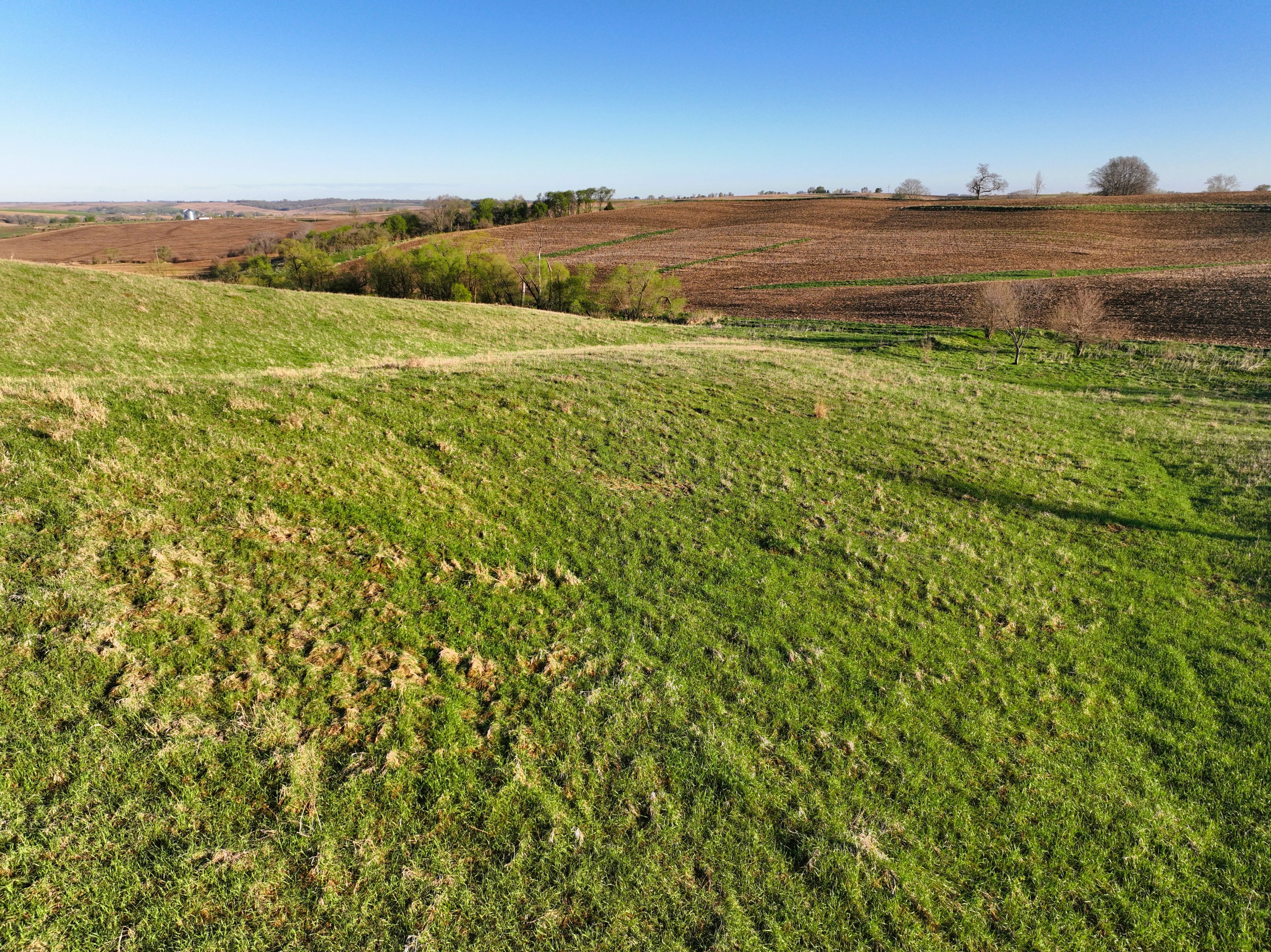
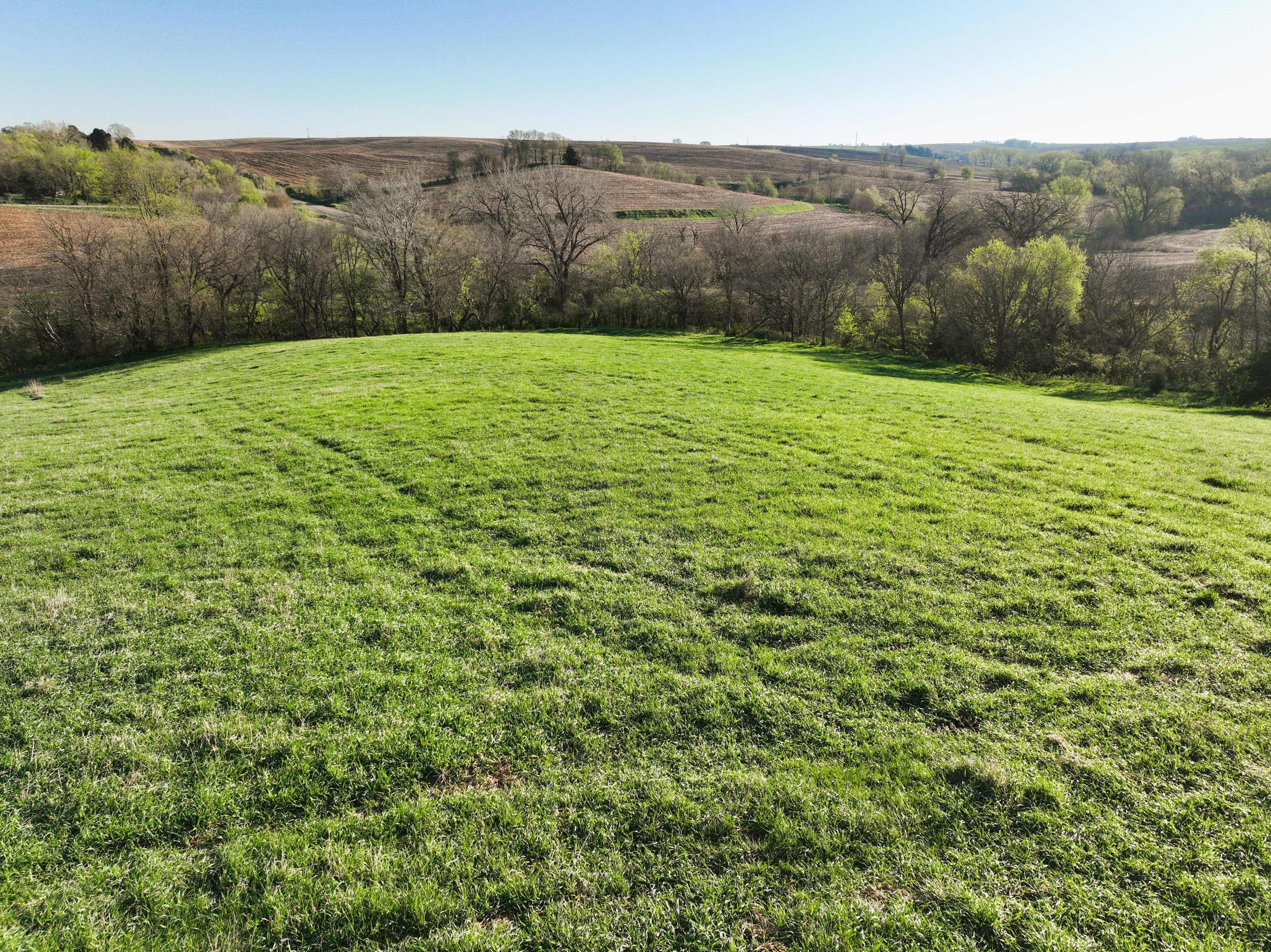
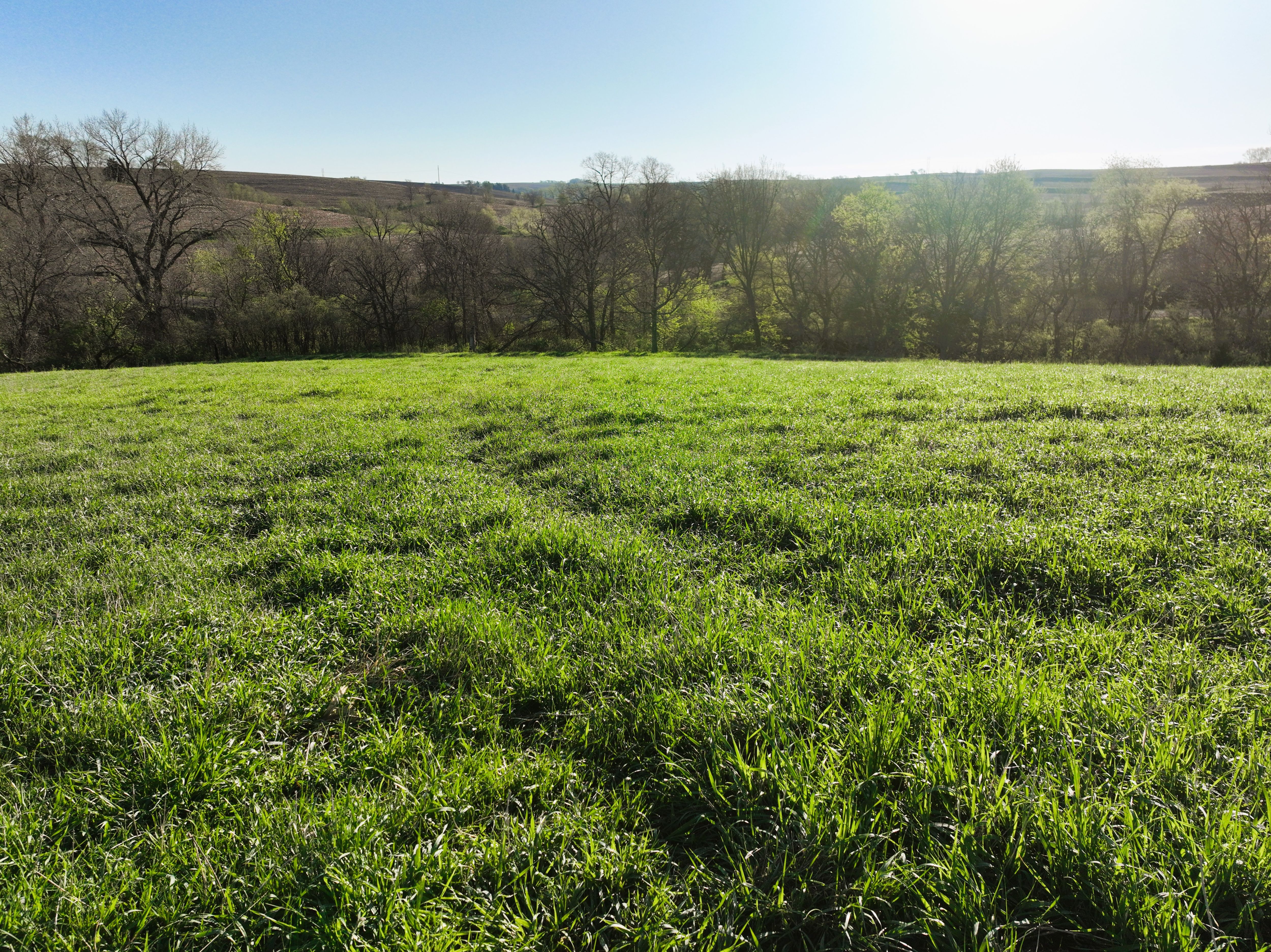
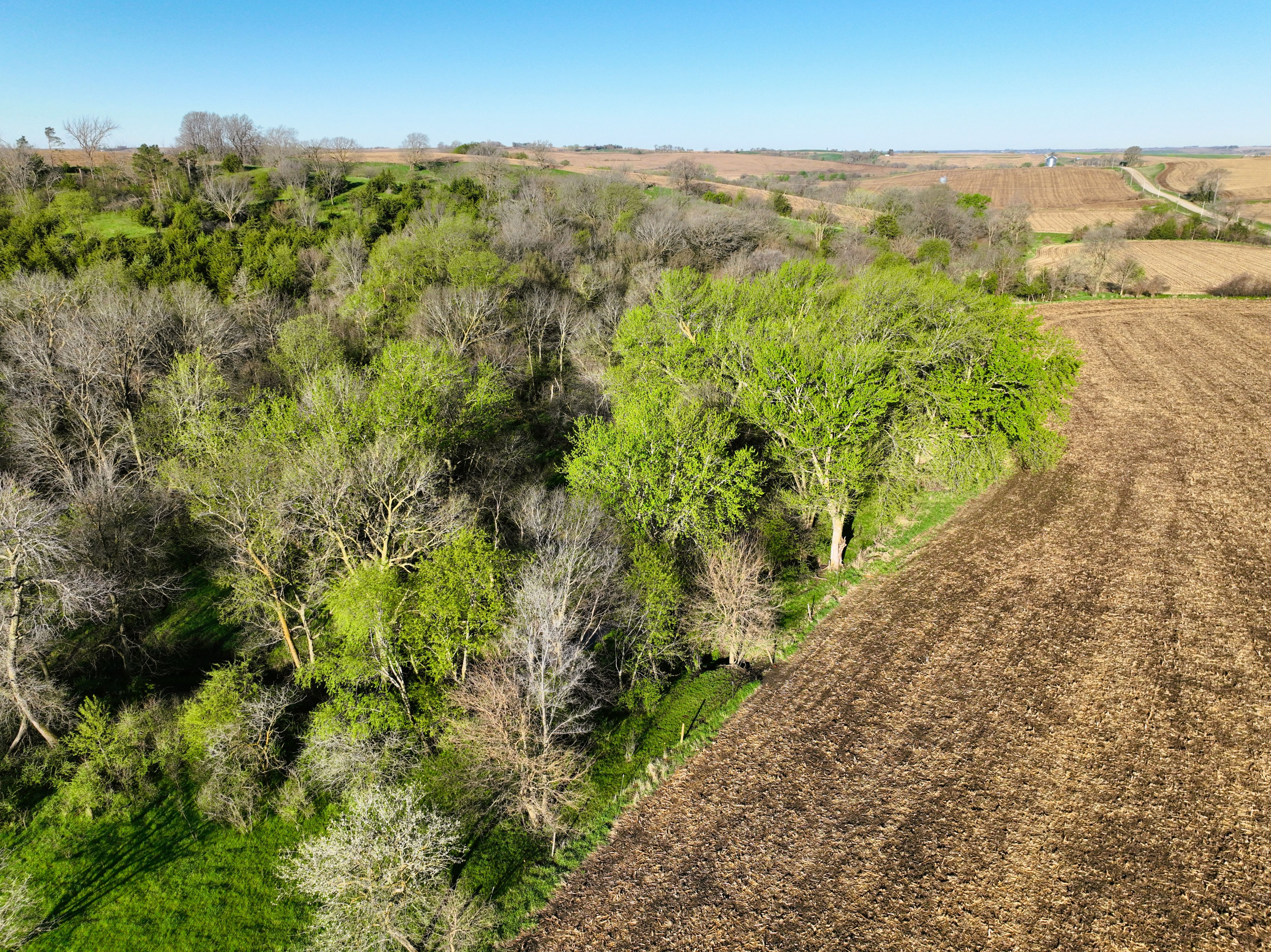
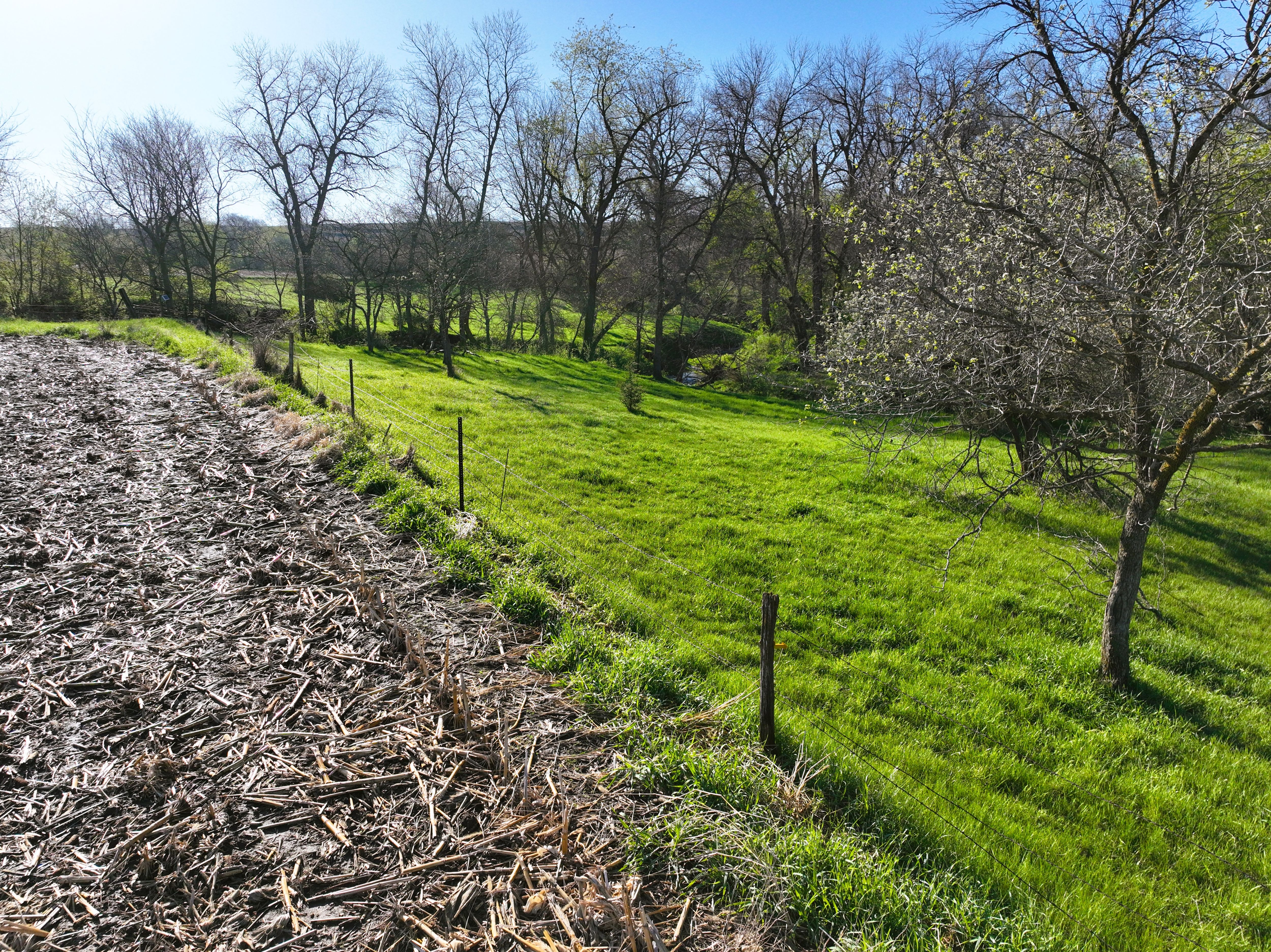
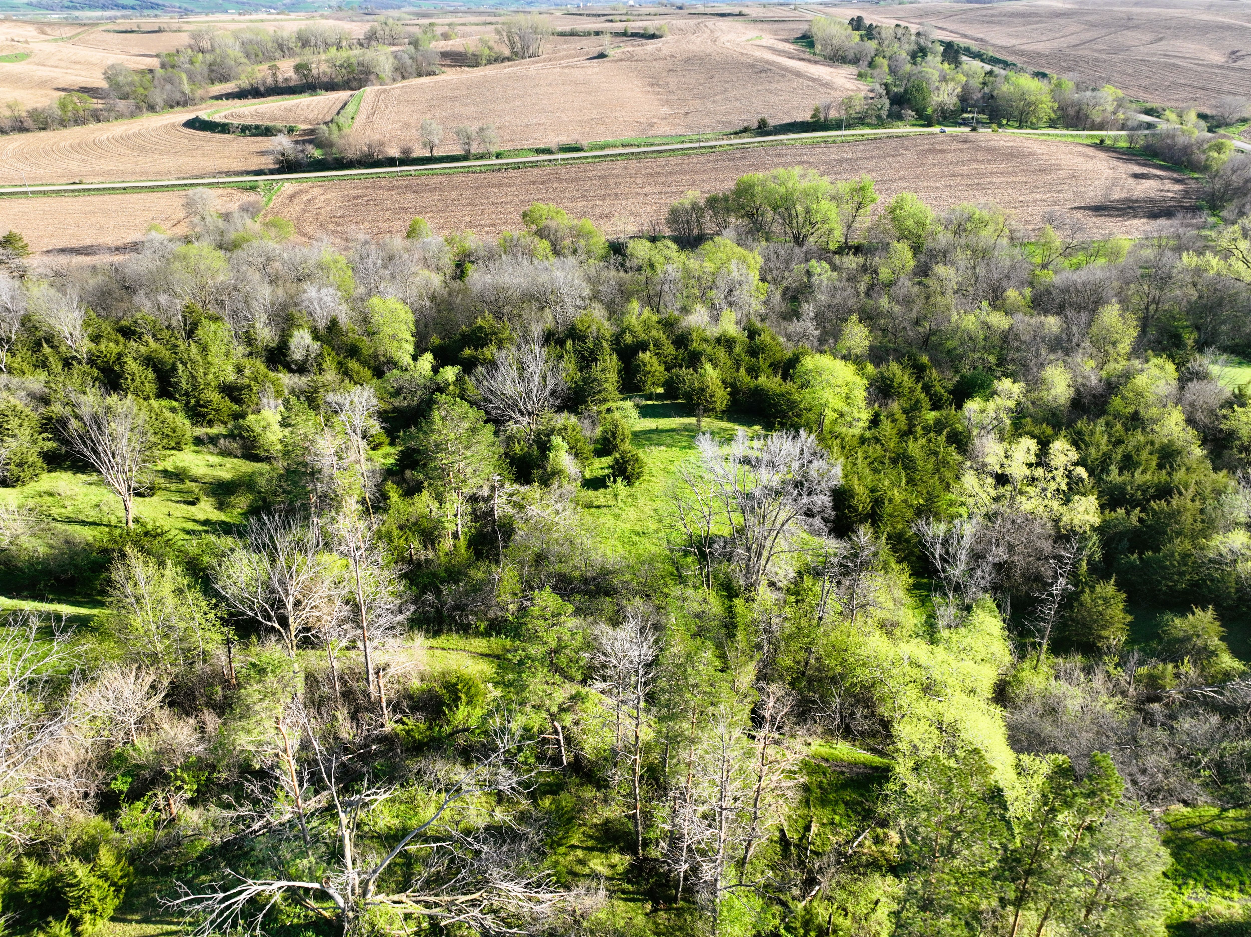
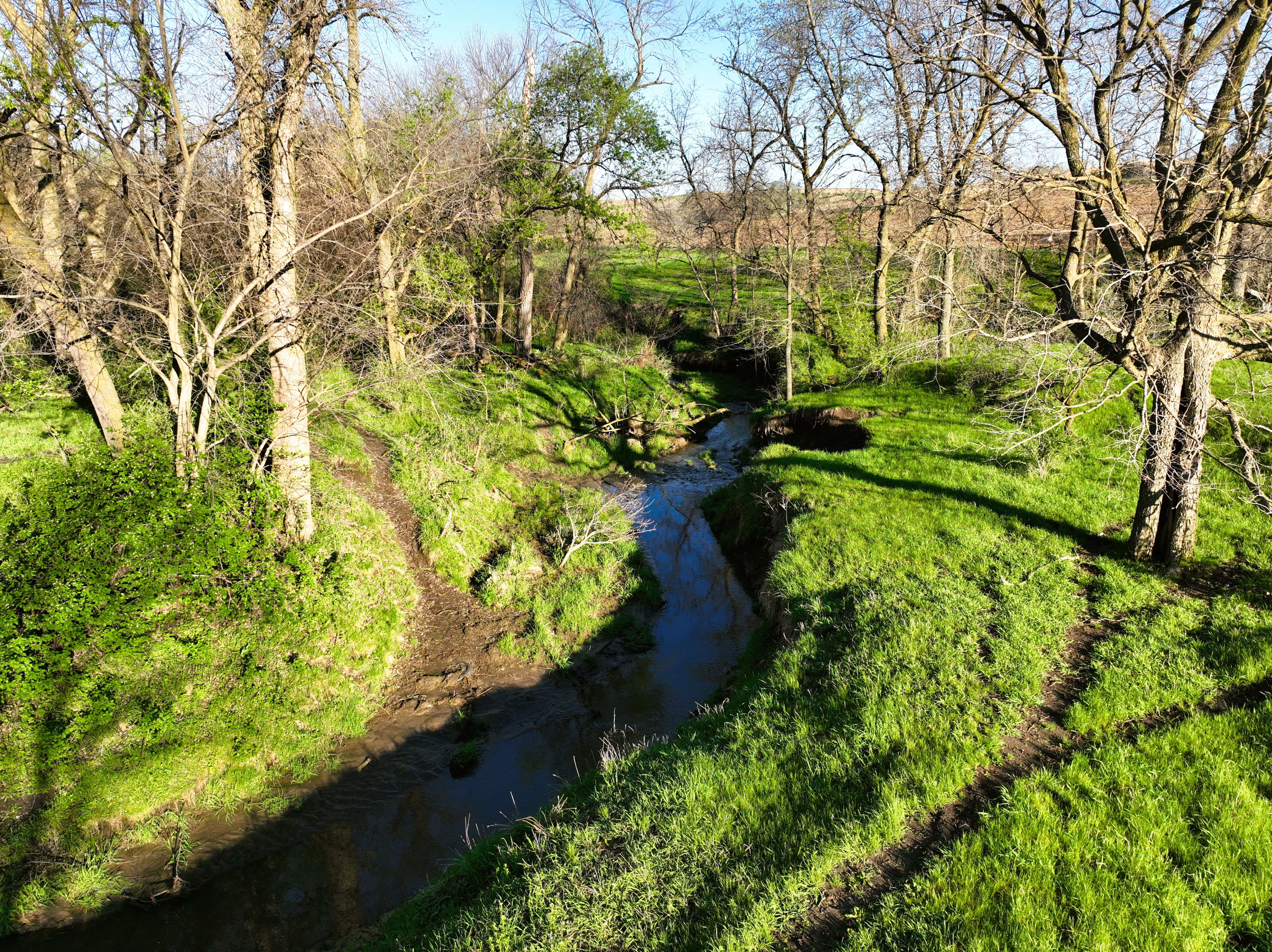
Photos