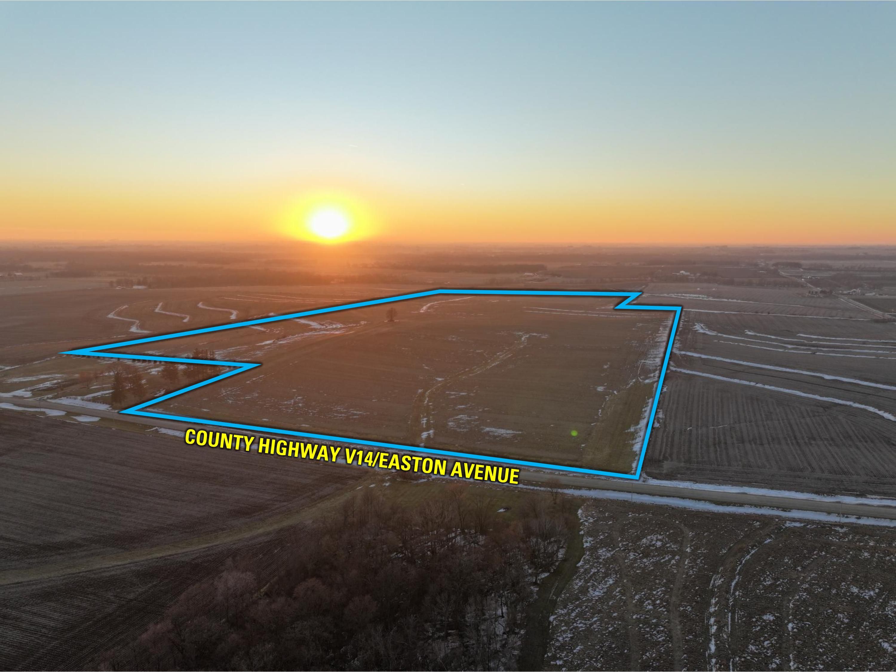
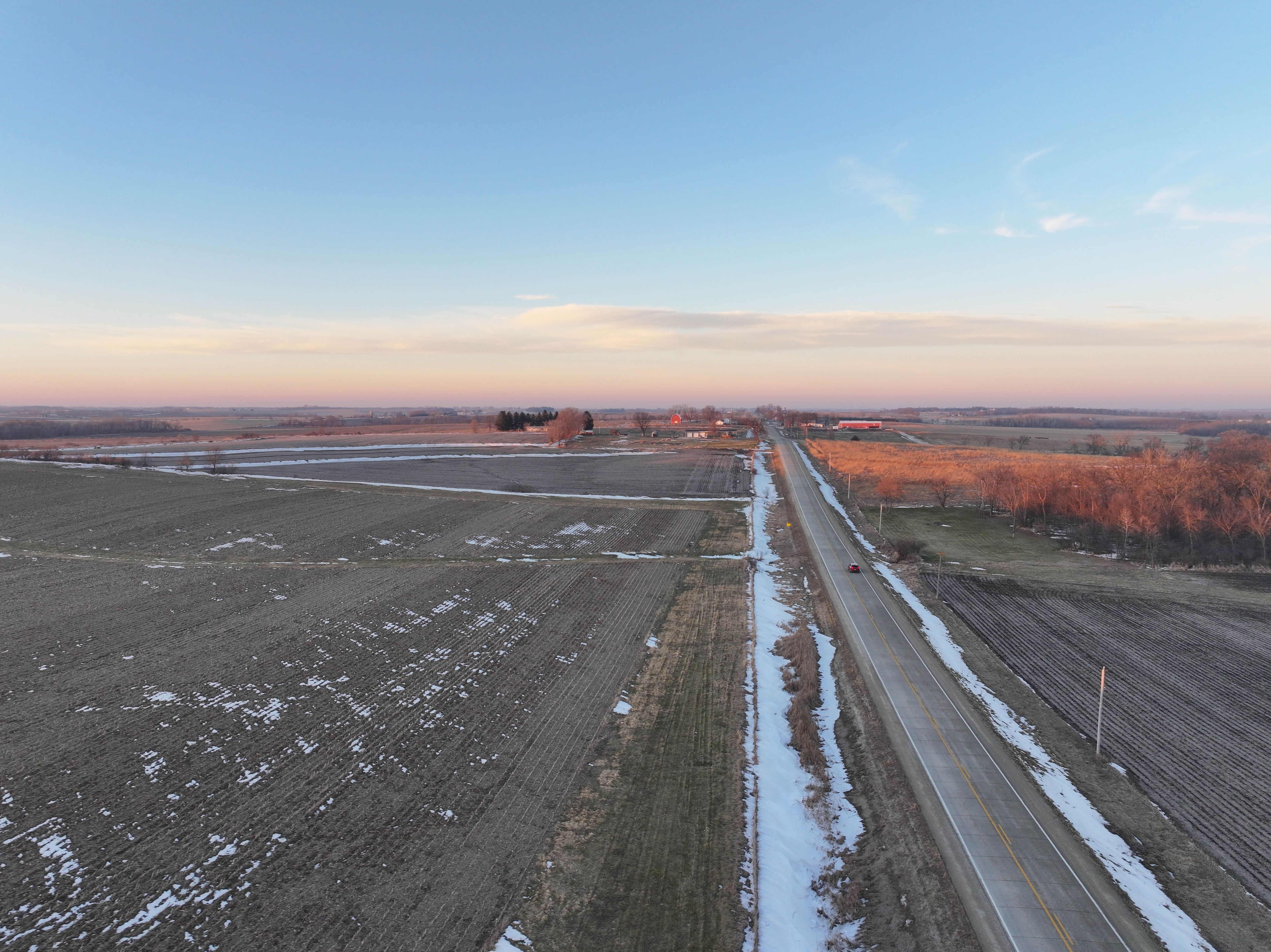
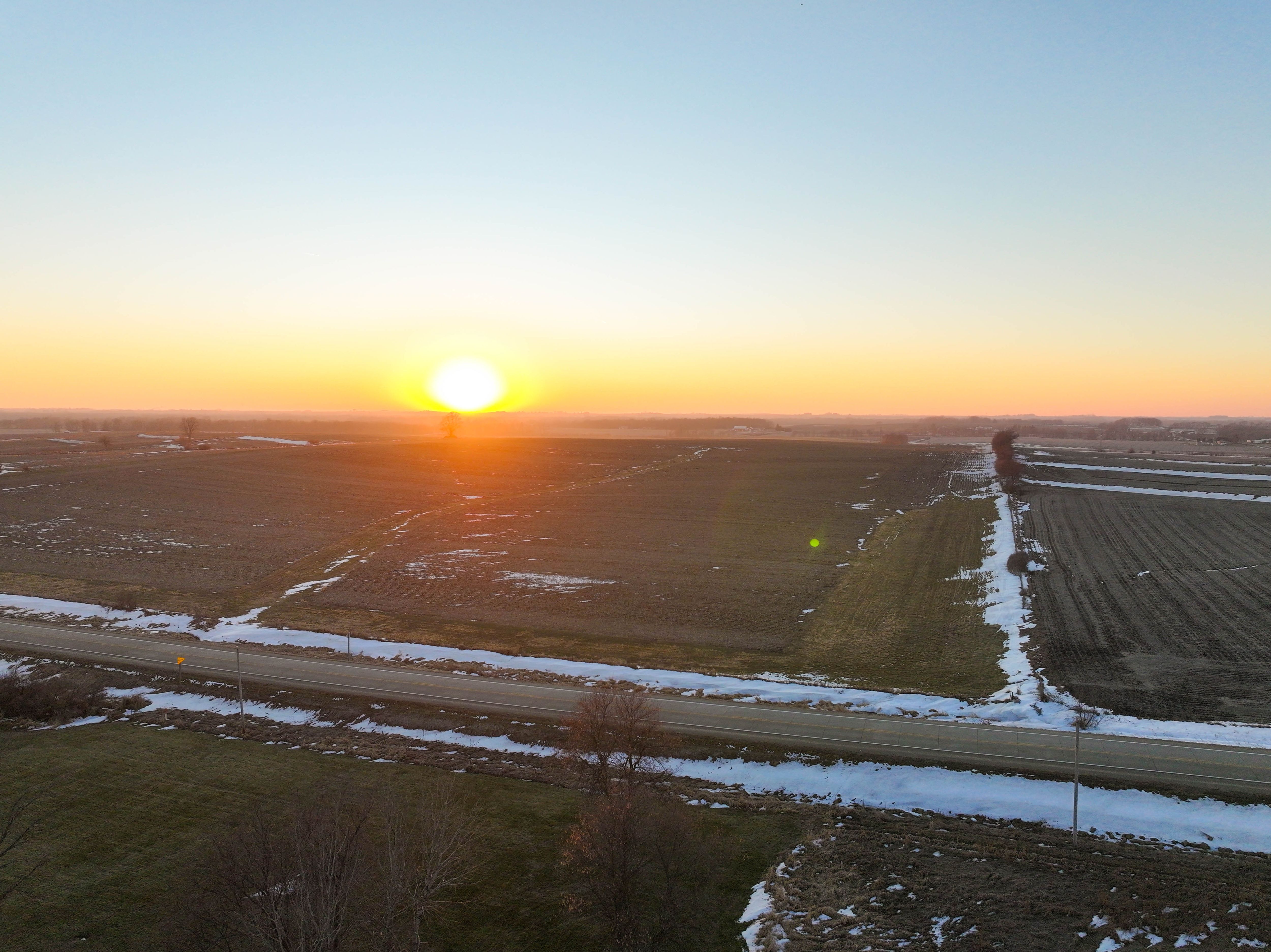
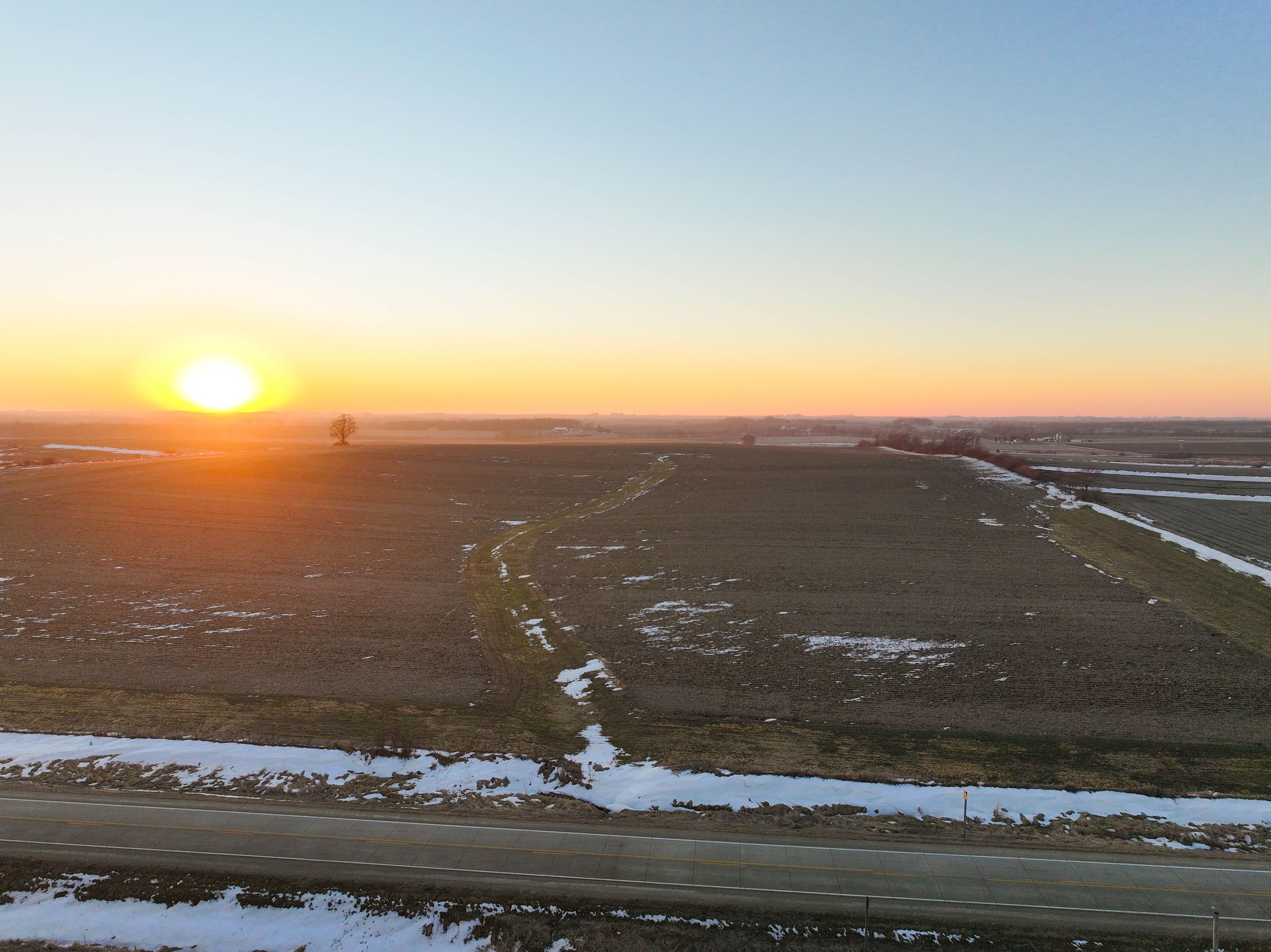
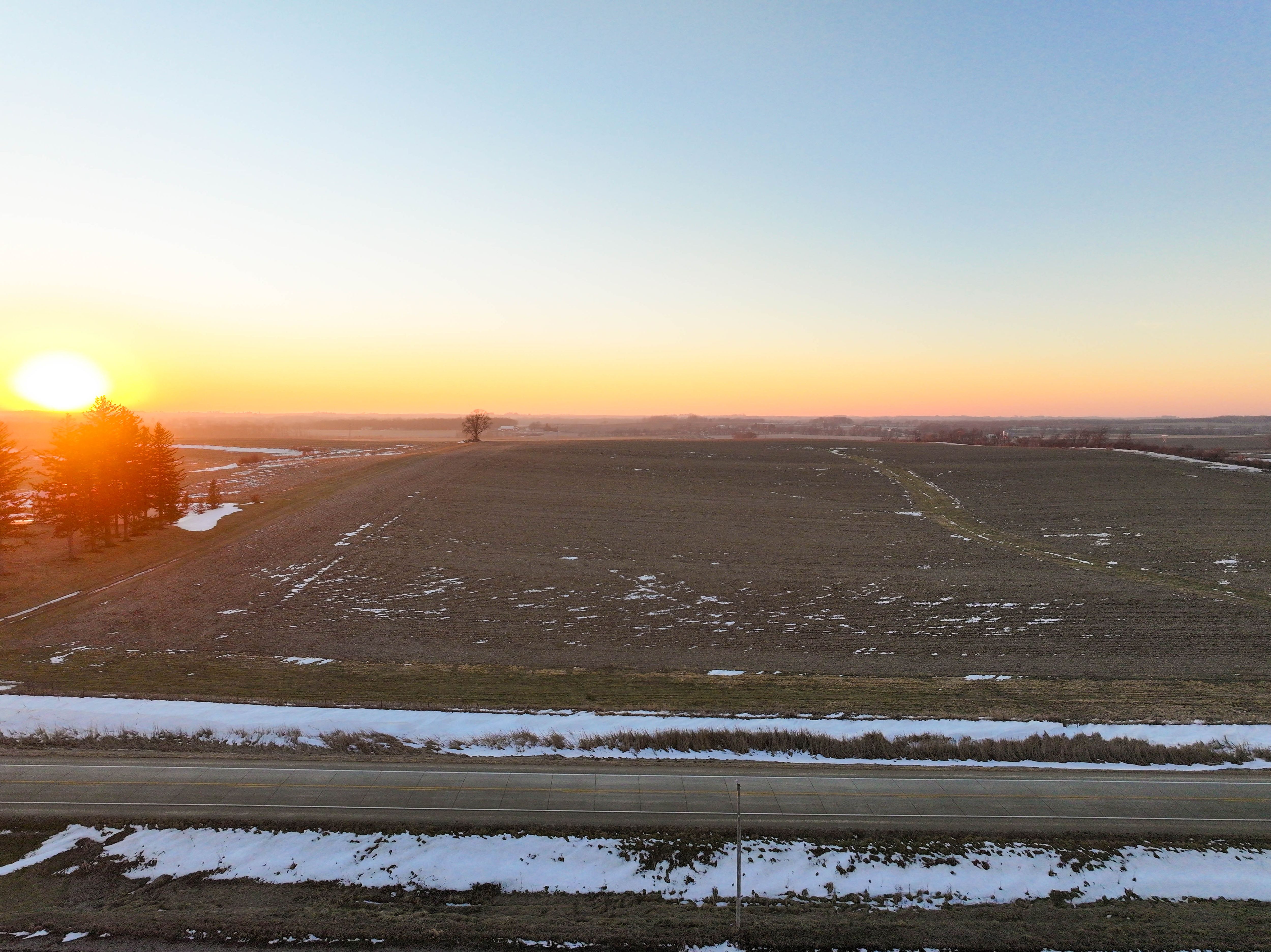
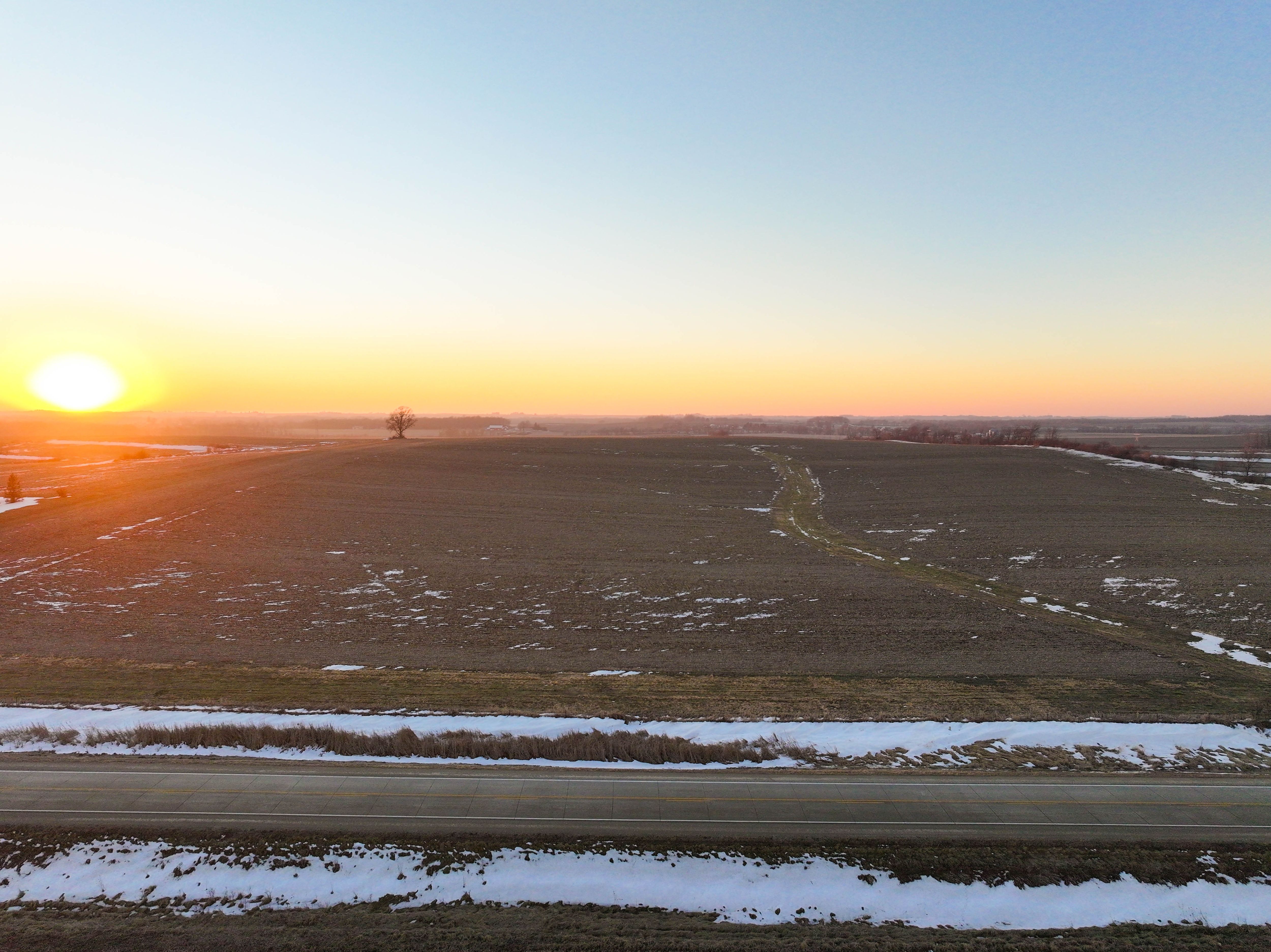
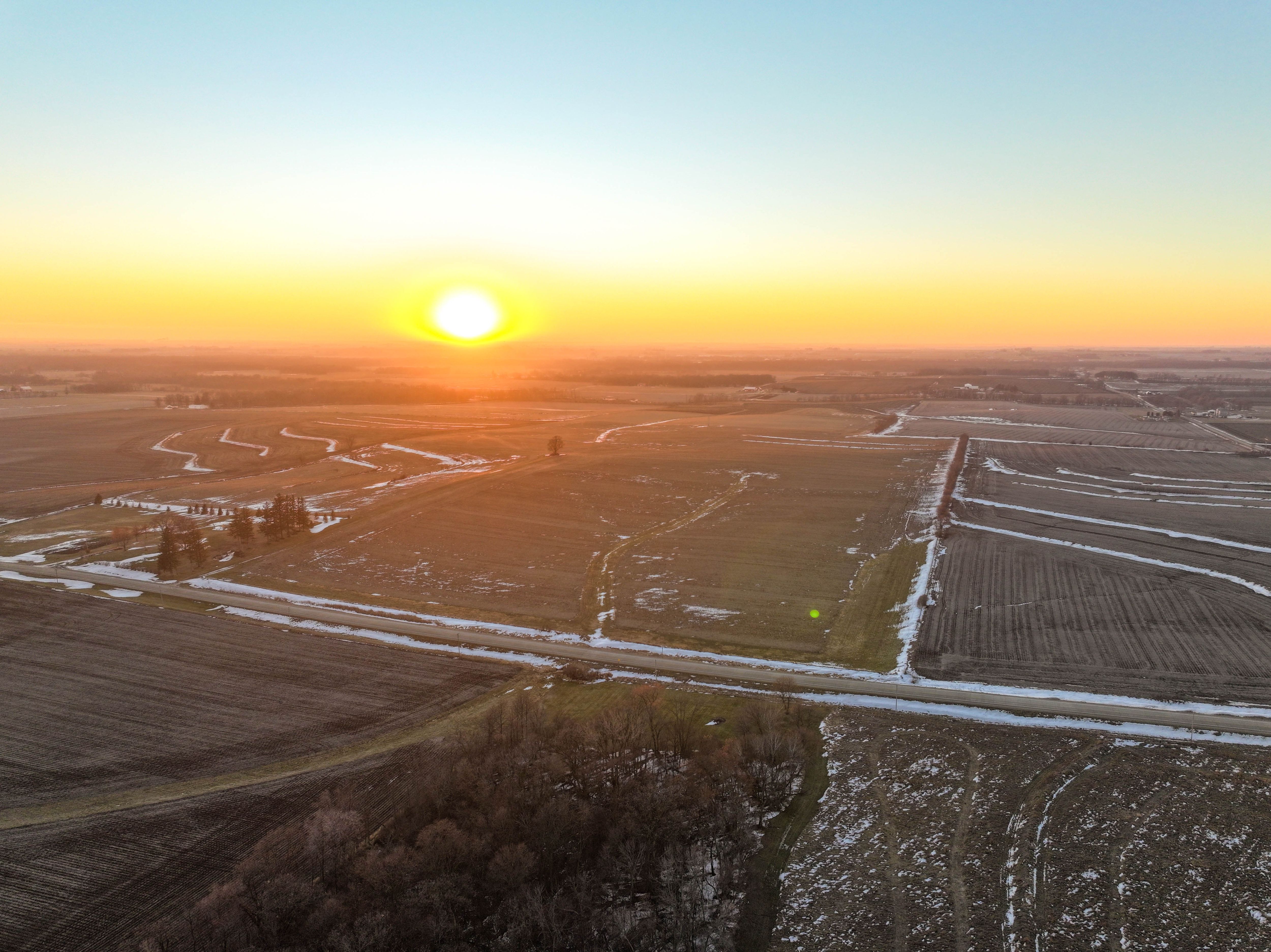
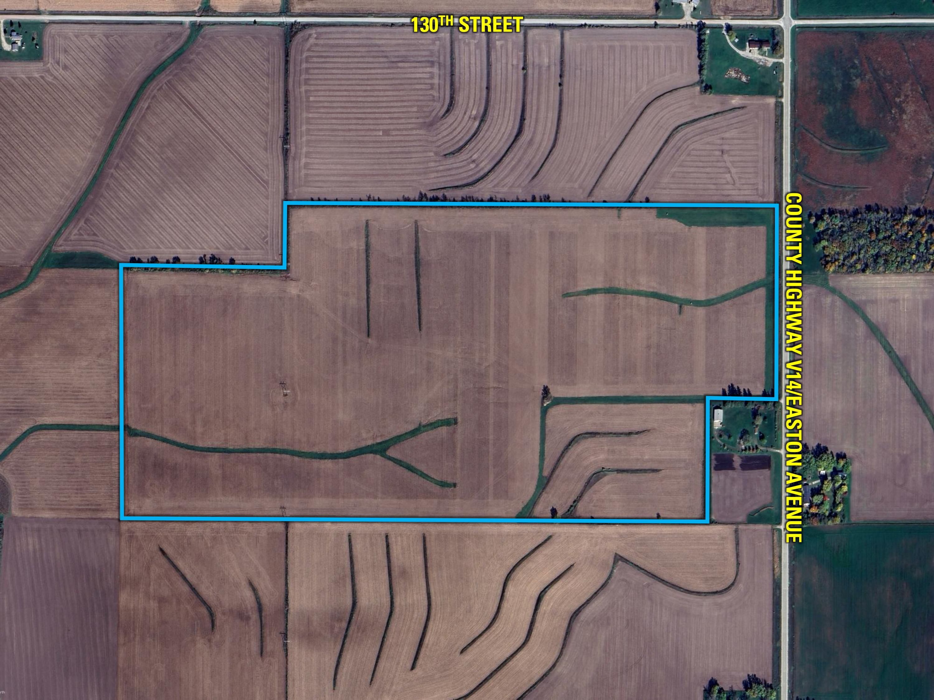
Bremer County, IA Farm for Sale – 119 Acres m/l - Plainfield, Iowa

Bremer County, IA
119.00 Acres M/L

Easton Avenue
Plainfield, IA 50666

Price $1,487,500
Listing #19038
Travis Smock

Senior Land Agent

Travis Smock

Mobile: 319.361.8089
Travis.Smock@PeoplesCompany.com

Property Info

Description

Peoples Company is excited to present an exceptional opportunity to acquire 119 acres m/l of prime farmland in Bremer County, Iowa. This nearly 100% income-generating property features 118.31 FSA tillable acres, with 112.39 acres actively producing row crops and the remaining portion utilized as grassland. Boasting an impressive average CSR2 rating of 84.4, significantly above the county average, this land is characterized by fertile Kenyon and Clyde loam soils.

Ideally located east of Plainfield near Highway 218, the farm is in close proximity to four ethanol plants, providing advantageous grain marketing opportunities. Over the years, extensive tile drainage has been installed in key areas to further enhance productivity and efficiency. Additionally, a transmission line along the western boundary offers potential prospects for renewable energy development.

This property is conveniently situated just north of Horton along the paved Highway V14/Easton Avenue in Section 22 of Polk Township, Bremer County, Iowa. Don't miss this chance to invest in a high-quality agricultural asset! 

Legal Description

119 Acres M/L in Section 22, Township 93, Range 14 West of the 5th P.M., Bremer County, IA. Exact legal description to be taken from Abstract.

Directions

From Plainfield: Travel east on Highway 188 for 3 miles. At the intersection of Highway 188 and Easton Avenue (Horton Corner). Head north on Easton Avenue for 3/4 mile, and the farm will be on the west side of the road.
  • Sign On Property: Yes
  • Parcel Number: 122100006, 122200002, 122200003, 122200006, 122200007
  • School District: Nashua-Plainfield Community School District
  • General Area: Northeast of Plainfield
  • Net Taxes: $3,618.00
  • CSR2: 84.4
  • Zoning: Ag


Interactive Map

Use the Interactive Map to explore the property's regional location. Zoom in and out to see the property's surroundings and toggle various mapping layers on and off in the Map Layer Menu.
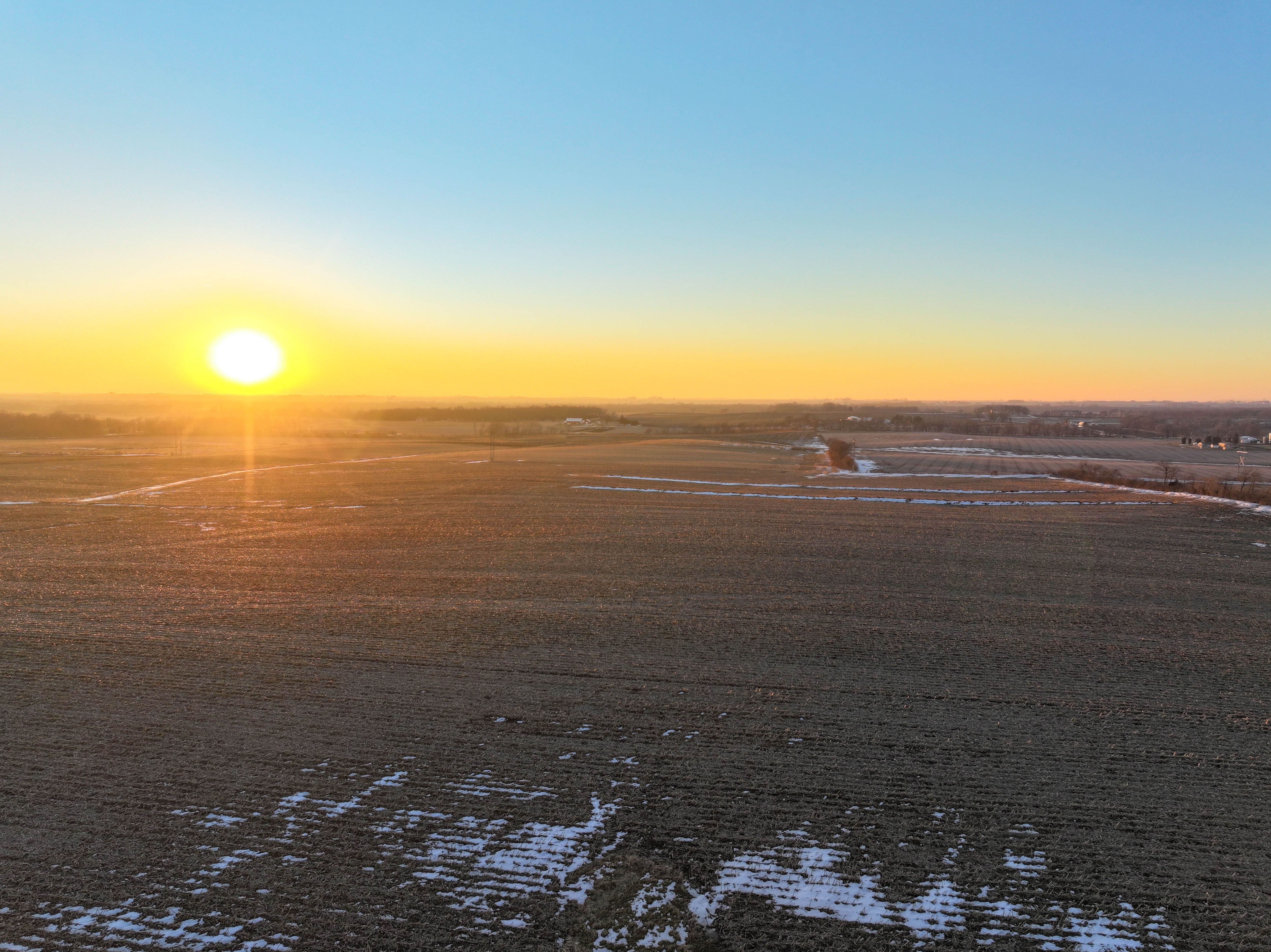
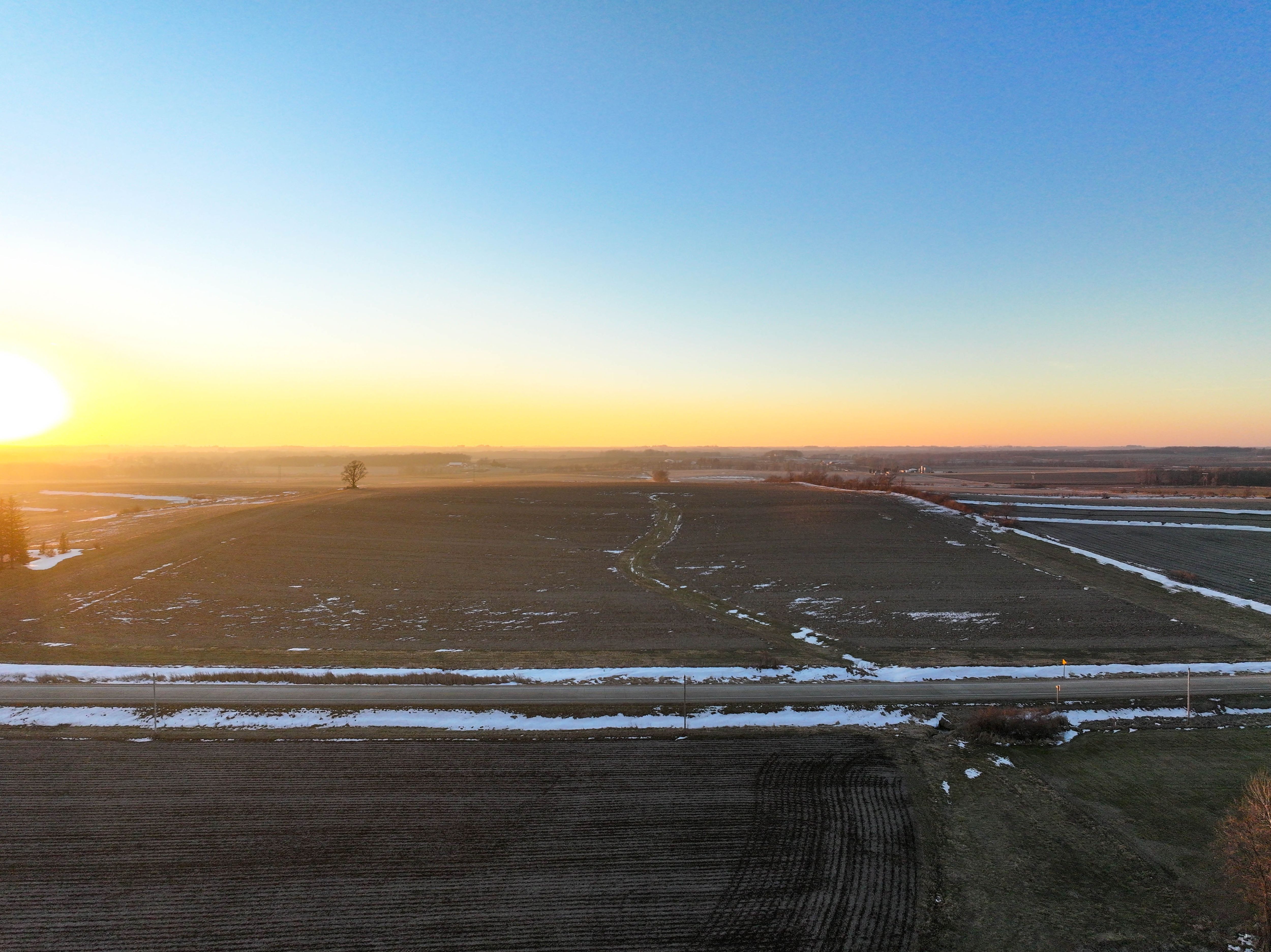
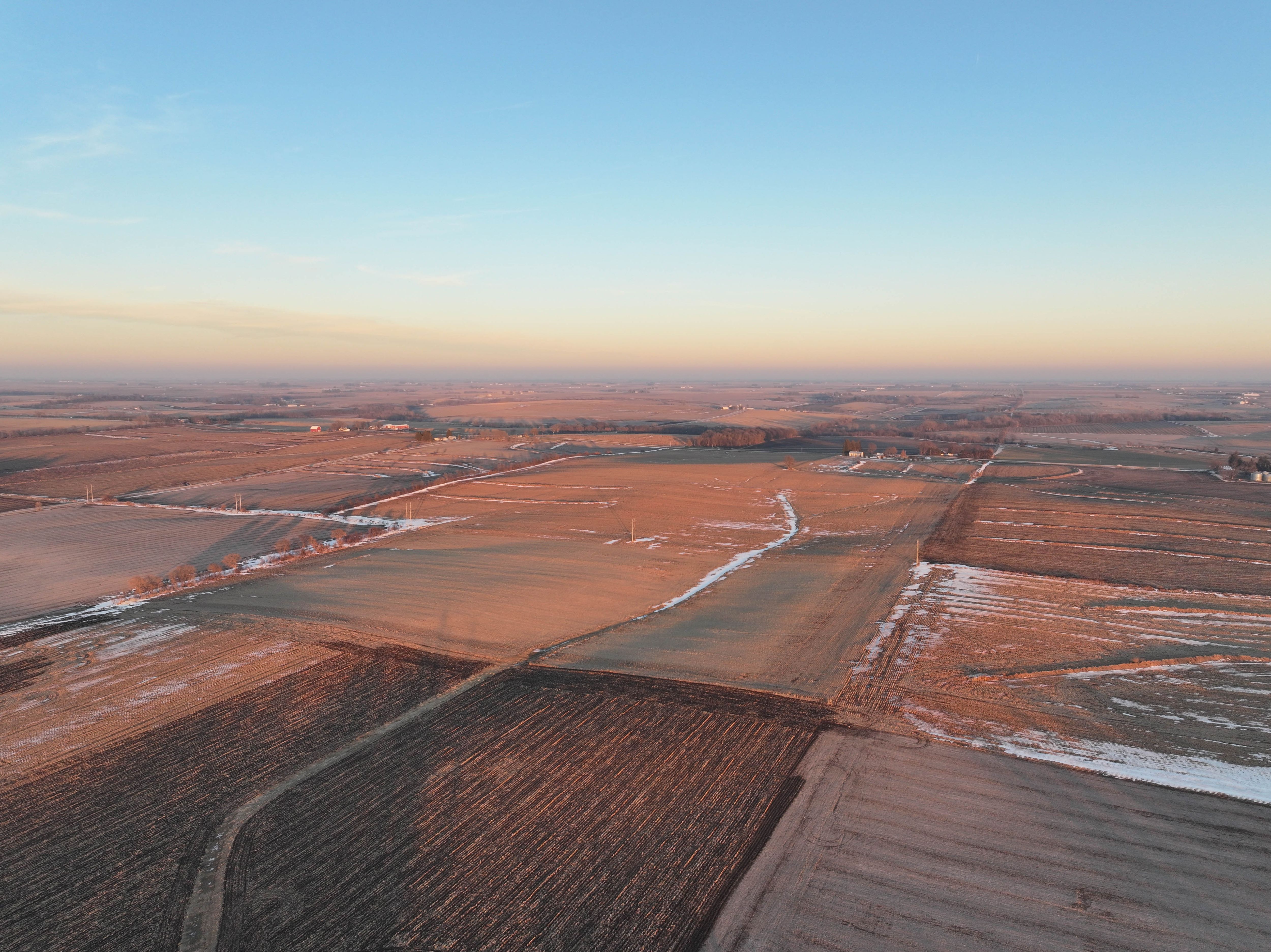
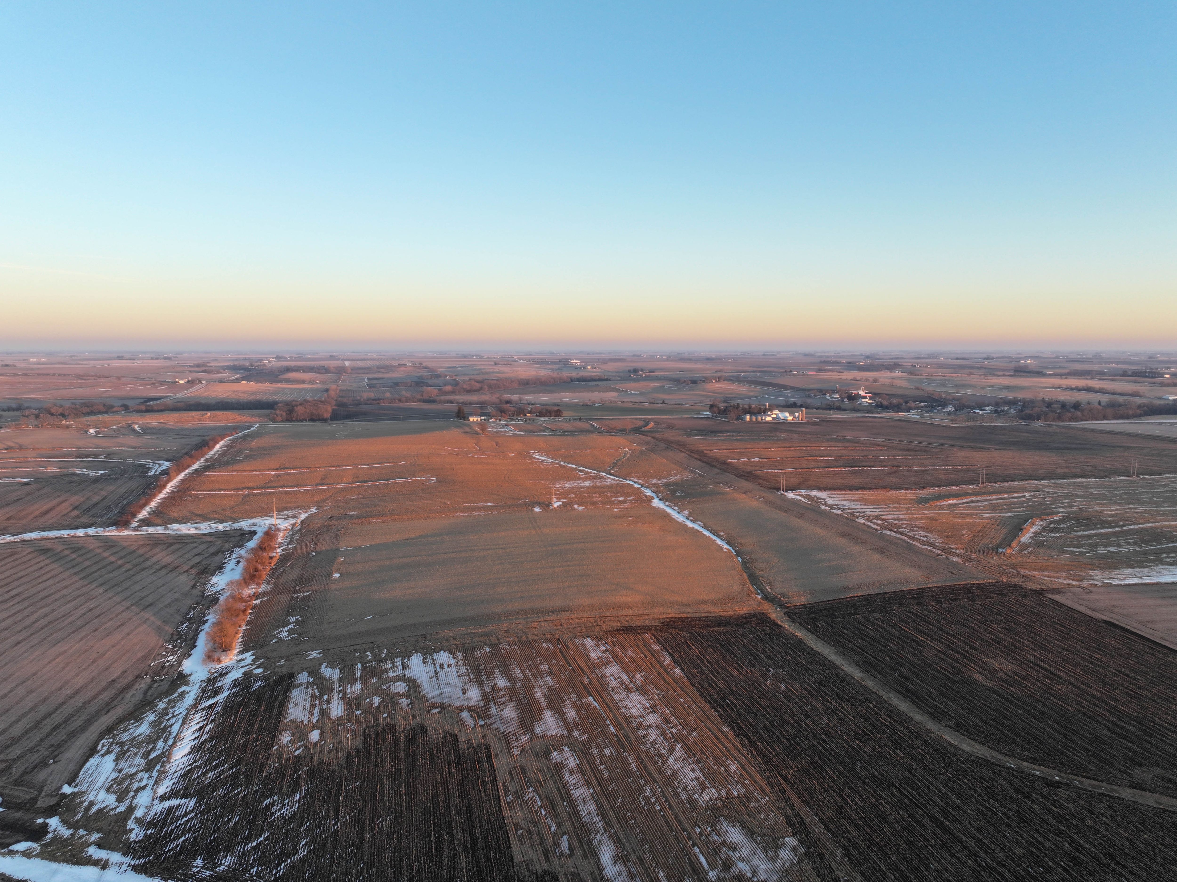
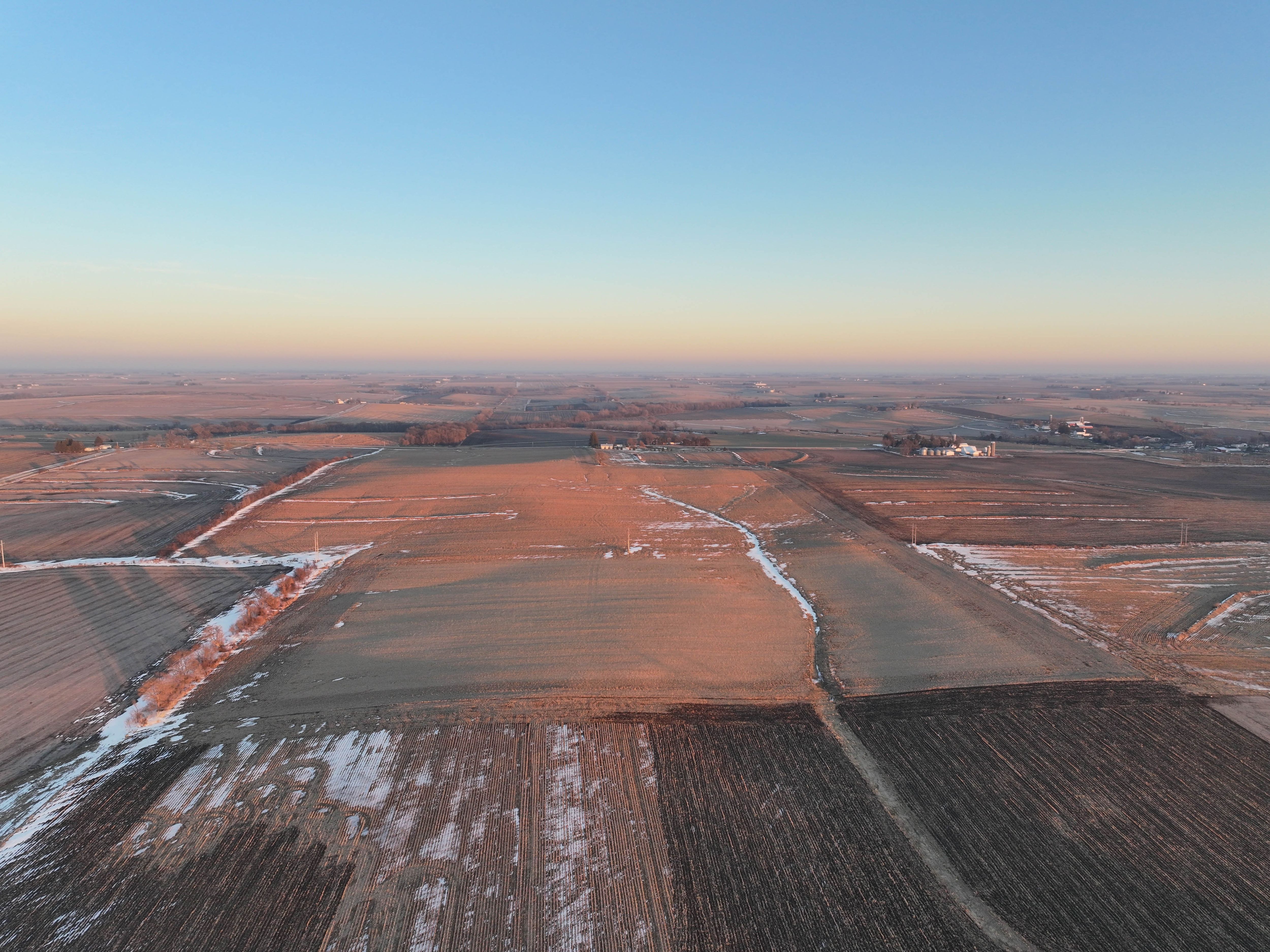
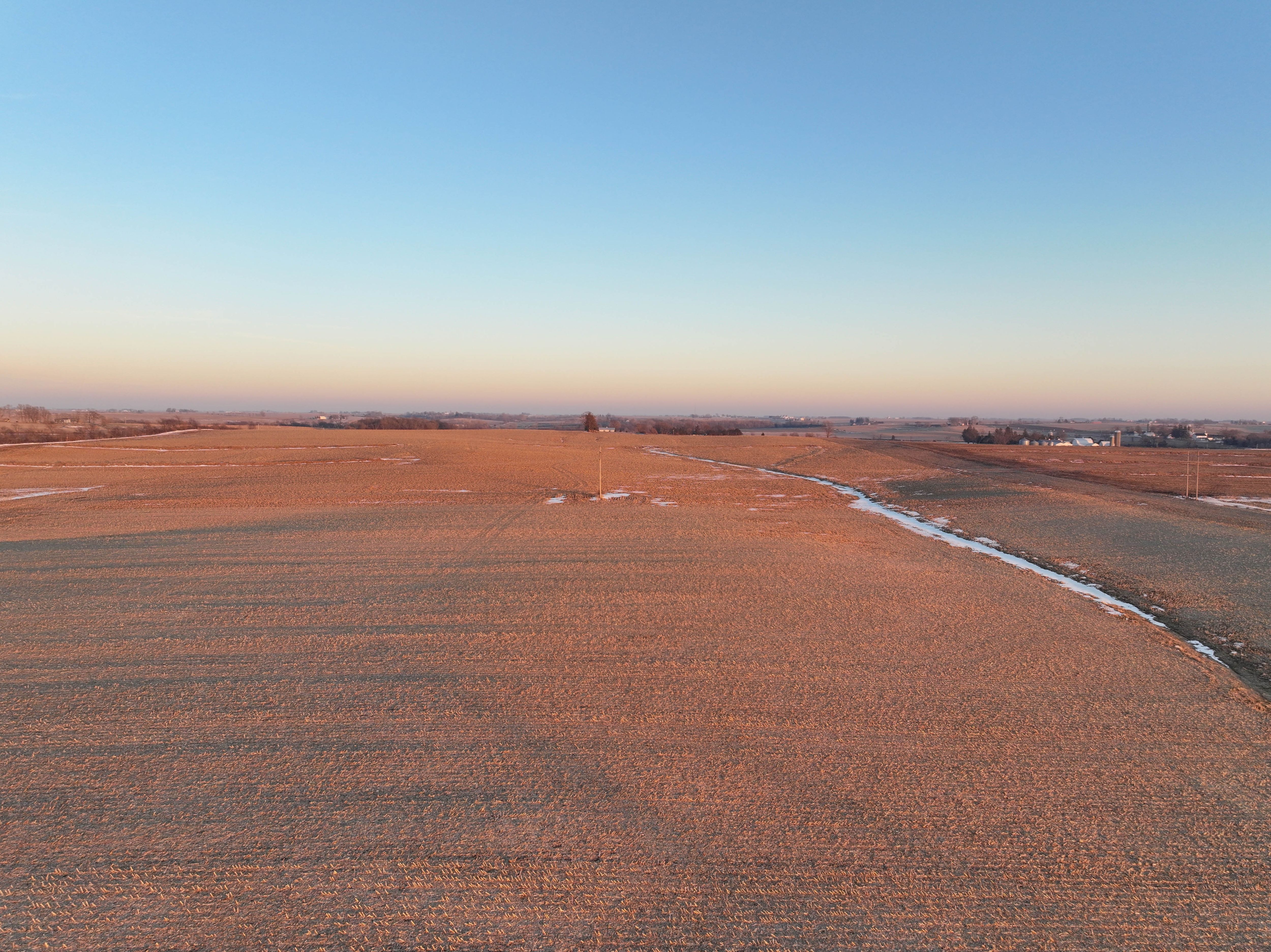
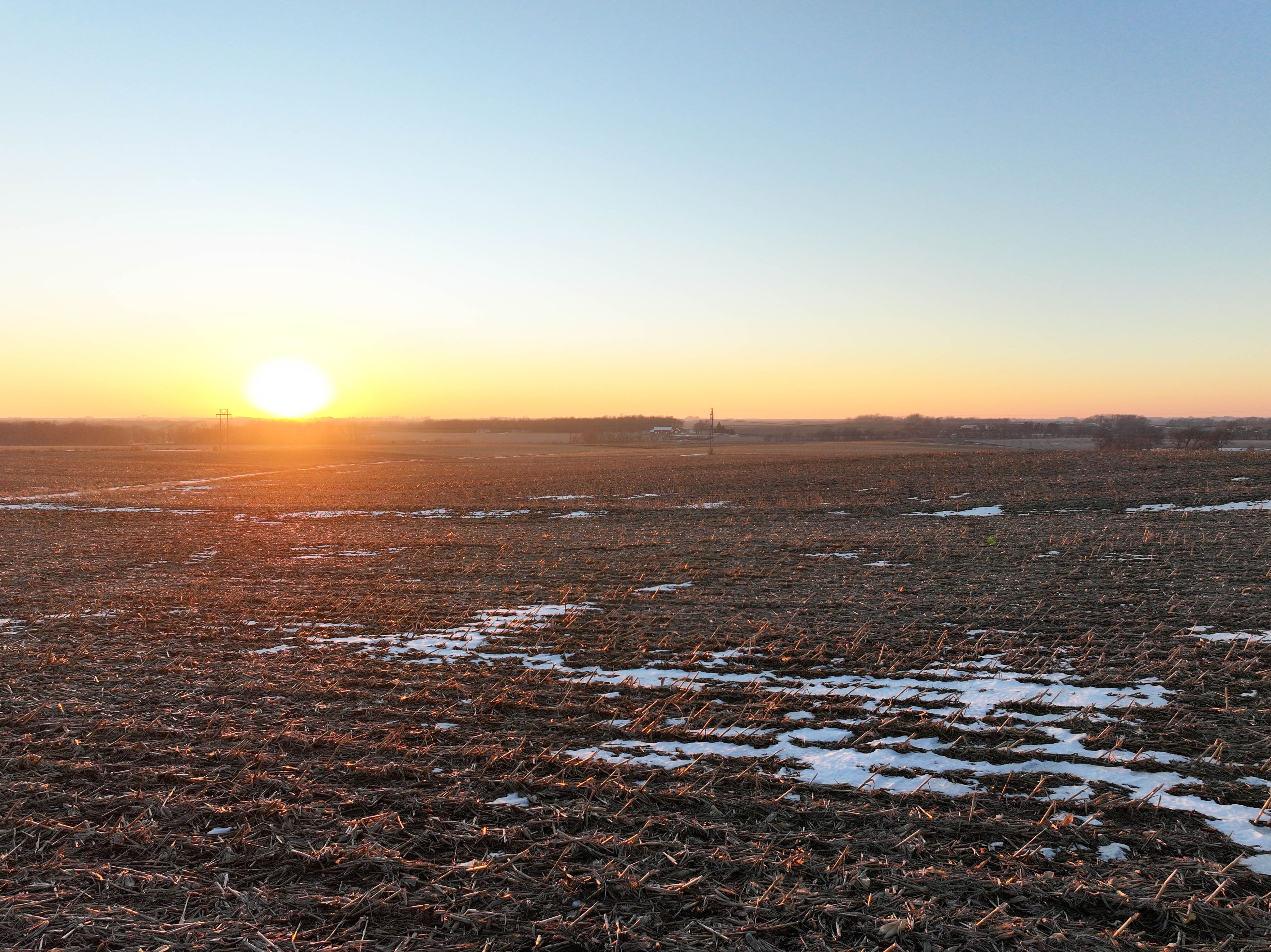
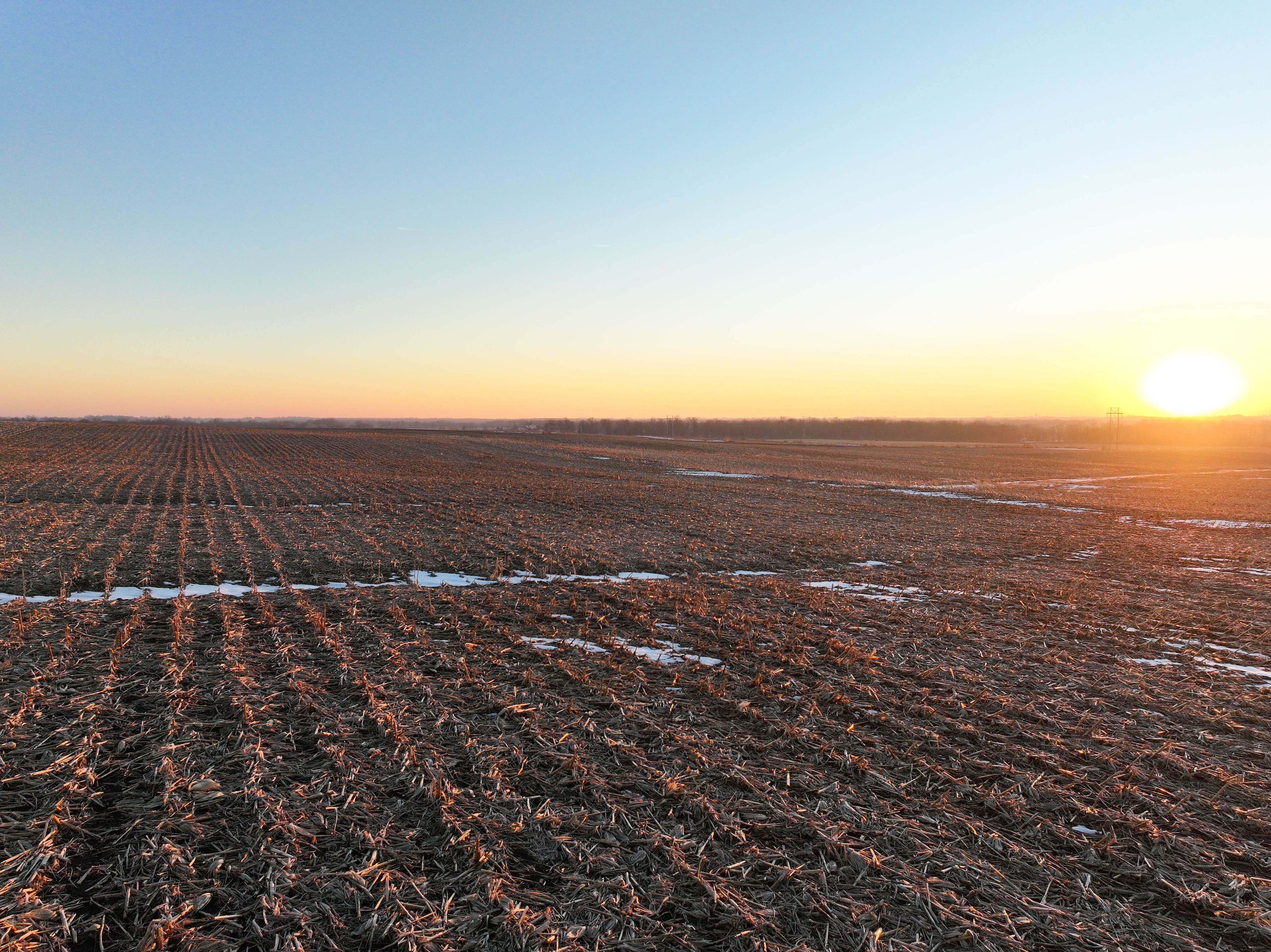
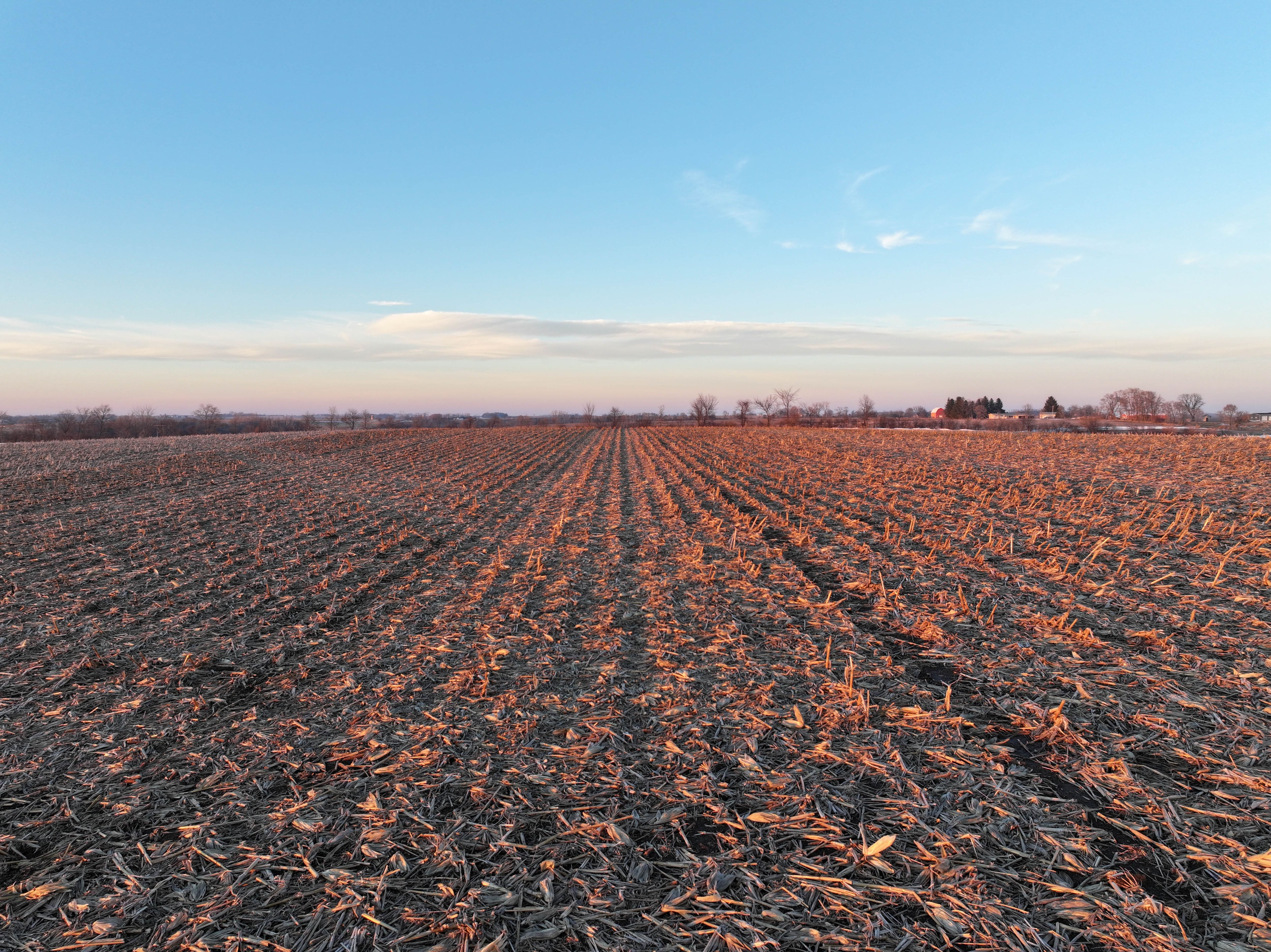
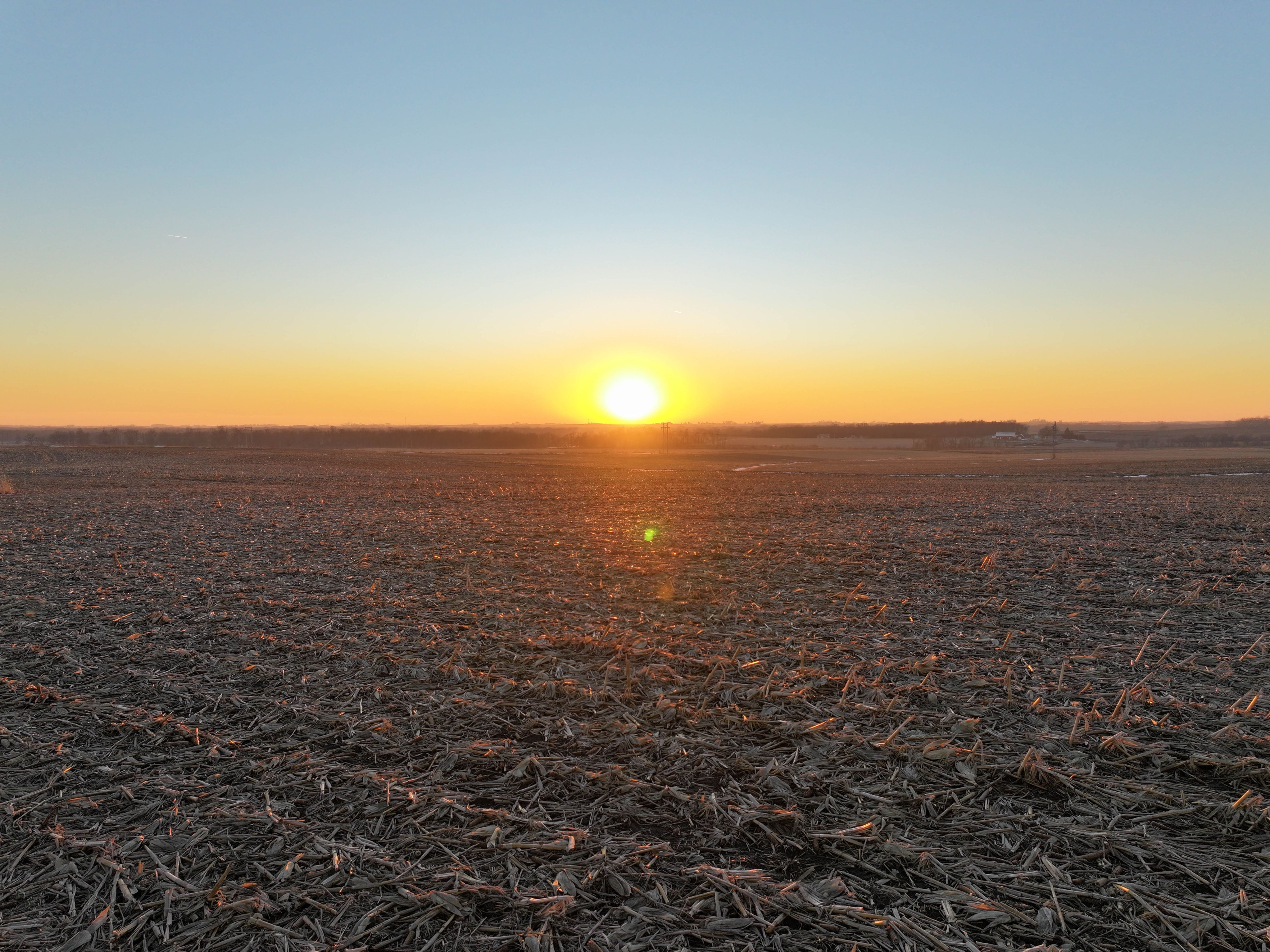
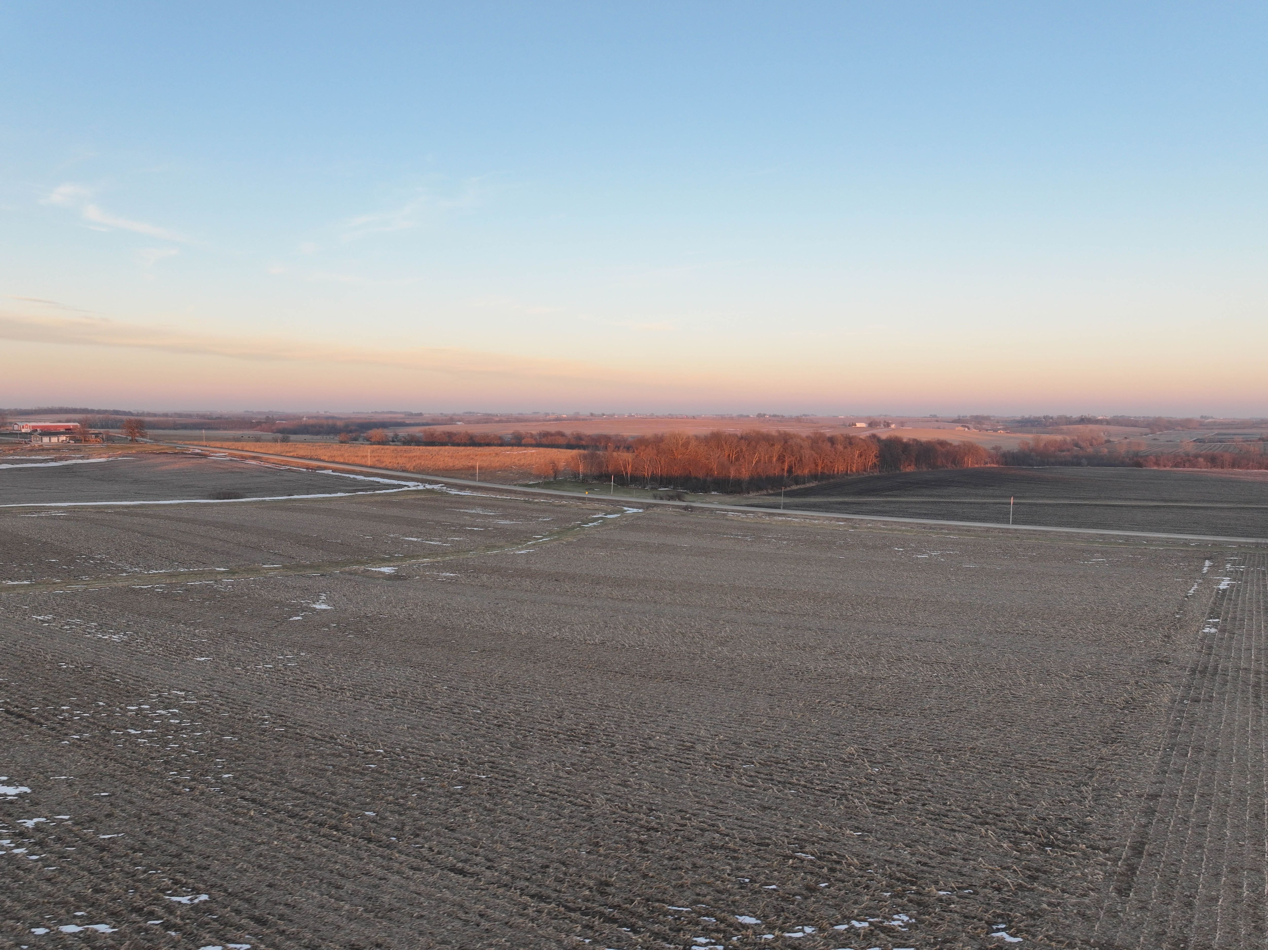

Photos

Listing Photo: Aerial Outline NE Corner Listing Photo: DJI_20260107163901_0054_D Listing Photo: DJI_20260107163805_0051_D Listing Photo: DJI_20260107163823_0052_D Listing Photo: DJI_20260107164057_0059_D Listing Photo: DJI_20260107164132_0061_D Listing Photo: DJI_20260107164145_0062_D Listing Photo: DJI_20260107164208_0063_D Listing Photo: DJI_20260107164313_0065_D Listing Photo: DJI_20260107164317_0066_D Listing Photo: DJI_20260107164335_0067_D Listing Photo: DJI_20260107164350_0068_D Listing Photo: DJI_20260107164408_0069_D Listing Photo: DJI_20260107164430_0070_D Listing Photo: DJI_20260107164520_0072_D Listing Photo: DJI_20260107164528_0073_D Listing Photo: DJI_20260107164545_0074_D Listing Photo: DJI_20260107164551_0075_D Listing Photo: DJI_20260107164632_0077_D Listing Photo: Google Close Edited Listing Photo: Google Far Edited