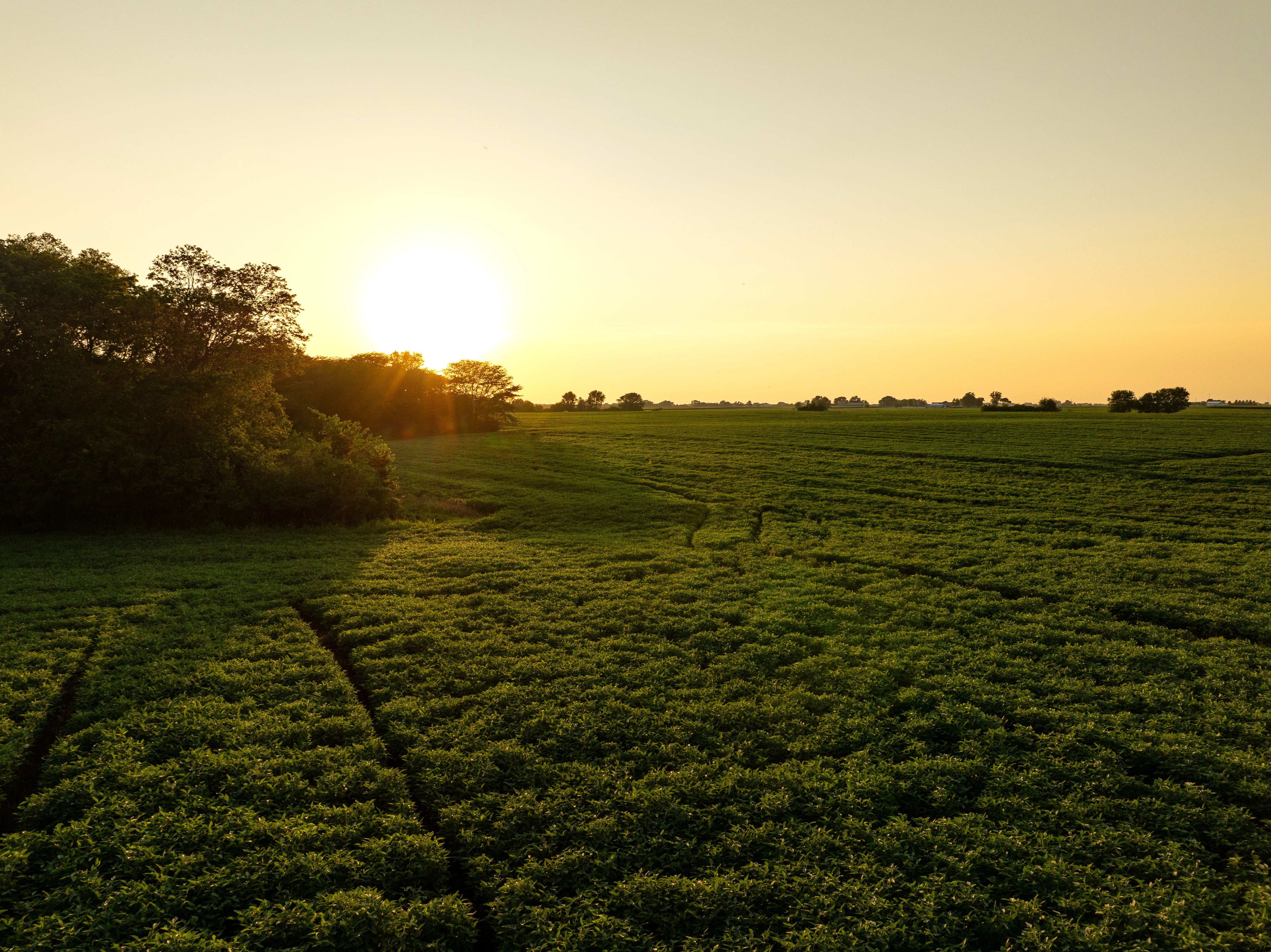
Dallas County, Iowa Land Auction – 139.31 Acres M/L
Sold

Property Info
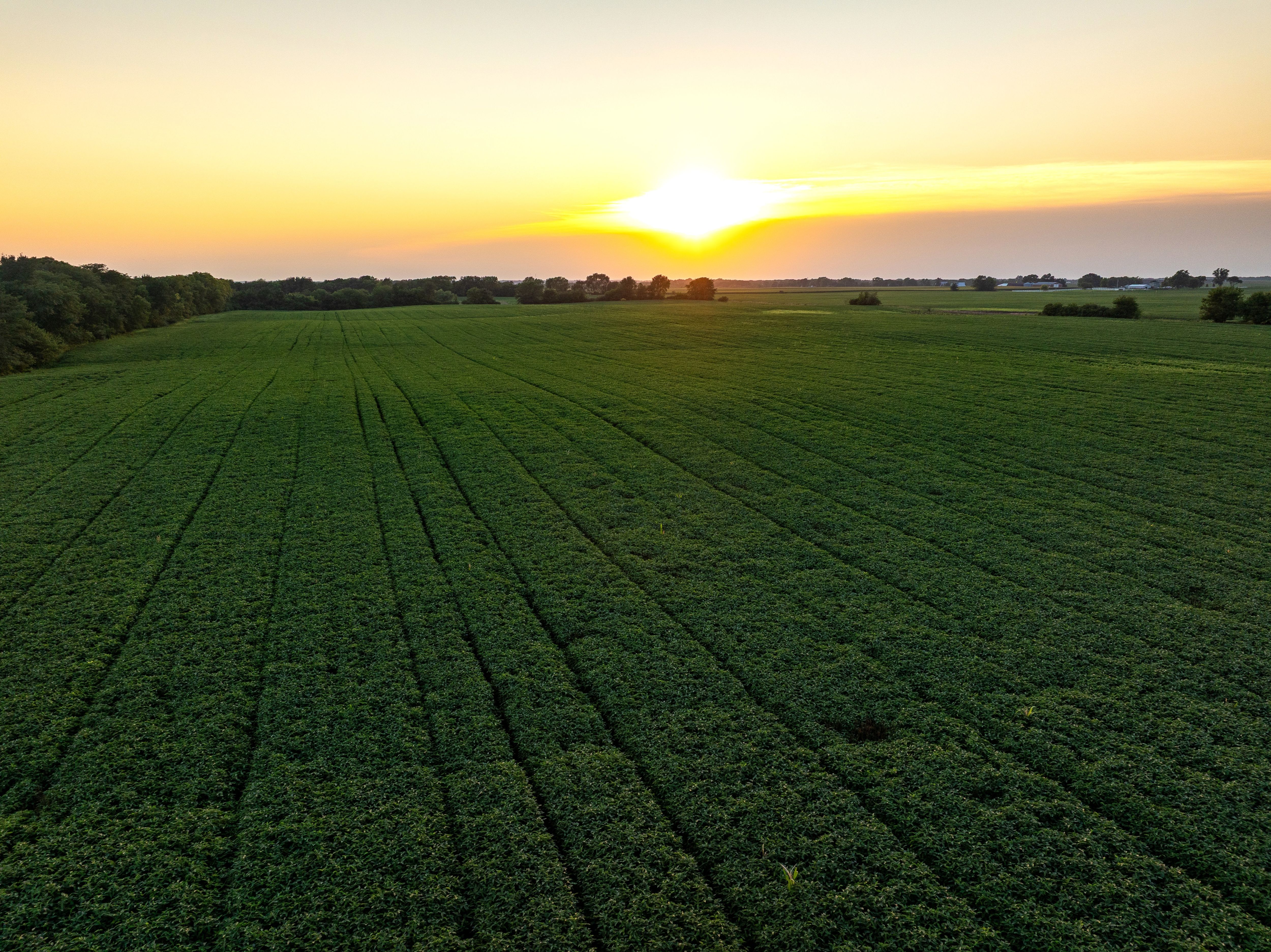
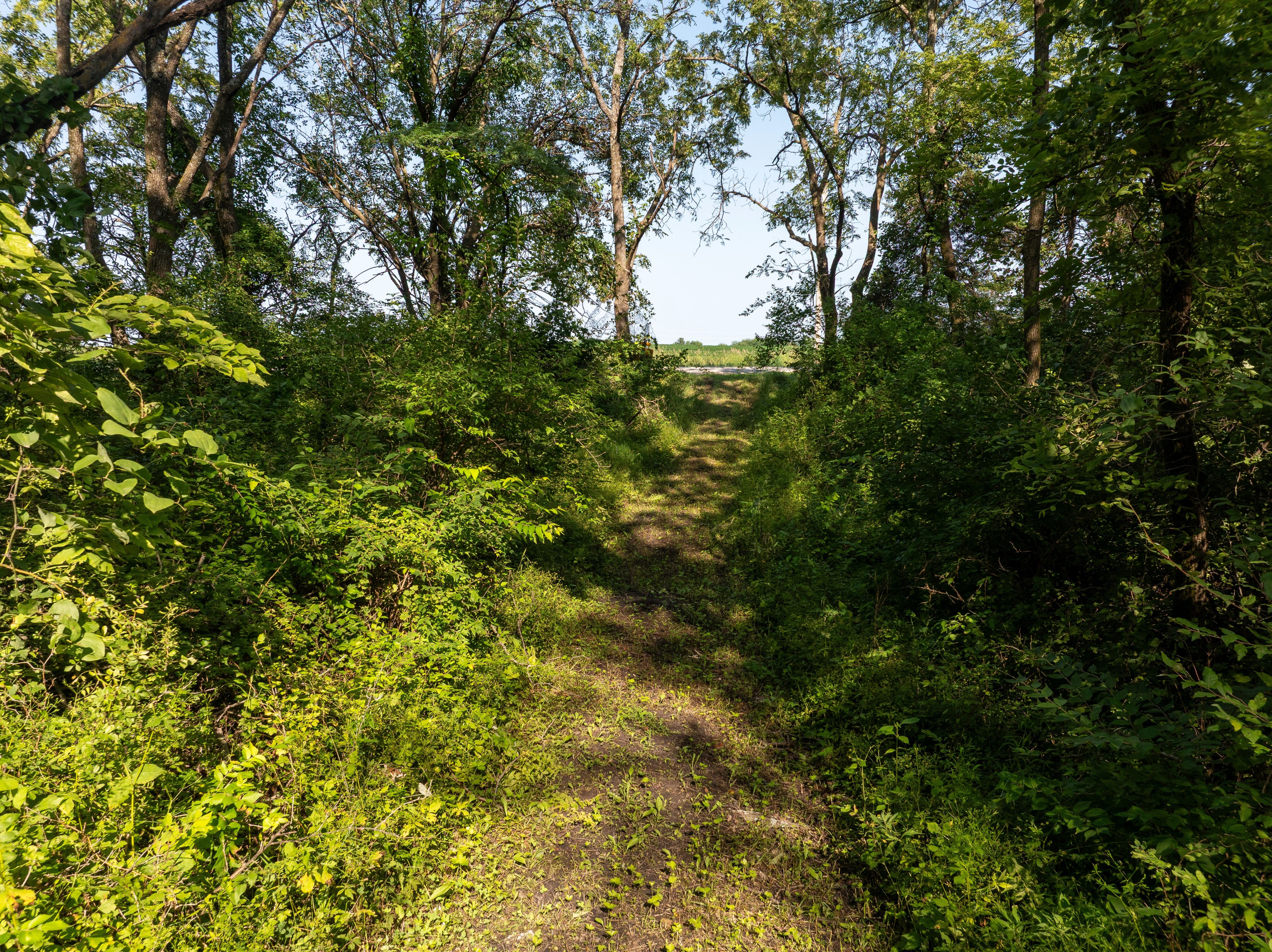
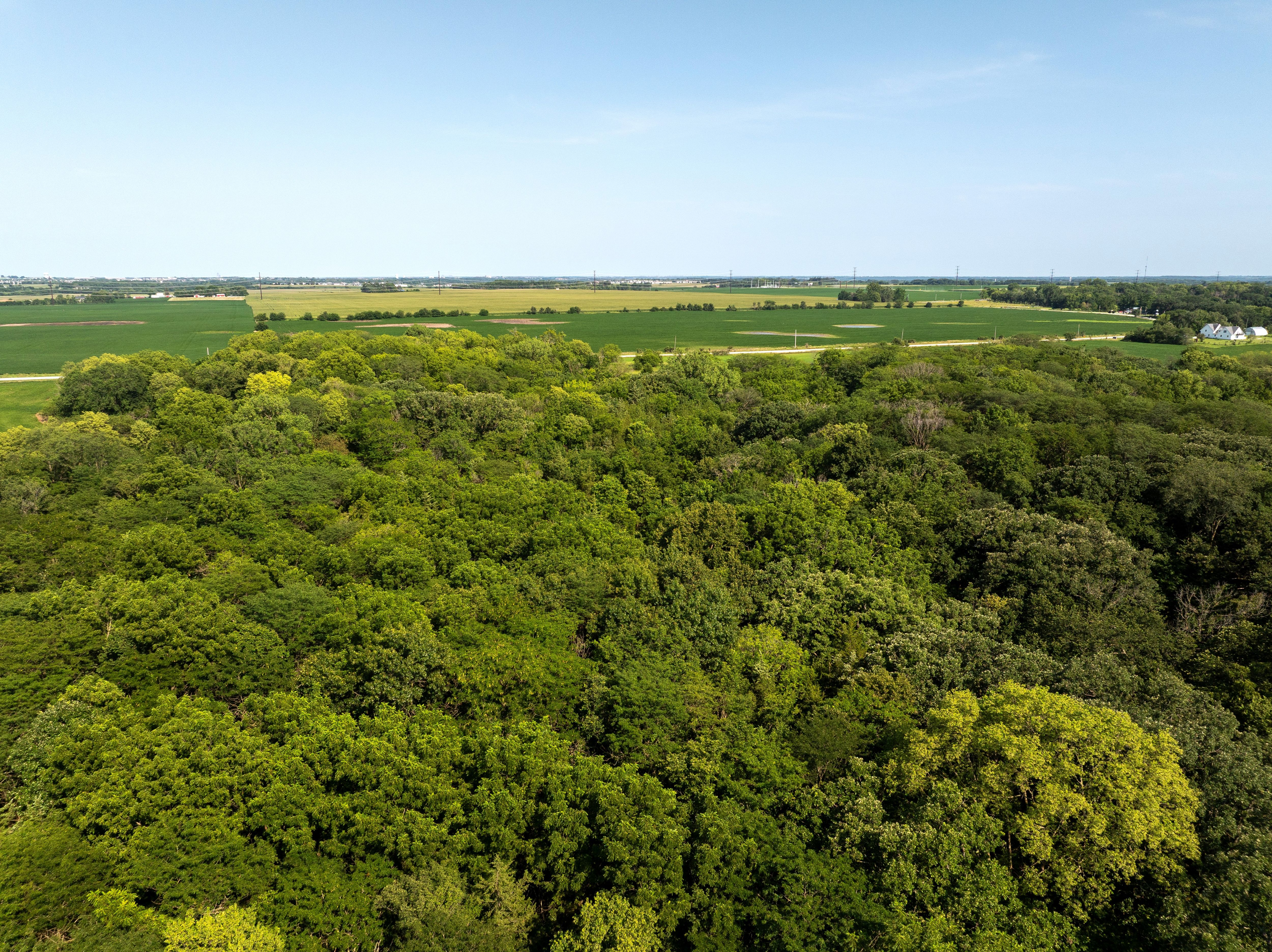
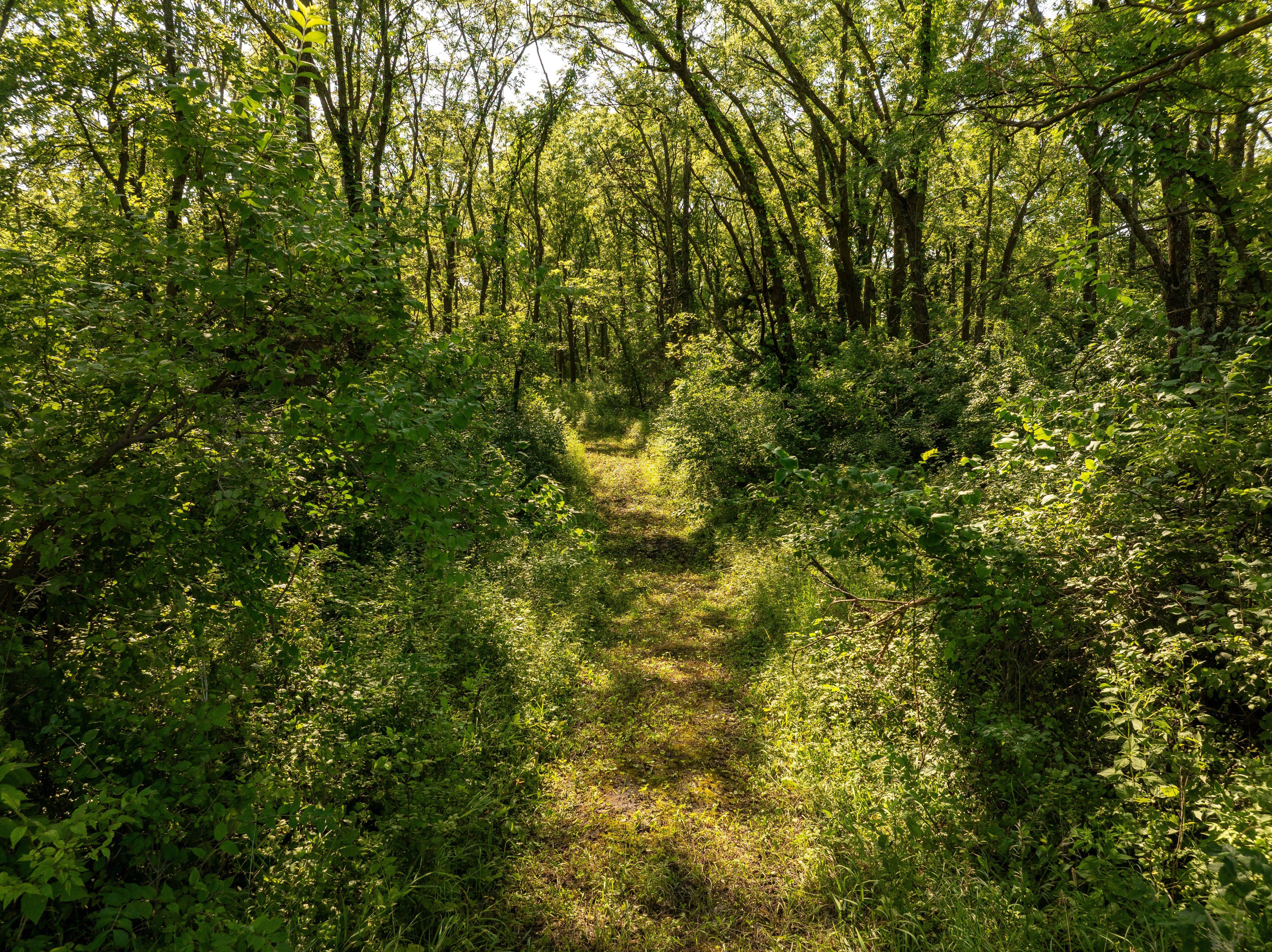
Description
Legal Description
Directions
- Sign On Property: Yes
- MLS Number: 721922
- Parcel Number: 1503400001; 1503200012; 1503400002
- School District: Van Meter Community School District
- General Area: West of Waukee, Iowa; Southeast of Adel, Iowa
- Gross Taxes: $2,792.00
- CSR2: 85.7
- Zoning: Agriculture
Interactive Map
Use the Interactive Map to explore the property's regional location. Zoom in and out to see the property's surroundings and toggle various mapping layers on and off in the Map Layer Menu.
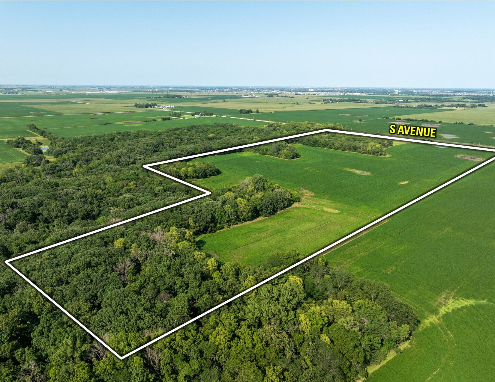
Tracts

Description
Legal Description
Details
- Acres: 43.44 Acres M/L
- Parcel Number: 1503400001; 1503200012
- CSR2: 88.3
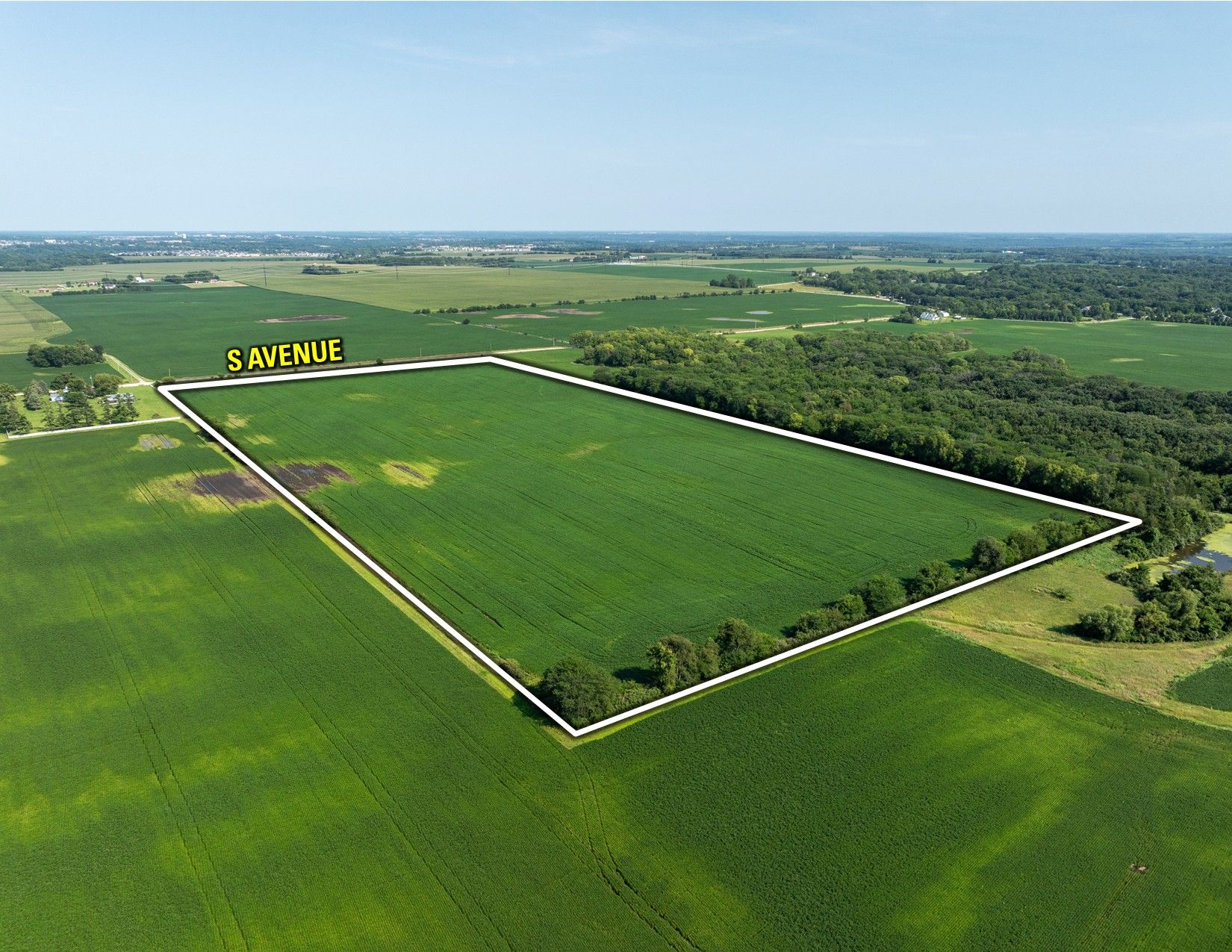
Directions

Description
Legal Description
Details
- Acres: 40.15 Acres M/L
- Parcel Number: 1503400001; 1503200012; 1503400002
- CSR2: 79.7
Directions

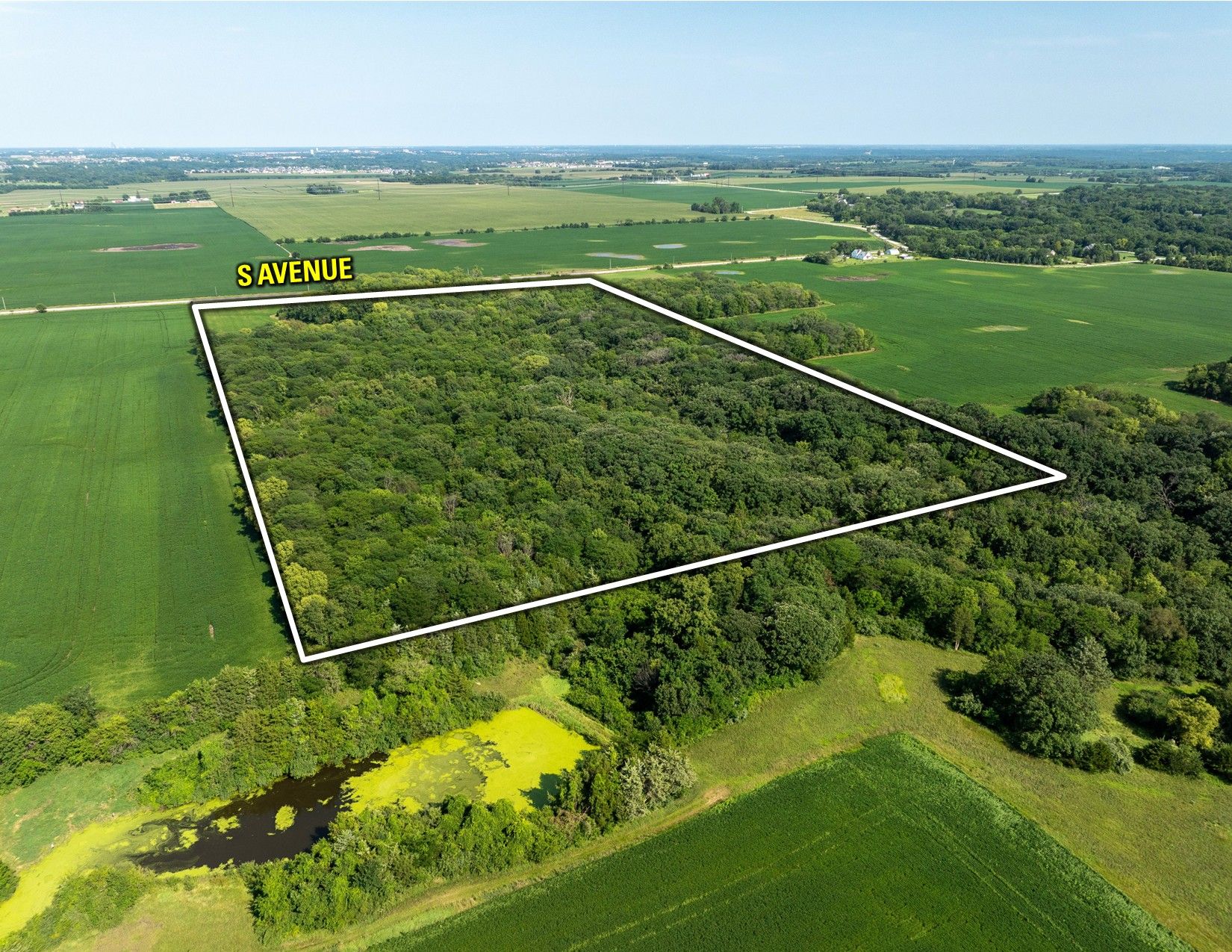
Description
Legal Description
Details
- Acres: 55.72 Acres M/L
- Parcel Number: 1503400001; 1503400002
- CSR2: 83.6
Directions
Bid Now
Auction Details & Terms
Dallas County, Iowa Land Auction
August 21st, 2025
10:00 AM CST
August 21st, 2025
10:00 AM CST
Auction Location:
Waukee Community Center
675 Walnut Street
Waukee, IA 50263
Auction Method: The three tracts will be offered individually on a price-per-acre basis using the “Buyer's Choice” auction method, where the high bidder can take, in any order, one, two, or all tracts for their high bid. "Buyer's Choice" auctioning will continue until all tracts have been purchased and removed from the auction. Tracts will not be offered in their entirety at the conclusion of the auction. The sale can also be viewed through a Virtual Online Auction option and online bidding will be available.
Bidder Registration: All prospective bidders must register with Peoples Company and/or Hopkins & Huebner, P.C. (the "Auction Company") to receive a bidder number to bid at the auction. Auction Company and its representatives are agents of the Seller. Winning bidder(s) acknowledge they are representing themselves in completing the auction sales transaction.
Online Bidding: Register to bid at http://peoplescompany.bidwrangler.com/. Potential bidders may have access to the live auction by utilizing Peoples Company's online auction platform via the Internet. By using Peoples Company's online auction platform, bidders acknowledge that the Internet is known to be unpredictable in performance and may, from time to time, impede access, become inoperative, or provide a slow connection to the online auction platform. Bidders agree that Peoples Company nor its affiliates, members, officers, shareholders, agents, or contractors are, in any way, responsible for any interference or connectivity issues the bidder may experience when utilizing the online auction platform.
Farm Program Information: Farm Program Information is provided by the Dallas County Farm Service Agencies. The figures stated in the marketing material are the best estimates of the Seller and Auction Company; however, Farm Program Information, base acres, total crop acres, conservation plan, etc., are subject to change when the farm is reconstituted by the Dallas County FSA and NRCS offices.
Earnest Money Payment: A 10% earnest money payment is required on the day of the auction. The earnest money payment may be paid in the form of a certified check or wire transfer. All funds will be held by Hopkins & Huebner, P.C.
Closing: Closing will occur on or before October, 2nd, 2025. The balance of the purchase price will be payable at closing in the form of guaranteed checks or wire transfers. With respect to the timing of the Seller and successful Buyer in fulfilling the obligations set forth in the Real Estate Sale and Purchase Agreement, time is of the essence.
Possession: At Closing, Subject to Tenant's Rights. Possession will be after the harvest and removal of the 2025 crops.
Farm Lease: The farm is leased for the 2025 crop season, but will be 'open' for the 2026 crop season. All farm income for the 2025 crop year will be retained by the Seller. A copy of this lease is available upon request. Should the Buyer of each respective tract want to start building during the cropping season, there is a buyout provision for the tillable acres.
Contract & Title: Immediately upon the conclusion of the auction, the winning bidder will enter into a real estate sales contract and deposit with Hopkins & Huebner, P.C. the required earnest money payment. The Seller will provide a current abstract at their expense. The sale is not contingent upon Buyer financing.
Financing: The buyer's obligation to purchase the Real Estate is unconditional and is not contingent upon the Buyer obtaining financing. All financial arrangements are to have been made before bidding at the auction. By the mere act of bidding, the bidder makes the representation and warrants that the bidder has the present ability to pay the bid price and fulfill the Contract.
Court Approval: The high bidders will enter into written purchase agreements and deposit 10% earnest money on the day of the sale. These agreements will be contingent upon and subject to court approval.
Property Taxes: All real estate taxes will be prorated between the Seller and Buyer to the date of closing.
Fences: Existing fences, if any, are in as-is condition and will not be updated or replaced by the Sellers. Not all tract and boundary lines are fenced and if needed, will be the responsibility of the Buyer at closing. Existing fence lines may not fall directly on the legal boundary.
Other: This sale is subject to all easements, covenants, leases, and restrictions of record. All property is sold on an “As is – Where is” basis with no warranties, expressed or implied, made by the Auctioneer, Auction Company, or Seller. All bids will be on a per-acre basis. Auction Company and its representatives are agents of the Seller. The winning bidder acknowledges that they are representing themselves in completing the auction sales transaction. Any announcements made on auction day by the Auctioneer or Listing Agents will take precedence over all previous marketing material or oral statements. Bidding increments are at the sole discretion of the Auctioneer. No absentee or phone bids will be accepted at the auction without prior approval of the Auctioneer. All decisions of the Auctioneer are final.
Disclaimer: All field boundaries are presumed to be accurate according to the best available information and knowledge of the Seller and Auction Company. Overall tract acres, tillable acres, etc., may vary from the figures stated within the marketing material. Buyer should perform his/her investigation of the property before bidding at the auction. The brief legal descriptions in the marketing material should not be used in legal documents. Full legal descriptions are to be taken from the Abstract.
Photos


Tract 1 Photos


Tract 2 Photos


Tract 3 Photos