Sold

Warren County, IA
140.00 Acres M/L

4430 Hwy 316
Swan, IA 50252

Price $896,000
Listing #14510

LAND AGENT

Eric Lonnevik

Office: 515.222.1347
Mobile: 515.473.0278
Eric@PeoplesCompany.com

Property Info

Description

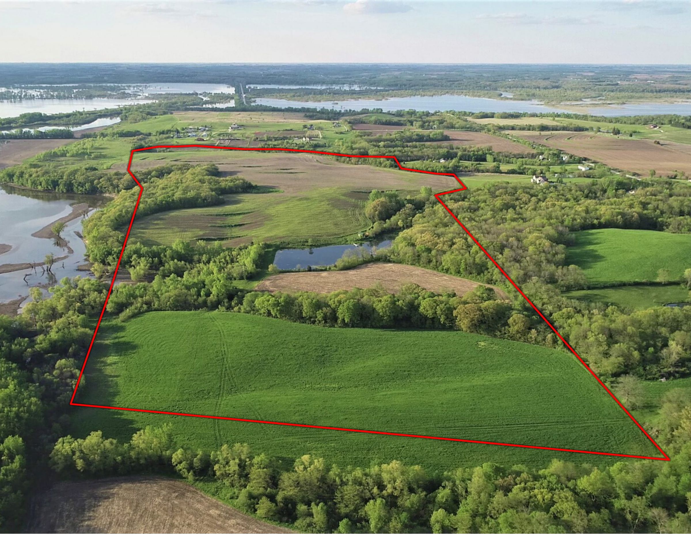
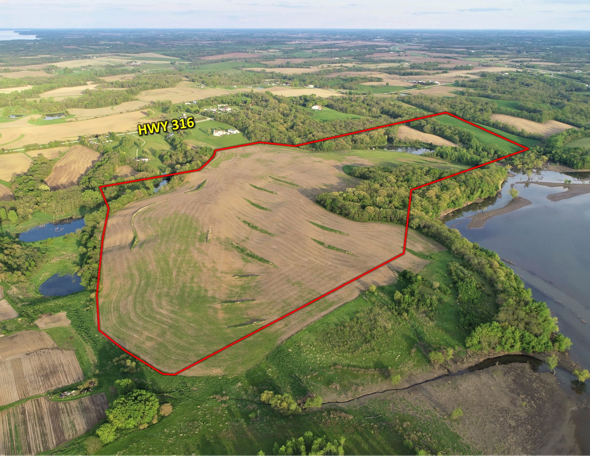
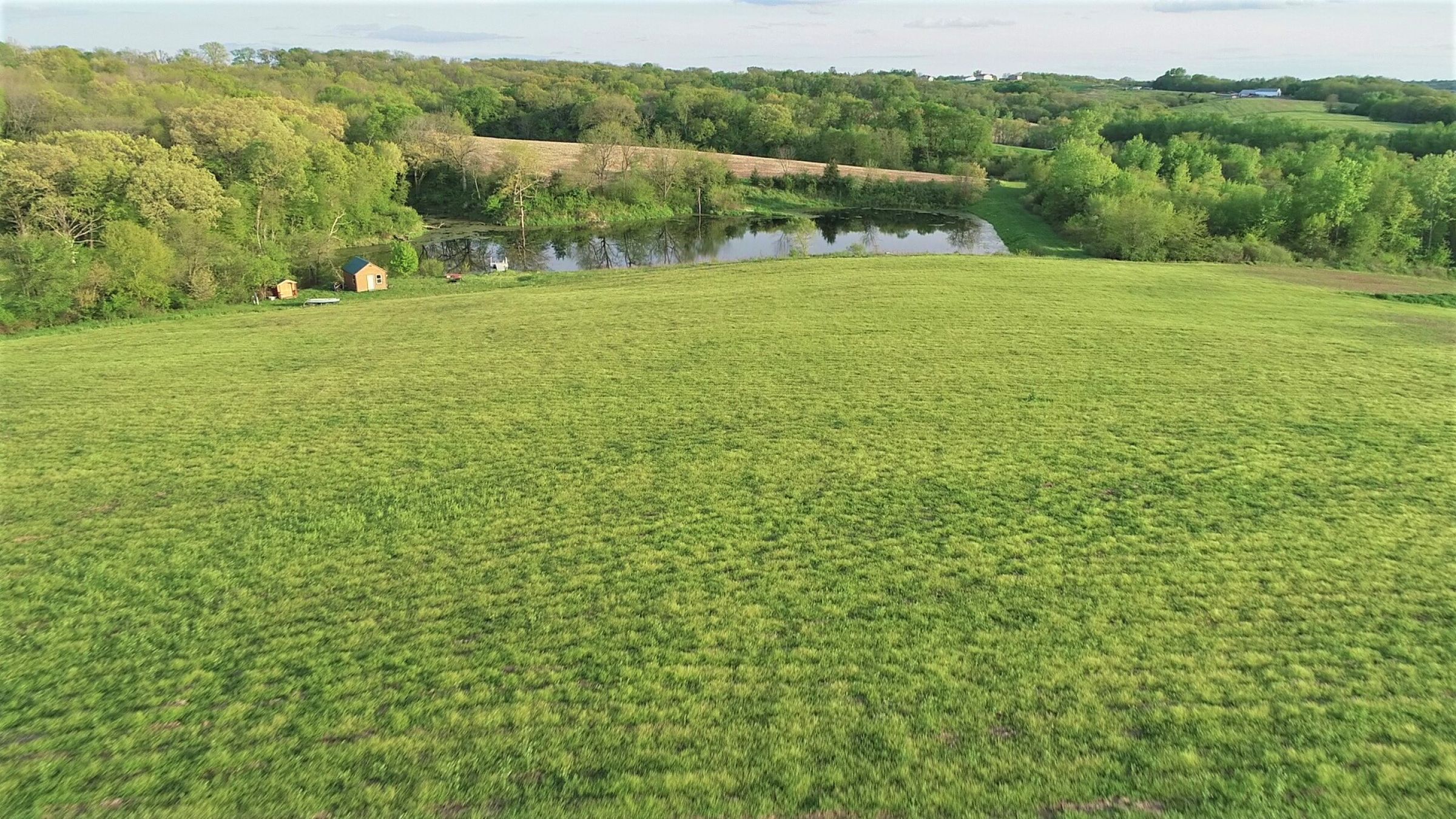
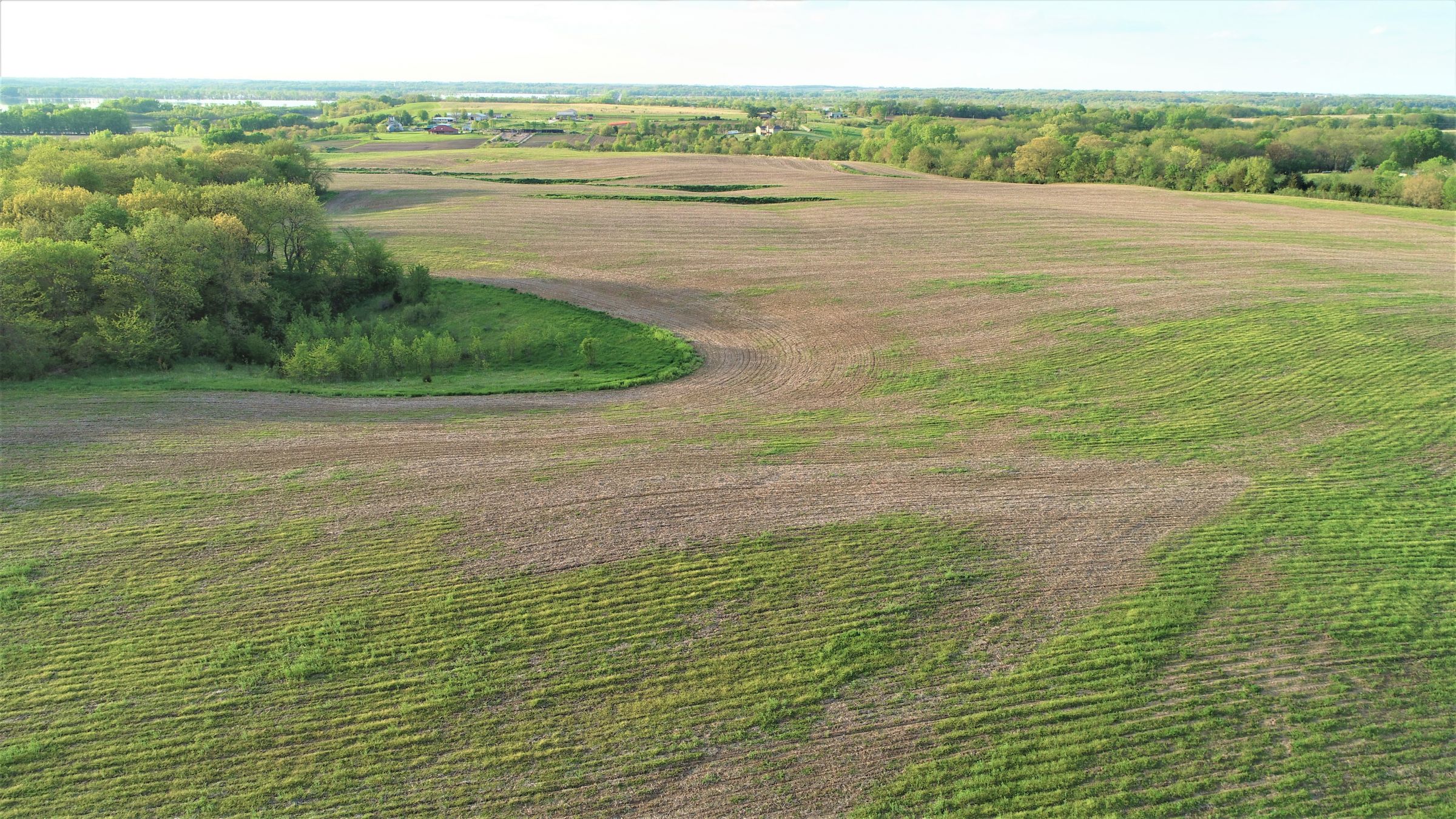
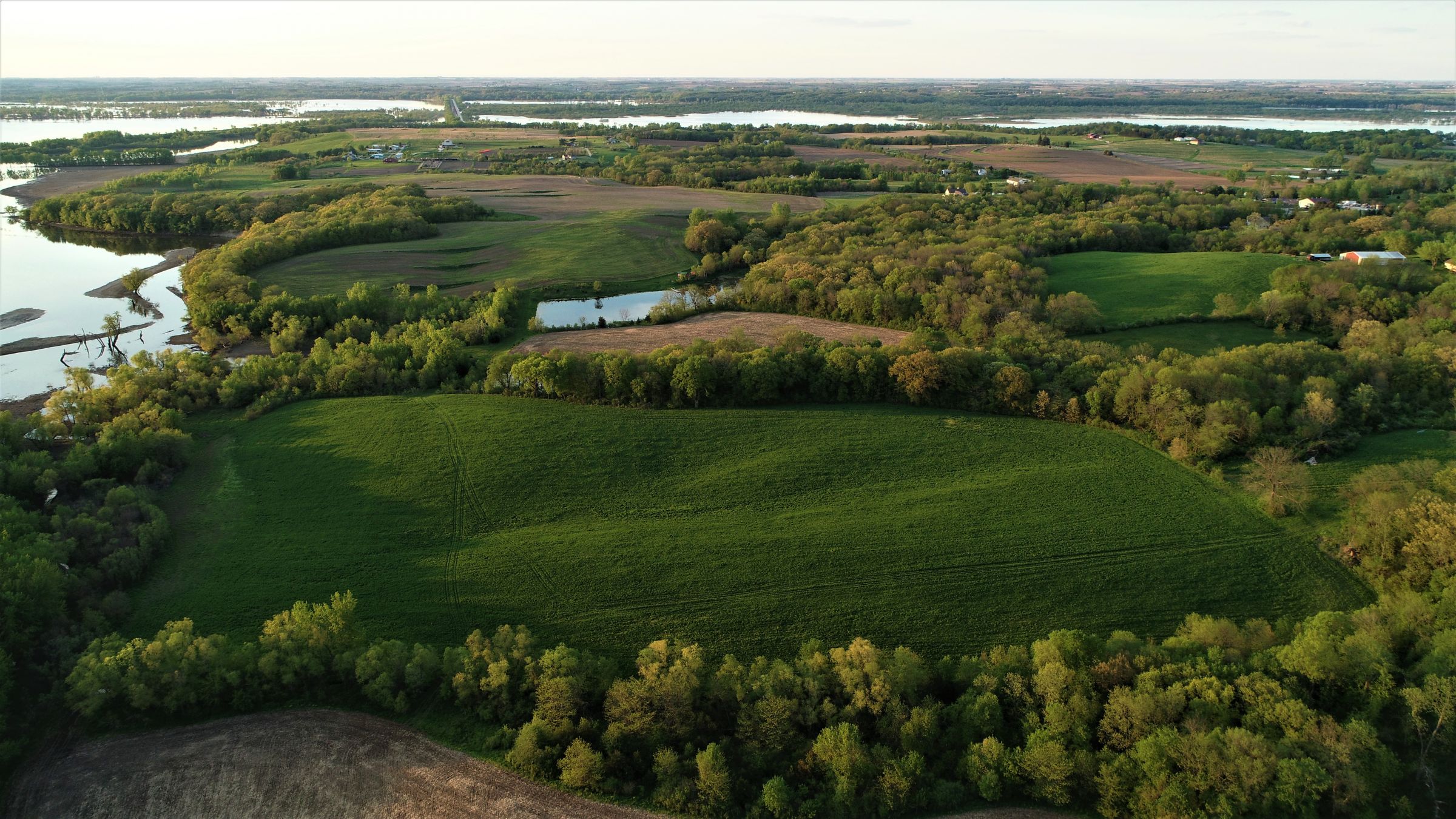
Offering 140 acres m/l of diverse Warren County farmland located on pavement just southeast of the Des Moines Metro and minutes from the Red Rock Reservoir. Farm consists of 103.08 FSA tillable acres (avg CSR2 of 50.2) with the balance in timber and ponds. The tillable acres provide significant annual income along with a quality food source for the local wildlife. Property adjoins Red Rock Wildlife Management Area allowing private access to some of the finest public hunting in Iowa. Excellent building site potential with rural water and electric available at the road. Scenic westerly views overlooking the confluence of Coal Creek and South River. There is a cabin and fishing dock on the 3 ac fully stocked pond, making it an excellent spot for a weekend getaway. This is a unique opportunity to own a farm that offers both seclusion and convenience to the metro all in the same package.

Legal Description

140 Acres more or less located in Section 24, Township 77 North, Range 22 West of the 5th P.M. in Warren County Iowa. Exact Legal description to be taken from the abstract at closing.

Details

Farm is awaiting reconstitution by Warren County FSA to determine cropland acres, base acres, etc.

Directions

From Hartford travel 4 miles southeast on Hwy 5. Turn left (north) on Hwy 316 and travel 1 mile property is on the left (west) side of Hwy 316. There are signs at both easement access points to the property. 

Improvements

Tile, Terraces, Small Cabin and ponds

  • Sign On Property: Yes
  • MLS Number: 581638
  • Parcel Number: 21000240426, 21000240246, 21000240481, 21000240299, 21000240260, 21000240288, 21000240828, 21000240846, 21000240866
  • School District: Pleasantville Schools
  • General Area: Northeastern Warren County
  • Net Taxes: $2,104.00
  • CSR2: 50.20
  • Water: Rural
  • Zoning: Agricultural


Interactive Map

Use the Interactive Map to explore the property's regional location. Zoom in and out to see the property's surroundings and toggle various mapping layers on and off in the Map Layer Menu.


Video

Click the "play" button below to watch an aerial drone video of this property.


Photos

Listing Photo Listing Photo Listing Photo Listing Photo Listing Photo Listing Photo Listing Photo Listing Photo Listing Photo